Property Record
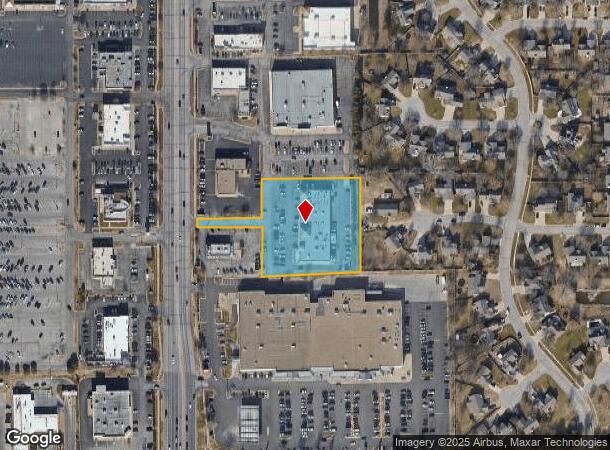
2330 N Maize Rd, Wichita, KS 67205


NEARBY LISTINGS FOR SALE OR LEASE
Property Detail
2330 N Maize Rd
Wichita, KS
Chadsworth Commercial 3Rd Add
133-05-0-33-02-009.02
LOT 2 CHADSWORTH COMMERCIAL 3RD ADD.
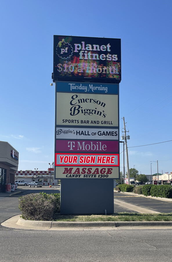
Storebuilding
Sedgwick
X
Kansas
20173C0327G
2
2023
2.19 AC
2023
Goddard/West
009515
Wichita
18,850 SF
DEMOGRAPHICS near 2330 N Maize Rd
1 Mile
3 Mile
5 Mile
2024 Total Population
10,094
58,770
106,843
2029 Population
10,069
59,241
108,238
Pop Growth 2024-2029
(0.25%)
+ 0.80%
+ 1.31%
Average Age
40
40
40
2024 Total Households
3,708
23,010
41,992
HH Growth 2024-2029
(0.32%)
+ 0.76%
+ 1.32%
Median Household Inc
$83,956
$80,884
$73,662
Avg Household Size
2.60
2.50
2.50
2024 Avg HH Vehicles
2.00
2.00
2.00
Median Home Value
$210,205
$220,768
$198,964
Median Year Built
1992
1991
1988
Nearby Places
- Restaurants
- Banks
- Shops
- Fitness
- Groceries
PUBLIC TRANSPORTATION
AIRPORT
Wichita Mid-Continent
DRIVE
WALK
Distance
Wichita Mid-Continent
16 min
6.9 mi
SALE & LEASE HISTORY
LISTING DATE
SALE/LEASE

Sep 22, 2017
For Lease
Oct 23, 2020
For Lease
May 18, 2023
For Lease
Jan 23, 2018
For Lease
Feb 21, 2020
For Sale
Nearby Properties
Address
Land Use
TOTAL SIZE
Lot Size
Zoning
Address
Land Use
TOTAL SIZE
Lot Size
Zoning
662,237 SF
179.74 AC
SF-5
Address
Land Use
TOTAL SIZE
Lot Size
Zoning
149,756 SF
65.60 AC
SF-5
Address
Land Use
TOTAL SIZE
Lot Size
Zoning
143,939 SF
10.88 AC
PUD
Address
Land Use
TOTAL SIZE
Lot Size
Zoning
303,559 SF
127.81 AC
SF-5
Address
Land Use
TOTAL SIZE
Lot Size
Zoning
108,480 SF
14.90 AC
GO
Address
Land Use
TOTAL SIZE
Lot Size
Zoning
82,854 SF
49.09 AC
LC,SF-5
Address
Land Use
TOTAL SIZE
Lot Size
Zoning
175,639 SF
22.91 AC
SF-5
Address
Land Use
TOTAL SIZE
Lot Size
Zoning
192,027 SF
117.94 AC
SF-20,GC,L
Address
Land Use
TOTAL SIZE
Lot Size
Zoning
102,794 SF
14.78 AC
SF-5
Address
Land Use
TOTAL SIZE
Lot Size
Zoning
143,704 SF
19.22 AC
SF-5
Address
Land Use
TOTAL SIZE
Lot Size
Zoning
136,717 SF
11.18 AC
SF-5
Address
Land Use
TOTAL SIZE
Lot Size
Zoning
74,378 SF
14.63 AC
GO
Address
Land Use
TOTAL SIZE
Lot Size
Zoning
70,821 SF
9.98 AC
SF-5
Address
Land Use
TOTAL SIZE
Lot Size
Zoning
38,927 SF
5.35 AC
LC
Address
Land Use
TOTAL SIZE
Lot Size
Zoning
56,519 SF
84.45 AC
SF-20,LI
Address
Land Use
TOTAL SIZE
Lot Size
Zoning
79,775 SF
7.94 AC
SF-5
Address
Land Use
TOTAL SIZE
Lot Size
Zoning
29,952 SF
3.98 AC
GO
Address
Land Use
TOTAL SIZE
Lot Size
Zoning
173,604 SF
21.29 AC
LC
Address
Land Use
TOTAL SIZE
Lot Size
Zoning
65,504 SF
6.81 AC
SF-5
Address
Land Use
TOTAL SIZE
Lot Size
Zoning
62,321 SF
13.21 AC
SF-5
Address
Land Use
TOTAL SIZE
Lot Size
Zoning
51,845 SF
5.51 AC
SF-5
Address
Land Use
TOTAL SIZE
Lot Size
Zoning
47,158 SF
211.18 AC
SF-20,LC
Address
Land Use
TOTAL SIZE
Lot Size
Zoning
60,085 SF
7.37 AC
SF-5
Address
Land Use
TOTAL SIZE
Lot Size
Zoning
34,963 SF
6.13 AC
Address
Land Use
TOTAL SIZE
Lot Size
Zoning
65,110 SF
3.94 AC
B
Address
Land Use
TOTAL SIZE
Lot Size
Zoning
33,953 SF
10.05 AC
SF-5
Address
Land Use
TOTAL SIZE
Lot Size
Zoning
56,821 SF
2.68 AC
SF-5
Address
Land Use
TOTAL SIZE
Lot Size
Zoning
37,055 SF
19.24 AC
SF-20
Address
Land Use
TOTAL SIZE
Lot Size
Zoning
87.72 AC
SF-5
Address
Land Use
TOTAL SIZE
Lot Size
Zoning
63,178 SF
15.51 AC
MF-29
The World's #1 Commercial Real Estate Marketplace
Connect with us
© 2025 CoStar Group
The information above has been obtained from sources believed reliable. While we do not doubt its accuracy we have not verified it and make no guarantee, warranty or representation about it. It is your responsibility to independently confirm its accuracy and completeness. Any projections, opinions, assumptions, or estimates used are for example only and do not represent the current or future performance of the property. The value of this transaction to you depends on tax and other factors which should be evaluated by your tax, financial, and legal advisors. You and your advisors should conduct a careful, independent investigation of the property to determine to your satisfaction the suitability of the property for your needs.