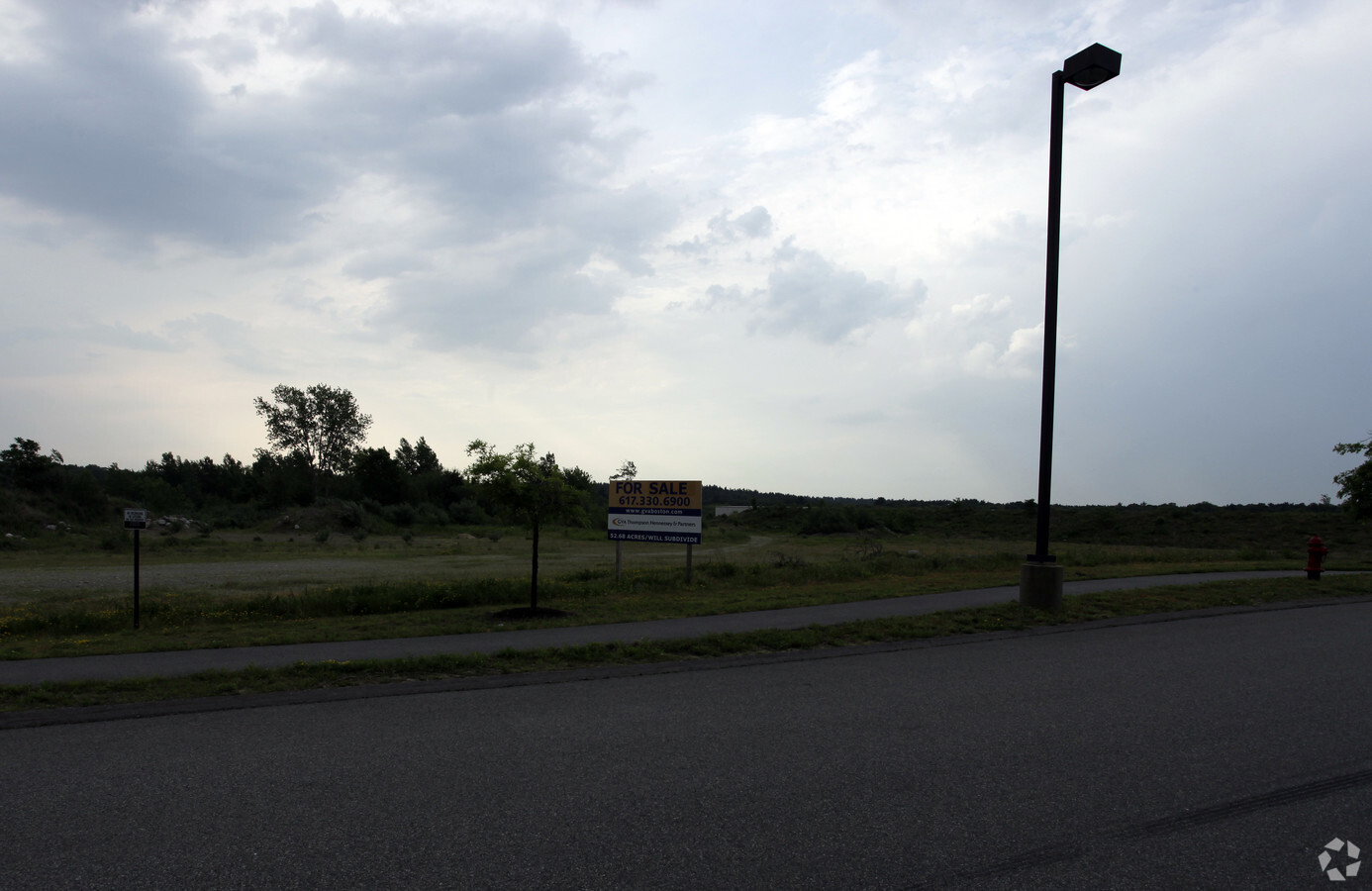
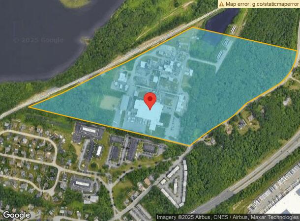
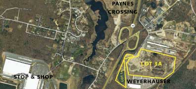
Property Record
238 S Main St, Assonet, MA 02702

NEARBY LISTINGS FOR SALE OR LEASE
Property Detail
238 S Main St
Industrialgeneral
Bristol
A
Massachusetts
25005C0263G
54 AC
2020
Attleboro/New Bedford
2025
Boston
617101
Providence-Warwick, RI-MA
10,400 SF
FREE-000235-000000-000009
DEMOGRAPHICS near 238 S Main St
1 Mile
3 Mile
5 Mile
2024 Total Population
888
11,098
38,472
2029 Population
876
11,061
38,316
Pop Growth 2024-2029
(1.35%)
(0.33%)
(0.41%)
Average Age
42
42
43
2024 Total Households
316
4,431
14,674
HH Growth 2024-2029
(1.58%)
(0.27%)
(0.37%)
Median Household Inc
$107,954
$89,064
$92,730
Avg Household Size
2.70
2.50
2.60
2024 Avg HH Vehicles
2.00
2.00
2.00
Median Home Value
$441,743
$430,189
$413,473
Median Year Built
1977
1979
1975
Nearby Places
- Restaurants
- Banks
- Shops
- Fitness
- Groceries
PUBLIC TRANSPORTATION
AIRPORT
Rhode Island Tf Green International
DRIVE
WALK
Distance
Rhode Island Tf Green International
44 min
27.0 mi
Freight Ports
Port of New Bedford Harbor
DRIVE
WALK
Distance
Port of New Bedford Harbor
25 min
18.5 mi
SALE & LEASE HISTORY
LISTING DATE
SALE/LEASE

Sep 30, 2016
For Sale
Sep 25, 2016
For Lease
Sep 24, 2016
For Sale
Nearby Properties
Address
Land Use
TOTAL SIZE
Lot Size
Zoning
Address
Land Use
TOTAL SIZE
Lot Size
Zoning
174.51 AC
I
Address
Land Use
TOTAL SIZE
Lot Size
Zoning
226,473 SF
29.10 AC
R1
Address
Land Use
TOTAL SIZE
Lot Size
Zoning
0.06 AC
IND
Address
Land Use
TOTAL SIZE
Lot Size
Zoning
599,760 SF
33.60 AC
INPK
Address
Land Use
TOTAL SIZE
Lot Size
Zoning
115,119 SF
151.54 AC
WR
Address
Land Use
TOTAL SIZE
Lot Size
Zoning
387.82 AC
I
Address
Land Use
TOTAL SIZE
Lot Size
Zoning
104,822 SF
16.61 AC
R1
Address
Land Use
TOTAL SIZE
Lot Size
Zoning
17.18 AC
IND
Address
Land Use
TOTAL SIZE
Lot Size
Zoning
10 AC
B
Address
Land Use
TOTAL SIZE
Lot Size
Zoning
18.65 AC
IND
Address
Land Use
TOTAL SIZE
Lot Size
Zoning
65.74 AC
B
Address
Land Use
TOTAL SIZE
Lot Size
Zoning
28,438 SF
245 AC
C
Address
Land Use
TOTAL SIZE
Lot Size
Zoning
255,600 SF
12.46 AC
R4
Address
Land Use
TOTAL SIZE
Lot Size
Zoning
497,656 SF
30.47 AC
INPK
Address
Land Use
TOTAL SIZE
Lot Size
Zoning
53.87 AC
N/A
Address
Land Use
TOTAL SIZE
Lot Size
Zoning
26.51 AC
G
Address
Land Use
TOTAL SIZE
Lot Size
Zoning
136,814 SF
4.07 AC
IND
Address
Land Use
TOTAL SIZE
Lot Size
Zoning
341,531 SF
17.57 AC
INPK
Address
Land Use
TOTAL SIZE
Lot Size
Zoning
3,150 SF
7.91 AC
S
Address
Land Use
TOTAL SIZE
Lot Size
Zoning
199,138 SF
15.10 AC
INPK
Address
Land Use
TOTAL SIZE
Lot Size
Zoning
4.33 AC
B
Address
Land Use
TOTAL SIZE
Lot Size
Zoning
9.65 AC
B-L
Address
Land Use
TOTAL SIZE
Lot Size
Zoning
87,806 SF
4 AC
B
Address
Land Use
TOTAL SIZE
Lot Size
Zoning
5.79 AC
S
Address
Land Use
TOTAL SIZE
Lot Size
Zoning
297,041 SF
30.89 AC
INPK
Address
Land Use
TOTAL SIZE
Lot Size
Zoning
128.57 AC
WR
Address
Land Use
TOTAL SIZE
Lot Size
Zoning
17.01 AC
S
Address
Land Use
TOTAL SIZE
Lot Size
Zoning
107,712 SF
9.38 AC
B-L
Address
Land Use
TOTAL SIZE
Lot Size
Zoning
39,944 SF
47.07 AC
I2
The World's #1 Commercial Real Estate Marketplace
Connect with us
© 2025 CoStar Group
The information above has been obtained from sources believed reliable. While we do not doubt its accuracy we have not verified it and make no guarantee, warranty or representation about it. It is your responsibility to independently confirm its accuracy and completeness. Any projections, opinions, assumptions, or estimates used are for example only and do not represent the current or future performance of the property. The value of this transaction to you depends on tax and other factors which should be evaluated by your tax, financial, and legal advisors. You and your advisors should conduct a careful, independent investigation of the property to determine to your satisfaction the suitability of the property for your needs.