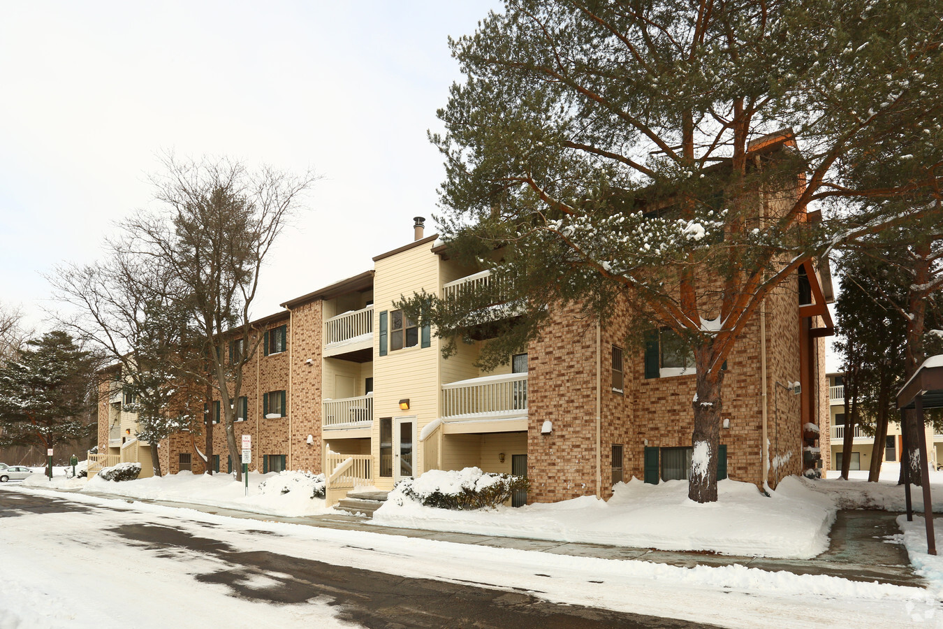
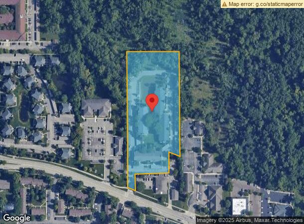
Property Record
2385 Burnt Tree Ln, East Lansing, MI 48823
NEARBY LISTINGS FOR SALE OR LEASE
Property Detail
2385 Burnt Tree Ln
20-01-01-301-009
Lansing
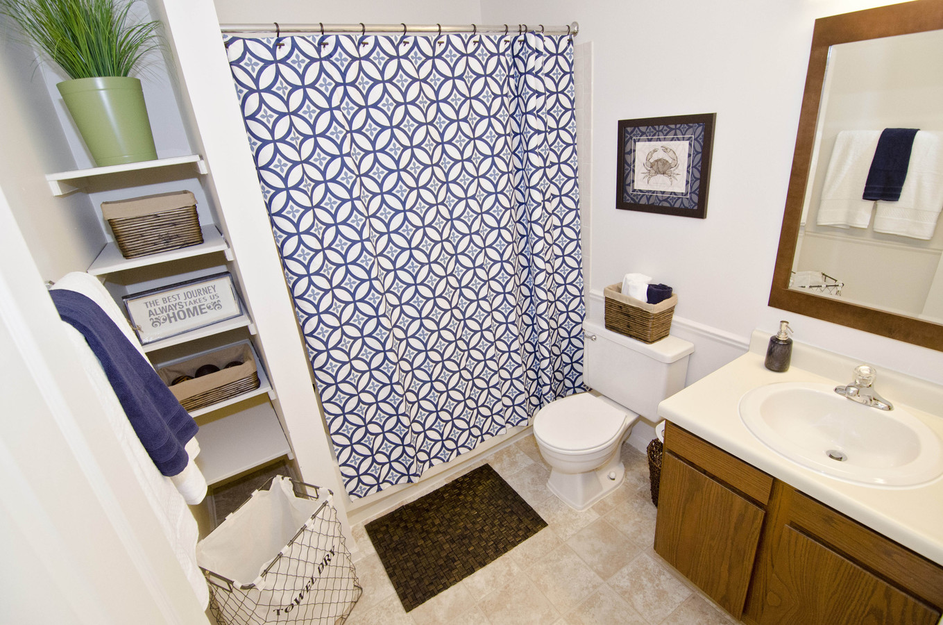
Multifamilydwelling
A PART OF THE SOUTHWEST 1/4 OF SEC 1 T4NR2W CITY OF EAST LANSING ING CO MI DESC AS COMM AT THE N 1/4 COR TH S 00^15^46 W
AE
Ingham
26065C0040D
Michigan
2023
4.14 AC
2024
East Lansing
0038023004
West Michigan
115,010 SF
Lansing-East Lansing, MI
DEMOGRAPHICS near 2385 Burnt Tree Ln
1 Mile
3 Mile
5 Mile
2024 Total Population
10,335
73,721
141,943
2029 Population
10,298
74,167
142,600
Pop Growth 2024-2029
(0.36%)
+ 0.60%
+ 0.46%
Average Age
35
34
36
2024 Total Households
4,932
31,381
61,523
HH Growth 2024-2029
(0.43%)
+ 0.65%
+ 0.43%
Median Household Inc
$41,512
$45,719
$49,154
Avg Household Size
2.00
2.10
2.10
2024 Avg HH Vehicles
2.00
2.00
2.00
Median Home Value
$200,701
$176,035
$163,181
Median Year Built
1985
1973
1969
Nearby Places
- Restaurants
- Banks
- Shops
- Fitness
- Groceries
PUBLIC TRANSPORTATION
COMMUTER RAIL
East Lansing Amtrak Station (Blue Water - Amtrak)
DRIVE
WALK
Distance
East Lansing Amtrak Station (Blue Water - Amtrak)
8 min
3.2 mi
AIRPORT
Capital Region International
DRIVE
WALK
Distance
Capital Region International
14 min
6.3 mi
Freight Ports
Port of Toledo
DRIVE
WALK
Distance
Port of Toledo
147 min
116.1 mi
Nearby Properties
Address
Land Use
TOTAL SIZE
Lot Size
Zoning
Address
Land Use
TOTAL SIZE
Lot Size
Zoning
42,875 SF
35 AC
PD
Address
Land Use
TOTAL SIZE
Lot Size
Zoning
66,818 SF
0.99 AC
EV
Address
Land Use
TOTAL SIZE
Lot Size
Zoning
7,579 SF
83.53 AC
PD
Address
Land Use
TOTAL SIZE
Lot Size
Zoning
42,875 SF
28.77 AC
Address
Land Use
TOTAL SIZE
Lot Size
Zoning
14,304 SF
3.37 AC
MIXED Z
Address
Land Use
TOTAL SIZE
Lot Size
Zoning
222,869 SF
0.10 AC
B3
Address
Land Use
TOTAL SIZE
Lot Size
Zoning
182,250 SF
10.55 AC
Address
Land Use
TOTAL SIZE
Lot Size
Zoning
12,435 SF
0.52 AC
B3
Address
Land Use
TOTAL SIZE
Lot Size
Zoning
73,179 SF
58.17 AC
RM14
Address
Land Use
TOTAL SIZE
Lot Size
Zoning
63,461 SF
32 AC
F COMM
Address
Land Use
TOTAL SIZE
Lot Size
Zoning
195,094 SF
1.89 AC
Address
Land Use
TOTAL SIZE
Lot Size
Zoning
16,466 SF
14.82 AC
DEVELOPMEN
Address
Land Use
TOTAL SIZE
Lot Size
Zoning
179,376 SF
6.03 AC
RM32
Address
Land Use
TOTAL SIZE
Lot Size
Zoning
20,438 SF
17.81 AC
DEVELOPMEN
Address
Land Use
TOTAL SIZE
Lot Size
Zoning
19,035 SF
12.32 AC
RM08
Address
Land Use
TOTAL SIZE
Lot Size
Zoning
188,175 SF
4.37 AC
EV
Address
Land Use
TOTAL SIZE
Lot Size
Zoning
131,234 SF
2.49 AC
Address
Land Use
TOTAL SIZE
Lot Size
Zoning
190,702 SF
24.36 AC
B4
Address
Land Use
TOTAL SIZE
Lot Size
Zoning
215,335 SF
38.10 AC
RM08
Address
Land Use
TOTAL SIZE
Lot Size
Zoning
188,932 SF
47.56 AC
B4
Address
Land Use
TOTAL SIZE
Lot Size
Zoning
300,760 SF
27.22 AC
RM08
Address
Land Use
TOTAL SIZE
Lot Size
Zoning
9,628 SF
1.86 AC
B2
Address
Land Use
TOTAL SIZE
Lot Size
Zoning
179,376 SF
5.68 AC
Address
Land Use
TOTAL SIZE
Lot Size
Zoning
141,026 SF
0.45 AC
B3
Address
Land Use
TOTAL SIZE
Lot Size
Zoning
66.43 AC
Address
Land Use
TOTAL SIZE
Lot Size
Zoning
9,280 SF
24.38 AC
RC
Address
Land Use
TOTAL SIZE
Lot Size
Zoning
118,415 SF
4.74 AC
RM22
Address
Land Use
TOTAL SIZE
Lot Size
Zoning
8,834 SF
17.46 AC
DEVELOPMEN
Address
Land Use
TOTAL SIZE
Lot Size
Zoning
19,035 SF
11.98 AC
RM08
Address
Land Use
TOTAL SIZE
Lot Size
Zoning
112,248 SF
3.70 AC
B2
The World's #1 Commercial Real Estate Marketplace
Connect with us
© 2025 CoStar Group
The information above has been obtained from sources believed reliable. While we do not doubt its accuracy we have not verified it and make no guarantee, warranty or representation about it. It is your responsibility to independently confirm its accuracy and completeness. Any projections, opinions, assumptions, or estimates used are for example only and do not represent the current or future performance of the property. The value of this transaction to you depends on tax and other factors which should be evaluated by your tax, financial, and legal advisors. You and your advisors should conduct a careful, independent investigation of the property to determine to your satisfaction the suitability of the property for your needs.