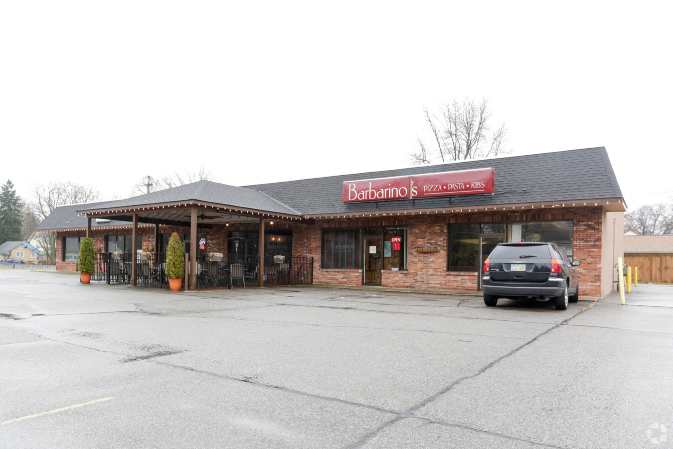
Property Record
23861 Sprague Rd, Columbia Station, OH 44028


NEARBY LISTINGS FOR SALE OR LEASE
Property Detail
23861 Sprague Rd
Cleveland-Elyria, OH
West View Park Sub
12-00-020-103-024
WEST VIEW PARK SUB 200 X 150 S/L 3-6
Storebuilding
Lorain
X
Ohio
39035C0257E
3 - 6
2023
0.68 AC
2023
Lorain County
090100
Cleveland
5,400 SF
DEMOGRAPHICS near 23861 Sprague Rd
1 Mile
3 Mile
5 Mile
2024 Total Population
4,826
43,765
105,744
2029 Population
4,846
42,888
103,514
Pop Growth 2024-2029
+ 0.41%
(2.00%)
(2.11%)
Average Age
44
43
44
2024 Total Households
2,024
17,737
44,407
HH Growth 2024-2029
(0.10%)
(2.19%)
(2.33%)
Median Household Inc
$88,305
$83,202
$78,926
Avg Household Size
2.30
2.40
2.30
2024 Avg HH Vehicles
2.00
2.00
2.00
Median Home Value
$190,866
$217,393
$212,051
Median Year Built
1985
1974
1973
Nearby Places
- Restaurants
- Banks
- Shops
- Fitness
- Groceries
PUBLIC TRANSPORTATION
AIRPORT
Cleveland-Hopkins International
DRIVE
WALK
Distance
Cleveland-Hopkins International
19 min
8.8 mi
Freight Ports
Port of Toledo
DRIVE
WALK
Distance
Port of Toledo
122 min
102.6 mi
SALE & LEASE HISTORY
LISTING DATE
SALE/LEASE

Jan 23, 2017
For Lease
Nearby Properties
Address
Land Use
TOTAL SIZE
Lot Size
Zoning
Address
Land Use
TOTAL SIZE
Lot Size
Zoning
1,514 SF
23.65 AC
RSF-B
Address
Land Use
TOTAL SIZE
Lot Size
Zoning
289,215 SF
20.56 AC
RSF-B
Address
Land Use
TOTAL SIZE
Lot Size
Zoning
321,907 SF
20.63 AC
RSF-B
Address
Land Use
TOTAL SIZE
Lot Size
Zoning
278,056 SF
42.71 AC
R-40
Address
Land Use
TOTAL SIZE
Lot Size
Zoning
299,114 SF
23.65 AC
RSF-B
Address
Land Use
TOTAL SIZE
Lot Size
Zoning
53,653 SF
30.83 AC
Address
Land Use
TOTAL SIZE
Lot Size
Zoning
209,822 SF
26.92 AC
R-40
Address
Land Use
TOTAL SIZE
Lot Size
Zoning
426.60 AC
PF
Address
Land Use
TOTAL SIZE
Lot Size
Zoning
381,528 SF
42.50 AC
GI
Address
Land Use
TOTAL SIZE
Lot Size
Zoning
120,478 SF
17.45 AC
Address
Land Use
TOTAL SIZE
Lot Size
Zoning
334,360 SF
8.22 AC
MF-HD
Address
Land Use
TOTAL SIZE
Lot Size
Zoning
112,629 SF
9.62 AC
RSF-B
Address
Land Use
TOTAL SIZE
Lot Size
Zoning
59,296 SF
7.08 AC
CC
Address
Land Use
TOTAL SIZE
Lot Size
Zoning
141,245 SF
8.90 AC
1F1
Address
Land Use
TOTAL SIZE
Lot Size
Zoning
80,578 SF
46.73 AC
Address
Land Use
TOTAL SIZE
Lot Size
Zoning
188,031 SF
16.59 AC
R-40
Address
Land Use
TOTAL SIZE
Lot Size
Zoning
247,299 SF
23.38 AC
GI
Address
Land Use
TOTAL SIZE
Lot Size
Zoning
173,390 SF
11.56 AC
GI
Address
Land Use
TOTAL SIZE
Lot Size
Zoning
171,000 SF
10.17 AC
GI
Address
Land Use
TOTAL SIZE
Lot Size
Zoning
163,030 SF
7.68 AC
Address
Land Use
TOTAL SIZE
Lot Size
Zoning
90,351 SF
9.46 AC
D-5
Address
Land Use
TOTAL SIZE
Lot Size
Zoning
171.19 AC
RSF-B
Address
Land Use
TOTAL SIZE
Lot Size
Zoning
164.79 AC
RSF-B
Address
Land Use
TOTAL SIZE
Lot Size
Zoning
229,487 SF
14.06 AC
GI
Address
Land Use
TOTAL SIZE
Lot Size
Zoning
80,001 SF
11.71 AC
RSF-B
Address
Land Use
TOTAL SIZE
Lot Size
Zoning
91,557 SF
22.50 AC
MUPD
Address
Land Use
TOTAL SIZE
Lot Size
Zoning
64,106 SF
1.29 AC
CC
Address
Land Use
TOTAL SIZE
Lot Size
Zoning
121,778 SF
23.40 AC
D-3
Address
Land Use
TOTAL SIZE
Lot Size
Zoning
148,816 SF
7.95 AC
LI
Address
Land Use
TOTAL SIZE
Lot Size
Zoning
61,251 SF
1.89 AC
D-3
The World's #1 Commercial Real Estate Marketplace
Connect with us
© 2025 CoStar Group
The information above has been obtained from sources believed reliable. While we do not doubt its accuracy we have not verified it and make no guarantee, warranty or representation about it. It is your responsibility to independently confirm its accuracy and completeness. Any projections, opinions, assumptions, or estimates used are for example only and do not represent the current or future performance of the property. The value of this transaction to you depends on tax and other factors which should be evaluated by your tax, financial, and legal advisors. You and your advisors should conduct a careful, independent investigation of the property to determine to your satisfaction the suitability of the property for your needs.