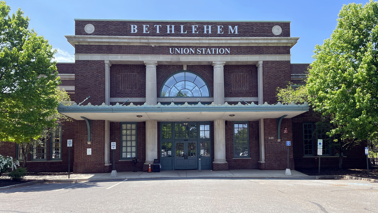
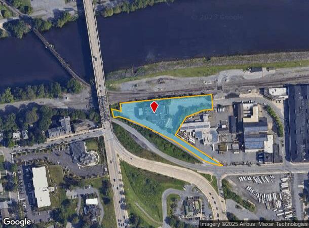
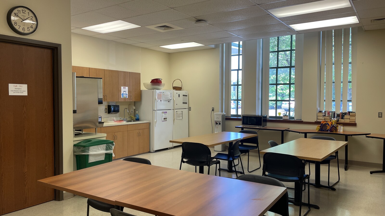
Property Record
240 Union Station Plz, Bethlehem, PA 18015
NEARBY LISTINGS FOR SALE OR LEASE
Property Detail
240 Union Station Plz
Medicalbuilding
Northampton
X
Pennsylvania
42095C0307E
2.23 AC
2024
Lehigh Valley
2024
Philadelphia
011000
Allentown-Bethlehem-Easton, PA-NJ
25,661 SF
P6-2-1B-0204-E
DEMOGRAPHICS near 240 Union Station Plz
1 Mile
3 Mile
5 Mile
2024 Total Population
29,986
97,614
210,010
2029 Population
30,141
98,076
211,285
Pop Growth 2024-2029
+ 0.52%
+ 0.47%
+ 0.61%
Average Age
35
39
39
2024 Total Households
10,562
38,175
80,016
HH Growth 2024-2029
+ 0.82%
+ 0.59%
+ 0.71%
Median Household Inc
$44,864
$60,576
$62,739
Avg Household Size
2.20
2.30
2.40
2024 Avg HH Vehicles
1.00
2.00
2.00
Median Home Value
$168,165
$205,572
$222,451
Median Year Built
1947
1955
1959
Nearby Places
- Restaurants
- Banks
- Shops
- Fitness
- Groceries
PUBLIC TRANSPORTATION
AIRPORT
Lehigh Valley International
DRIVE
WALK
Distance
Lehigh Valley International
14 min
6.3 mi
Freight Ports
Port of Philadelphia
DRIVE
WALK
Distance
Port of Philadelphia
84 min
51.4 mi
Nearby Properties
Address
Land Use
TOTAL SIZE
Lot Size
Zoning
Address
Land Use
TOTAL SIZE
Lot Size
Zoning
541,843 SF
35.82 AC
INST
Address
Land Use
TOTAL SIZE
Lot Size
Zoning
425,507 SF
52.58 AC
HI
Address
Land Use
TOTAL SIZE
Lot Size
Zoning
649,498 SF
22.51 AC
I
Address
Land Use
TOTAL SIZE
Lot Size
Zoning
13,164 SF
27.89 AC
RT
Address
Land Use
TOTAL SIZE
Lot Size
Zoning
184,739 SF
6.75 AC
I
Address
Land Use
TOTAL SIZE
Lot Size
Zoning
29,982 SF
14.39 AC
RT
Address
Land Use
TOTAL SIZE
Lot Size
Zoning
12,838 SF
36.50 AC
IP
Address
Land Use
TOTAL SIZE
Lot Size
Zoning
144,692 SF
3.51 AC
I
Address
Land Use
TOTAL SIZE
Lot Size
Zoning
104,379 SF
22.66 AC
CS
Address
Land Use
TOTAL SIZE
Lot Size
Zoning
1,200,000 SF
107.27 AC
HI
Address
Land Use
TOTAL SIZE
Lot Size
Zoning
26,653 SF
13.51 AC
HI
Address
Land Use
TOTAL SIZE
Lot Size
Zoning
57,441 SF
19.85 AC
CS
Address
Land Use
TOTAL SIZE
Lot Size
Zoning
11,856 SF
454.48 AC
CM
Address
Land Use
TOTAL SIZE
Lot Size
Zoning
106,829 SF
14.15 AC
R4
Address
Land Use
TOTAL SIZE
Lot Size
Zoning
80,277 SF
3.23 AC
MHDR
Address
Land Use
TOTAL SIZE
Lot Size
Zoning
189,805 SF
11.43 AC
I-3
Address
Land Use
TOTAL SIZE
Lot Size
Zoning
119,618 SF
19.84 AC
RR
Address
Land Use
TOTAL SIZE
Lot Size
Zoning
800,250 SF
40.07 AC
HI
Address
Land Use
TOTAL SIZE
Lot Size
Zoning
35,877 SF
9 AC
R-MH
Address
Land Use
TOTAL SIZE
Lot Size
Zoning
11,356 SF
RG
Address
Land Use
TOTAL SIZE
Lot Size
Zoning
3,400 SF
65.07 AC
RM
Address
Land Use
TOTAL SIZE
Lot Size
Zoning
676,788 SF
39.39 AC
HI
Address
Land Use
TOTAL SIZE
Lot Size
Zoning
10,572 SF
54.17 AC
IP
Address
Land Use
TOTAL SIZE
Lot Size
Zoning
57,635 SF
2.69 AC
I
Address
Land Use
TOTAL SIZE
Lot Size
Zoning
62,433 SF
4.21 AC
I
Address
Land Use
TOTAL SIZE
Lot Size
Zoning
421,883 SF
34.66 AC
HI
Address
Land Use
TOTAL SIZE
Lot Size
Zoning
11,979 SF
8.94 AC
I-G
Address
Land Use
TOTAL SIZE
Lot Size
Zoning
347,514 SF
10.27 AC
RM
Address
Land Use
TOTAL SIZE
Lot Size
Zoning
2,726 SF
13.40 AC
RG
Address
Land Use
TOTAL SIZE
Lot Size
Zoning
168,984 SF
20.31 AC
I
The World's #1 Commercial Real Estate Marketplace
Connect with us
© 2025 CoStar Group
The information above has been obtained from sources believed reliable. While we do not doubt its accuracy we have not verified it and make no guarantee, warranty or representation about it. It is your responsibility to independently confirm its accuracy and completeness. Any projections, opinions, assumptions, or estimates used are for example only and do not represent the current or future performance of the property. The value of this transaction to you depends on tax and other factors which should be evaluated by your tax, financial, and legal advisors. You and your advisors should conduct a careful, independent investigation of the property to determine to your satisfaction the suitability of the property for your needs.