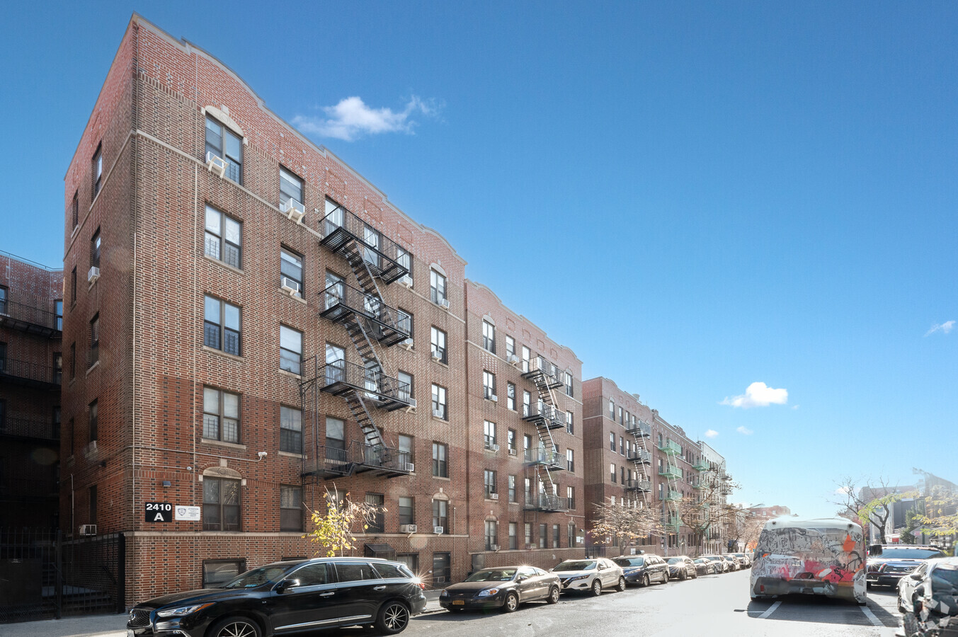
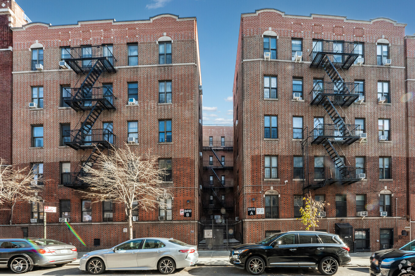
Property Record
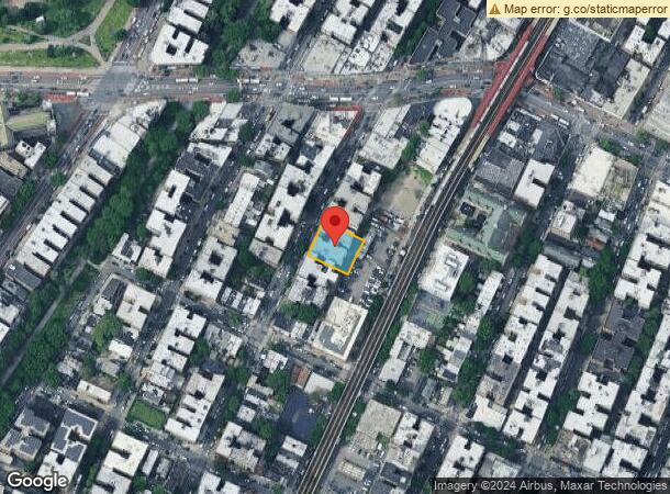
2400 Davidson Ave, Bronx, NY 10468

NEARBY LISTINGS FOR SALE OR LEASE
-
-
-
-
-
-
-
-
-
-
-
-
-
No Photo
-
-
-
-
-
-
-
-
-
-
-
-
-
-
-
-
-
-
View all Bronx listings for lease on LoopNet.com
Property Detail
2400 Davidson Ave
New York-Jersey City-White Plains, NY-NJ
Bronx
03199-0062
New York
Cooperativebuildingresidential
0.27 AC
X
University Heights
3604970082F
Westchester/So Connecticut
40,000 SF
DEMOGRAPHICS near 2400 Davidson Ave
1 Mile
3 Mile
5 Mile
2024 Total Population
224,004
1,151,606
1,981,406
2029 Population
210,011
1,072,606
1,845,554
Pop Growth 2024-2029
(6.25%)
(6.86%)
(6.86%)
Average Age
37
38
39
2024 Total Households
74,181
411,120
729,154
HH Growth 2024-2029
(6.99%)
(7.48%)
(7.32%)
Median Household Inc
$39,170
$43,544
$47,025
Avg Household Size
2.80
2.60
2.60
2024 Avg HH Vehicles
.00
.00
1.00
Median Home Value
$380,024
$488,603
$527,320
Median Year Built
1947
1949
1952
Nearby Places
- Restaurants
- Banks
- Shops
- Fitness
- Groceries
PUBLIC TRANSPORTATION
TRANSIT/SUBWAY
Fordham Road (4 Line) (4 - New York MTA Subway (The Subway))
Drive
Walk
Distance
Fordham Road (4 Line) (4 - New York MTA Subway (The Subway))
0 min
2 min
0.1 mi
183 Street (4 - New York MTA Subway (The Subway))
Drive
Walk
Distance
183 Street (4 - New York MTA Subway (The Subway))
1 min
5 min
0.3 mi
Fordham Road (B,D Line) (B - New York MTA Subway (The Subway), D - New York MTA Subway (The Subway))
Drive
Walk
Distance
Fordham Road (B,D Line) (B - New York MTA Subway (The Subway), D - New York MTA Subway (The Subway))
1 min
7 min
0.4 mi
Kingsbridge Road (4 Line) (4 - New York MTA Subway (The Subway))
Drive
Walk
Distance
Kingsbridge Road (4 Line) (4 - New York MTA Subway (The Subway))
1 min
10 min
0.5 mi
182-183 Streets (B - New York MTA Subway (The Subway), D - New York MTA Subway (The Subway))
Drive
Walk
Distance
182-183 Streets (B - New York MTA Subway (The Subway), D - New York MTA Subway (The Subway))
2 min
10 min
0.6 mi
COMMUTER RAIL
Fordham Station (Harlem Line - Metro-North Commuter Railroad Company (Metro-North), New Haven Line - Metro-North Commuter Railroad Company (Metro-North))
Drive
Walk
Distance
Fordham Station (Harlem Line - Metro-North Commuter Railroad Company (Metro-North), New Haven Line - Metro-North Commuter Railroad Company (Metro-North))
2 min
14 min
0.7 mi
University Heights Station (Hudson Line - Metro-North Commuter Railroad Company (Metro-North))
Drive
Walk
Distance
University Heights Station (Hudson Line - Metro-North Commuter Railroad Company (Metro-North))
3 min
15 min
0.8 mi
AIRPORT
Laguardia
Drive
Walk
Distance
Laguardia
20 min
10.8 mi
John F Kennedy International
Drive
Walk
Distance
John F Kennedy International
31 min
20.9 mi
Westchester County
Drive
Walk
Distance
Westchester County
36 min
23.1 mi
Freight Ports
NY - Red Hook Container Terminal
Drive
Walk
Distance
NY - Red Hook Container Terminal
33 min
18.9 mi
SALE & LEASE HISTORY
LISTING DATE
SALE/LEASE

Aug 04, 2020
For Lease
Nearby Properties
Address
Land Use
TOTAL SIZE
Lot Size
Zoning
Address
Land Use
TOTAL SIZE
Lot Size
Zoning
1290000
14.56 AC
PARK
Address
Land Use
TOTAL SIZE
Lot Size
Zoning
3693539
8.37 AC
R8
Address
Land Use
TOTAL SIZE
Lot Size
Zoning
1299700
29.82 AC
R6
Address
Land Use
TOTAL SIZE
Lot Size
Zoning
1743584
77.87 AC
R6
Address
Land Use
TOTAL SIZE
Lot Size
Zoning
24.08 AC
B2-A
Address
Land Use
TOTAL SIZE
Lot Size
Zoning
1453318
39.94 AC
R4
Address
Land Use
TOTAL SIZE
Lot Size
Zoning
1651267
1.23 AC
R8
Address
Land Use
TOTAL SIZE
Lot Size
Zoning
481172
205.58 AC
PARK
Address
Land Use
TOTAL SIZE
Lot Size
Zoning
895256
8.32 AC
R7-1
Address
Land Use
TOTAL SIZE
Lot Size
Zoning
1237424
21.25 AC
R6
Address
Land Use
TOTAL SIZE
Lot Size
Zoning
42.68 AC
P1
Address
Land Use
TOTAL SIZE
Lot Size
Zoning
204200
1.68 AC
R7-1
Address
Land Use
TOTAL SIZE
Lot Size
Zoning
807327
0.60 AC
R8
Address
Land Use
TOTAL SIZE
Lot Size
Zoning
390750
265 AC
PARK
Address
Land Use
TOTAL SIZE
Lot Size
Zoning
2531670
17.15 AC
R7-2
Address
Land Use
TOTAL SIZE
Lot Size
Zoning
317485
1.57 AC
R8
Address
Land Use
TOTAL SIZE
Lot Size
Zoning
631237
30.93 AC
R5
Address
Land Use
TOTAL SIZE
Lot Size
Zoning
257221
0.76 AC
C8-3
Address
Land Use
TOTAL SIZE
Lot Size
Zoning
480769
1.21 AC
R8
Address
Land Use
TOTAL SIZE
Lot Size
Zoning
707353
29.34 AC
R6
Address
Land Use
TOTAL SIZE
Lot Size
Zoning
15.76 AC
B2
Address
Land Use
TOTAL SIZE
Lot Size
Zoning
1597950
19.67 AC
M2-1
Address
Land Use
TOTAL SIZE
Lot Size
Zoning
259.87 AC
PARK
Address
Land Use
TOTAL SIZE
Lot Size
Zoning
436402
9.12 AC
C8-3
Address
Land Use
TOTAL SIZE
Lot Size
Zoning
286481
0.62 AC
C6-2
Address
Land Use
TOTAL SIZE
Lot Size
Zoning
393924
4.50 AC
R7-2
Address
Land Use
TOTAL SIZE
Lot Size
Zoning
12.68 AC
P1
Address
Land Use
TOTAL SIZE
Lot Size
Zoning
48863
0.34 AC
SMC3*
Address
Land Use
TOTAL SIZE
Lot Size
Zoning
4928
64.18 AC
PARK
Address
Land Use
TOTAL SIZE
Lot Size
Zoning
291885
8.86 AC
R8
Start a new search to find other properties for sale or lease
Connect with us
© 2024 CoStar Group
The information above has been obtained from sources believed reliable. While we do not doubt its accuracy we have not verified it and make no guarantee, warranty or representation about it. It is your responsibility to independently confirm its accuracy and completeness. Any projections, opinions, assumptions, or estimates used are for example only and do not represent the current or future performance of the property. The value of this transaction to you depends on tax and other factors which should be evaluated by your tax, financial, and legal advisors. You and your advisors should conduct a careful, independent investigation of the property to determine to your satisfaction the suitability of the property for your needs.