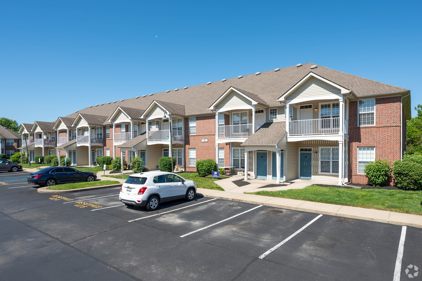
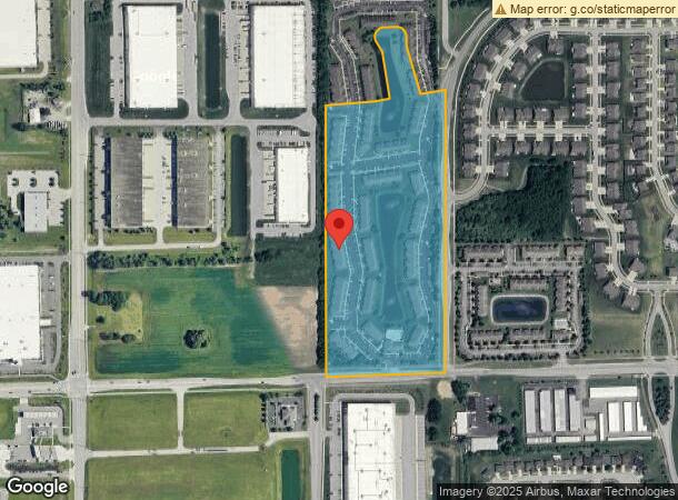
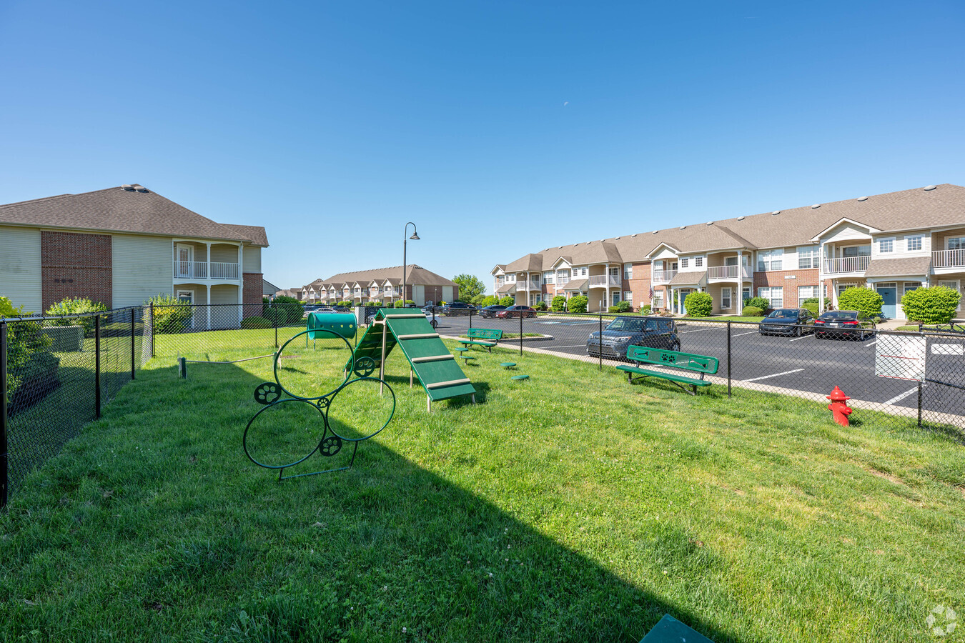
Property Record
2400 E Main St, Greenwood, IN 46143
NEARBY LISTINGS FOR SALE OR LEASE
-
-
View all Greenwood listings for sale on LoopNet.com
Property Detail
2400 E Main St
Indianapolis-Carmel-Anderson, IN
Trotters Pointe
41-02-35-024-008.000-030
TROTTERS POINTE SEC 1 LOT 1
Officebuilding
Johnson
X
Indiana
18081C0135D
1
2023
24.77 AC
2024
Southside Indianapolis
610101
Indianapolis
4,970 SF
DEMOGRAPHICS near 2400 E Main St
1 Mile
3 Mile
5 Mile
2024 Total Population
4,423
43,476
129,112
2029 Population
4,766
45,326
132,724
Pop Growth 2024-2029
+ 7.75%
+ 4.26%
+ 2.80%
Average Age
37
39
38
2024 Total Households
1,475
17,183
49,486
HH Growth 2024-2029
+ 8.07%
+ 4.52%
+ 2.91%
Median Household Inc
$78,140
$77,760
$74,465
Avg Household Size
3.00
2.50
2.50
2024 Avg HH Vehicles
2.00
2.00
2.00
Median Home Value
$294,444
$207,942
$213,306
Median Year Built
2005
1995
1992
Nearby Places
- Restaurants
- Banks
- Shops
- Fitness
- Groceries
PUBLIC TRANSPORTATION
AIRPORT
Indianapolis International
DRIVE
WALK
Distance
Indianapolis International
39 min
24.2 mi
Freight Ports
Port of Toledo
DRIVE
WALK
Distance
Port of Toledo
283 min
236.1 mi
SALE & LEASE HISTORY
LISTING DATE
SALE/LEASE

Jun 26, 2017
For Sale
Aug 10, 2017
For Sale
Nearby Properties
Address
Land Use
TOTAL SIZE
Lot Size
Zoning
Address
Land Use
TOTAL SIZE
Lot Size
Zoning
31,217 SF
105.06 AC
ZO01
Address
Land Use
TOTAL SIZE
Lot Size
Zoning
10,540 SF
49.19 AC
ZO01
Address
Land Use
TOTAL SIZE
Lot Size
Zoning
581,612 SF
33.53 AC
Address
Land Use
TOTAL SIZE
Lot Size
Zoning
615,440 SF
78.64 AC
Address
Land Use
TOTAL SIZE
Lot Size
Zoning
670,880 SF
43.43 AC
Address
Land Use
TOTAL SIZE
Lot Size
Zoning
799,575 SF
37.56 AC
Address
Land Use
TOTAL SIZE
Lot Size
Zoning
420,084 SF
23.83 AC
Address
Land Use
TOTAL SIZE
Lot Size
Zoning
446,500 SF
45.43 AC
Address
Land Use
TOTAL SIZE
Lot Size
Zoning
5,576 SF
14.15 AC
ZO01
Address
Land Use
TOTAL SIZE
Lot Size
Zoning
667,500 SF
33.46 AC
Address
Land Use
TOTAL SIZE
Lot Size
Zoning
493,560 SF
31.39 AC
Address
Land Use
TOTAL SIZE
Lot Size
Zoning
511,680 SF
37.57 AC
Address
Land Use
TOTAL SIZE
Lot Size
Zoning
81,996 SF
8.56 AC
Address
Land Use
TOTAL SIZE
Lot Size
Zoning
21.94 AC
ZO01
Address
Land Use
TOTAL SIZE
Lot Size
Zoning
470,000 SF
22.75 AC
Address
Land Use
TOTAL SIZE
Lot Size
Zoning
1,968 SF
37.45 AC
Address
Land Use
TOTAL SIZE
Lot Size
Zoning
181,458 SF
6 AC
Address
Land Use
TOTAL SIZE
Lot Size
Zoning
273,000 SF
22.28 AC
Address
Land Use
TOTAL SIZE
Lot Size
Zoning
612,000 SF
31.01 AC
Address
Land Use
TOTAL SIZE
Lot Size
Zoning
23.40 AC
Address
Land Use
TOTAL SIZE
Lot Size
Zoning
4,027 SF
24.71 AC
Address
Land Use
TOTAL SIZE
Lot Size
Zoning
4,722 SF
25.70 AC
Address
Land Use
TOTAL SIZE
Lot Size
Zoning
2,480 SF
14.45 AC
Address
Land Use
TOTAL SIZE
Lot Size
Zoning
155,088 SF
20.85 AC
ZO01
Address
Land Use
TOTAL SIZE
Lot Size
Zoning
9,704 SF
9.17 AC
Address
Land Use
TOTAL SIZE
Lot Size
Zoning
146,716 SF
25.43 AC
Address
Land Use
TOTAL SIZE
Lot Size
Zoning
241,800 SF
16.19 AC
Address
Land Use
TOTAL SIZE
Lot Size
Zoning
232,156 SF
23.19 AC
Address
Land Use
TOTAL SIZE
Lot Size
Zoning
99,178 SF
18.04 AC
The World's #1 Commercial Real Estate Marketplace
Connect with us
© 2025 CoStar Group
The information above has been obtained from sources believed reliable. While we do not doubt its accuracy we have not verified it and make no guarantee, warranty or representation about it. It is your responsibility to independently confirm its accuracy and completeness. Any projections, opinions, assumptions, or estimates used are for example only and do not represent the current or future performance of the property. The value of this transaction to you depends on tax and other factors which should be evaluated by your tax, financial, and legal advisors. You and your advisors should conduct a careful, independent investigation of the property to determine to your satisfaction the suitability of the property for your needs.