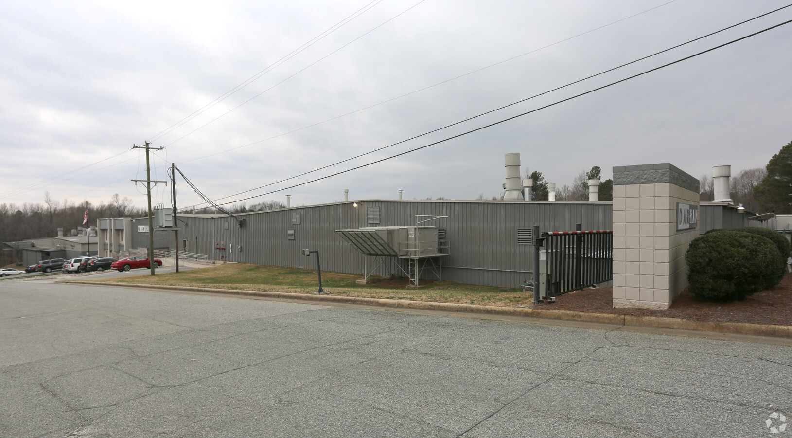
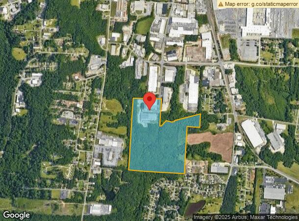
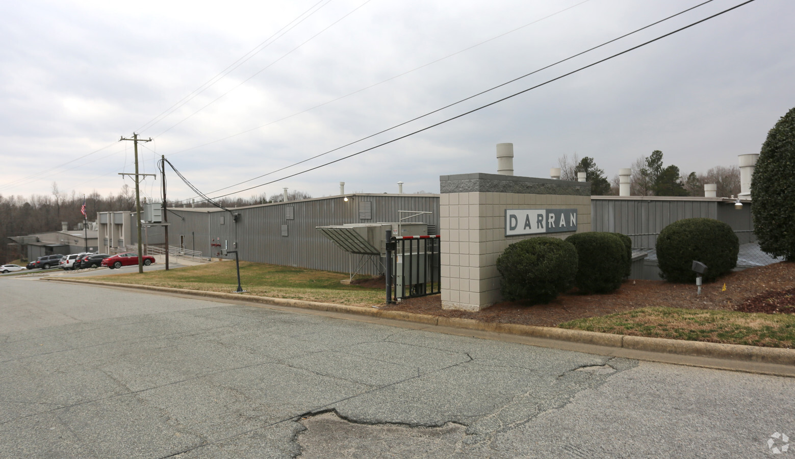
Property Record
2402 Shore St, High Point, NC 27263
NEARBY LISTINGS FOR SALE OR LEASE
Property Detail
2402 Shore St
7708-28-5021
Shore St
Officebuilding
SHORE ST;S
X
Randolph
3710770800J
North Carolina
2024
55.54 AC
2024
NW Randolph Cnty/Archdale
031601
Greensboro/Winston-Salem
71,644 SF
Greensboro-High Point, NC
DEMOGRAPHICS near 2402 Shore St
1 Mile
3 Mile
5 Mile
2024 Total Population
1,902
30,974
95,349
2029 Population
1,993
31,585
97,655
Pop Growth 2024-2029
+ 4.78%
+ 1.97%
+ 2.42%
Average Age
41
39
39
2024 Total Households
773
12,442
36,262
HH Growth 2024-2029
+ 4.53%
+ 1.99%
+ 2.51%
Median Household Inc
$55,254
$44,697
$48,667
Avg Household Size
2.30
2.40
2.40
2024 Avg HH Vehicles
2.00
2.00
2.00
Median Home Value
$178,341
$127,433
$153,112
Median Year Built
1979
1972
1972
Nearby Places
- Restaurants
- Banks
- Shops
- Fitness
- Groceries
PUBLIC TRANSPORTATION
COMMUTER RAIL
High Point Station (Piedmont - North Carolina by Train (NC Train))
DRIVE
WALK
Distance
High Point Station (Piedmont - North Carolina by Train (NC Train))
10 min
4.4 mi
AIRPORT
Piedmont Triad International
DRIVE
WALK
Distance
Piedmont Triad International
33 min
16.5 mi
Freight Ports
Port of Wilmington
DRIVE
WALK
Distance
Port of Wilmington
253 min
210.0 mi
Nearby Properties
Address
Land Use
TOTAL SIZE
Lot Size
Zoning
Address
Land Use
TOTAL SIZE
Lot Size
Zoning
1,277,656 SF
2.47 AC
CB
Address
Land Use
TOTAL SIZE
Lot Size
Zoning
464,134 SF
11.28 AC
PI
Address
Land Use
TOTAL SIZE
Lot Size
Zoning
796,121 SF
9.36 AC
CB
Address
Land Use
TOTAL SIZE
Lot Size
Zoning
802,214 SF
0.01 AC
CB
Address
Land Use
TOTAL SIZE
Lot Size
Zoning
457,534 SF
2.13 AC
CB
Address
Land Use
TOTAL SIZE
Lot Size
Zoning
104,686 SF
12.97 AC
GB
Address
Land Use
TOTAL SIZE
Lot Size
Zoning
322,779 SF
0.88 AC
CB
Address
Land Use
TOTAL SIZE
Lot Size
Zoning
7,898 SF
68.51 AC
M2
Address
Land Use
TOTAL SIZE
Lot Size
Zoning
355,633 SF
63.42 AC
HI
Address
Land Use
TOTAL SIZE
Lot Size
Zoning
297,676 SF
0.48 AC
CB
Address
Land Use
TOTAL SIZE
Lot Size
Zoning
319,603 SF
1.34 AC
CB
Address
Land Use
TOTAL SIZE
Lot Size
Zoning
196,353 SF
13.76 AC
RC
Address
Land Use
TOTAL SIZE
Lot Size
Zoning
369,312 SF
0.75 AC
CB
Address
Land Use
TOTAL SIZE
Lot Size
Zoning
351,736 SF
34.77 AC
HI
Address
Land Use
TOTAL SIZE
Lot Size
Zoning
14,815 SF
4.36 AC
CU-PDM
Address
Land Use
TOTAL SIZE
Lot Size
Zoning
4.56 AC
CU-PDM
Address
Land Use
TOTAL SIZE
Lot Size
Zoning
174,529 SF
2.87 AC
CB
Address
Land Use
TOTAL SIZE
Lot Size
Zoning
81,450 SF
1.38 AC
CB
Address
Land Use
TOTAL SIZE
Lot Size
Zoning
233,398 SF
0.48 AC
CB
Address
Land Use
TOTAL SIZE
Lot Size
Zoning
258,695 SF
0.70 AC
CB
Address
Land Use
TOTAL SIZE
Lot Size
Zoning
286,940 SF
1.97 AC
CB
Address
Land Use
TOTAL SIZE
Lot Size
Zoning
127,800 SF
57.35 AC
M1
Address
Land Use
TOTAL SIZE
Lot Size
Zoning
105,676 SF
24.20 AC
R-5
Address
Land Use
TOTAL SIZE
Lot Size
Zoning
128,658 SF
11 AC
PD-P
Address
Land Use
TOTAL SIZE
Lot Size
Zoning
7.87 AC
CU-PDM
Address
Land Use
TOTAL SIZE
Lot Size
Zoning
245,194 SF
23.44 AC
LI
Address
Land Use
TOTAL SIZE
Lot Size
Zoning
225,254 SF
0.45 AC
CB
Address
Land Use
TOTAL SIZE
Lot Size
Zoning
77,506 SF
2.62 AC
CB
Address
Land Use
TOTAL SIZE
Lot Size
Zoning
107,417 SF
6.46 AC
CU-RM-8
Address
Land Use
TOTAL SIZE
Lot Size
Zoning
101,612 SF
15.82 AC
CU-RM-8
The World's #1 Commercial Real Estate Marketplace
Connect with us
© 2025 CoStar Group
The information above has been obtained from sources believed reliable. While we do not doubt its accuracy we have not verified it and make no guarantee, warranty or representation about it. It is your responsibility to independently confirm its accuracy and completeness. Any projections, opinions, assumptions, or estimates used are for example only and do not represent the current or future performance of the property. The value of this transaction to you depends on tax and other factors which should be evaluated by your tax, financial, and legal advisors. You and your advisors should conduct a careful, independent investigation of the property to determine to your satisfaction the suitability of the property for your needs.