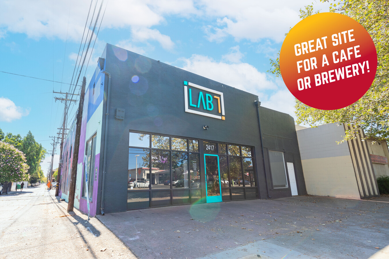
Property Record
2417 21St St, Sacramento, CA 95818


NEARBY LISTINGS FOR SALE OR LEASE
Property Detail
2417 21St St
Sacramento--Roseville--Arden-Arcade, CA
Los Alamitos
010-0221-020
LOS ALAMITOS, LOT 6517
Officebuilding
Sacramento
X
California
06067C0190H
6517
2023
0.14 AC
2024
South Sacramento
001900
Sacramento
2,650 SF
DEMOGRAPHICS near 2417 21St St
1 Mile
3 Mile
5 Mile
2024 Total Population
28,350
160,614
407,972
2029 Population
28,766
162,806
412,445
Pop Growth 2024-2029
+ 1.47%
+ 1.36%
+ 1.10%
Average Age
39
39
38
2024 Total Households
14,826
69,993
159,846
HH Growth 2024-2029
+ 1.66%
+ 1.57%
+ 1.23%
Median Household Inc
$77,095
$78,052
$68,165
Avg Household Size
1.80
2.10
2.40
2024 Avg HH Vehicles
1.00
2.00
2.00
Median Home Value
$697,507
$615,886
$465,572
Median Year Built
1953
1955
1968
Nearby Places
- Restaurants
- Banks
- Shops
- Fitness
- Groceries
PUBLIC TRANSPORTATION
TRANSIT/SUBWAY
Broadway (Blue Line - Sacramento Regional Transit District Light Rail (The RT))
DRIVE
WALK
Distance
Broadway (Blue Line - Sacramento Regional Transit District Light Rail (The RT))
0 min
4 min
0.2 mi
4Th Ave./Wayne Hultgren (Blue Line - Sacramento Regional Transit District Light Rail (The RT))
DRIVE
WALK
Distance
4Th Ave./Wayne Hultgren (Blue Line - Sacramento Regional Transit District Light Rail (The RT))
1 min
13 min
0.7 mi
23Rd Street (Gold Line - Sacramento Regional Transit District Light Rail (The RT))
DRIVE
WALK
Distance
23Rd Street (Gold Line - Sacramento Regional Transit District Light Rail (The RT))
2 min
13 min
0.7 mi
16Th Street (Blue Line - Sacramento Regional Transit District Light Rail (The RT), Gold Line - Sacramento Regional Transit District Light Rail (The RT))
DRIVE
WALK
Distance
16Th Street (Blue Line - Sacramento Regional Transit District Light Rail (The RT), Gold Line - Sacramento Regional Transit District Light Rail (The RT))
2 min
19 min
1.0 mi
29Th Street (Gold Line - Sacramento Regional Transit District Light Rail (The RT))
DRIVE
WALK
Distance
29Th Street (Gold Line - Sacramento Regional Transit District Light Rail (The RT))
4 min
20 min
1.0 mi
AIRPORT
Sacramento International
DRIVE
WALK
Distance
Sacramento International
20 min
13.3 mi
Freight Ports
Port of Stockton
DRIVE
WALK
Distance
Port of Stockton
55 min
46.0 mi
SALE & LEASE HISTORY
LISTING DATE
SALE/LEASE

Jan 04, 2019
For Lease
Aug 16, 2024
For Lease
Nearby Properties
Address
Land Use
TOTAL SIZE
Lot Size
Zoning
Address
Land Use
TOTAL SIZE
Lot Size
Zoning
1,095,507 SF
1.39 AC
C-2-SPD H-
Address
Land Use
TOTAL SIZE
Lot Size
Zoning
5.64 AC
C-3-SPD
Address
Land Use
TOTAL SIZE
Lot Size
Zoning
10.28 AC
H
Address
Land Use
TOTAL SIZE
Lot Size
Zoning
299,943 SF
4.94 AC
H
Address
Land Use
TOTAL SIZE
Lot Size
Zoning
487,483 SF
1.12 AC
C-3-SPD
Address
Land Use
TOTAL SIZE
Lot Size
Zoning
594,942 SF
2.39 AC
C-3-SPD
Address
Land Use
TOTAL SIZE
Lot Size
Zoning
1,095,507 SF
1.39 AC
C-2-SPD H-
Address
Land Use
TOTAL SIZE
Lot Size
Zoning
405,074 SF
2.39 AC
C-3-SPD
Address
Land Use
TOTAL SIZE
Lot Size
Zoning
399,626 SF
2.41 AC
C-3-SPD
Address
Land Use
TOTAL SIZE
Lot Size
Zoning
200,616 SF
2.54 AC
C-2-SPD
Address
Land Use
TOTAL SIZE
Lot Size
Zoning
366,730 SF
0.89 AC
C-3-SPD
Address
Land Use
TOTAL SIZE
Lot Size
Zoning
676,447 SF
1.43 AC
C-3-SPD
Address
Land Use
TOTAL SIZE
Lot Size
Zoning
508,916 SF
0.71 AC
C-3-SPD
Address
Land Use
TOTAL SIZE
Lot Size
Zoning
320,072 SF
2.65 AC
C-2
Address
Land Use
TOTAL SIZE
Lot Size
Zoning
339,329 SF
6.40 AC
R-5-PUD-SP
Address
Land Use
TOTAL SIZE
Lot Size
Zoning
193,521 SF
0.60 AC
C-3-SPD
Address
Land Use
TOTAL SIZE
Lot Size
Zoning
0.65 AC
C-4-SPD
Address
Land Use
TOTAL SIZE
Lot Size
Zoning
410,420 SF
0.95 AC
C-3-SPD
Address
Land Use
TOTAL SIZE
Lot Size
Zoning
213,557 SF
2.33 AC
C-3-SPD
Address
Land Use
TOTAL SIZE
Lot Size
Zoning
240,548 SF
0.86 AC
C-3-SPD
Address
Land Use
TOTAL SIZE
Lot Size
Zoning
401,025 SF
4.59 AC
W-F
Address
Land Use
TOTAL SIZE
Lot Size
Zoning
0.90 AC
C-3-SPD
Address
Land Use
TOTAL SIZE
Lot Size
Zoning
119,055 SF
1.18 AC
C-2-SPD
Address
Land Use
TOTAL SIZE
Lot Size
Zoning
R-4-PUD C-
Address
Land Use
TOTAL SIZE
Lot Size
Zoning
7.49 AC
WF
Address
Land Use
TOTAL SIZE
Lot Size
Zoning
26,712 SF
1.85 AC
R-5-PUD-SP
Address
Land Use
TOTAL SIZE
Lot Size
Zoning
26,712 SF
1.90 AC
R-5-PUD-SP
Address
Land Use
TOTAL SIZE
Lot Size
Zoning
246,417 SF
1.19 AC
C-3-SPD
Address
Land Use
TOTAL SIZE
Lot Size
Zoning
368,262 SF
0.72 AC
C-3-SPD
Address
Land Use
TOTAL SIZE
Lot Size
Zoning
576,291 SF
C-3-SPD
The World's #1 Commercial Real Estate Marketplace
Connect with us
© 2025 CoStar Group
The information above has been obtained from sources believed reliable. While we do not doubt its accuracy we have not verified it and make no guarantee, warranty or representation about it. It is your responsibility to independently confirm its accuracy and completeness. Any projections, opinions, assumptions, or estimates used are for example only and do not represent the current or future performance of the property. The value of this transaction to you depends on tax and other factors which should be evaluated by your tax, financial, and legal advisors. You and your advisors should conduct a careful, independent investigation of the property to determine to your satisfaction the suitability of the property for your needs.