Property Record
23 W 23 St W, Erie, PA 16511
Current Lease Availabilities
NEARBY LISTINGS FOR SALE OR LEASE
-
-
View all Erie listings for lease on LoopNet.com
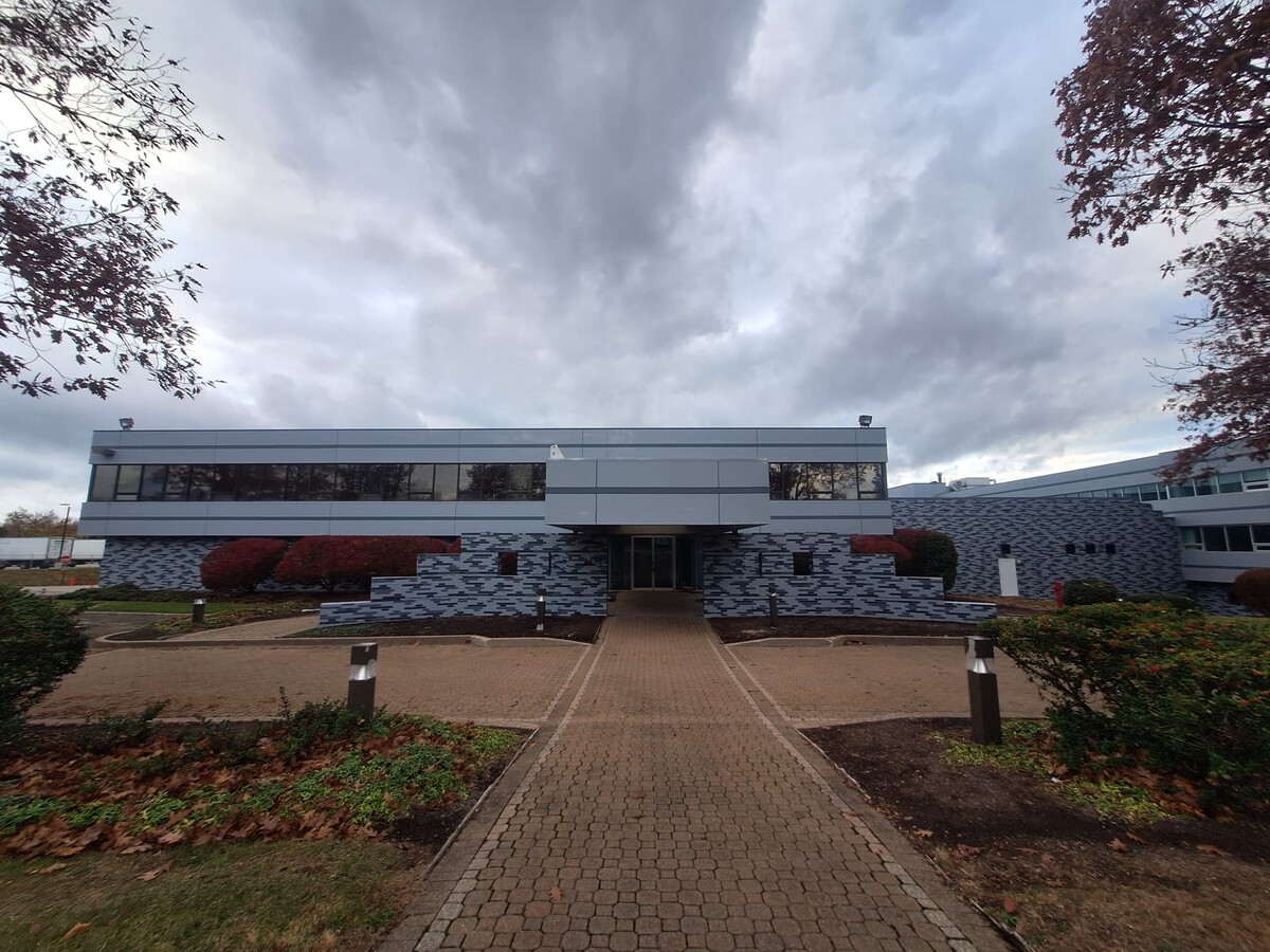
Property Detail
23 W 23 St W
33-049-194.0-032.00
W 23 ST 30 X 970
Commercialnec
Erie
X
Pennsylvania
42049C0182E
0.67 AC
2024
Outlying Erie County
2024
Erie
011400
Erie, PA
DEMOGRAPHICS near 23 W 23 St W
1 Mile
3 Mile
5 Mile
2024 Total Population
7,507
76,860
136,330
2029 Population
7,437
76,146
134,923
Pop Growth 2024-2029
(0.93%)
(0.93%)
(1.03%)
Average Age
43
41
41
2024 Total Households
3,393
33,740
57,191
HH Growth 2024-2029
(1.09%)
(1.00%)
(1.11%)
Median Household Inc
$60,439
$54,973
$51,718
Avg Household Size
2.20
2.20
2.20
2024 Avg HH Vehicles
2.00
1.00
1.00
Median Home Value
$135,265
$143,355
$143,118
Median Year Built
1957
1957
1957
Nearby Places
- Restaurants
- Banks
- Shops
- Fitness
- Groceries
PUBLIC TRANSPORTATION
COMMUTER RAIL
Erie Amtrak Station (Lake Shore Limited - Amtrak)
DRIVE
WALK
Distance
Erie Amtrak Station (Lake Shore Limited - Amtrak)
12 min
5.0 mi
AIRPORT
Erie International/Tom Ridge Field
DRIVE
WALK
Distance
Erie International/Tom Ridge Field
22 min
10.7 mi
Freight Ports
Port of Toledo
DRIVE
WALK
Distance
Port of Toledo
263 min
220.2 mi
Nearby Properties
Address
Land Use
TOTAL SIZE
Lot Size
Zoning
Address
Land Use
TOTAL SIZE
Lot Size
Zoning
227,630 SF
343.90 AC
I1
Address
Land Use
TOTAL SIZE
Lot Size
Zoning
92,635 SF
8.45 AC
B1
Address
Land Use
TOTAL SIZE
Lot Size
Zoning
23.31 AC
C1
Address
Land Use
TOTAL SIZE
Lot Size
Zoning
18.55 AC
M1
Address
Land Use
TOTAL SIZE
Lot Size
Zoning
189,305 SF
42.45 AC
B1
Address
Land Use
TOTAL SIZE
Lot Size
Zoning
9.38 AC
C1
Address
Land Use
TOTAL SIZE
Lot Size
Zoning
121,197 SF
7.58 AC
Address
Land Use
TOTAL SIZE
Lot Size
Zoning
39,572 SF
6.40 AC
RLB
Address
Land Use
TOTAL SIZE
Lot Size
Zoning
62.79 AC
R2B
Address
Land Use
TOTAL SIZE
Lot Size
Zoning
77,126 SF
8.85 AC
C1
Address
Land Use
TOTAL SIZE
Lot Size
Zoning
41,976 SF
6.50 AC
R2A
Address
Land Use
TOTAL SIZE
Lot Size
Zoning
4.76 AC
R3
Address
Land Use
TOTAL SIZE
Lot Size
Zoning
13,620 SF
1.21 AC
B1
Address
Land Use
TOTAL SIZE
Lot Size
Zoning
21,451 SF
13.98 AC
Address
Land Use
TOTAL SIZE
Lot Size
Zoning
89,520 SF
16.38 AC
R3
Address
Land Use
TOTAL SIZE
Lot Size
Zoning
68,102 SF
26.69 AC
M1
Address
Land Use
TOTAL SIZE
Lot Size
Zoning
3.60 AC
R1
Address
Land Use
TOTAL SIZE
Lot Size
Zoning
75,487 SF
7.32 AC
R3
Address
Land Use
TOTAL SIZE
Lot Size
Zoning
70,022 SF
9.07 AC
B1
Address
Land Use
TOTAL SIZE
Lot Size
Zoning
66,381 SF
1.90 AC
R1
Address
Land Use
TOTAL SIZE
Lot Size
Zoning
51.13 AC
R2A
Address
Land Use
TOTAL SIZE
Lot Size
Zoning
37,926 SF
52.49 AC
R2A
Address
Land Use
TOTAL SIZE
Lot Size
Zoning
112,086 SF
9.50 AC
M2
Address
Land Use
TOTAL SIZE
Lot Size
Zoning
10.50 AC
R2A
Address
Land Use
TOTAL SIZE
Lot Size
Zoning
46,032 SF
2.13 AC
R3
Address
Land Use
TOTAL SIZE
Lot Size
Zoning
148,072 SF
13.90 AC
R2B
Address
Land Use
TOTAL SIZE
Lot Size
Zoning
30,144 SF
3.03 AC
I
Address
Land Use
TOTAL SIZE
Lot Size
Zoning
29,376 SF
4.15 AC
R3
Address
Land Use
TOTAL SIZE
Lot Size
Zoning
48,432 SF
6.71 AC
R3
Address
Land Use
TOTAL SIZE
Lot Size
Zoning
273,835 SF
23.05 AC
R1
The World's #1 Commercial Real Estate Marketplace
Connect with us
© 2025 CoStar Group
The information above has been obtained from sources believed reliable. While we do not doubt its accuracy we have not verified it and make no guarantee, warranty or representation about it. It is your responsibility to independently confirm its accuracy and completeness. Any projections, opinions, assumptions, or estimates used are for example only and do not represent the current or future performance of the property. The value of this transaction to you depends on tax and other factors which should be evaluated by your tax, financial, and legal advisors. You and your advisors should conduct a careful, independent investigation of the property to determine to your satisfaction the suitability of the property for your needs.