Property Record
2465 E High Ave, New Philadelphia, OH 44663
NEARBY LISTINGS FOR SALE OR LEASE
-
-
View all New Philadelphia listings for sale on LoopNet.com
Property Detail
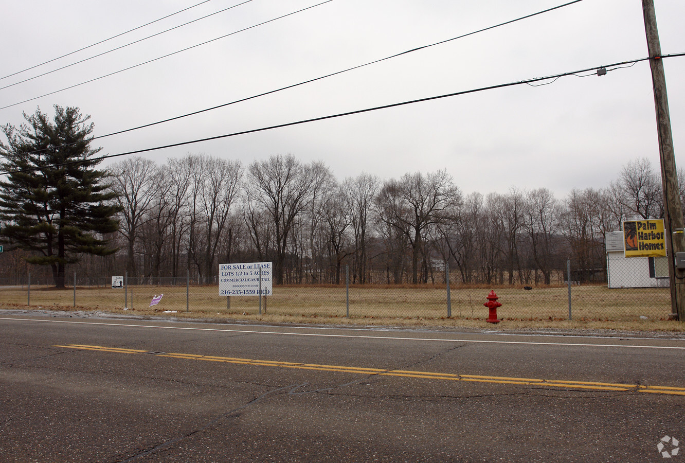
2465 E High Ave
2502475001
Schoenbrunn Tract
Commercialnec
SCHOENB PR 12 .58A
X
Tuscarawas
39157C0260D
Ohio
2024
2 AC
2023
Ohio North Area
021501
Other Market Areas
4,820 SF
New Philadelphia-Dover, OH
DEMOGRAPHICS near 2465 E High Ave
1 Mile
3 Mile
5 Mile
2024 Total Population
1,436
11,739
29,895
2029 Population
1,416
11,584
29,583
Pop Growth 2024-2029
(1.39%)
(1.32%)
(1.04%)
Average Age
45
43
42
2024 Total Households
582
4,918
12,658
HH Growth 2024-2029
(1.37%)
(1.40%)
(1.11%)
Median Household Inc
$60,789
$54,425
$52,068
Avg Household Size
2.30
2.30
2.30
2024 Avg HH Vehicles
2.00
2.00
2.00
Median Home Value
$191,575
$158,586
$153,474
Median Year Built
1973
1972
1967
Nearby Places
- Restaurants
- Banks
- Shops
- Fitness
- Groceries
SALE & LEASE HISTORY
LISTING DATE
SALE/LEASE

Mar 31, 2017
For Sale
Nearby Properties
Address
Land Use
TOTAL SIZE
Lot Size
Zoning
Address
Land Use
TOTAL SIZE
Lot Size
Zoning
22,352 SF
124.11 AC
Address
Land Use
TOTAL SIZE
Lot Size
Zoning
25,492 SF
26.13 AC
Address
Land Use
TOTAL SIZE
Lot Size
Zoning
226,421 SF
39.33 AC
Address
Land Use
TOTAL SIZE
Lot Size
Zoning
8,640 SF
50 AC
Address
Land Use
TOTAL SIZE
Lot Size
Zoning
72,040 SF
62.83 AC
Address
Land Use
TOTAL SIZE
Lot Size
Zoning
2,120 SF
11.82 AC
Address
Land Use
TOTAL SIZE
Lot Size
Zoning
39,886 SF
8.62 AC
Address
Land Use
TOTAL SIZE
Lot Size
Zoning
1 SF
16.86 AC
Address
Land Use
TOTAL SIZE
Lot Size
Zoning
Address
Land Use
TOTAL SIZE
Lot Size
Zoning
32,928 SF
1.12 AC
Address
Land Use
TOTAL SIZE
Lot Size
Zoning
14,742 SF
6.14 AC
Address
Land Use
TOTAL SIZE
Lot Size
Zoning
80,676 SF
12.28 AC
Address
Land Use
TOTAL SIZE
Lot Size
Zoning
96,882 SF
43.42 AC
Address
Land Use
TOTAL SIZE
Lot Size
Zoning
Address
Land Use
TOTAL SIZE
Lot Size
Zoning
1 SF
13.92 AC
Address
Land Use
TOTAL SIZE
Lot Size
Zoning
2,025 SF
13.93 AC
Address
Land Use
TOTAL SIZE
Lot Size
Zoning
41,312 SF
3.40 AC
Address
Land Use
TOTAL SIZE
Lot Size
Zoning
50,400 SF
3.58 AC
Address
Land Use
TOTAL SIZE
Lot Size
Zoning
101,680 SF
9.66 AC
Address
Land Use
TOTAL SIZE
Lot Size
Zoning
2,612 SF
75.04 AC
Address
Land Use
TOTAL SIZE
Lot Size
Zoning
2,036 SF
1.25 AC
Address
Land Use
TOTAL SIZE
Lot Size
Zoning
3,456 SF
1.61 AC
Address
Land Use
TOTAL SIZE
Lot Size
Zoning
122,132 SF
10.04 AC
Address
Land Use
TOTAL SIZE
Lot Size
Zoning
1 SF
14.17 AC
Address
Land Use
TOTAL SIZE
Lot Size
Zoning
Address
Land Use
TOTAL SIZE
Lot Size
Zoning
Address
Land Use
TOTAL SIZE
Lot Size
Zoning
Address
Land Use
TOTAL SIZE
Lot Size
Zoning
20,000 SF
7.02 AC
Address
Land Use
TOTAL SIZE
Lot Size
Zoning
11,405 SF
4.90 AC
Address
Land Use
TOTAL SIZE
Lot Size
Zoning
33,512 SF
9.66 AC
The World's #1 Commercial Real Estate Marketplace
Connect with us
© 2025 CoStar Group
The information above has been obtained from sources believed reliable. While we do not doubt its accuracy we have not verified it and make no guarantee, warranty or representation about it. It is your responsibility to independently confirm its accuracy and completeness. Any projections, opinions, assumptions, or estimates used are for example only and do not represent the current or future performance of the property. The value of this transaction to you depends on tax and other factors which should be evaluated by your tax, financial, and legal advisors. You and your advisors should conduct a careful, independent investigation of the property to determine to your satisfaction the suitability of the property for your needs.