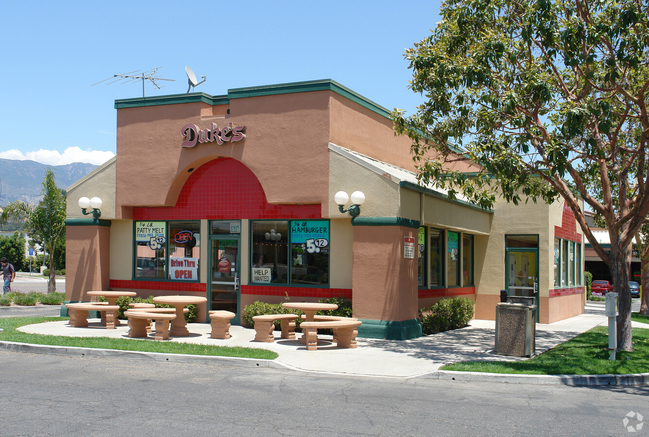
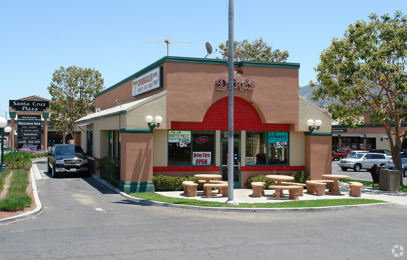
Property Record
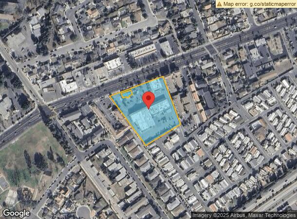
248 W Harvard Blvd, Santa Paula, CA 93060
NEARBY LISTINGS FOR SALE OR LEASE
Property Detail
248 W Harvard Blvd
105-0-151-245
Santa Cruz Plaza
Storebuilding
PR APN 1050151205
A99
Ventura
06111C0777F
California
2024
2.65 AC
2024
Santa Paula/Somis
000701
Los Angeles
1,254 SF
Oxnard-Thousand Oaks-Ventura, CA
DEMOGRAPHICS near 248 W Harvard Blvd
1 Mile
3 Mile
5 Mile
2024 Total Population
17,900
32,525
34,133
2029 Population
17,662
32,297
33,928
Pop Growth 2024-2029
(1.33%)
(0.70%)
(0.60%)
Average Age
37
38
38
2024 Total Households
5,158
9,470
9,937
HH Growth 2024-2029
(1.47%)
(0.78%)
(0.68%)
Median Household Inc
$67,898
$71,894
$72,624
Avg Household Size
3.40
3.40
3.40
2024 Avg HH Vehicles
2.00
2.00
2.00
Median Home Value
$455,696
$505,563
$514,468
Median Year Built
1967
1967
1967
Nearby Places
- Restaurants
- Banks
- Shops
- Fitness
- Groceries
Nearby Properties
Address
Land Use
TOTAL SIZE
Lot Size
Zoning
Address
Land Use
TOTAL SIZE
Lot Size
Zoning
12,253 SF
16.59 AC
Address
Land Use
TOTAL SIZE
Lot Size
Zoning
Address
Land Use
TOTAL SIZE
Lot Size
Zoning
87,287 SF
5.86 AC
Address
Land Use
TOTAL SIZE
Lot Size
Zoning
Address
Land Use
TOTAL SIZE
Lot Size
Zoning
6,200 SF
18.34 AC
M3
Address
Land Use
TOTAL SIZE
Lot Size
Zoning
479,160 SF
11.28 AC
AE
Address
Land Use
TOTAL SIZE
Lot Size
Zoning
105,773 SF
3.70 AC
M1
Address
Land Use
TOTAL SIZE
Lot Size
Zoning
41,050 SF
3.32 AC
MULT
Address
Land Use
TOTAL SIZE
Lot Size
Zoning
84,194 SF
7.88 AC
M1PD
Address
Land Use
TOTAL SIZE
Lot Size
Zoning
11.01 AC
M2
Address
Land Use
TOTAL SIZE
Lot Size
Zoning
19,527 SF
29.36 AC
AE
Address
Land Use
TOTAL SIZE
Lot Size
Zoning
64,759 SF
4.01 AC
Address
Land Use
TOTAL SIZE
Lot Size
Zoning
24,660 SF
1.64 AC
Address
Land Use
TOTAL SIZE
Lot Size
Zoning
31,852 SF
2.46 AC
C1PD
Address
Land Use
TOTAL SIZE
Lot Size
Zoning
Address
Land Use
TOTAL SIZE
Lot Size
Zoning
36,096 SF
5.74 AC
M1L
Address
Land Use
TOTAL SIZE
Lot Size
Zoning
23,591 SF
0.94 AC
Address
Land Use
TOTAL SIZE
Lot Size
Zoning
26,228 SF
1.08 AC
Address
Land Use
TOTAL SIZE
Lot Size
Zoning
13.59 AC
AEA-E/
Address
Land Use
TOTAL SIZE
Lot Size
Zoning
1,438 SF
51.64 AC
AE
Address
Land Use
TOTAL SIZE
Lot Size
Zoning
21,406 SF
6.01 AC
M1L
Address
Land Use
TOTAL SIZE
Lot Size
Zoning
66,439 SF
3.50 AC
Address
Land Use
TOTAL SIZE
Lot Size
Zoning
11.58 AC
AE
Address
Land Use
TOTAL SIZE
Lot Size
Zoning
18,338 SF
0.96 AC
C2
Address
Land Use
TOTAL SIZE
Lot Size
Zoning
13,210 SF
2.80 AC
M1L
Address
Land Use
TOTAL SIZE
Lot Size
Zoning
49,552 SF
4.93 AC
Address
Land Use
TOTAL SIZE
Lot Size
Zoning
1.95 AC
RA
Address
Land Use
TOTAL SIZE
Lot Size
Zoning
36,278 SF
8.68 AC
M-1
The World's #1 Commercial Real Estate Marketplace
Connect with us
© 2025 CoStar Group
The information above has been obtained from sources believed reliable. While we do not doubt its accuracy we have not verified it and make no guarantee, warranty or representation about it. It is your responsibility to independently confirm its accuracy and completeness. Any projections, opinions, assumptions, or estimates used are for example only and do not represent the current or future performance of the property. The value of this transaction to you depends on tax and other factors which should be evaluated by your tax, financial, and legal advisors. You and your advisors should conduct a careful, independent investigation of the property to determine to your satisfaction the suitability of the property for your needs.