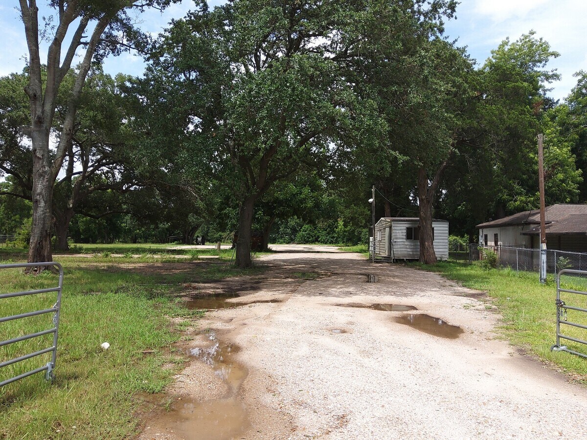
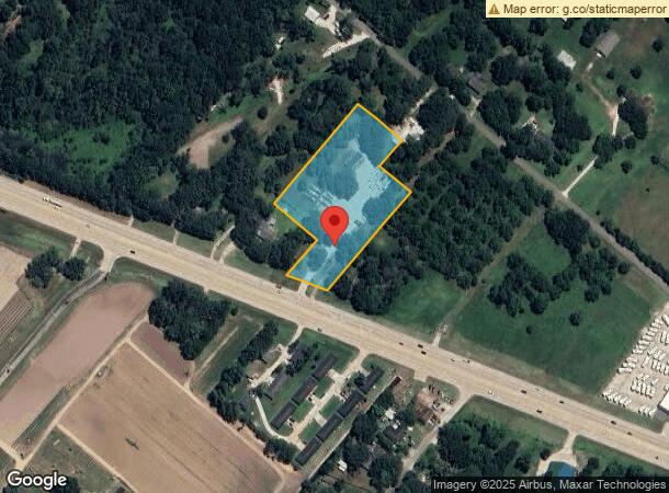
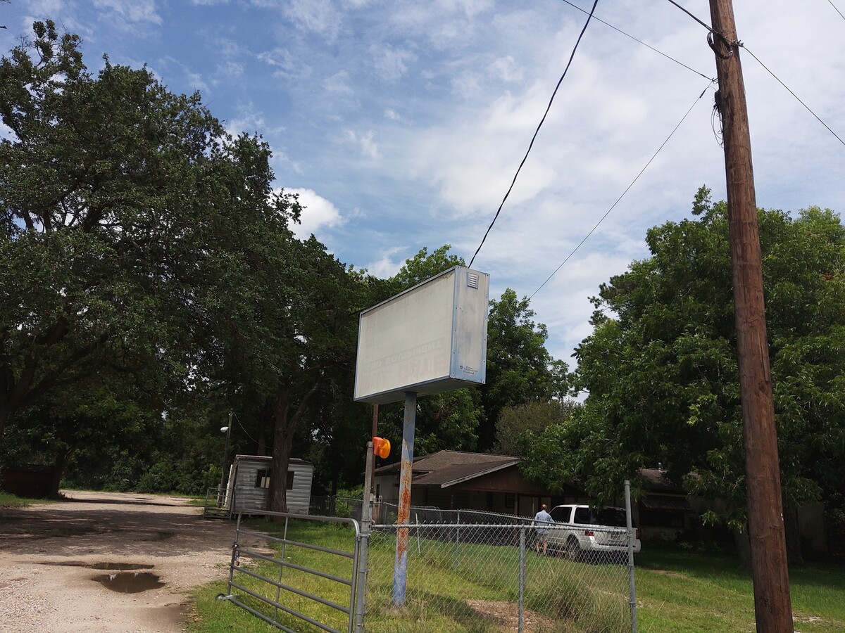
Property Record
24801 W Highway 6, Alvin, TX 77511
NEARBY LISTINGS FOR SALE OR LEASE
Property Detail
24801 W Highway 6
Houston-The Woodlands-Sugar Land, TX
A C H & B
0471-0041-000
Brazoria
Mobilemanufacturedhomeregardlessoflandownership
Texas
AE
2.81 AC
48039C0135K
South
896 SF
Houston
DEMOGRAPHICS near 24801 W Highway 6
1 Mile
3 Mile
5 Mile
2024 Total Population
1,140
27,073
50,662
2029 Population
1,282
30,297
56,279
Pop Growth 2024-2029
+ 12.46%
+ 11.91%
+ 11.09%
Average Age
40
38
38
2024 Total Households
392
9,395
17,735
HH Growth 2024-2029
+ 12.50%
+ 12.03%
+ 11.24%
Median Household Inc
$76,786
$68,335
$67,954
Avg Household Size
2.80
2.80
2.80
2024 Avg HH Vehicles
2.00
2.00
2.00
Median Home Value
$299,090
$200,469
$211,217
Median Year Built
1991
1989
1987
Nearby Places
- Restaurants
- Banks
- Shops
- Fitness
- Groceries
PUBLIC TRANSPORTATION
AIRPORT
William P Hobby
DRIVE
WALK
Distance
William P Hobby
33 min
18.5 mi
Freight Ports
Port of Houston
DRIVE
WALK
Distance
Port of Houston
45 min
26.7 mi
SALE & LEASE HISTORY
LISTING DATE
SALE/LEASE

Nov 06, 2024
For Lease
Nov 06, 2024
For Sale
Jul 18, 2020
For Sale
Nearby Properties
Address
Land Use
TOTAL SIZE
Lot Size
Zoning
Address
Land Use
TOTAL SIZE
Lot Size
Zoning
39.21 AC
0113
Address
Land Use
TOTAL SIZE
Lot Size
Zoning
197,506 SF
20.52 AC
Address
Land Use
TOTAL SIZE
Lot Size
Zoning
100,453 SF
6.02 AC
Address
Land Use
TOTAL SIZE
Lot Size
Zoning
68,435 SF
5.62 AC
0041
Address
Land Use
TOTAL SIZE
Lot Size
Zoning
41,510 SF
20.52 AC
Address
Land Use
TOTAL SIZE
Lot Size
Zoning
136,700 SF
9.91 AC
0095
Address
Land Use
TOTAL SIZE
Lot Size
Zoning
147,939 SF
38.81 AC
0026
Address
Land Use
TOTAL SIZE
Lot Size
Zoning
9.62 AC
Address
Land Use
TOTAL SIZE
Lot Size
Zoning
63,530 SF
8.89 AC
0022
Address
Land Use
TOTAL SIZE
Lot Size
Zoning
63,250 SF
6.51 AC
0101
Address
Land Use
TOTAL SIZE
Lot Size
Zoning
74,780 SF
5.51 AC
0034
Address
Land Use
TOTAL SIZE
Lot Size
Zoning
36,596 SF
14.75 AC
Address
Land Use
TOTAL SIZE
Lot Size
Zoning
108,807 SF
10.01 AC
0001
Address
Land Use
TOTAL SIZE
Lot Size
Zoning
74,002 SF
9.58 AC
Address
Land Use
TOTAL SIZE
Lot Size
Zoning
22,625 SF
7 AC
Address
Land Use
TOTAL SIZE
Lot Size
Zoning
57.64 AC
0184
Address
Land Use
TOTAL SIZE
Lot Size
Zoning
29.04 AC
0001
Address
Land Use
TOTAL SIZE
Lot Size
Zoning
111,370 SF
11.10 AC
Address
Land Use
TOTAL SIZE
Lot Size
Zoning
44,501 SF
4.15 AC
Address
Land Use
TOTAL SIZE
Lot Size
Zoning
73,815 SF
3.01 AC
151
Address
Land Use
TOTAL SIZE
Lot Size
Zoning
1,739 SF
5.20 AC
Address
Land Use
TOTAL SIZE
Lot Size
Zoning
70.67 AC
Address
Land Use
TOTAL SIZE
Lot Size
Zoning
20,000 SF
7.79 AC
0002
Address
Land Use
TOTAL SIZE
Lot Size
Zoning
145 SF
20.24 AC
0037
Address
Land Use
TOTAL SIZE
Lot Size
Zoning
140 SF
25.06 AC
0008
Address
Land Use
TOTAL SIZE
Lot Size
Zoning
3,504 SF
187.33 AC
0027
Address
Land Use
TOTAL SIZE
Lot Size
Zoning
46,144 SF
2.07 AC
0016
Address
Land Use
TOTAL SIZE
Lot Size
Zoning
1.45 AC
Address
Land Use
TOTAL SIZE
Lot Size
Zoning
44,241 SF
9.69 AC
Address
Land Use
TOTAL SIZE
Lot Size
Zoning
24,832 SF
3.41 AC
The World's #1 Commercial Real Estate Marketplace
Connect with us
© 2025 CoStar Group
The information above has been obtained from sources believed reliable. While we do not doubt its accuracy we have not verified it and make no guarantee, warranty or representation about it. It is your responsibility to independently confirm its accuracy and completeness. Any projections, opinions, assumptions, or estimates used are for example only and do not represent the current or future performance of the property. The value of this transaction to you depends on tax and other factors which should be evaluated by your tax, financial, and legal advisors. You and your advisors should conduct a careful, independent investigation of the property to determine to your satisfaction the suitability of the property for your needs.