Property Record
2500 Far Hills Ave, Oakwood, OH 45419

NEARBY LISTINGS FOR SALE OR LEASE
Property Detail
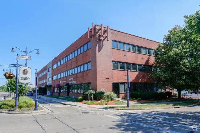
2500 Far Hills Ave
Dayton, OH
City/Oakwood Rev
Q71-01110-0030
3457-58-59 PTS 11-10-31,32
Regionalshoppingcenterormallwithanchorstore
Montgomery
X
Ohio
39113C0258E
30
2024
0.36 AC
2025
South Central Dayton
010200
Cincinnati/Dayton
12,008 SF
DEMOGRAPHICS near 2500 Far Hills Ave
1 Mile
3 Mile
5 Mile
2024 Total Population
12,332
92,042
222,473
2029 Population
12,201
91,249
222,514
Pop Growth 2024-2029
(1.06%)
(0.86%)
+ 0.02%
Average Age
41
39
40
2024 Total Households
5,600
38,737
95,927
HH Growth 2024-2029
(0.70%)
(0.92%)
(0.01%)
Median Household Inc
$86,375
$62,808
$56,080
Avg Household Size
2.20
2.20
2.20
2024 Avg HH Vehicles
2.00
2.00
2.00
Median Home Value
$225,677
$162,187
$157,955
Median Year Built
1952
1954
1958
Nearby Places
Map Layers
Map Styles
 Street
 Aerial
- Restaurants
- Banks
- Shops
- Fitness
- Groceries
PUBLIC TRANSPORTATION
AIRPORT
James M Cox Dayton International
DRIVE
WALK
Distance
James M Cox Dayton International
27 min
16.7 mi
SALE & LEASE HISTORY
LISTING DATE
SALE/LEASE

Sep 24, 2016
For Lease
Nearby Properties
Address
Land Use
TOTAL SIZE
Lot Size
Zoning
Address
Land Use
TOTAL SIZE
Lot Size
Zoning
1,570,433 SF
13.34 AC
Address
Land Use
TOTAL SIZE
Lot Size
Zoning
634,753 SF
54 AC
Address
Land Use
TOTAL SIZE
Lot Size
Zoning
428,925 SF
21.70 AC
Address
Land Use
TOTAL SIZE
Lot Size
Zoning
640,970 SF
94.06 AC
Address
Land Use
TOTAL SIZE
Lot Size
Zoning
414,094 SF
36.48 AC
Address
Land Use
TOTAL SIZE
Lot Size
Zoning
275,808 SF
19.97 AC
Address
Land Use
TOTAL SIZE
Lot Size
Zoning
55.88 AC
Address
Land Use
TOTAL SIZE
Lot Size
Zoning
23,031 SF
63.14 AC
Address
Land Use
TOTAL SIZE
Lot Size
Zoning
424,080 SF
63.14 AC
Address
Land Use
TOTAL SIZE
Lot Size
Zoning
5.41 AC
Address
Land Use
TOTAL SIZE
Lot Size
Zoning
23.35 AC
Address
Land Use
TOTAL SIZE
Lot Size
Zoning
375,053 SF
7.27 AC
Address
Land Use
TOTAL SIZE
Lot Size
Zoning
222,197 SF
1.80 AC
Address
Land Use
TOTAL SIZE
Lot Size
Zoning
3.76 AC
Address
Land Use
TOTAL SIZE
Lot Size
Zoning
45,583 SF
4.91 AC
Address
Land Use
TOTAL SIZE
Lot Size
Zoning
3.27 AC
Address
Land Use
TOTAL SIZE
Lot Size
Zoning
128,859 SF
5.31 AC
Address
Land Use
TOTAL SIZE
Lot Size
Zoning
4.86 AC
Address
Land Use
TOTAL SIZE
Lot Size
Zoning
41.38 AC
Address
Land Use
TOTAL SIZE
Lot Size
Zoning
18.33 AC
Address
Land Use
TOTAL SIZE
Lot Size
Zoning
88,479 SF
4.43 AC
Address
Land Use
TOTAL SIZE
Lot Size
Zoning
69,939 SF
90.27 AC
Address
Land Use
TOTAL SIZE
Lot Size
Zoning
254,552 SF
9.83 AC
Address
Land Use
TOTAL SIZE
Lot Size
Zoning
4.38 AC
Address
Land Use
TOTAL SIZE
Lot Size
Zoning
4.98 AC
Address
Land Use
TOTAL SIZE
Lot Size
Zoning
5.95 AC
Address
Land Use
TOTAL SIZE
Lot Size
Zoning
301,146 SF
19.40 AC
Address
Land Use
TOTAL SIZE
Lot Size
Zoning
94,027 SF
7.99 AC
Address
Land Use
TOTAL SIZE
Lot Size
Zoning
330,404 SF
68.13 AC
Address
Land Use
TOTAL SIZE
Lot Size
Zoning
236,103 SF
7.28 AC
The World's #1 Commercial Real Estate Marketplace
Connect with us
© 2026 CoStar Group
The information above has been obtained from sources believed reliable. While we do not doubt its accuracy we have not verified it and make no guarantee, warranty or representation about it. It is your responsibility to independently confirm its accuracy and completeness. Any projections, opinions, assumptions, or estimates used are for example only and do not represent the current or future performance of the property. The value of this transaction to you depends on tax and other factors which should be evaluated by your tax, financial, and legal advisors. You and your advisors should conduct a careful, independent investigation of the property to determine to your satisfaction the suitability of the property for your needs.