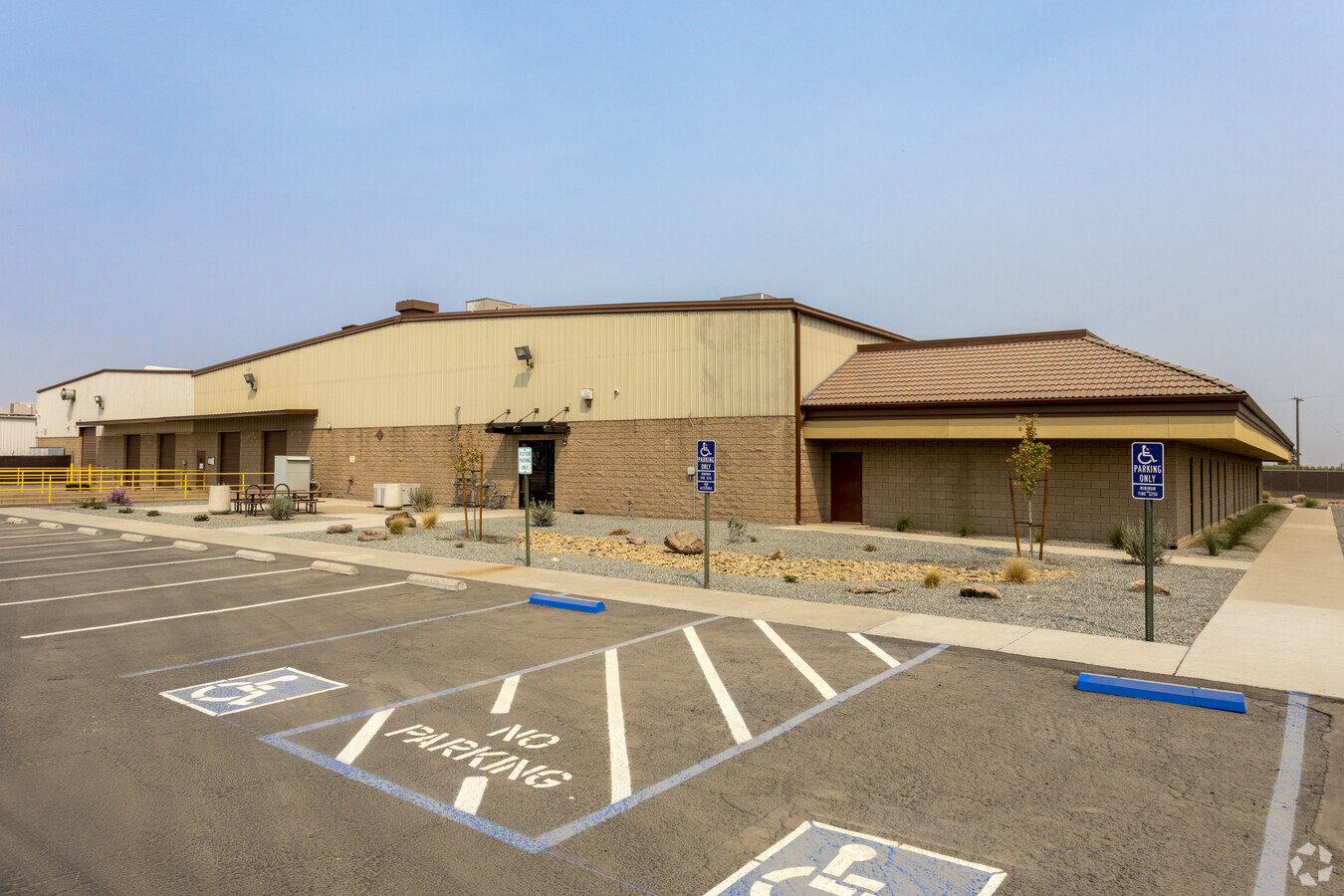
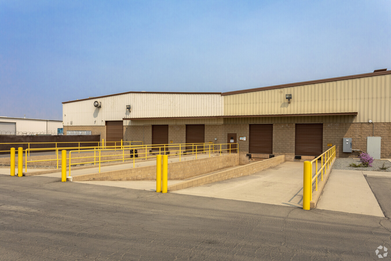
Property Record
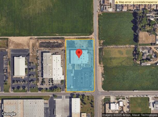
2505 N Shirk Rd, Visalia, CA 93291

NEARBY LISTINGS FOR SALE OR LEASE
Property Detail
2505 N Shirk Rd
077-200-007-000
Tract No 367
Lightindustrial
PAR 1 PAR MAP 2981 V30 P82 PM
X
Tulare
06107C0930E
California
2024
5 AC
2024
Northwest Visalia
001008
Visalia/Porterville
35,465 SF
Visalia-Porterville, CA
DEMOGRAPHICS near 2505 N Shirk Rd
1 Mile
3 Mile
5 Mile
2024 Total Population
4,609
48,366
117,308
2029 Population
4,850
50,229
121,640
Pop Growth 2024-2029
+ 5.23%
+ 3.85%
+ 3.69%
Average Age
35
36
36
2024 Total Households
1,442
15,681
37,820
HH Growth 2024-2029
+ 5.13%
+ 3.86%
+ 3.69%
Median Household Inc
$137,264
$84,900
$69,039
Avg Household Size
3.20
3.00
3.00
2024 Avg HH Vehicles
2.00
2.00
2.00
Median Home Value
$414,715
$355,863
$297,264
Median Year Built
2008
2000
1986
Nearby Places
- Restaurants
- Banks
- Shops
- Fitness
- Groceries
SALE & LEASE HISTORY
LISTING DATE
SALE/LEASE

Mar 10, 2020
For Lease
Nearby Properties
Address
Land Use
TOTAL SIZE
Lot Size
Zoning
Address
Land Use
TOTAL SIZE
Lot Size
Zoning
326,700 SF
55.21 AC
IH
Address
Land Use
TOTAL SIZE
Lot Size
Zoning
795,140 SF
64.73 AC
IH
Address
Land Use
TOTAL SIZE
Lot Size
Zoning
300,560 SF
38.07 AC
IL
Address
Land Use
TOTAL SIZE
Lot Size
Zoning
500,388 SF
31.90 AC
IH
Address
Land Use
TOTAL SIZE
Lot Size
Zoning
610,344 SF
83.28 AC
IH
Address
Land Use
TOTAL SIZE
Lot Size
Zoning
Address
Land Use
TOTAL SIZE
Lot Size
Zoning
384,146 SF
18.37 AC
IH
Address
Land Use
TOTAL SIZE
Lot Size
Zoning
139,410 SF
11.35 AC
CC
Address
Land Use
TOTAL SIZE
Lot Size
Zoning
121,380 SF
24.96 AC
QP
Address
Land Use
TOTAL SIZE
Lot Size
Zoning
6.96 AC
Address
Land Use
TOTAL SIZE
Lot Size
Zoning
59,808 SF
34.14 AC
IH
Address
Land Use
TOTAL SIZE
Lot Size
Zoning
156 AC
Address
Land Use
TOTAL SIZE
Lot Size
Zoning
176,582 SF
17.09 AC
M-1
Address
Land Use
TOTAL SIZE
Lot Size
Zoning
19.34 AC
QP
Address
Land Use
TOTAL SIZE
Lot Size
Zoning
549,395 SF
29.81 AC
IL
Address
Land Use
TOTAL SIZE
Lot Size
Zoning
10.13 AC
Address
Land Use
TOTAL SIZE
Lot Size
Zoning
56,320 SF
8.79 AC
IH
Address
Land Use
TOTAL SIZE
Lot Size
Zoning
Address
Land Use
TOTAL SIZE
Lot Size
Zoning
5.85 AC
RM2
Address
Land Use
TOTAL SIZE
Lot Size
Zoning
32,048 SF
2.81 AC
CSO
Address
Land Use
TOTAL SIZE
Lot Size
Zoning
216,438 SF
14.23 AC
IH
Address
Land Use
TOTAL SIZE
Lot Size
Zoning
252,364 SF
13.68 AC
IH
Address
Land Use
TOTAL SIZE
Lot Size
Zoning
80,000 SF
8.71 AC
IH
Address
Land Use
TOTAL SIZE
Lot Size
Zoning
236,442 SF
11.29 AC
IH
Address
Land Use
TOTAL SIZE
Lot Size
Zoning
51,362 SF
1.61 AC
CH
Address
Land Use
TOTAL SIZE
Lot Size
Zoning
105,630 SF
11.50 AC
IH
Address
Land Use
TOTAL SIZE
Lot Size
Zoning
38,400 SF
13.70 AC
IH
Address
Land Use
TOTAL SIZE
Lot Size
Zoning
227,136 SF
12.18 AC
IH
The World's #1 Commercial Real Estate Marketplace
Connect with us
© 2025 CoStar Group
The information above has been obtained from sources believed reliable. While we do not doubt its accuracy we have not verified it and make no guarantee, warranty or representation about it. It is your responsibility to independently confirm its accuracy and completeness. Any projections, opinions, assumptions, or estimates used are for example only and do not represent the current or future performance of the property. The value of this transaction to you depends on tax and other factors which should be evaluated by your tax, financial, and legal advisors. You and your advisors should conduct a careful, independent investigation of the property to determine to your satisfaction the suitability of the property for your needs.