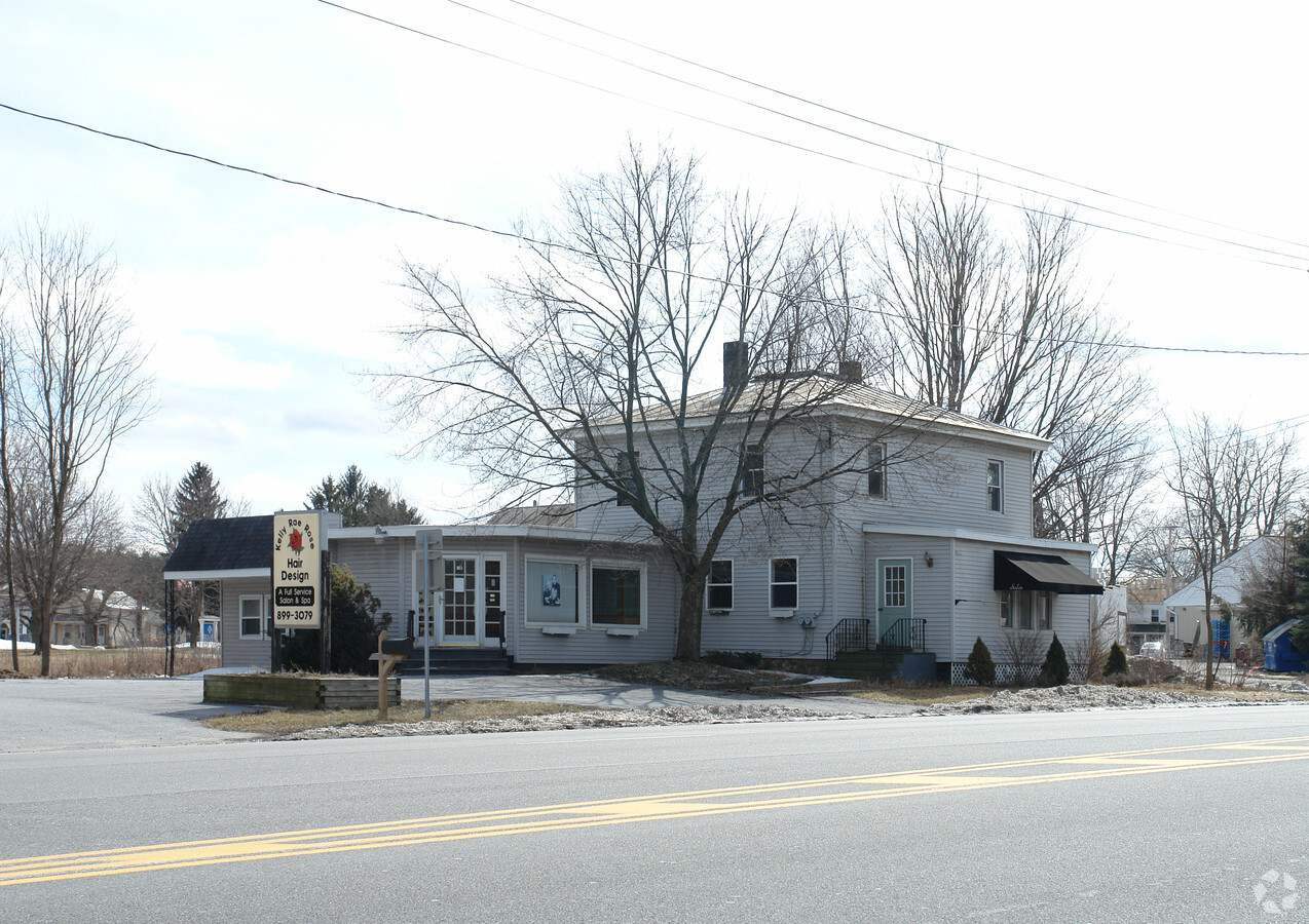
Property Record
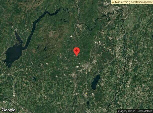
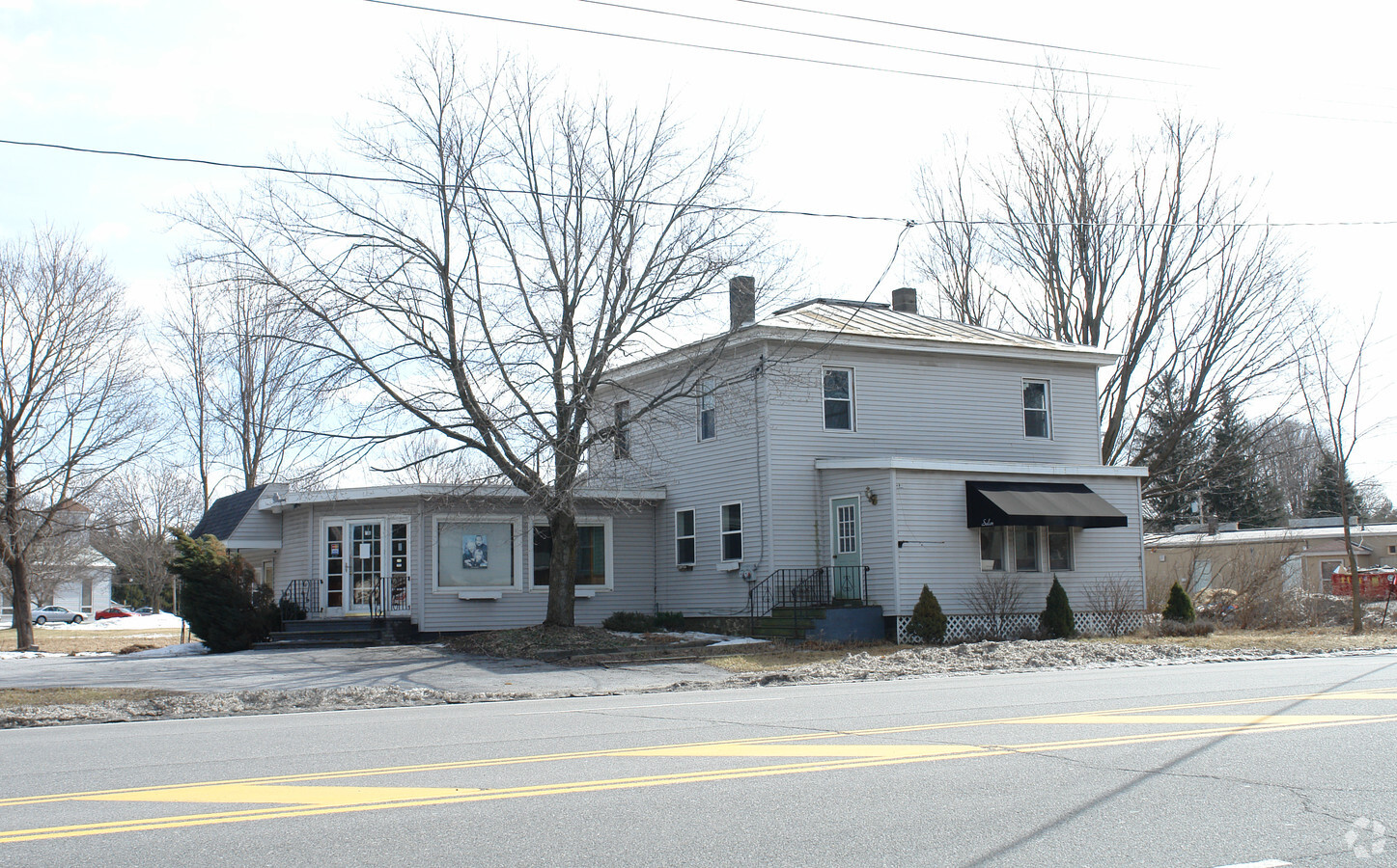
2511 Route 9N, Greenfield Center, NY 12833

NEARBY LISTINGS FOR SALE OR LEASE
-
-
View all Greenfield Center listings for sale on LoopNet.com
Property Detail
2511 Route 9N
Albany-Schenectady-Troy, NY
Saratoga
414089-229-004-0001-027-000-0000
New York
Financialbuilding
27.000
0
2.25 AC
2023
Saratoga County
060601
Albany/Schenectady/Troy
11,200 SF
DEMOGRAPHICS near 2511 Route 9N
1 Mile
3 Mile
5 Mile
2024 Total Population
5,326
17,472
40,851
2029 Population
5,510
18,176
42,585
Pop Growth 2024-2029
+ 3.45%
+ 4.03%
+ 4.24%
Average Age
43
43
43
2024 Total Households
2,522
7,723
17,467
HH Growth 2024-2029
+ 3.41%
+ 3.91%
+ 4.20%
Median Household Inc
$94,146
$97,946
$93,227
Avg Household Size
2.10
2.20
2.30
2024 Avg HH Vehicles
2.00
2.00
2.00
Median Home Value
$241,006
$314,921
$315,235
Median Year Built
1988
1991
1986
Nearby Places
- Restaurants
- Banks
- Shops
- Fitness
- Groceries
PUBLIC TRANSPORTATION
COMMUTER RAIL
Saratoga Springs Amtrak Station (Adirondack - Amtrak, Ethan Allen Express - Amtrak)
DRIVE
WALK
Distance
Saratoga Springs Amtrak Station (Adirondack - Amtrak, Ethan Allen Express - Amtrak)
7 min
4.2 mi
AIRPORT
Albany International
DRIVE
WALK
Distance
Albany International
42 min
30.2 mi
Freight Ports
Albany, NY Port
DRIVE
WALK
Distance
Albany, NY Port
57 min
40.6 mi
Nearby Properties
Address
Land Use
TOTAL SIZE
Lot Size
Zoning
Address
Land Use
TOTAL SIZE
Lot Size
Zoning
268,548 SF
53 AC
IM
Address
Land Use
TOTAL SIZE
Lot Size
Zoning
4,740 SF
37.10 AC
C7
Address
Land Use
TOTAL SIZE
Lot Size
Zoning
5,152 SF
30.20 AC
UR1
Address
Land Use
TOTAL SIZE
Lot Size
Zoning
81,122 SF
6.21 AC
Address
Land Use
TOTAL SIZE
Lot Size
Zoning
980 SF
73.69 AC
LDR
Address
Land Use
TOTAL SIZE
Lot Size
Zoning
36,192 SF
5.93 AC
CA2
Address
Land Use
TOTAL SIZE
Lot Size
Zoning
64,281 SF
9.66 AC
MDR 2
Address
Land Use
TOTAL SIZE
Lot Size
Zoning
24.73 AC
INDEX
Address
Land Use
TOTAL SIZE
Lot Size
Zoning
31,058 SF
3.32 AC
UR1
Address
Land Use
TOTAL SIZE
Lot Size
Zoning
31,104 SF
3.60 AC
UR1
Address
Land Use
TOTAL SIZE
Lot Size
Zoning
28,108 SF
3.14 AC
UR1
Address
Land Use
TOTAL SIZE
Lot Size
Zoning
18,258 SF
1.66 AC
Address
Land Use
TOTAL SIZE
Lot Size
Zoning
980 SF
21.27 AC
MDR 2
Address
Land Use
TOTAL SIZE
Lot Size
Zoning
11,925 SF
2.02 AC
C2A
Address
Land Use
TOTAL SIZE
Lot Size
Zoning
8,264 SF
2.30 AC
TC
Address
Land Use
TOTAL SIZE
Lot Size
Zoning
2,988 SF
9.83 AC
LDR
Address
Land Use
TOTAL SIZE
Lot Size
Zoning
2,827 SF
4 AC
PUD
Address
Land Use
TOTAL SIZE
Lot Size
Zoning
7,000 SF
30.84 AC
MDR 2
Address
Land Use
TOTAL SIZE
Lot Size
Zoning
3,880 SF
3.71 AC
UR7
Address
Land Use
TOTAL SIZE
Lot Size
Zoning
12,680 SF
4.47 AC
TC
Address
Land Use
TOTAL SIZE
Lot Size
Zoning
39,736 SF
9.92 AC
LDR
Address
Land Use
TOTAL SIZE
Lot Size
Zoning
924 SF
18.81 AC
IM
Address
Land Use
TOTAL SIZE
Lot Size
Zoning
2,586 SF
2.89 AC
UR4
Address
Land Use
TOTAL SIZE
Lot Size
Zoning
17,201 SF
1.04 AC
UR7
Address
Land Use
TOTAL SIZE
Lot Size
Zoning
7,380 SF
28.63 AC
R2
Address
Land Use
TOTAL SIZE
Lot Size
Zoning
3,000 SF
23.45 AC
INSPR
Address
Land Use
TOTAL SIZE
Lot Size
Zoning
5,417 SF
20.18 AC
INDEX
Address
Land Use
TOTAL SIZE
Lot Size
Zoning
3,328 SF
1.72 AC
UR7
Address
Land Use
TOTAL SIZE
Lot Size
Zoning
10,840 SF
5 AC
MDR 2
Address
Land Use
TOTAL SIZE
Lot Size
Zoning
12,864 SF
1.09 AC
UR1
The World's #1 Commercial Real Estate Marketplace
Connect with us
© 2025 CoStar Group
The information above has been obtained from sources believed reliable. While we do not doubt its accuracy we have not verified it and make no guarantee, warranty or representation about it. It is your responsibility to independently confirm its accuracy and completeness. Any projections, opinions, assumptions, or estimates used are for example only and do not represent the current or future performance of the property. The value of this transaction to you depends on tax and other factors which should be evaluated by your tax, financial, and legal advisors. You and your advisors should conduct a careful, independent investigation of the property to determine to your satisfaction the suitability of the property for your needs.