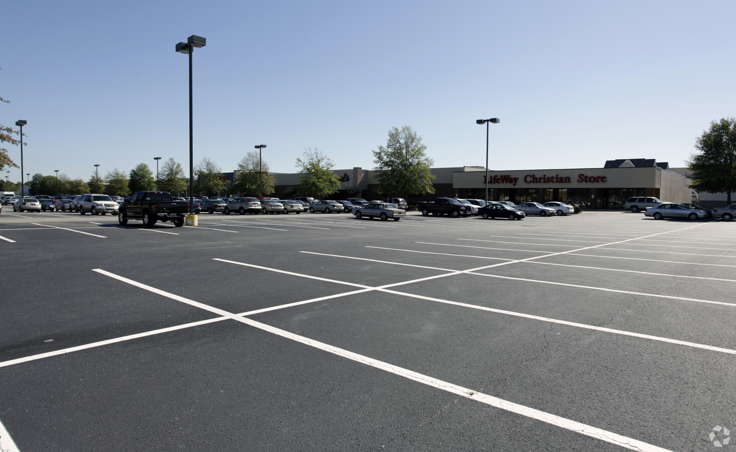
Property Record
2600 David H Mcleod Blvd, Florence, SC 29501
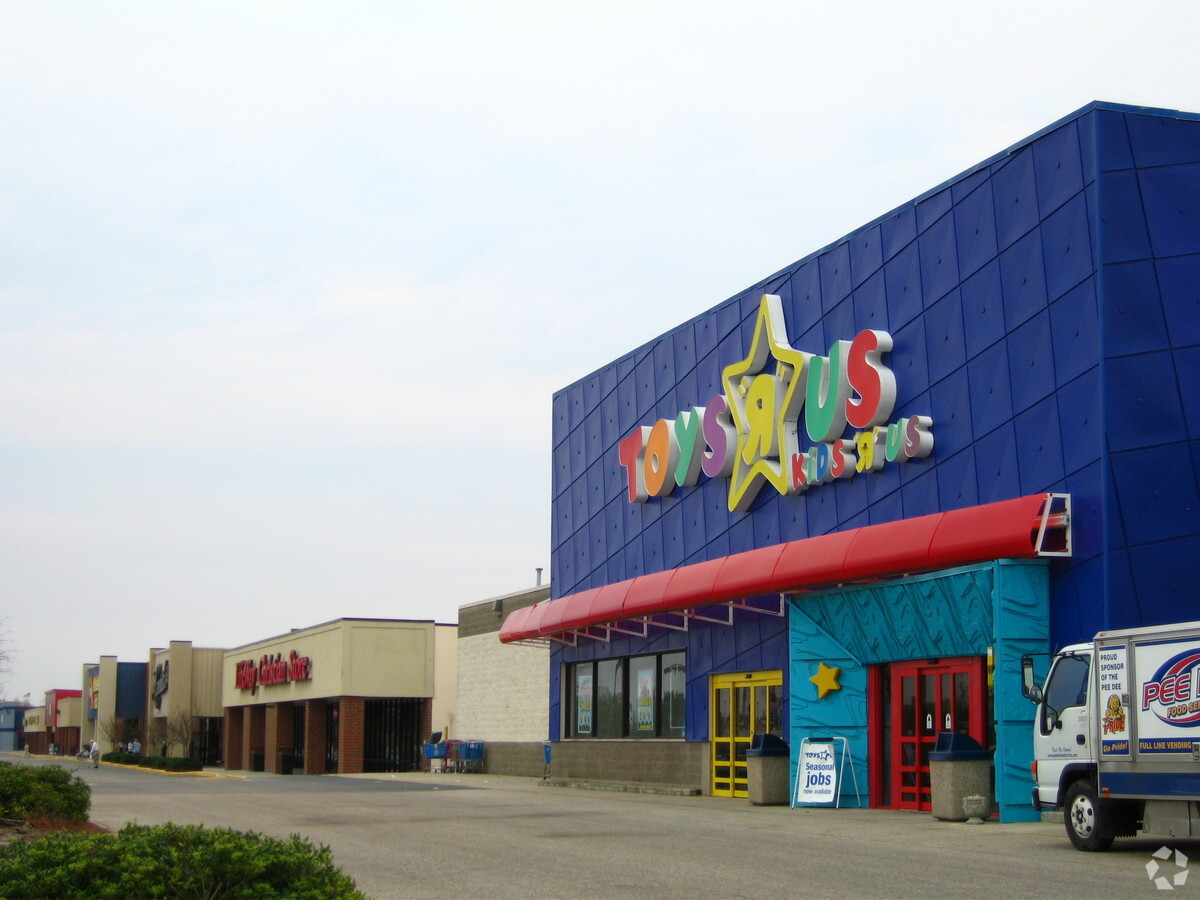
NEARBY LISTINGS FOR SALE OR LEASE
Property Detail
2600 David H Mcleod Blvd
00099-01-065
Alta/Acsm Land Title Survey
Storebuilding
MCLEOD BLVD
X
Florence
45041C0137E
South Carolina
2023
7.61 AC
2023
Florence/Dillon
000201
Other Market Areas
65,830 SF
Florence, SC
DEMOGRAPHICS near 2600 David H Mcleod Blvd
1 Mile
3 Mile
5 Mile
2024 Total Population
2,521
33,824
67,611
2029 Population
2,444
33,561
67,250
Pop Growth 2024-2029
(3.05%)
(0.78%)
(0.53%)
Average Age
40
40
40
2024 Total Households
1,183
14,103
27,694
HH Growth 2024-2029
(3.30%)
(0.89%)
(0.55%)
Median Household Inc
$56,804
$70,735
$62,012
Avg Household Size
2.10
2.30
2.40
2024 Avg HH Vehicles
2.00
2.00
2.00
Median Home Value
$230,357
$198,955
$188,718
Median Year Built
1981
1983
1984
Nearby Places
- Restaurants
- Banks
- Shops
- Fitness
- Groceries
PUBLIC TRANSPORTATION
COMMUTER RAIL
Florence Amtrak Station (Palmetto - Amtrak, Silver Meteor - Amtrak)
DRIVE
WALK
Distance
Florence Amtrak Station (Palmetto - Amtrak, Silver Meteor - Amtrak)
11 min
4.9 mi
Freight Ports
North Charleston Terminal
DRIVE
WALK
Distance
North Charleston Terminal
136 min
121.5 mi
SALE & LEASE HISTORY
LISTING DATE
SALE/LEASE

Sep 28, 2017
For Lease
May 12, 2021
For Lease
May 01, 2017
For Lease
Nearby Properties
Address
Land Use
TOTAL SIZE
Lot Size
Zoning
Address
Land Use
TOTAL SIZE
Lot Size
Zoning
26,703 SF
24.91 AC
Address
Land Use
TOTAL SIZE
Lot Size
Zoning
97,000 SF
50.87 AC
Address
Land Use
TOTAL SIZE
Lot Size
Zoning
218,026 SF
27.49 AC
Address
Land Use
TOTAL SIZE
Lot Size
Zoning
99,628 SF
19.35 AC
Address
Land Use
TOTAL SIZE
Lot Size
Zoning
89,105 SF
6.24 AC
Address
Land Use
TOTAL SIZE
Lot Size
Zoning
86.02 AC
Address
Land Use
TOTAL SIZE
Lot Size
Zoning
135,620 SF
12.97 AC
B3
Address
Land Use
TOTAL SIZE
Lot Size
Zoning
58,314 SF
5.27 AC
Address
Land Use
TOTAL SIZE
Lot Size
Zoning
135,000 SF
10.76 AC
Address
Land Use
TOTAL SIZE
Lot Size
Zoning
108,153 SF
10.58 AC
Address
Land Use
TOTAL SIZE
Lot Size
Zoning
900 SF
17.01 AC
Address
Land Use
TOTAL SIZE
Lot Size
Zoning
14,438 SF
1.88 AC
Address
Land Use
TOTAL SIZE
Lot Size
Zoning
119.02 AC
Address
Land Use
TOTAL SIZE
Lot Size
Zoning
53,949 SF
10.01 AC
Address
Land Use
TOTAL SIZE
Lot Size
Zoning
41,834 SF
2.45 AC
Address
Land Use
TOTAL SIZE
Lot Size
Zoning
10,500 SF
7.83 AC
Address
Land Use
TOTAL SIZE
Lot Size
Zoning
166.36 AC
Address
Land Use
TOTAL SIZE
Lot Size
Zoning
454,390 SF
95.85 AC
RU1
Address
Land Use
TOTAL SIZE
Lot Size
Zoning
32,680 SF
5.75 AC
Address
Land Use
TOTAL SIZE
Lot Size
Zoning
68.98 AC
Address
Land Use
TOTAL SIZE
Lot Size
Zoning
24,014 SF
1.57 AC
B3
Address
Land Use
TOTAL SIZE
Lot Size
Zoning
111.70 AC
RU1
Address
Land Use
TOTAL SIZE
Lot Size
Zoning
16,000 SF
6.69 AC
Address
Land Use
TOTAL SIZE
Lot Size
Zoning
96.99 AC
Address
Land Use
TOTAL SIZE
Lot Size
Zoning
10,344 SF
2.77 AC
B1
Address
Land Use
TOTAL SIZE
Lot Size
Zoning
46,097 SF
5.30 AC
B2
Address
Land Use
TOTAL SIZE
Lot Size
Zoning
19,996 SF
1.69 AC
Address
Land Use
TOTAL SIZE
Lot Size
Zoning
15,990 SF
7.99 AC
RU1
The World's #1 Commercial Real Estate Marketplace
Connect with us
© 2025 CoStar Group
The information above has been obtained from sources believed reliable. While we do not doubt its accuracy we have not verified it and make no guarantee, warranty or representation about it. It is your responsibility to independently confirm its accuracy and completeness. Any projections, opinions, assumptions, or estimates used are for example only and do not represent the current or future performance of the property. The value of this transaction to you depends on tax and other factors which should be evaluated by your tax, financial, and legal advisors. You and your advisors should conduct a careful, independent investigation of the property to determine to your satisfaction the suitability of the property for your needs.