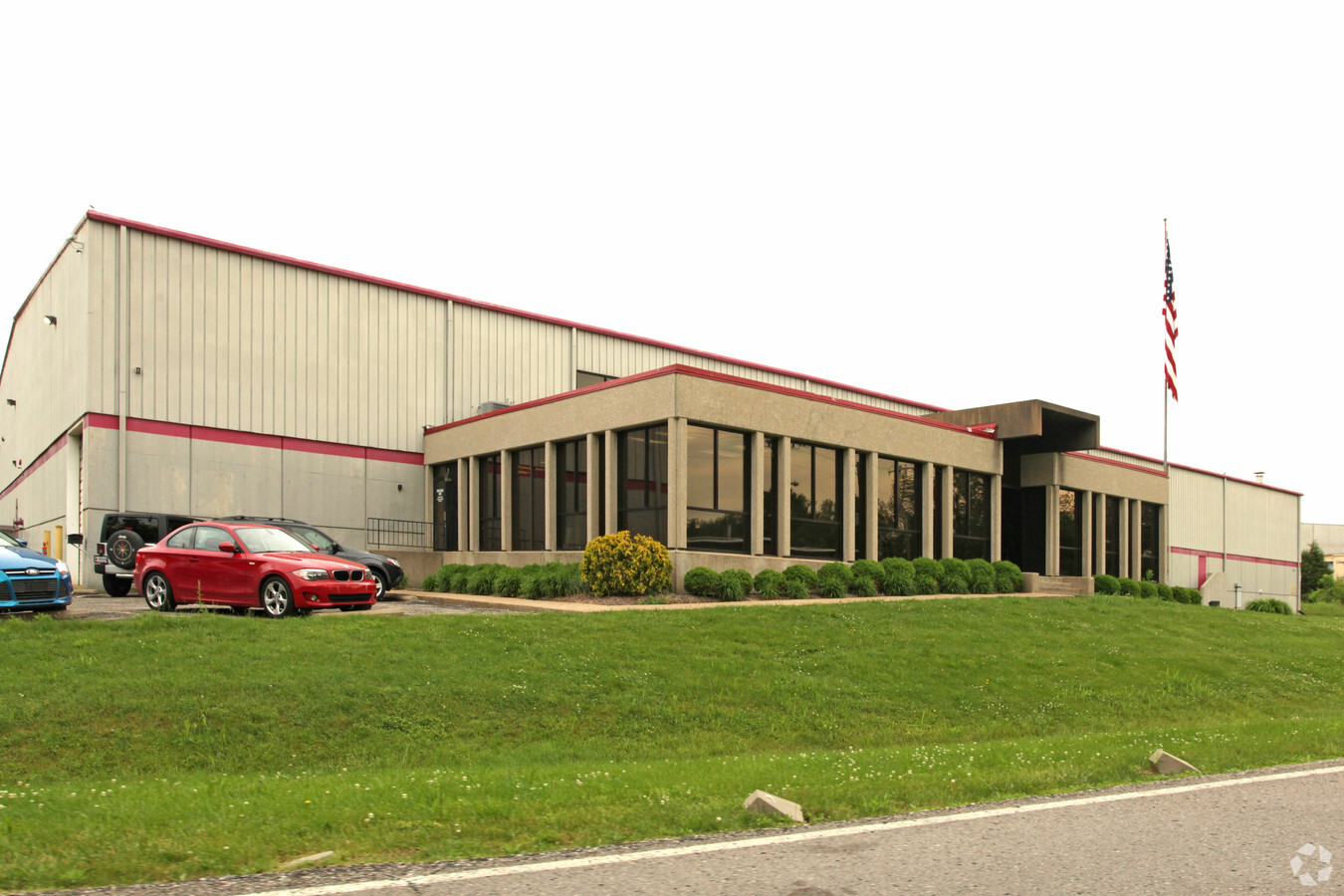
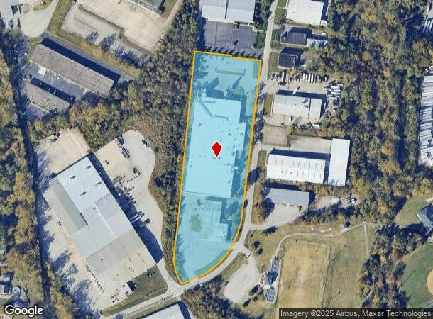
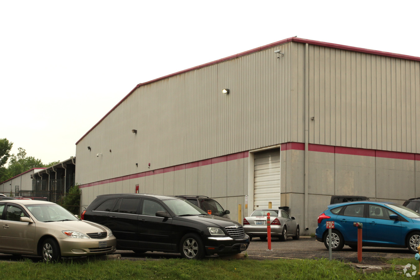
Property Record
2600 Grassland Dr, Louisville, KY 40299

NEARBY LISTINGS FOR SALE OR LEASE
Property Detail
2600 Grassland Dr
003804540000
Bluegrass Research & Industrial Park
Manufacturinglight
TRACT 1 MINOR PLAT DB 9096 X 125, 6.0658 AC +/-
X
Jefferson
21111C0063F
Kentucky
2024
6.07 AC
2024
Southeast
011116
Louisville
89,535 SF
Louisville-Jefferson County, KY-IN
DEMOGRAPHICS near 2600 Grassland Dr
1 Mile
3 Mile
5 Mile
2024 Total Population
5,817
70,841
179,727
2029 Population
5,693
69,713
177,113
Pop Growth 2024-2029
(2.13%)
(1.59%)
(1.45%)
Average Age
39
42
41
2024 Total Households
2,569
30,094
77,433
HH Growth 2024-2029
(2.22%)
(1.63%)
(1.46%)
Median Household Inc
$65,512
$80,451
$75,542
Avg Household Size
2.20
2.30
2.30
2024 Avg HH Vehicles
2.00
2.00
2.00
Median Home Value
$183,875
$258,947
$253,314
Median Year Built
1969
1982
1979
Nearby Places
- Restaurants
- Banks
- Shops
- Fitness
- Groceries
PUBLIC TRANSPORTATION
AIRPORT
Louisville Muhammad Ali International
DRIVE
WALK
Distance
Louisville Muhammad Ali International
30 min
16.1 mi
Freight Ports
Port of Toledo
DRIVE
WALK
Distance
Port of Toledo
357 min
302.9 mi
Nearby Properties
Address
Land Use
TOTAL SIZE
Lot Size
Zoning
Address
Land Use
TOTAL SIZE
Lot Size
Zoning
115.43 AC
R4-RESIDEN
Address
Land Use
TOTAL SIZE
Lot Size
Zoning
2,776 SF
34.17 AC
R4-RESIDEN
Address
Land Use
TOTAL SIZE
Lot Size
Zoning
1,194 SF
38.74 AC
R4-RESIDEN
Address
Land Use
TOTAL SIZE
Lot Size
Zoning
Address
Land Use
TOTAL SIZE
Lot Size
Zoning
1,334 SF
24.71 AC
R4-RESIDEN
Address
Land Use
TOTAL SIZE
Lot Size
Zoning
8.47 AC
R1-RESIDEN
Address
Land Use
TOTAL SIZE
Lot Size
Zoning
45.92 AC
Address
Land Use
TOTAL SIZE
Lot Size
Zoning
2,140 SF
18.35 AC
R4-RESIDEN
Address
Land Use
TOTAL SIZE
Lot Size
Zoning
19.57 AC
Address
Land Use
TOTAL SIZE
Lot Size
Zoning
18,394 SF
22.09 AC
C1-COMMERC
Address
Land Use
TOTAL SIZE
Lot Size
Zoning
202,557 SF
6.06 AC
C2-COMMERC
Address
Land Use
TOTAL SIZE
Lot Size
Zoning
19,568 SF
24.23 AC
R7-RESIDEN
Address
Land Use
TOTAL SIZE
Lot Size
Zoning
175,971 SF
18.54 AC
PEC-PLANNE
Address
Land Use
TOTAL SIZE
Lot Size
Zoning
10,026 SF
13.45 AC
R6-RESIDEN
Address
Land Use
TOTAL SIZE
Lot Size
Zoning
10,800 SF
18.70 AC
R6-RESIDEN
Address
Land Use
TOTAL SIZE
Lot Size
Zoning
18,784 SF
16.80 AC
R6-RESIDEN
Address
Land Use
TOTAL SIZE
Lot Size
Zoning
9,844 SF
15.11 AC
R6-RESIDEN
Address
Land Use
TOTAL SIZE
Lot Size
Zoning
910 SF
9.77 AC
R6-RESIDEN
Address
Land Use
TOTAL SIZE
Lot Size
Zoning
28.91 AC
R4-RESIDEN
Address
Land Use
TOTAL SIZE
Lot Size
Zoning
115,168 SF
8.59 AC
C1-COMMERC
Address
Land Use
TOTAL SIZE
Lot Size
Zoning
31,968 SF
15.34 AC
R4-RESIDEN
Address
Land Use
TOTAL SIZE
Lot Size
Zoning
Address
Land Use
TOTAL SIZE
Lot Size
Zoning
9,560 SF
20.31 AC
C1-COMMERC
Address
Land Use
TOTAL SIZE
Lot Size
Zoning
159,847 SF
5.23 AC
PEC-PLANNE
Address
Land Use
TOTAL SIZE
Lot Size
Zoning
110,088 SF
8.69 AC
PEC-PLANNE
Address
Land Use
TOTAL SIZE
Lot Size
Zoning
10,358 SF
17.01 AC
R6-RESIDEN
Address
Land Use
TOTAL SIZE
Lot Size
Zoning
30.45 AC
Address
Land Use
TOTAL SIZE
Lot Size
Zoning
19.91 AC
Address
Land Use
TOTAL SIZE
Lot Size
Zoning
48,000 SF
29.85 AC
PEC-PLANNE
Address
Land Use
TOTAL SIZE
Lot Size
Zoning
13,810 SF
12.69 AC
R6-RESIDEN
The World's #1 Commercial Real Estate Marketplace
Connect with us
© 2025 CoStar Group
The information above has been obtained from sources believed reliable. While we do not doubt its accuracy we have not verified it and make no guarantee, warranty or representation about it. It is your responsibility to independently confirm its accuracy and completeness. Any projections, opinions, assumptions, or estimates used are for example only and do not represent the current or future performance of the property. The value of this transaction to you depends on tax and other factors which should be evaluated by your tax, financial, and legal advisors. You and your advisors should conduct a careful, independent investigation of the property to determine to your satisfaction the suitability of the property for your needs.