Property Record
261 N Main, Cedar Springs, MI 49319
NEARBY LISTINGS FOR SALE OR LEASE
-
-
View all Cedar Springs listings for sale on LoopNet.com
Property Detail
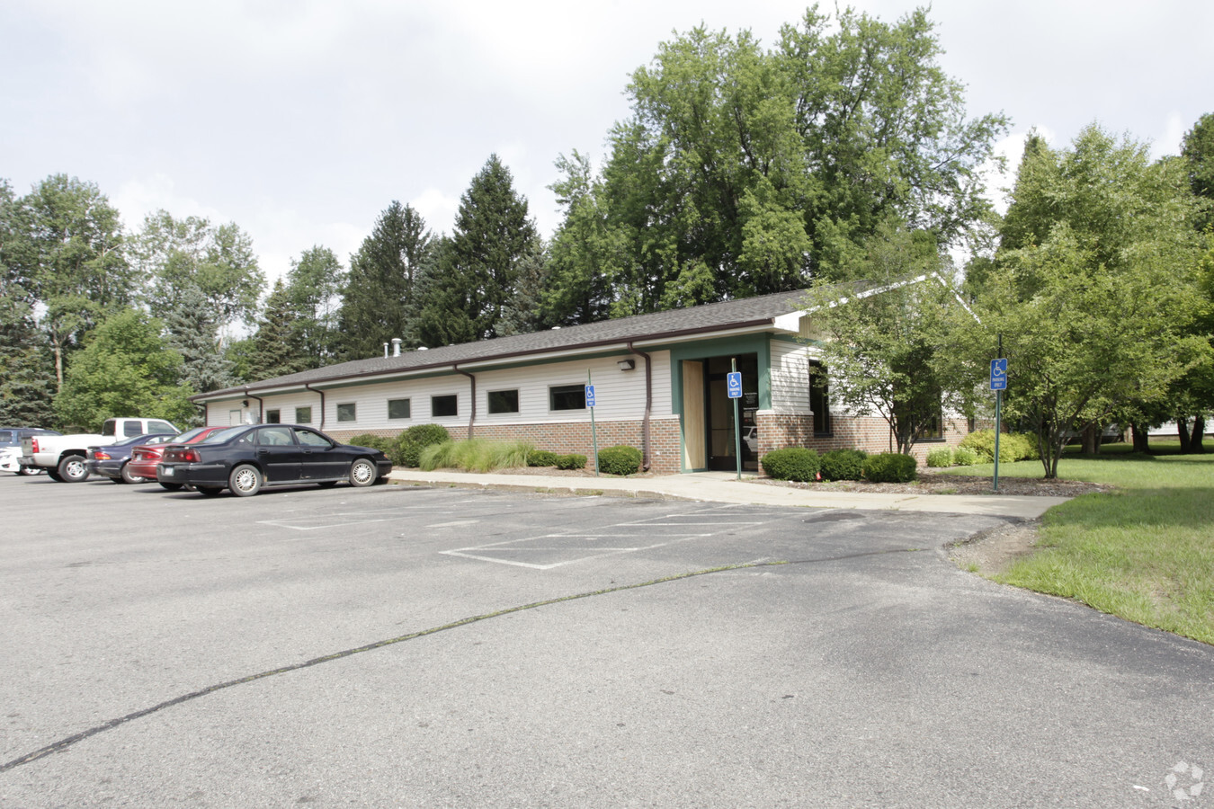
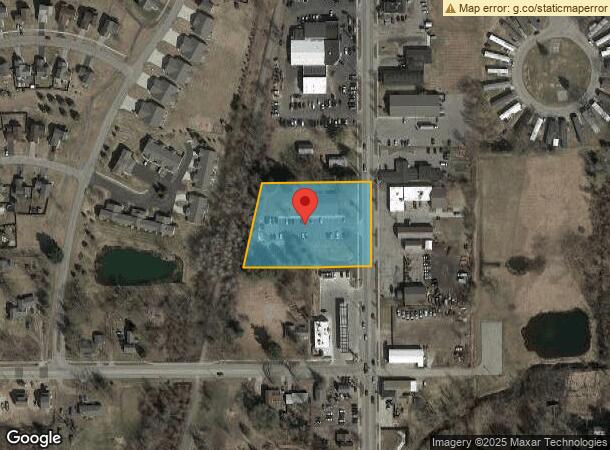
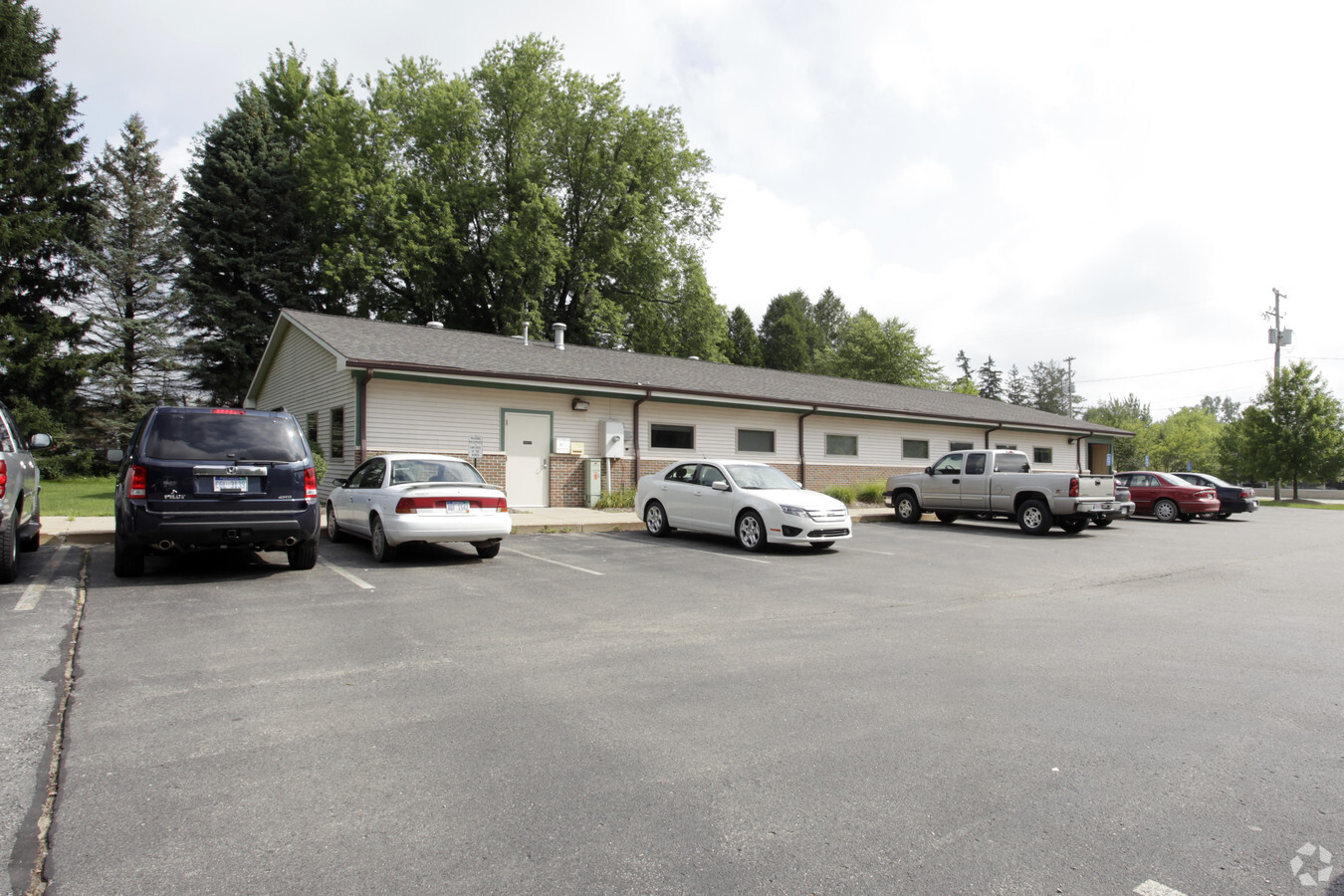
261 N Main
Grand Rapids-Wyoming, MI
N 241.5 FT OF S 538.5 FT OF NE 1/4 LYING E OF PENN RR R/W * SEC 25 T10N R11W 1.87 A.
41-02-25-277-007
Kent
Dentalbldg
Michigan
2023
1.87 AC
2024
Outlying Kent County
0102001023
West Michigan
5,862 SF
DEMOGRAPHICS near 261 N Main
1 Mile
3 Mile
5 Mile
2024 Total Population
3,866
9,265
20,776
2029 Population
3,908
9,393
21,047
Pop Growth 2024-2029
+ 1.09%
+ 1.38%
+ 1.30%
Average Age
36
39
39
2024 Total Households
1,380
3,358
7,451
HH Growth 2024-2029
+ 1.16%
+ 1.43%
+ 1.32%
Median Household Inc
$50,460
$66,623
$80,626
Avg Household Size
2.70
2.70
2.80
2024 Avg HH Vehicles
2.00
2.00
2.00
Median Home Value
$203,951
$224,480
$243,282
Median Year Built
1968
1988
1992
Nearby Places
- Restaurants
- Banks
- Shops
- Fitness
- Groceries
PUBLIC TRANSPORTATION
AIRPORT
Gerald R Ford International
DRIVE
WALK
Distance
Gerald R Ford International
45 min
29.3 mi
Freight Ports
Port Milwaukee
DRIVE
WALK
Distance
Port Milwaukee
330 min
283.3 mi
Nearby Properties
Address
Land Use
TOTAL SIZE
Lot Size
Zoning
Address
Land Use
TOTAL SIZE
Lot Size
Zoning
435,600 SF
Address
Land Use
TOTAL SIZE
Lot Size
Zoning
413,330 SF
20.83 AC
I-1
Address
Land Use
TOTAL SIZE
Lot Size
Zoning
40,800 SF
109.96 AC
IC
Address
Land Use
TOTAL SIZE
Lot Size
Zoning
Address
Land Use
TOTAL SIZE
Lot Size
Zoning
45,506 SF
10 AC
R-3
Address
Land Use
TOTAL SIZE
Lot Size
Zoning
48,220 SF
4.09 AC
Address
Land Use
TOTAL SIZE
Lot Size
Zoning
3,160 SF
37.37 AC
R-4
Address
Land Use
TOTAL SIZE
Lot Size
Zoning
14,170 SF
4.50 AC
H-C
Address
Land Use
TOTAL SIZE
Lot Size
Zoning
8.86 AC
C2
Address
Land Use
TOTAL SIZE
Lot Size
Zoning
111,520 SF
7.30 AC
I-1
Address
Land Use
TOTAL SIZE
Lot Size
Zoning
55,224 SF
5.87 AC
R-3
Address
Land Use
TOTAL SIZE
Lot Size
Zoning
28,345 SF
3.37 AC
B-3
Address
Land Use
TOTAL SIZE
Lot Size
Zoning
26,703 SF
5.45 AC
R-1
Address
Land Use
TOTAL SIZE
Lot Size
Zoning
5,816 SF
10.46 AC
HC
Address
Land Use
TOTAL SIZE
Lot Size
Zoning
20 AC
MHP
Address
Land Use
TOTAL SIZE
Lot Size
Zoning
1,800 SF
75 AC
MHP
Address
Land Use
TOTAL SIZE
Lot Size
Zoning
61,816 SF
5.10 AC
H-C
Address
Land Use
TOTAL SIZE
Lot Size
Zoning
38,473 SF
8.60 AC
R-3
Address
Land Use
TOTAL SIZE
Lot Size
Zoning
572 SF
16.47 AC
R-4
Address
Land Use
TOTAL SIZE
Lot Size
Zoning
24,800 SF
3.90 AC
Address
Land Use
TOTAL SIZE
Lot Size
Zoning
13,520 SF
Address
Land Use
TOTAL SIZE
Lot Size
Zoning
50,610 SF
6.47 AC
H-C
Address
Land Use
TOTAL SIZE
Lot Size
Zoning
14,653 SF
1.80 AC
H-C
Address
Land Use
TOTAL SIZE
Lot Size
Zoning
4,632 SF
161 AC
AR
Address
Land Use
TOTAL SIZE
Lot Size
Zoning
18,960 SF
2.94 AC
H-C
Address
Land Use
TOTAL SIZE
Lot Size
Zoning
23,148 SF
2.99 AC
B-3
Address
Land Use
TOTAL SIZE
Lot Size
Zoning
5.48 AC
L1
Address
Land Use
TOTAL SIZE
Lot Size
Zoning
17,520 SF
33.28 AC
L1
Address
Land Use
TOTAL SIZE
Lot Size
Zoning
16,872 SF
2.16 AC
H-C
Address
Land Use
TOTAL SIZE
Lot Size
Zoning
45,747 SF
12.57 AC
I-1
The World's #1 Commercial Real Estate Marketplace
Connect with us
© 2025 CoStar Group
The information above has been obtained from sources believed reliable. While we do not doubt its accuracy we have not verified it and make no guarantee, warranty or representation about it. It is your responsibility to independently confirm its accuracy and completeness. Any projections, opinions, assumptions, or estimates used are for example only and do not represent the current or future performance of the property. The value of this transaction to you depends on tax and other factors which should be evaluated by your tax, financial, and legal advisors. You and your advisors should conduct a careful, independent investigation of the property to determine to your satisfaction the suitability of the property for your needs.