Property Record
265 New Garden Rd, Avondale, PA 19311

NEARBY LISTINGS FOR SALE OR LEASE
-
-
View all Avondale listings for sale on LoopNet.com
Property Detail
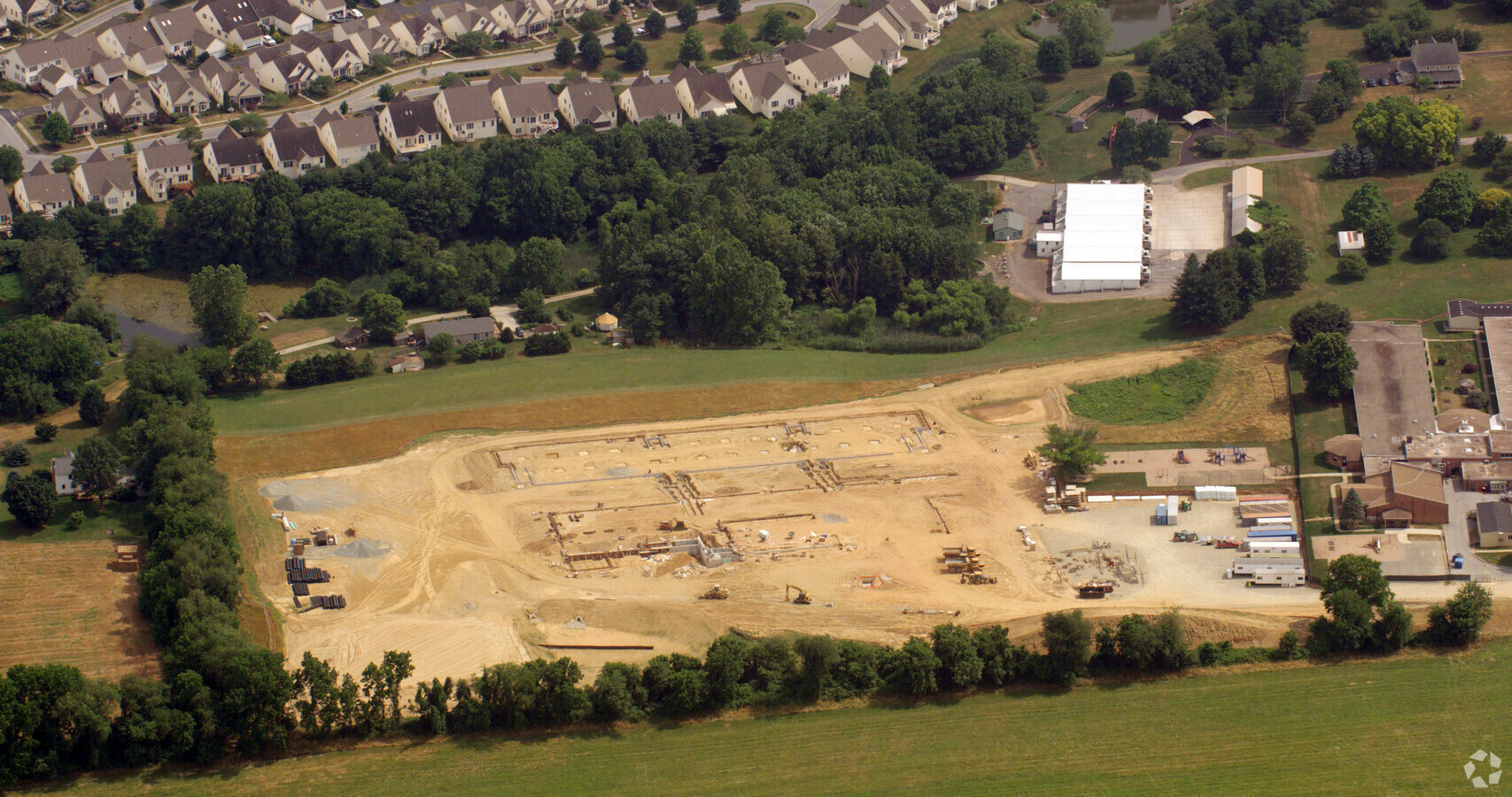
265 New Garden Rd
60-004-0030.000E
25 AC GAR & SCHOOL
Utilities
Chester
X
Pennsylvania
10003C0040L
25 AC
2024
Chester
2024
Philadelphia
306504
Philadelphia-Camden-Wilmington, PA-NJ-DE-MD
69,351 SF
DEMOGRAPHICS near 265 New Garden Rd
1 Mile
3 Mile
5 Mile
2024 Total Population
2,291
25,469
66,549
2029 Population
2,335
26,107
68,151
Pop Growth 2024-2029
+ 1.92%
+ 2.51%
+ 2.41%
Average Age
41
41
42
2024 Total Households
777
8,652
23,295
HH Growth 2024-2029
+ 2.19%
+ 2.72%
+ 2.51%
Median Household Inc
$192,547
$134,209
$129,203
Avg Household Size
2.90
2.90
2.80
2024 Avg HH Vehicles
2.00
2.00
2.00
Median Home Value
$477,310
$453,181
$444,912
Median Year Built
1999
1991
1987
Nearby Places
- Restaurants
- Banks
- Shops
- Fitness
- Groceries
PUBLIC TRANSPORTATION
AIRPORT
Philadelphia International
DRIVE
WALK
Distance
Philadelphia International
52 min
32.9 mi
Freight Ports
Port of Wilmington, RI
DRIVE
WALK
Distance
Port of Wilmington, RI
30 min
16.8 mi
Nearby Properties
Address
Land Use
TOTAL SIZE
Lot Size
Zoning
Address
Land Use
TOTAL SIZE
Lot Size
Zoning
204,007 SF
79 AC
R1
Address
Land Use
TOTAL SIZE
Lot Size
Zoning
238,215 SF
35.70 AC
R3
Address
Land Use
TOTAL SIZE
Lot Size
Zoning
26,124 SF
24.21 AC
S
Address
Land Use
TOTAL SIZE
Lot Size
Zoning
105,405 SF
17 AC
R1
Address
Land Use
TOTAL SIZE
Lot Size
Zoning
451,182 SF
94.70 AC
BP
Address
Land Use
TOTAL SIZE
Lot Size
Zoning
114,126 SF
18.10 AC
CI
Address
Land Use
TOTAL SIZE
Lot Size
Zoning
200,337 SF
14 AC
CI
Address
Land Use
TOTAL SIZE
Lot Size
Zoning
41,040 SF
11.60 AC
CR
Address
Land Use
TOTAL SIZE
Lot Size
Zoning
87,680 SF
11.40 AC
CI
Address
Land Use
TOTAL SIZE
Lot Size
Zoning
106,200 SF
10.40 AC
CI
Address
Land Use
TOTAL SIZE
Lot Size
Zoning
175,250 SF
50 AC
SA
Address
Land Use
TOTAL SIZE
Lot Size
Zoning
106,210 SF
11.70 AC
UD
Address
Land Use
TOTAL SIZE
Lot Size
Zoning
54,097 SF
3.80 AC
R3
Address
Land Use
TOTAL SIZE
Lot Size
Zoning
262,839 SF
59.75 AC
R1
Address
Land Use
TOTAL SIZE
Lot Size
Zoning
70,448 SF
11.40 AC
CI
Address
Land Use
TOTAL SIZE
Lot Size
Zoning
84,830 SF
10.66 AC
CI
Address
Land Use
TOTAL SIZE
Lot Size
Zoning
33,620 SF
1.13 AC
R2A
Address
Land Use
TOTAL SIZE
Lot Size
Zoning
104,344 SF
9.20 AC
UD
Address
Land Use
TOTAL SIZE
Lot Size
Zoning
71,830 SF
22.40 AC
R2
Address
Land Use
TOTAL SIZE
Lot Size
Zoning
58,773 SF
11.04 AC
CI
Address
Land Use
TOTAL SIZE
Lot Size
Zoning
29,614 SF
28.29 AC
R1
Address
Land Use
TOTAL SIZE
Lot Size
Zoning
150,423 SF
44.22 AC
R1
Address
Land Use
TOTAL SIZE
Lot Size
Zoning
50,846 SF
10 AC
CI
Address
Land Use
TOTAL SIZE
Lot Size
Zoning
100,807 SF
83.99 AC
BP
Address
Land Use
TOTAL SIZE
Lot Size
Zoning
64,044 SF
69.21 AC
BP
Address
Land Use
TOTAL SIZE
Lot Size
Zoning
15,680 SF
2.50 AC
C2
Address
Land Use
TOTAL SIZE
Lot Size
Zoning
26,274 SF
1.81 AC
R1
Address
Land Use
TOTAL SIZE
Lot Size
Zoning
13,092 SF
2.60 AC
CI
Address
Land Use
TOTAL SIZE
Lot Size
Zoning
5,190 SF
0.74 AC
C2
The World's #1 Commercial Real Estate Marketplace
Connect with us
© 2025 CoStar Group
The information above has been obtained from sources believed reliable. While we do not doubt its accuracy we have not verified it and make no guarantee, warranty or representation about it. It is your responsibility to independently confirm its accuracy and completeness. Any projections, opinions, assumptions, or estimates used are for example only and do not represent the current or future performance of the property. The value of this transaction to you depends on tax and other factors which should be evaluated by your tax, financial, and legal advisors. You and your advisors should conduct a careful, independent investigation of the property to determine to your satisfaction the suitability of the property for your needs.