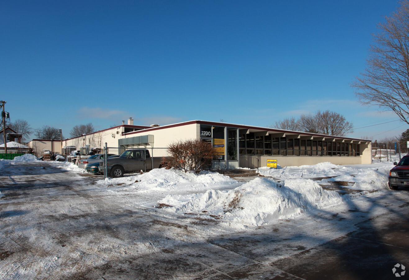
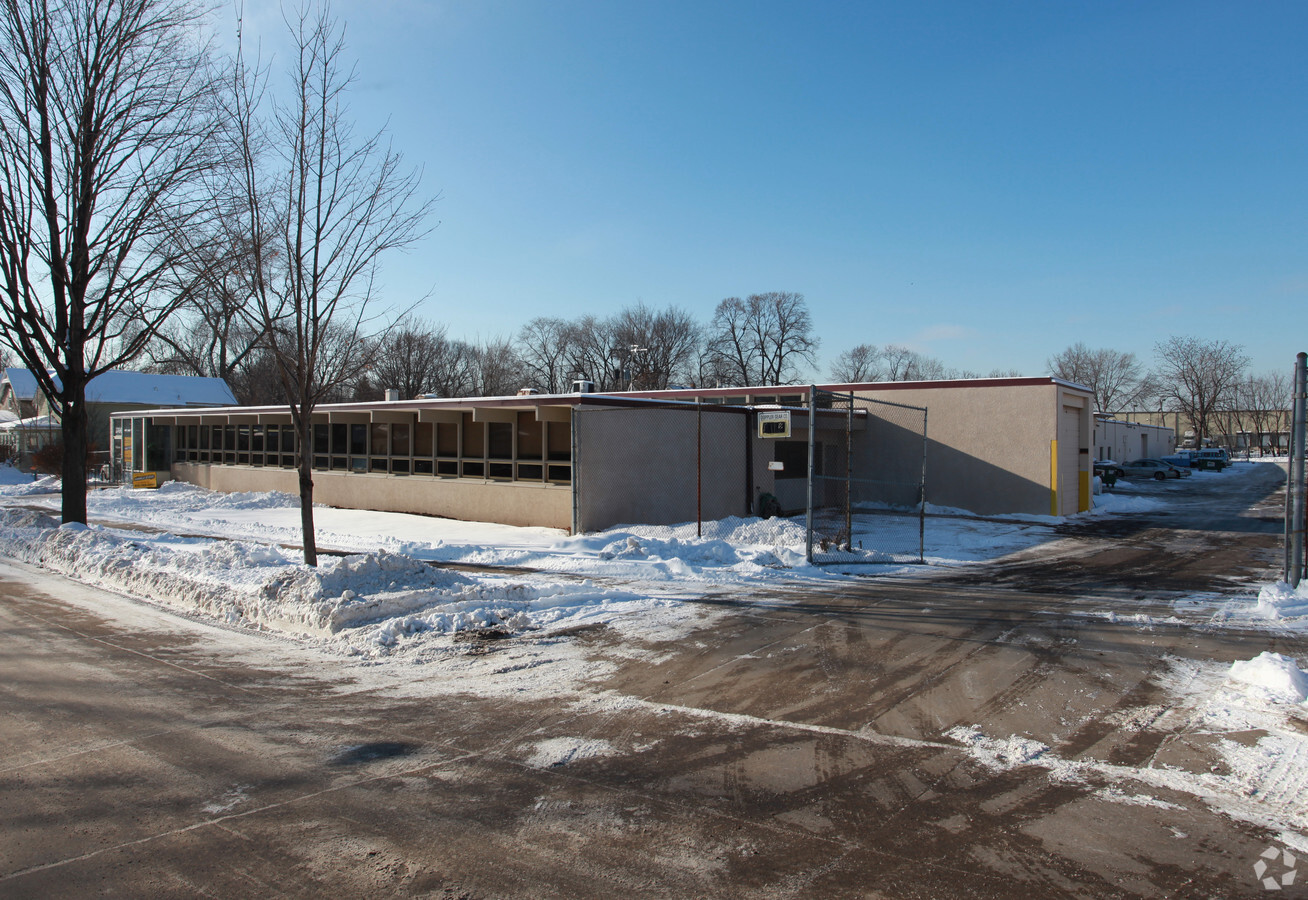
Property Record
2720 30Th Ave S, Minneapolis, MN 55406

Current Lease Availabilities
NEARBY LISTINGS FOR SALE OR LEASE
Property Detail
2720 30Th Ave S
Minneapolis-St. Paul-Bloomington, MN-WI
South Side Addn To Mpls
36-029-24-41-0099
BLOCK 013 A SOUTH SIDE ADDN TO MPLS LOTS 3 THRU 6 INCL AND LOTS 19 THRU 22 INCL BLK 13 INCL ADJ 1/2 OF ALLEY VACATED 192 X 330.5
Industrialgeneral
Hennepin
X
Minnesota
27053C0378F
4
2024
1.46 AC
2023
Minneapolis
1074001001
Minneapolis/St Paul
36,031 SF
DEMOGRAPHICS near 2720 30Th Ave S
1 Mile
3 Mile
5 Mile
2024 Total Population
21,498
248,328
491,981
2029 Population
21,076
245,160
483,197
Pop Growth 2024-2029
(1.96%)
(1.28%)
(1.79%)
Average Age
38
36
37
2024 Total Households
9,167
111,640
219,166
HH Growth 2024-2029
(2.14%)
(1.20%)
(1.77%)
Median Household Inc
$60,416
$62,451
$71,389
Avg Household Size
2.10
2.00
2.10
2024 Avg HH Vehicles
1.00
1.00
1.00
Median Home Value
$299,282
$330,775
$346,909
Median Year Built
1949
1960
1953
Nearby Places
- Restaurants
- Banks
- Shops
- Fitness
- Groceries
PUBLIC TRANSPORTATION
TRANSIT/SUBWAY
Lake Street/Midtown Station (Hiawatha Line - Minneapolis-Saint Paul Metro Transit Light Rail)
DRIVE
WALK
Distance
Lake Street/Midtown Station (Hiawatha Line - Minneapolis-Saint Paul Metro Transit Light Rail)
3 min
15 min
0.8 mi
COMMUTER RAIL
Target Field Station (Northstar Corridor - Northstar Commuter Rail)
DRIVE
WALK
Distance
Target Field Station (Northstar Corridor - Northstar Commuter Rail)
11 min
3.8 mi
St. Paul-Minneapolis (Empire Builder - Amtrak)
DRIVE
WALK
Distance
St. Paul-Minneapolis (Empire Builder - Amtrak)
16 min
8.9 mi
AIRPORT
Minneapolis-St Paul International/Wold-Chamberlain
DRIVE
WALK
Distance
Minneapolis-St Paul International/Wold-Chamberlain
18 min
8.6 mi
Freight Ports
Port Milwaukee
DRIVE
WALK
Distance
Port Milwaukee
375 min
337.3 mi
Nearby Properties
Address
Land Use
TOTAL SIZE
Lot Size
Zoning
Address
Land Use
TOTAL SIZE
Lot Size
Zoning
2,094,377 SF
2.10 AC
B4-2
Address
Land Use
TOTAL SIZE
Lot Size
Zoning
1,934,403 SF
1.67 AC
B4-2
Address
Land Use
TOTAL SIZE
Lot Size
Zoning
141,277 SF
44.78 AC
Address
Land Use
TOTAL SIZE
Lot Size
Zoning
1,462,182 SF
1 AC
B4-2
Address
Land Use
TOTAL SIZE
Lot Size
Zoning
2,282,334 SF
3.25 AC
B4-2
Address
Land Use
TOTAL SIZE
Lot Size
Zoning
1,821,999 SF
2.51 AC
B4-2
Address
Land Use
TOTAL SIZE
Lot Size
Zoning
1,208,190 SF
1.20 AC
B4-2
Address
Land Use
TOTAL SIZE
Lot Size
Zoning
Address
Land Use
TOTAL SIZE
Lot Size
Zoning
1,044,454 SF
1.08 AC
B4-2
Address
Land Use
TOTAL SIZE
Lot Size
Zoning
1,054,492 SF
1.70 AC
B4-1
Address
Land Use
TOTAL SIZE
Lot Size
Zoning
621,608 SF
1.03 AC
B4-2
Address
Land Use
TOTAL SIZE
Lot Size
Zoning
933,991 SF
0.97 AC
B4S-2
Address
Land Use
TOTAL SIZE
Lot Size
Zoning
722,424 SF
1.33 AC
B4-2
Address
Land Use
TOTAL SIZE
Lot Size
Zoning
1,424,796 SF
1.13 AC
B4-1
Address
Land Use
TOTAL SIZE
Lot Size
Zoning
907,129 SF
1.65 AC
B4-1
Address
Land Use
TOTAL SIZE
Lot Size
Zoning
1,261,574 SF
2.52 AC
B4-2
Address
Land Use
TOTAL SIZE
Lot Size
Zoning
695,624 SF
3.67 AC
C2
Address
Land Use
TOTAL SIZE
Lot Size
Zoning
924,152 SF
2.50 AC
B4-2
Address
Land Use
TOTAL SIZE
Lot Size
Zoning
832,819 SF
0.64 AC
B4-2
Address
Land Use
TOTAL SIZE
Lot Size
Zoning
618,841 SF
1.54 AC
B4S-2
Address
Land Use
TOTAL SIZE
Lot Size
Zoning
618,841 SF
1.53 AC
B4N
Address
Land Use
TOTAL SIZE
Lot Size
Zoning
176,108 SF
27.45 AC
Address
Land Use
TOTAL SIZE
Lot Size
Zoning
795,865 SF
6.49 AC
C3A
Address
Land Use
TOTAL SIZE
Lot Size
Zoning
577,656 SF
2.92 AC
C3A
Address
Land Use
TOTAL SIZE
Lot Size
Zoning
478,616 SF
2.28 AC
C2
Address
Land Use
TOTAL SIZE
Lot Size
Zoning
711,280 SF
0.50 AC
B4-2
Address
Land Use
TOTAL SIZE
Lot Size
Zoning
557,654 SF
3.15 AC
C2
Address
Land Use
TOTAL SIZE
Lot Size
Zoning
513,403 SF
0.73 AC
C2
Address
Land Use
TOTAL SIZE
Lot Size
Zoning
742,084 SF
2.49 AC
B4-1
Address
Land Use
TOTAL SIZE
Lot Size
Zoning
561,598 SF
1 AC
B4N
The World's #1 Commercial Real Estate Marketplace
Connect with us
© 2025 CoStar Group
The information above has been obtained from sources believed reliable. While we do not doubt its accuracy we have not verified it and make no guarantee, warranty or representation about it. It is your responsibility to independently confirm its accuracy and completeness. Any projections, opinions, assumptions, or estimates used are for example only and do not represent the current or future performance of the property. The value of this transaction to you depends on tax and other factors which should be evaluated by your tax, financial, and legal advisors. You and your advisors should conduct a careful, independent investigation of the property to determine to your satisfaction the suitability of the property for your needs.