Property Record
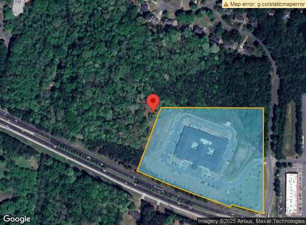
2701 Dallas Hwy Sw, Marietta, GA 30064
NEARBY LISTINGS FOR SALE OR LEASE
Property Detail
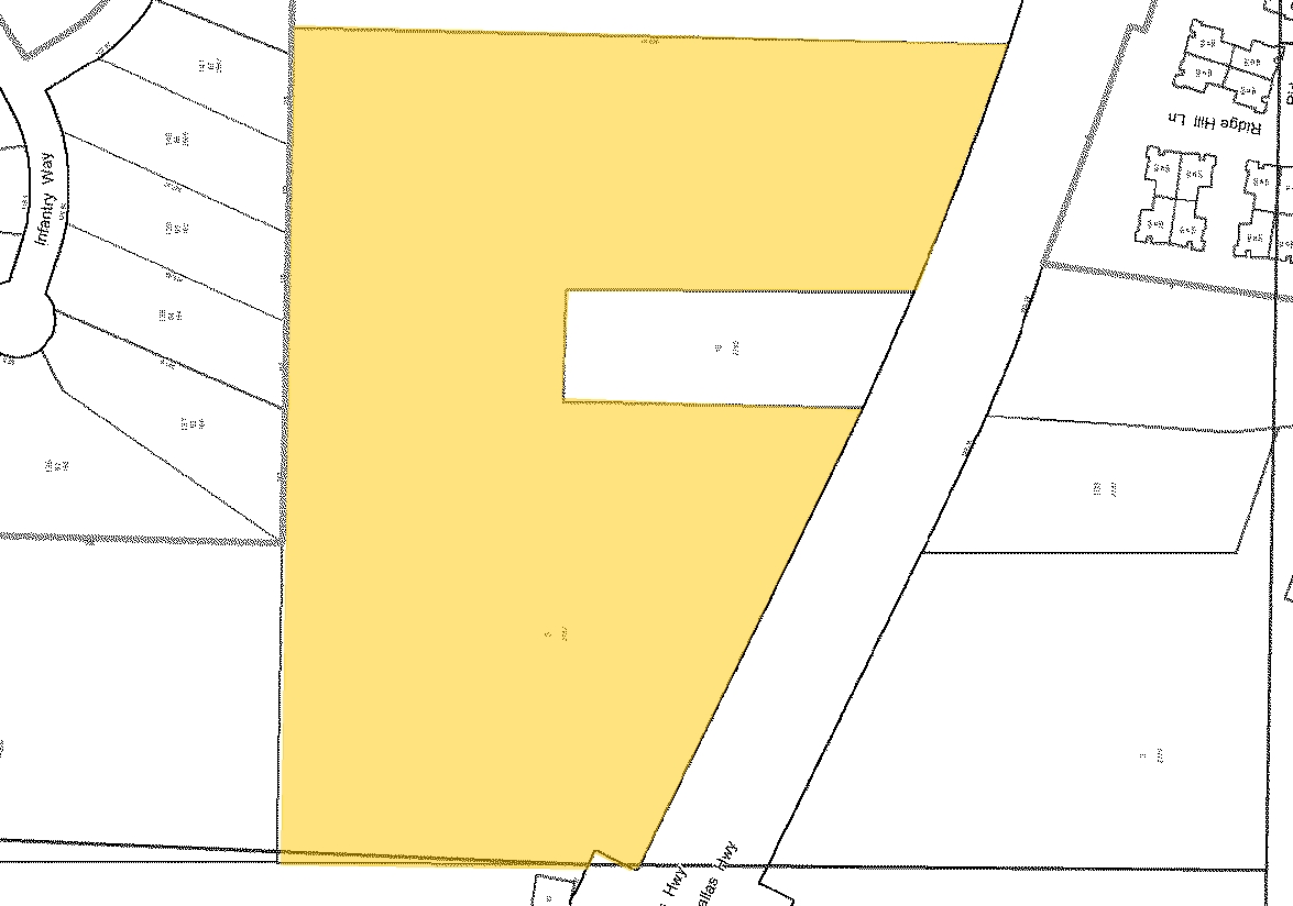
2701 Dallas Hwy Sw
20-0330-0-005-0
Homesite
Hospitalprivate
Cobb
AE
Georgia
13067C0084G
9.86 AC
2024
Kennesaw/Town Center
2024
Atlanta
030262
Atlanta-Sandy Springs-Roswell, GA
DEMOGRAPHICS near 2701 Dallas Hwy Sw
1 Mile
3 Mile
5 Mile
2024 Total Population
5,955
40,750
145,067
2029 Population
6,116
41,365
147,635
Pop Growth 2024-2029
+ 2.70%
+ 1.51%
+ 1.77%
Average Age
44
42
40
2024 Total Households
2,111
14,191
52,647
HH Growth 2024-2029
+ 2.79%
+ 1.52%
+ 1.88%
Median Household Inc
$113,999
$125,235
$97,562
Avg Household Size
2.70
2.80
2.70
2024 Avg HH Vehicles
2.00
2.00
2.00
Median Home Value
$391,094
$398,837
$367,699
Median Year Built
1994
1994
1993
Nearby Places
- Restaurants
- Banks
- Shops
- Fitness
- Groceries
PUBLIC TRANSPORTATION
AIRPORT
Hartsfield - Jackson Atlanta International
DRIVE
WALK
Distance
Hartsfield - Jackson Atlanta International
51 min
34.1 mi
Freight Ports
Georgia Ports - Savannah
DRIVE
WALK
Distance
Georgia Ports - Savannah
314 min
273.4 mi
Nearby Properties
Address
Land Use
TOTAL SIZE
Lot Size
Zoning
Address
Land Use
TOTAL SIZE
Lot Size
Zoning
264,394 SF
27.59 AC
NRC
Address
Land Use
TOTAL SIZE
Lot Size
Zoning
3,240 SF
24.28 AC
RSL
Address
Land Use
TOTAL SIZE
Lot Size
Zoning
82,012 SF
9.53 AC
Address
Land Use
TOTAL SIZE
Lot Size
Zoning
180,508 SF
21.88 AC
RM-8
Address
Land Use
TOTAL SIZE
Lot Size
Zoning
81,639 SF
15.82 AC
NRC
Address
Land Use
TOTAL SIZE
Lot Size
Zoning
108,435 SF
13.69 AC
NRC
Address
Land Use
TOTAL SIZE
Lot Size
Zoning
97,836 SF
8.88 AC
NRC/CRC
Address
Land Use
TOTAL SIZE
Lot Size
Zoning
7,095 SF
7.93 AC
OI
Address
Land Use
TOTAL SIZE
Lot Size
Zoning
2,430 SF
9.17 AC
RSL
Address
Land Use
TOTAL SIZE
Lot Size
Zoning
99,900 SF
2.69 AC
GC
Address
Land Use
TOTAL SIZE
Lot Size
Zoning
63,696 SF
159.75 AC
R-20
Address
Land Use
TOTAL SIZE
Lot Size
Zoning
134,362 SF
23.12 AC
CRC/WS
Address
Land Use
TOTAL SIZE
Lot Size
Zoning
124,231 SF
10.25 AC
CRC
Address
Land Use
TOTAL SIZE
Lot Size
Zoning
93,128 SF
9.45 AC
CRC
Address
Land Use
TOTAL SIZE
Lot Size
Zoning
41,412 SF
7.35 AC
NRC
Address
Land Use
TOTAL SIZE
Lot Size
Zoning
116,500 SF
23.77 AC
CRC/LRO
Address
Land Use
TOTAL SIZE
Lot Size
Zoning
78,312 SF
6.37 AC
NRC
Address
Land Use
TOTAL SIZE
Lot Size
Zoning
67,794 SF
4.85 AC
NRC
Address
Land Use
TOTAL SIZE
Lot Size
Zoning
24,384 SF
2.47 AC
CRC
Address
Land Use
TOTAL SIZE
Lot Size
Zoning
3,602 SF
2.57 AC
RSL
Address
Land Use
TOTAL SIZE
Lot Size
Zoning
18,577 SF
1.95 AC
NRC
Address
Land Use
TOTAL SIZE
Lot Size
Zoning
19,394 SF
1.84 AC
CRC/WS
Address
Land Use
TOTAL SIZE
Lot Size
Zoning
54.87 AC
R20
Address
Land Use
TOTAL SIZE
Lot Size
Zoning
1,524 SF
51.95 AC
R30
Address
Land Use
TOTAL SIZE
Lot Size
Zoning
18,703 SF
2.61 AC
CRC
Address
Land Use
TOTAL SIZE
Lot Size
Zoning
16,240 SF
1.73 AC
NRC
Address
Land Use
TOTAL SIZE
Lot Size
Zoning
38,674 SF
3.08 AC
NRC
Address
Land Use
TOTAL SIZE
Lot Size
Zoning
16,776 SF
2.65 AC
GC
Address
Land Use
TOTAL SIZE
Lot Size
Zoning
16,405 SF
1.91 AC
NRC
The World's #1 Commercial Real Estate Marketplace
Connect with us
© 2025 CoStar Group
The information above has been obtained from sources believed reliable. While we do not doubt its accuracy we have not verified it and make no guarantee, warranty or representation about it. It is your responsibility to independently confirm its accuracy and completeness. Any projections, opinions, assumptions, or estimates used are for example only and do not represent the current or future performance of the property. The value of this transaction to you depends on tax and other factors which should be evaluated by your tax, financial, and legal advisors. You and your advisors should conduct a careful, independent investigation of the property to determine to your satisfaction the suitability of the property for your needs.