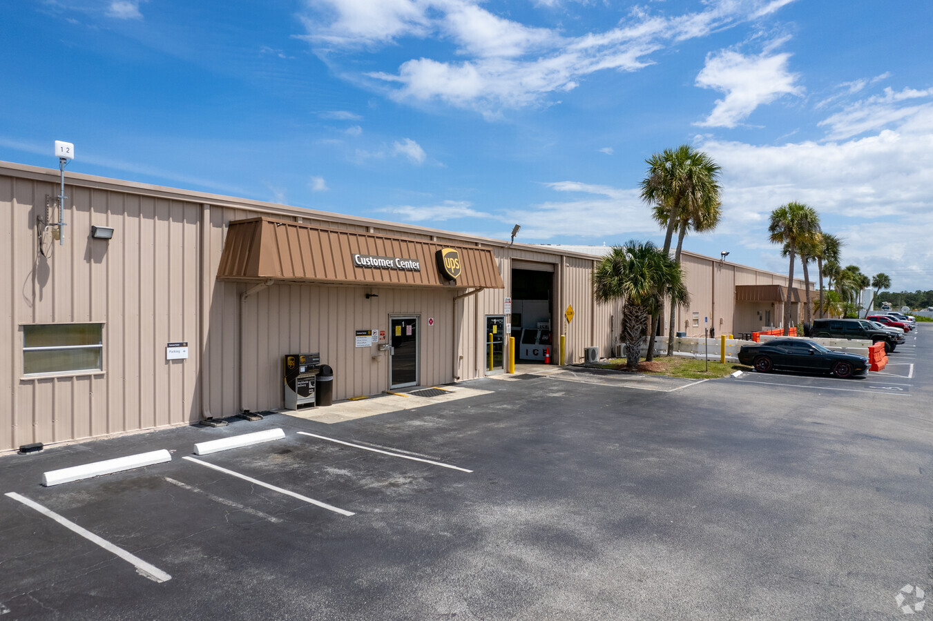
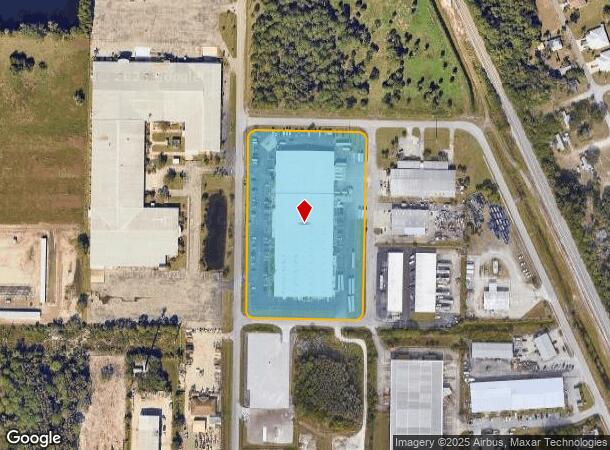
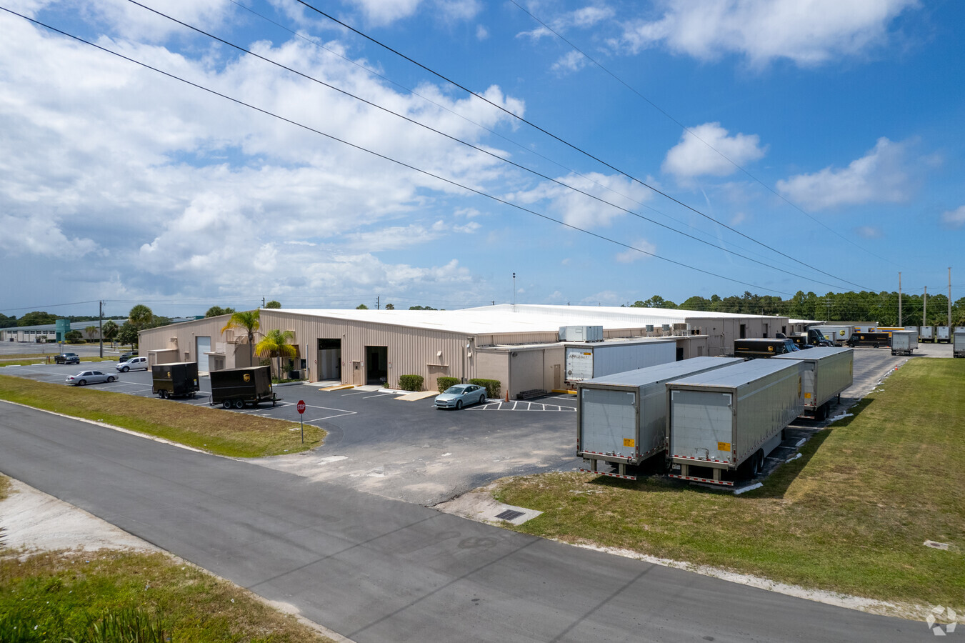
Property Record
2730 Kirby Cir Ne, Palm Bay, FL 32905

NEARBY LISTINGS FOR SALE OR LEASE
Property Detail
2730 Kirby Cir Ne
Palm Bay-Melbourne-Titusville, FL
Vincent W Kirby Industrial Park
28-37-14-77-00004.0-0001.00
VINCENT W KIRBY INDUSTRIAL PARK LOTS 1,2,3,4 BLK 4
Truckterminal
Brevard
X
Florida
12009C0612H
1
2023
6.01 AC
2023
Brevard County
065123
Orlando
103,198 SF
DEMOGRAPHICS near 2730 Kirby Cir Ne
1 Mile
3 Mile
5 Mile
2024 Total Population
3,897
54,423
114,095
2029 Population
4,380
59,946
125,460
Pop Growth 2024-2029
+ 12.39%
+ 10.15%
+ 9.96%
Average Age
48
45
45
2024 Total Households
1,885
24,312
49,382
HH Growth 2024-2029
+ 12.04%
+ 10.00%
+ 9.89%
Median Household Inc
$36,329
$46,532
$54,368
Avg Household Size
2.00
2.10
2.20
2024 Avg HH Vehicles
1.00
1.00
2.00
Median Home Value
$130,819
$221,795
$245,957
Median Year Built
1982
1984
1986
Nearby Places
- Restaurants
- Banks
- Shops
- Fitness
- Groceries
PUBLIC TRANSPORTATION
AIRPORT
Melbourne Orlando International
DRIVE
WALK
Distance
Melbourne Orlando International
18 min
7.2 mi
Freight Ports
Port Canaveral
DRIVE
WALK
Distance
Port Canaveral
57 min
30.9 mi
SALE & LEASE HISTORY
LISTING DATE
SALE/LEASE

May 12, 2021
For Sale
Dec 19, 2016
For Lease
Nearby Properties
Address
Land Use
TOTAL SIZE
Lot Size
Zoning
Address
Land Use
TOTAL SIZE
Lot Size
Zoning
1,695,838 SF
106.06 AC
Address
Land Use
TOTAL SIZE
Lot Size
Zoning
1,245,633 SF
110.73 AC
I1
Address
Land Use
TOTAL SIZE
Lot Size
Zoning
292,165 SF
24.39 AC
RM15
Address
Land Use
TOTAL SIZE
Lot Size
Zoning
368,326 SF
14.77 AC
C1
Address
Land Use
TOTAL SIZE
Lot Size
Zoning
393,147 SF
38.03 AC
RM20
Address
Land Use
TOTAL SIZE
Lot Size
Zoning
349,772 SF
16.27 AC
R2
Address
Land Use
TOTAL SIZE
Lot Size
Zoning
326,454 SF
14.20 AC
RM20
Address
Land Use
TOTAL SIZE
Lot Size
Zoning
24.95 AC
I1
Address
Land Use
TOTAL SIZE
Lot Size
Zoning
213,482 SF
1.27 AC
Address
Land Use
TOTAL SIZE
Lot Size
Zoning
39.75 AC
GML
Address
Land Use
TOTAL SIZE
Lot Size
Zoning
330,705 SF
25 AC
I1
Address
Land Use
TOTAL SIZE
Lot Size
Zoning
213,704 SF
0.57 AC
CC3
Address
Land Use
TOTAL SIZE
Lot Size
Zoning
203,448 SF
10.36 AC
C2
Address
Land Use
TOTAL SIZE
Lot Size
Zoning
201,017 SF
13.77 AC
RM20
Address
Land Use
TOTAL SIZE
Lot Size
Zoning
219,628 SF
29.84 AC
R2(6)
Address
Land Use
TOTAL SIZE
Lot Size
Zoning
184,447 SF
14.06 AC
R2
Address
Land Use
TOTAL SIZE
Lot Size
Zoning
309,725 SF
14.70 AC
R2 (6)
Address
Land Use
TOTAL SIZE
Lot Size
Zoning
225,833 SF
14.45 AC
R2
Address
Land Use
TOTAL SIZE
Lot Size
Zoning
219,361 SF
3.63 AC
CC3
Address
Land Use
TOTAL SIZE
Lot Size
Zoning
560,257 SF
118.47 AC
LI
Address
Land Use
TOTAL SIZE
Lot Size
Zoning
4,000 SF
12.20 AC
IU
Address
Land Use
TOTAL SIZE
Lot Size
Zoning
1,380 SF
21.87 AC
IU
Address
Land Use
TOTAL SIZE
Lot Size
Zoning
206,724 SF
11.74 AC
R3 (15)
Address
Land Use
TOTAL SIZE
Lot Size
Zoning
408,025 SF
24.10 AC
LI
Address
Land Use
TOTAL SIZE
Lot Size
Zoning
205,308 SF
11.04 AC
RM20
Address
Land Use
TOTAL SIZE
Lot Size
Zoning
379,638 SF
21.37 AC
Address
Land Use
TOTAL SIZE
Lot Size
Zoning
23,945 SF
142.13 AC
GML
Address
Land Use
TOTAL SIZE
Lot Size
Zoning
112,308 SF
3.02 AC
I1
Address
Land Use
TOTAL SIZE
Lot Size
Zoning
212,799 SF
17.41 AC
R3
Address
Land Use
TOTAL SIZE
Lot Size
Zoning
135,917 SF
2.92 AC
HC
The World's #1 Commercial Real Estate Marketplace
Connect with us
© 2025 CoStar Group
The information above has been obtained from sources believed reliable. While we do not doubt its accuracy we have not verified it and make no guarantee, warranty or representation about it. It is your responsibility to independently confirm its accuracy and completeness. Any projections, opinions, assumptions, or estimates used are for example only and do not represent the current or future performance of the property. The value of this transaction to you depends on tax and other factors which should be evaluated by your tax, financial, and legal advisors. You and your advisors should conduct a careful, independent investigation of the property to determine to your satisfaction the suitability of the property for your needs.