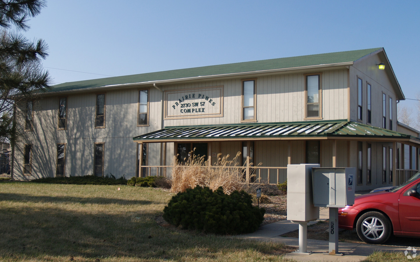
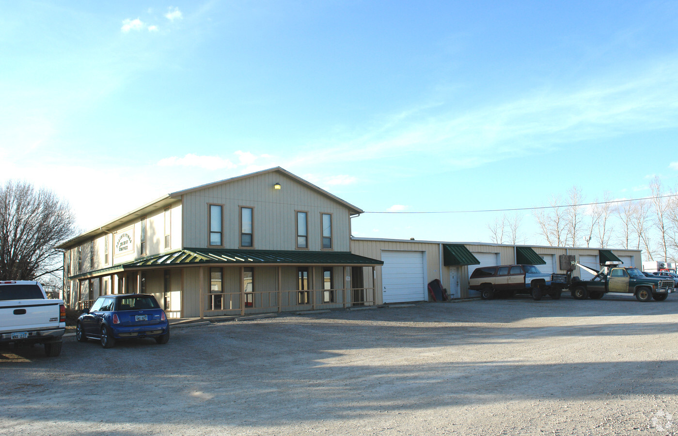
Property Record
2730 Sw 57Th St, Topeka, KS 66609
NEARBY LISTINGS FOR SALE OR LEASE
-
-
-
-
-
7215 SW Topeka Blvd., Bldg. 2703, Topeka, KS 66619
Topeka, KS 66619
$2.25 SF/YR
77,600 SF
Industrial
-
-
-
View all Topeka listings for lease on LoopNet.com
Property Detail
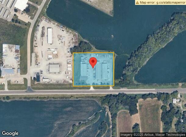
2730 Sw 57Th St
Topeka, KS
Southwest Ind Plaza No 2
147-35-0-00-01-006-000
SOUTHWEST IND PLAZA NO 2 , BLOCK B , LOT 1 , BLK B LOT 1 SOUTHWEST INDUSTRIAL PL AZA SUB #2 SECTION 35 TOWNSHIP 12 RANGE 15
Commercialnec
Shawnee
X
Kansas
20177C0305E
1
2023
3.10 AC
2023
Topeka
003702
Kansas City
24,660 SF
DEMOGRAPHICS near 2730 Sw 57Th St
1 Mile
3 Mile
5 Mile
2024 Total Population
229
17,286
68,772
2029 Population
230
17,147
68,001
Pop Growth 2024-2029
+ 0.44%
(0.80%)
(1.12%)
Average Age
43
39
40
2024 Total Households
85
6,845
28,671
HH Growth 2024-2029
+ 1.18%
(0.75%)
(1.21%)
Median Household Inc
$94,564
$56,642
$55,754
Avg Household Size
2.70
2.40
2.30
2024 Avg HH Vehicles
3.00
2.00
2.00
Median Home Value
$291,666
$156,099
$144,511
Median Year Built
1987
1978
1972
Nearby Places
- Restaurants
- Banks
- Shops
- Fitness
- Groceries
PUBLIC TRANSPORTATION
COMMUTER RAIL
Topeka Amtrak Station (Southwest Chief - Amtrak)
DRIVE
WALK
Distance
Topeka Amtrak Station (Southwest Chief - Amtrak)
14 min
8.3 mi
Freight Ports
Tulsa Port Of Catoosa
DRIVE
WALK
Distance
Tulsa Port Of Catoosa
266 min
219.3 mi
SALE & LEASE HISTORY
LISTING DATE
SALE/LEASE

Mar 28, 2019
For Lease
Nearby Properties
Address
Land Use
TOTAL SIZE
Lot Size
Zoning
Address
Land Use
TOTAL SIZE
Lot Size
Zoning
194.03 AC
I2
Address
Land Use
TOTAL SIZE
Lot Size
Zoning
42.18 AC
I2
Address
Land Use
TOTAL SIZE
Lot Size
Zoning
189,886 SF
37.38 AC
RR1
Address
Land Use
TOTAL SIZE
Lot Size
Zoning
797,582 SF
384.32 AC
I1,I2
Address
Land Use
TOTAL SIZE
Lot Size
Zoning
103,285 SF
16.99 AC
I1,PUD
Address
Land Use
TOTAL SIZE
Lot Size
Zoning
1,351,980 SF
141.63 AC
I1
Address
Land Use
TOTAL SIZE
Lot Size
Zoning
176,935 SF
37.83 AC
RR1
Address
Land Use
TOTAL SIZE
Lot Size
Zoning
602,448 SF
43.68 AC
I1
Address
Land Use
TOTAL SIZE
Lot Size
Zoning
1,250 SF
630.34 AC
RR1
Address
Land Use
TOTAL SIZE
Lot Size
Zoning
156,628 SF
44.05 AC
I1
Address
Land Use
TOTAL SIZE
Lot Size
Zoning
465,600 SF
52.91 AC
I1
Address
Land Use
TOTAL SIZE
Lot Size
Zoning
40,321 SF
5.69 AC
I1
Address
Land Use
TOTAL SIZE
Lot Size
Zoning
93,571 SF
5.58 AC
PUD
Address
Land Use
TOTAL SIZE
Lot Size
Zoning
56,485 SF
11.58 AC
I1
Address
Land Use
TOTAL SIZE
Lot Size
Zoning
188,358 SF
183.64 AC
I1,RR1
Address
Land Use
TOTAL SIZE
Lot Size
Zoning
74,659 SF
15.24 AC
RR1
Address
Land Use
TOTAL SIZE
Lot Size
Zoning
4.80 AC
Address
Land Use
TOTAL SIZE
Lot Size
Zoning
64,248 SF
13.78 AC
RR1
Address
Land Use
TOTAL SIZE
Lot Size
Zoning
53,815 SF
15.40 AC
RR1
Address
Land Use
TOTAL SIZE
Lot Size
Zoning
207,235 SF
22.74 AC
C3
Address
Land Use
TOTAL SIZE
Lot Size
Zoning
23,026 SF
8.62 AC
R1,RR1
Address
Land Use
TOTAL SIZE
Lot Size
Zoning
134,915 SF
20 AC
I1
Address
Land Use
TOTAL SIZE
Lot Size
Zoning
35,832 SF
7.55 AC
R1
Address
Land Use
TOTAL SIZE
Lot Size
Zoning
100,822 SF
8.50 AC
C4
Address
Land Use
TOTAL SIZE
Lot Size
Zoning
28,158 SF
12.12 AC
PUD,R1
Address
Land Use
TOTAL SIZE
Lot Size
Zoning
417.49 AC
RR1
Address
Land Use
TOTAL SIZE
Lot Size
Zoning
577,341 SF
152.58 AC
I2
Address
Land Use
TOTAL SIZE
Lot Size
Zoning
1,253,081 SF
74.88 AC
I1
Address
Land Use
TOTAL SIZE
Lot Size
Zoning
18.56 AC
I1
Address
Land Use
TOTAL SIZE
Lot Size
Zoning
3,525 SF
1.89 AC
C3
The World's #1 Commercial Real Estate Marketplace
Connect with us
© 2025 CoStar Group
The information above has been obtained from sources believed reliable. While we do not doubt its accuracy we have not verified it and make no guarantee, warranty or representation about it. It is your responsibility to independently confirm its accuracy and completeness. Any projections, opinions, assumptions, or estimates used are for example only and do not represent the current or future performance of the property. The value of this transaction to you depends on tax and other factors which should be evaluated by your tax, financial, and legal advisors. You and your advisors should conduct a careful, independent investigation of the property to determine to your satisfaction the suitability of the property for your needs.