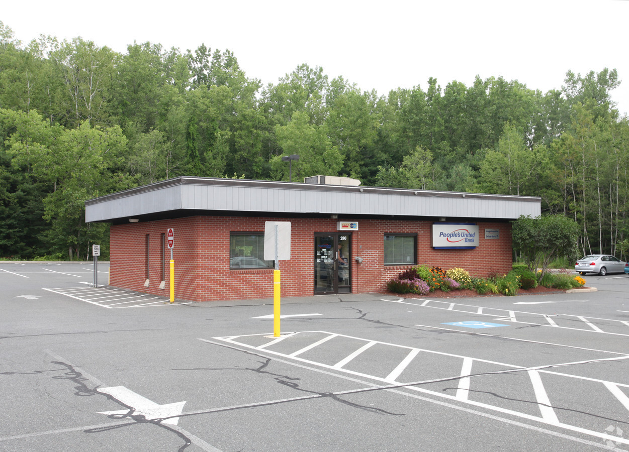
Property Record
274 Mohawk Trl, Greenfield, MA 01301
NEARBY LISTINGS FOR SALE OR LEASE
Property Detail
274 Mohawk Trl
GREE-000025R-000035
Franklin
Commercialnec
Massachusetts
2024
14.46 AC
2024
Franklin County
041000
Hartford
107,028 SF
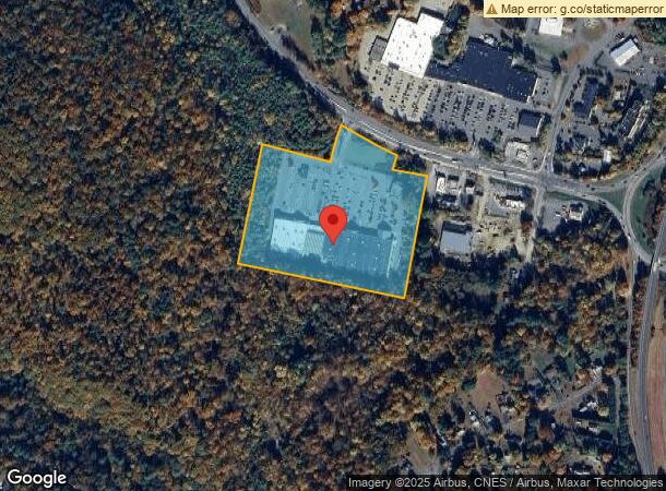
Greenfield Town, MA
DEMOGRAPHICS near 274 Mohawk Trl
1 Mile
3 Mile
5 Mile
2024 Total Population
2,334
16,528
26,142
2029 Population
2,324
16,439
25,938
Pop Growth 2024-2029
(0.43%)
(0.54%)
(0.78%)
Average Age
42
45
45
2024 Total Households
899
7,616
11,835
HH Growth 2024-2029
0.00%
(0.43%)
(0.71%)
Median Household Inc
$38,733
$55,954
$62,066
Avg Household Size
2.10
2.00
2.10
2024 Avg HH Vehicles
1.00
1.00
2.00
Median Home Value
$187,568
$240,959
$254,025
Median Year Built
1960
1948
1950
Nearby Places
- Restaurants
- Banks
- Shops
- Fitness
- Groceries
PUBLIC TRANSPORTATION
COMMUTER RAIL
Greenfield Amtrak Station (Valley Flyer - Amtrak, Vermonter - Amtrak)
DRIVE
WALK
Distance
Greenfield Amtrak Station (Valley Flyer - Amtrak, Vermonter - Amtrak)
4 min
1.8 mi
Freight Ports
Albany, NY Port
DRIVE
WALK
Distance
Albany, NY Port
135 min
111.4 mi
Nearby Properties
Address
Land Use
TOTAL SIZE
Lot Size
Zoning
Address
Land Use
TOTAL SIZE
Lot Size
Zoning
286,210 SF
85 AC
RA
Address
Land Use
TOTAL SIZE
Lot Size
Zoning
165,410 SF
26 AC
RA
Address
Land Use
TOTAL SIZE
Lot Size
Zoning
160,366 SF
56.38 AC
RB
Address
Land Use
TOTAL SIZE
Lot Size
Zoning
316,508 SF
80.01 AC
RB
Address
Land Use
TOTAL SIZE
Lot Size
Zoning
159,991 SF
44 AC
RB
Address
Land Use
TOTAL SIZE
Lot Size
Zoning
213,062 SF
6.50 AC
H
Address
Land Use
TOTAL SIZE
Lot Size
Zoning
173,646 SF
21.77 AC
RA
Address
Land Use
TOTAL SIZE
Lot Size
Zoning
158,638 SF
37.60 AC
RA
Address
Land Use
TOTAL SIZE
Lot Size
Zoning
97,926 SF
8.65 AC
GC
Address
Land Use
TOTAL SIZE
Lot Size
Zoning
198.76 AC
CII
Address
Land Use
TOTAL SIZE
Lot Size
Zoning
117,897 SF
6.99 AC
H
Address
Land Use
TOTAL SIZE
Lot Size
Zoning
42,076 SF
3.49 AC
GI
Address
Land Use
TOTAL SIZE
Lot Size
Zoning
95,712 SF
12.08 AC
RA
Address
Land Use
TOTAL SIZE
Lot Size
Zoning
132,622 SF
16.91 AC
O
Address
Land Use
TOTAL SIZE
Lot Size
Zoning
3.90 AC
RA
Address
Land Use
TOTAL SIZE
Lot Size
Zoning
195,199 SF
16.37 AC
RA
Address
Land Use
TOTAL SIZE
Lot Size
Zoning
94,910 SF
1.79 AC
SR
Address
Land Use
TOTAL SIZE
Lot Size
Zoning
41,670 SF
1.48 AC
GC
Address
Land Use
TOTAL SIZE
Lot Size
Zoning
4 AC
RA
Address
Land Use
TOTAL SIZE
Lot Size
Zoning
67,166 SF
5.13 AC
GC
Address
Land Use
TOTAL SIZE
Lot Size
Zoning
125,640 SF
4.98 AC
CC
Address
Land Use
TOTAL SIZE
Lot Size
Zoning
17,558 SF
60 AC
ID
Address
Land Use
TOTAL SIZE
Lot Size
Zoning
73,648 SF
2.10 AC
SR
Address
Land Use
TOTAL SIZE
Lot Size
Zoning
69,024 SF
6.28 AC
GC
Address
Land Use
TOTAL SIZE
Lot Size
Zoning
72,456 SF
5.80 AC
RA
Address
Land Use
TOTAL SIZE
Lot Size
Zoning
58,330 SF
1.53 AC
LC
Address
Land Use
TOTAL SIZE
Lot Size
Zoning
66,257 SF
4.17 AC
GI
Address
Land Use
TOTAL SIZE
Lot Size
Zoning
57,977 SF
4.66 AC
GC
Address
Land Use
TOTAL SIZE
Lot Size
Zoning
75,368 SF
22.23 AC
RA
The World's #1 Commercial Real Estate Marketplace
Connect with us
© 2025 CoStar Group
The information above has been obtained from sources believed reliable. While we do not doubt its accuracy we have not verified it and make no guarantee, warranty or representation about it. It is your responsibility to independently confirm its accuracy and completeness. Any projections, opinions, assumptions, or estimates used are for example only and do not represent the current or future performance of the property. The value of this transaction to you depends on tax and other factors which should be evaluated by your tax, financial, and legal advisors. You and your advisors should conduct a careful, independent investigation of the property to determine to your satisfaction the suitability of the property for your needs.