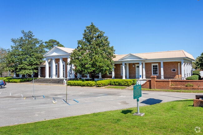
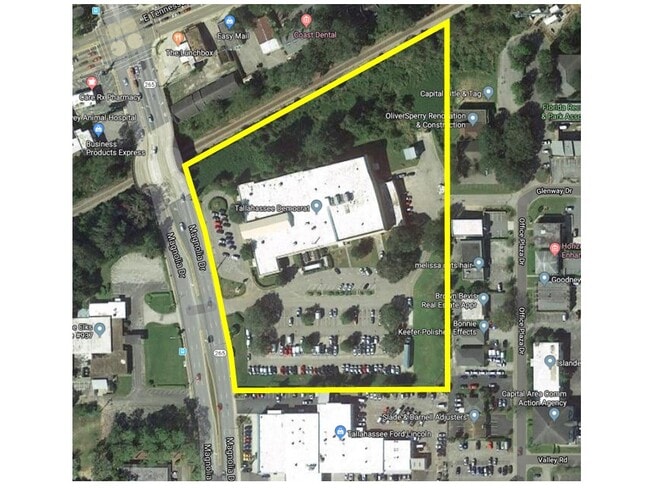
Property Record
277 N Magnolia Dr, Tallahassee, FL 32301


NEARBY LISTINGS FOR SALE OR LEASE
Property Detail
277 N Magnolia Dr
11-31-20-047-000.0
Unplatted Land
Warehouse
SECTION 31 T1N R1E & SECTION 32 T1N R1E OR 5516/610 OR 165/647
X
Leon
12073C0284F
Florida
2025
5.16 AC
2025
East Tallahassee
000903
Tallahassee
106,574 SF
Tallahassee, FL
DEMOGRAPHICS near 277 N Magnolia Dr
1 Mile
3 Mile
5 Mile
2024 Total Population
6,795
86,964
177,016
2029 Population
7,238
91,338
185,865
Pop Growth 2024-2029
+ 6.52%
+ 5.03%
+ 5.00%
Average Age
40
34
35
2024 Total Households
3,565
37,956
77,199
HH Growth 2024-2029
+ 6.73%
+ 5.51%
+ 5.22%
Median Household Inc
$65,649
$48,302
$49,259
Avg Household Size
1.90
2.00
2.10
2024 Avg HH Vehicles
1.00
2.00
2.00
Median Home Value
$288,648
$230,864
$227,496
Median Year Built
1964
1980
1985
Nearby Places
Map Layers
Map Styles
 Street
 Aerial
- Restaurants
- Banks
- Shops
- Fitness
- Groceries
PUBLIC TRANSPORTATION
AIRPORT
Tallahassee International
DRIVE
WALK
Distance
Tallahassee International
17 min
8.6 mi
SALE & LEASE HISTORY
LISTING DATE
SALE/LEASE

Jan 27, 2020
For Sale
Aug 02, 2017
For Lease
Nearby Properties
Address
Land Use
TOTAL SIZE
Lot Size
Zoning
Address
Land Use
TOTAL SIZE
Lot Size
Zoning
1,635,322 SF
29.76 AC
UT
Address
Land Use
TOTAL SIZE
Lot Size
Zoning
6,686,582 SF
86.50 AC
UT
Address
Land Use
TOTAL SIZE
Lot Size
Zoning
4,577,528 SF
108.47 AC
UT
Address
Land Use
TOTAL SIZE
Lot Size
Zoning
3,647,358 SF
49.17 AC
UT
Address
Land Use
TOTAL SIZE
Lot Size
Zoning
3,882,850 SF
22.64 AC
CM
Address
Land Use
TOTAL SIZE
Lot Size
Zoning
2,330,342 SF
69.26 AC
UT
Address
Land Use
TOTAL SIZE
Lot Size
Zoning
807,298 SF
145.81 AC
UT
Address
Land Use
TOTAL SIZE
Lot Size
Zoning
2,312,757 SF
10.87 AC
CCPD
Address
Land Use
TOTAL SIZE
Lot Size
Zoning
479,864 SF
19.01 AC
DI
Address
Land Use
TOTAL SIZE
Lot Size
Zoning
1,545,007 SF
44.85 AC
UT
Address
Land Use
TOTAL SIZE
Lot Size
Zoning
859,455 SF
3.79 AC
CU45
Address
Land Use
TOTAL SIZE
Lot Size
Zoning
367,978 SF
2.52 AC
RO
Address
Land Use
TOTAL SIZE
Lot Size
Zoning
704,857 SF
4.95 AC
UT
Address
Land Use
TOTAL SIZE
Lot Size
Zoning
361,804 SF
14.17 AC
CM
Address
Land Use
TOTAL SIZE
Lot Size
Zoning
806,710 SF
2.96 AC
CCPD
Address
Land Use
TOTAL SIZE
Lot Size
Zoning
664,514 SF
2.49 AC
UT
Address
Land Use
TOTAL SIZE
Lot Size
Zoning
369,383 SF
4.51 AC
UT
Address
Land Use
TOTAL SIZE
Lot Size
Zoning
577,345 SF
30.63 AC
Address
Land Use
TOTAL SIZE
Lot Size
Zoning
899,528 SF
3.34 AC
CCPD
Address
Land Use
TOTAL SIZE
Lot Size
Zoning
846,072 SF
166.39 AC
R1
Address
Land Use
TOTAL SIZE
Lot Size
Zoning
307,884 SF
2.97 AC
CCPD
Address
Land Use
TOTAL SIZE
Lot Size
Zoning
200,705 SF
31.57 AC
Address
Land Use
TOTAL SIZE
Lot Size
Zoning
616,484 SF
30.15 AC
UT
Address
Land Use
TOTAL SIZE
Lot Size
Zoning
756,595 SF
18.35 AC
Address
Land Use
TOTAL SIZE
Lot Size
Zoning
428,190 SF
2.24 AC
CCPD
Address
Land Use
TOTAL SIZE
Lot Size
Zoning
452,530 SF
10.30 AC
UV
Address
Land Use
TOTAL SIZE
Lot Size
Zoning
756,294 SF
20.19 AC
OR3
Address
Land Use
TOTAL SIZE
Lot Size
Zoning
249,612 SF
1.67 AC
CCPD
Address
Land Use
TOTAL SIZE
Lot Size
Zoning
494,919 SF
20.12 AC
R4
Address
Land Use
TOTAL SIZE
Lot Size
Zoning
456,149 SF
22.50 AC
OR3
The World's #1 Commercial Real Estate Marketplace
Connect with us
© 2026 CoStar Group
The information above has been obtained from sources believed reliable. While we do not doubt its accuracy we have not verified it and make no guarantee, warranty or representation about it. It is your responsibility to independently confirm its accuracy and completeness. Any projections, opinions, assumptions, or estimates used are for example only and do not represent the current or future performance of the property. The value of this transaction to you depends on tax and other factors which should be evaluated by your tax, financial, and legal advisors. You and your advisors should conduct a careful, independent investigation of the property to determine to your satisfaction the suitability of the property for your needs.