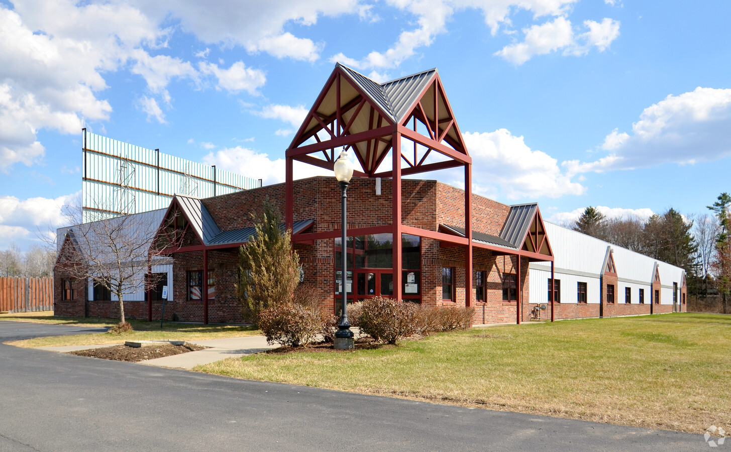
Property Record
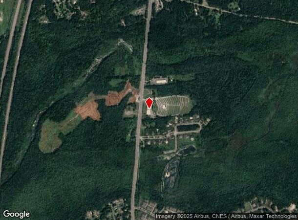
2775 Route 9, Ballston Spa, NY 12020
NEARBY LISTINGS FOR SALE OR LEASE
Property Detail
2775 Route 9
Albany-Schenectady-Troy, NY
Saratoga
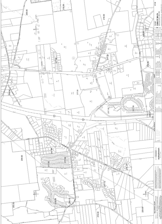
414089-217-000-0002-051-002-0000
New York
Storebuilding
51.002
2016
2.65 AC
2023
Saratoga County
061800
Albany/Schenectady/Troy
21,089 SF
DEMOGRAPHICS near 2775 Route 9
1 Mile
3 Mile
5 Mile
2024 Total Population
1,375
13,885
46,517
2029 Population
1,453
14,559
48,751
Pop Growth 2024-2029
+ 5.67%
+ 4.85%
+ 4.80%
Average Age
44
43
43
2024 Total Households
623
6,239
20,440
HH Growth 2024-2029
+ 5.78%
+ 4.90%
+ 4.86%
Median Household Inc
$95,746
$96,768
$93,042
Avg Household Size
2.20
2.20
2.20
2024 Avg HH Vehicles
2.00
2.00
2.00
Median Home Value
$374,285
$290,025
$310,232
Median Year Built
1994
1988
1989
Nearby Places
- Restaurants
- Banks
- Shops
- Fitness
- Groceries
PUBLIC TRANSPORTATION
COMMUTER RAIL
Saratoga Springs Amtrak Station (Adirondack - Amtrak, Ethan Allen Express - Amtrak)
DRIVE
WALK
Distance
Saratoga Springs Amtrak Station (Adirondack - Amtrak, Ethan Allen Express - Amtrak)
12 min
6.9 mi
AIRPORT
Albany International
DRIVE
WALK
Distance
Albany International
28 min
20.4 mi
Freight Ports
Albany, NY Port
DRIVE
WALK
Distance
Albany, NY Port
44 min
30.9 mi
Nearby Properties
Address
Land Use
TOTAL SIZE
Lot Size
Zoning
Address
Land Use
TOTAL SIZE
Lot Size
Zoning
1,491,280 SF
163.04 AC
PDD
Address
Land Use
TOTAL SIZE
Lot Size
Zoning
11,884 SF
25.60 AC
RA-3
Address
Land Use
TOTAL SIZE
Lot Size
Zoning
310,018 SF
58.71 AC
PDD
Address
Land Use
TOTAL SIZE
Lot Size
Zoning
79,653 SF
8.84 AC
Address
Land Use
TOTAL SIZE
Lot Size
Zoning
10,322 SF
29.43 AC
PDD
Address
Land Use
TOTAL SIZE
Lot Size
Zoning
12,854 SF
25.44 AC
MU
Address
Land Use
TOTAL SIZE
Lot Size
Zoning
43,856 SF
259.97 AC
C3
Address
Land Use
TOTAL SIZE
Lot Size
Zoning
128,767 SF
16.51 AC
PDD
Address
Land Use
TOTAL SIZE
Lot Size
Zoning
7,300 SF
524.89 AC
A
Address
Land Use
TOTAL SIZE
Lot Size
Zoning
1,377 SF
75.07 AC
Address
Land Use
TOTAL SIZE
Lot Size
Zoning
59,652 SF
PDD
Address
Land Use
TOTAL SIZE
Lot Size
Zoning
40,569 SF
7.90 AC
PDD
Address
Land Use
TOTAL SIZE
Lot Size
Zoning
102,726 SF
0.01 AC
C3
Address
Land Use
TOTAL SIZE
Lot Size
Zoning
86,475 SF
7.18 AC
PDD
Address
Land Use
TOTAL SIZE
Lot Size
Zoning
10,700 SF
36.54 AC
DN-4
Address
Land Use
TOTAL SIZE
Lot Size
Zoning
120,000 SF
PDD
Address
Land Use
TOTAL SIZE
Lot Size
Zoning
12,923 SF
3.92 AC
PDD
Address
Land Use
TOTAL SIZE
Lot Size
Zoning
58,692 SF
2.06 AC
PDD
Address
Land Use
TOTAL SIZE
Lot Size
Zoning
23,351 SF
127.22 AC
PDD
Address
Land Use
TOTAL SIZE
Lot Size
Zoning
61,786 SF
0.78 AC
PDD
Address
Land Use
TOTAL SIZE
Lot Size
Zoning
600 SF
50.28 AC
R3
Address
Land Use
TOTAL SIZE
Lot Size
Zoning
53,752 SF
9.68 AC
C2&RT67
Address
Land Use
TOTAL SIZE
Lot Size
Zoning
23,280 SF
25.19 AC
PDD
Address
Land Use
TOTAL SIZE
Lot Size
Zoning
58,334 SF
7.96 AC
PDD
Address
Land Use
TOTAL SIZE
Lot Size
Zoning
32,344 SF
6.22 AC
PDD
Address
Land Use
TOTAL SIZE
Lot Size
Zoning
81,464 SF
39.81 AC
PDD
Address
Land Use
TOTAL SIZE
Lot Size
Zoning
79,786 SF
4.93 AC
PDD
Address
Land Use
TOTAL SIZE
Lot Size
Zoning
31,225 SF
4.38 AC
PDD
Address
Land Use
TOTAL SIZE
Lot Size
Zoning
13,468 SF
1.87 AC
Address
Land Use
TOTAL SIZE
Lot Size
Zoning
83,518 SF
4.61 AC
The World's #1 Commercial Real Estate Marketplace
Connect with us
© 2025 CoStar Group
The information above has been obtained from sources believed reliable. While we do not doubt its accuracy we have not verified it and make no guarantee, warranty or representation about it. It is your responsibility to independently confirm its accuracy and completeness. Any projections, opinions, assumptions, or estimates used are for example only and do not represent the current or future performance of the property. The value of this transaction to you depends on tax and other factors which should be evaluated by your tax, financial, and legal advisors. You and your advisors should conduct a careful, independent investigation of the property to determine to your satisfaction the suitability of the property for your needs.