Property Record
2780 Durham Rd, Roxboro, NC 27573

NEARBY LISTINGS FOR SALE OR LEASE
Property Detail
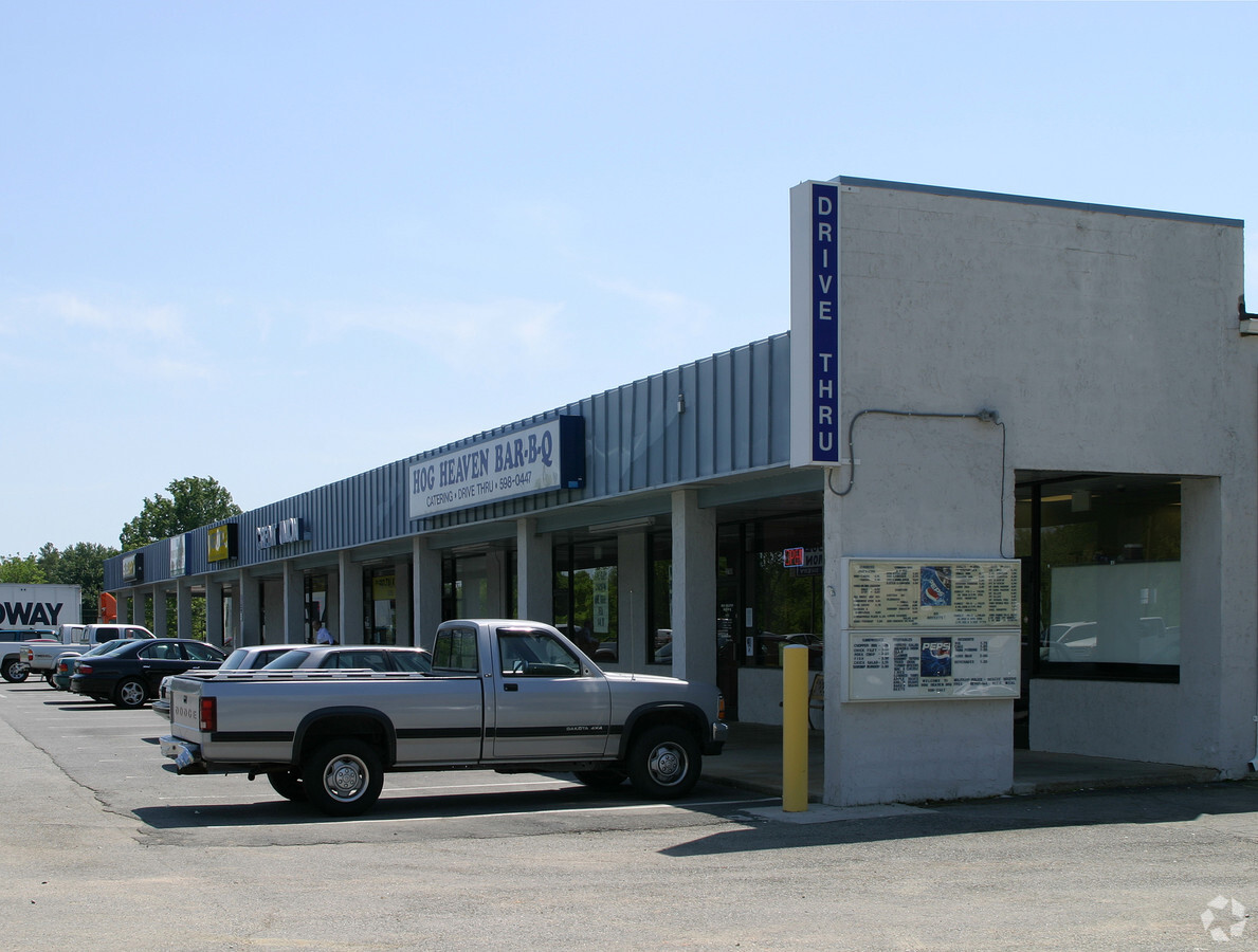
2780 Durham Rd
107-2
FOODLION/4.48 ACS
Supermarket
Person
X
North Carolina
3720090400K
1.56 AC
2023
Person County
2024
Raleigh/Durham
920601
Durham-Chapel Hill, NC
32,808 SF
DEMOGRAPHICS near 2780 Durham Rd
1 Mile
3 Mile
5 Mile
2024 Total Population
1,141
8,524
17,581
2029 Population
1,181
8,781
18,073
Pop Growth 2024-2029
+ 3.51%
+ 3.02%
+ 2.80%
Average Age
41
42
42
2024 Total Households
488
3,630
7,365
HH Growth 2024-2029
+ 3.48%
+ 2.98%
+ 2.78%
Median Household Inc
$36,250
$39,999
$45,569
Avg Household Size
2.30
2.30
2.30
2024 Avg HH Vehicles
2.00
2.00
2.00
Median Home Value
$106,471
$136,474
$147,047
Median Year Built
1984
1980
1980
Nearby Places
- Restaurants
- Banks
- Shops
- Fitness
- Groceries
SALE & LEASE HISTORY
LISTING DATE
SALE/LEASE

Sep 25, 2016
For Lease
Nearby Properties
Address
Land Use
TOTAL SIZE
Lot Size
Zoning
Address
Land Use
TOTAL SIZE
Lot Size
Zoning
153,823 SF
19.76 AC
Address
Land Use
TOTAL SIZE
Lot Size
Zoning
71,339 SF
6.65 AC
RC
Address
Land Use
TOTAL SIZE
Lot Size
Zoning
105,170 SF
17.68 AC
Address
Land Use
TOTAL SIZE
Lot Size
Zoning
89,169 SF
17.44 AC
Address
Land Use
TOTAL SIZE
Lot Size
Zoning
289,445 SF
40.62 AC
Address
Land Use
TOTAL SIZE
Lot Size
Zoning
43,101 SF
20.63 AC
Address
Land Use
TOTAL SIZE
Lot Size
Zoning
27,080 SF
3 AC
Address
Land Use
TOTAL SIZE
Lot Size
Zoning
86,968 SF
11.53 AC
Address
Land Use
TOTAL SIZE
Lot Size
Zoning
14,595 SF
20 AC
Address
Land Use
TOTAL SIZE
Lot Size
Zoning
9,464 SF
0.42 AC
Address
Land Use
TOTAL SIZE
Lot Size
Zoning
23,813 SF
0.42 AC
Address
Land Use
TOTAL SIZE
Lot Size
Zoning
18,556 SF
2.59 AC
Address
Land Use
TOTAL SIZE
Lot Size
Zoning
41,229 SF
1.79 AC
Address
Land Use
TOTAL SIZE
Lot Size
Zoning
40,784 SF
0.96 AC
Address
Land Use
TOTAL SIZE
Lot Size
Zoning
31,600 SF
11.50 AC
Address
Land Use
TOTAL SIZE
Lot Size
Zoning
32,728 SF
2.71 AC
Address
Land Use
TOTAL SIZE
Lot Size
Zoning
21,120 SF
2.10 AC
Address
Land Use
TOTAL SIZE
Lot Size
Zoning
1,100 SF
10 AC
Address
Land Use
TOTAL SIZE
Lot Size
Zoning
29,100 SF
3.38 AC
Address
Land Use
TOTAL SIZE
Lot Size
Zoning
7,305 SF
4.41 AC
Address
Land Use
TOTAL SIZE
Lot Size
Zoning
1,784 SF
7.18 AC
Address
Land Use
TOTAL SIZE
Lot Size
Zoning
18,550 SF
1.32 AC
Address
Land Use
TOTAL SIZE
Lot Size
Zoning
84,000 SF
31.77 AC
Address
Land Use
TOTAL SIZE
Lot Size
Zoning
8,901 SF
15.71 AC
Address
Land Use
TOTAL SIZE
Lot Size
Zoning
16,330 SF
2.29 AC
Address
Land Use
TOTAL SIZE
Lot Size
Zoning
30,288 SF
3.23 AC
Address
Land Use
TOTAL SIZE
Lot Size
Zoning
5,560 SF
10 AC
Address
Land Use
TOTAL SIZE
Lot Size
Zoning
2,520 SF
4.50 AC
Address
Land Use
TOTAL SIZE
Lot Size
Zoning
15,924 SF
0.11 AC
The World's #1 Commercial Real Estate Marketplace
Connect with us
© 2025 CoStar Group
The information above has been obtained from sources believed reliable. While we do not doubt its accuracy we have not verified it and make no guarantee, warranty or representation about it. It is your responsibility to independently confirm its accuracy and completeness. Any projections, opinions, assumptions, or estimates used are for example only and do not represent the current or future performance of the property. The value of this transaction to you depends on tax and other factors which should be evaluated by your tax, financial, and legal advisors. You and your advisors should conduct a careful, independent investigation of the property to determine to your satisfaction the suitability of the property for your needs.