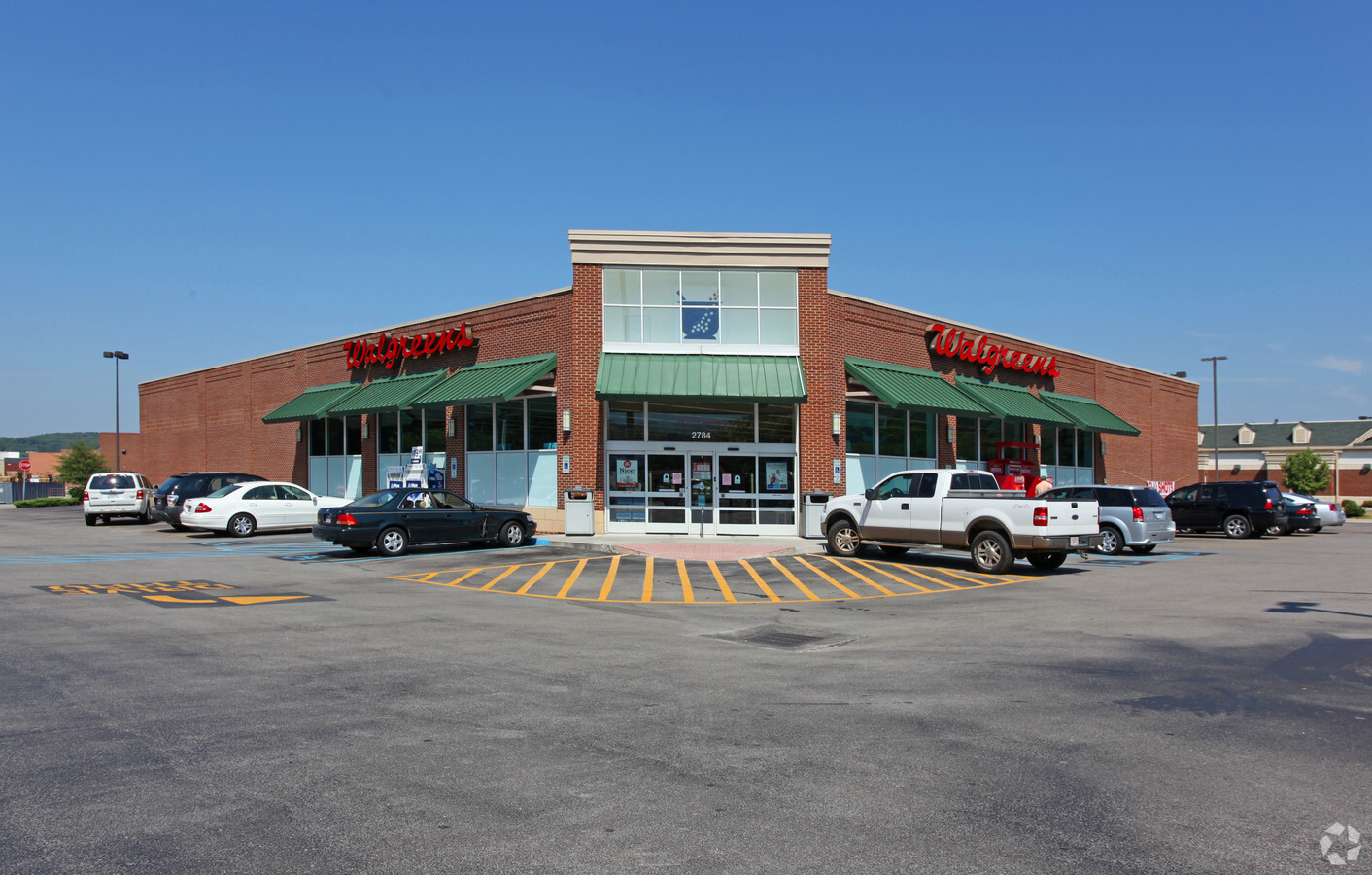
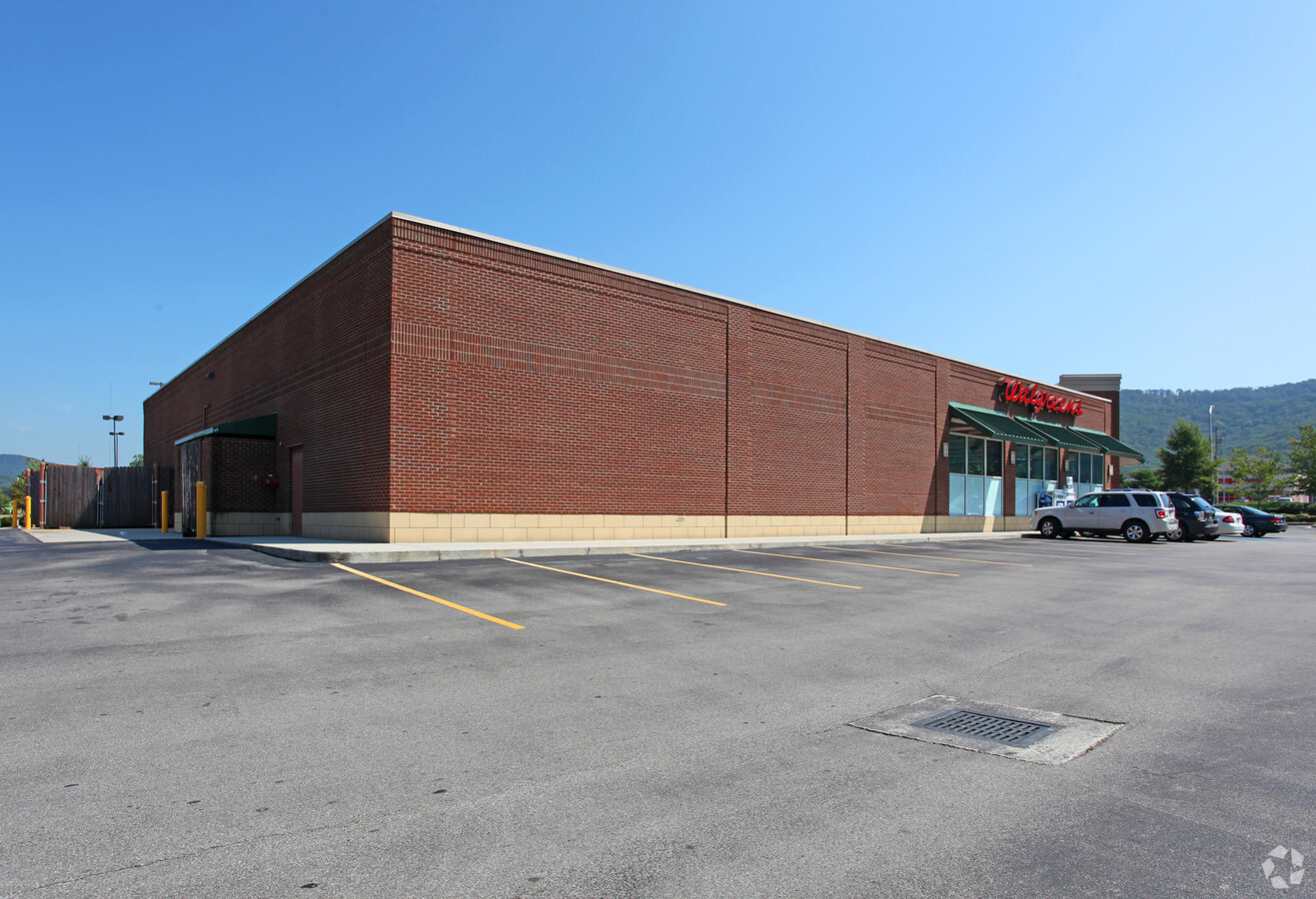
Property Record
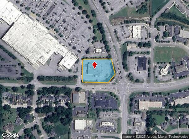
2784 Carl T Jones Dr Se, Huntsville, AL 35802
NEARBY LISTINGS FOR SALE OR LEASE
Property Detail
2784 Carl T Jones Dr Se
Huntsville, AL
Valley Bend Condo 6Th Amend To
18-04-20-0-001-001.054
UNIT 1 VALLEY BEND A CONDOMINIUM SIXTH AMENDMENT PB # 20080827000556300
Storebuilding
Madison
X
Alabama
01089C0341G
1
2024
1.75 AC
2024
South Huntsville
001902
Huntsville
14,497 SF
DEMOGRAPHICS near 2784 Carl T Jones Dr Se
1 Mile
3 Mile
5 Mile
2024 Total Population
4,709
36,774
97,330
2029 Population
5,224
40,484
107,500
Pop Growth 2024-2029
+ 10.94%
+ 10.09%
+ 10.45%
Average Age
49
44
42
2024 Total Households
2,066
16,628
41,810
HH Growth 2024-2029
+ 11.23%
+ 10.43%
+ 10.89%
Median Household Inc
$105,329
$85,845
$85,434
Avg Household Size
2.20
2.10
2.20
2024 Avg HH Vehicles
2.00
2.00
2.00
Median Home Value
$303,249
$295,863
$301,422
Median Year Built
1978
1978
1980
Nearby Places
- Restaurants
- Banks
- Shops
- Fitness
- Groceries
PUBLIC TRANSPORTATION
AIRPORT
Huntsville International-Carl T Jones Field
DRIVE
WALK
Distance
Huntsville International-Carl T Jones Field
30 min
19.0 mi
Freight Ports
Port of Mobile
DRIVE
WALK
Distance
Port of Mobile
398 min
360.2 mi
Nearby Properties
Address
Land Use
TOTAL SIZE
Lot Size
Zoning
Address
Land Use
TOTAL SIZE
Lot Size
Zoning
6,782 SF
11 AC
Address
Land Use
TOTAL SIZE
Lot Size
Zoning
5,136 SF
22 AC
Address
Land Use
TOTAL SIZE
Lot Size
Zoning
330,223 SF
23 AC
Address
Land Use
TOTAL SIZE
Lot Size
Zoning
4,379 SF
18 AC
Address
Land Use
TOTAL SIZE
Lot Size
Zoning
6,336 SF
25.32 AC
Address
Land Use
TOTAL SIZE
Lot Size
Zoning
112,538 SF
25 AC
Address
Land Use
TOTAL SIZE
Lot Size
Zoning
Address
Land Use
TOTAL SIZE
Lot Size
Zoning
86,928 SF
10.42 AC
Address
Land Use
TOTAL SIZE
Lot Size
Zoning
29,481 SF
29 AC
Address
Land Use
TOTAL SIZE
Lot Size
Zoning
9.90 AC
Address
Land Use
TOTAL SIZE
Lot Size
Zoning
1,540 SF
20.65 AC
Address
Land Use
TOTAL SIZE
Lot Size
Zoning
20,932 SF
18.18 AC
Address
Land Use
TOTAL SIZE
Lot Size
Zoning
2,932 SF
36.63 AC
Address
Land Use
TOTAL SIZE
Lot Size
Zoning
62,541 SF
24.34 AC
Address
Land Use
TOTAL SIZE
Lot Size
Zoning
5,785 SF
12.86 AC
Address
Land Use
TOTAL SIZE
Lot Size
Zoning
1,325 SF
14.84 AC
Address
Land Use
TOTAL SIZE
Lot Size
Zoning
7,566 SF
6 AC
Address
Land Use
TOTAL SIZE
Lot Size
Zoning
17,160 SF
19.29 AC
Address
Land Use
TOTAL SIZE
Lot Size
Zoning
115,232 SF
11 AC
Address
Land Use
TOTAL SIZE
Lot Size
Zoning
13.46 AC
Address
Land Use
TOTAL SIZE
Lot Size
Zoning
135,243 SF
12.07 AC
Address
Land Use
TOTAL SIZE
Lot Size
Zoning
175,364 SF
13.18 AC
Address
Land Use
TOTAL SIZE
Lot Size
Zoning
15,000 SF
13.54 AC
Address
Land Use
TOTAL SIZE
Lot Size
Zoning
20,940 SF
1.60 AC
Address
Land Use
TOTAL SIZE
Lot Size
Zoning
4,950 SF
11.77 AC
Address
Land Use
TOTAL SIZE
Lot Size
Zoning
79,604 SF
2.62 AC
Address
Land Use
TOTAL SIZE
Lot Size
Zoning
7,208 SF
9.24 AC
Address
Land Use
TOTAL SIZE
Lot Size
Zoning
14,157 SF
6.94 AC
Address
Land Use
TOTAL SIZE
Lot Size
Zoning
130,448 SF
16.93 AC
Address
Land Use
TOTAL SIZE
Lot Size
Zoning
63,648 SF
6.20 AC
The World's #1 Commercial Real Estate Marketplace
Connect with us
© 2025 CoStar Group
The information above has been obtained from sources believed reliable. While we do not doubt its accuracy we have not verified it and make no guarantee, warranty or representation about it. It is your responsibility to independently confirm its accuracy and completeness. Any projections, opinions, assumptions, or estimates used are for example only and do not represent the current or future performance of the property. The value of this transaction to you depends on tax and other factors which should be evaluated by your tax, financial, and legal advisors. You and your advisors should conduct a careful, independent investigation of the property to determine to your satisfaction the suitability of the property for your needs.