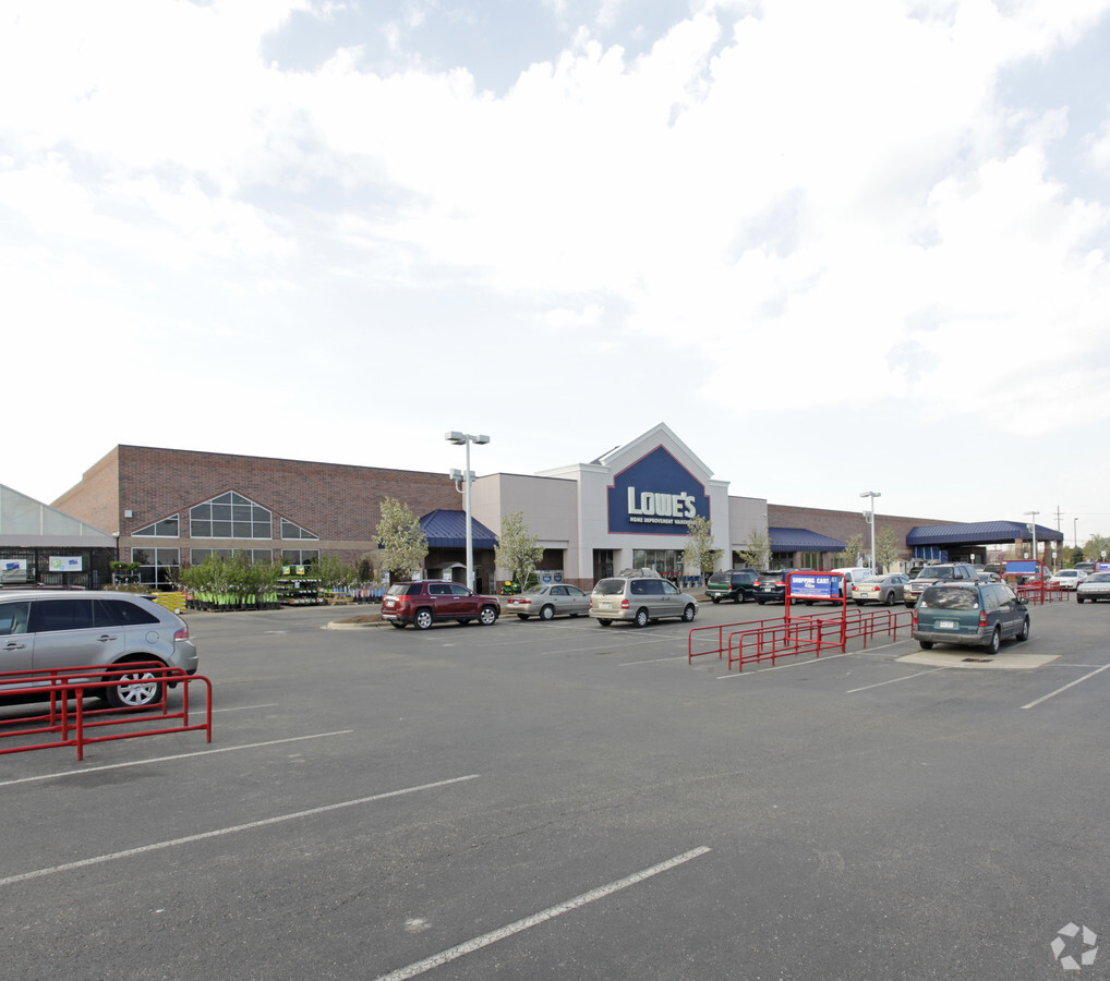
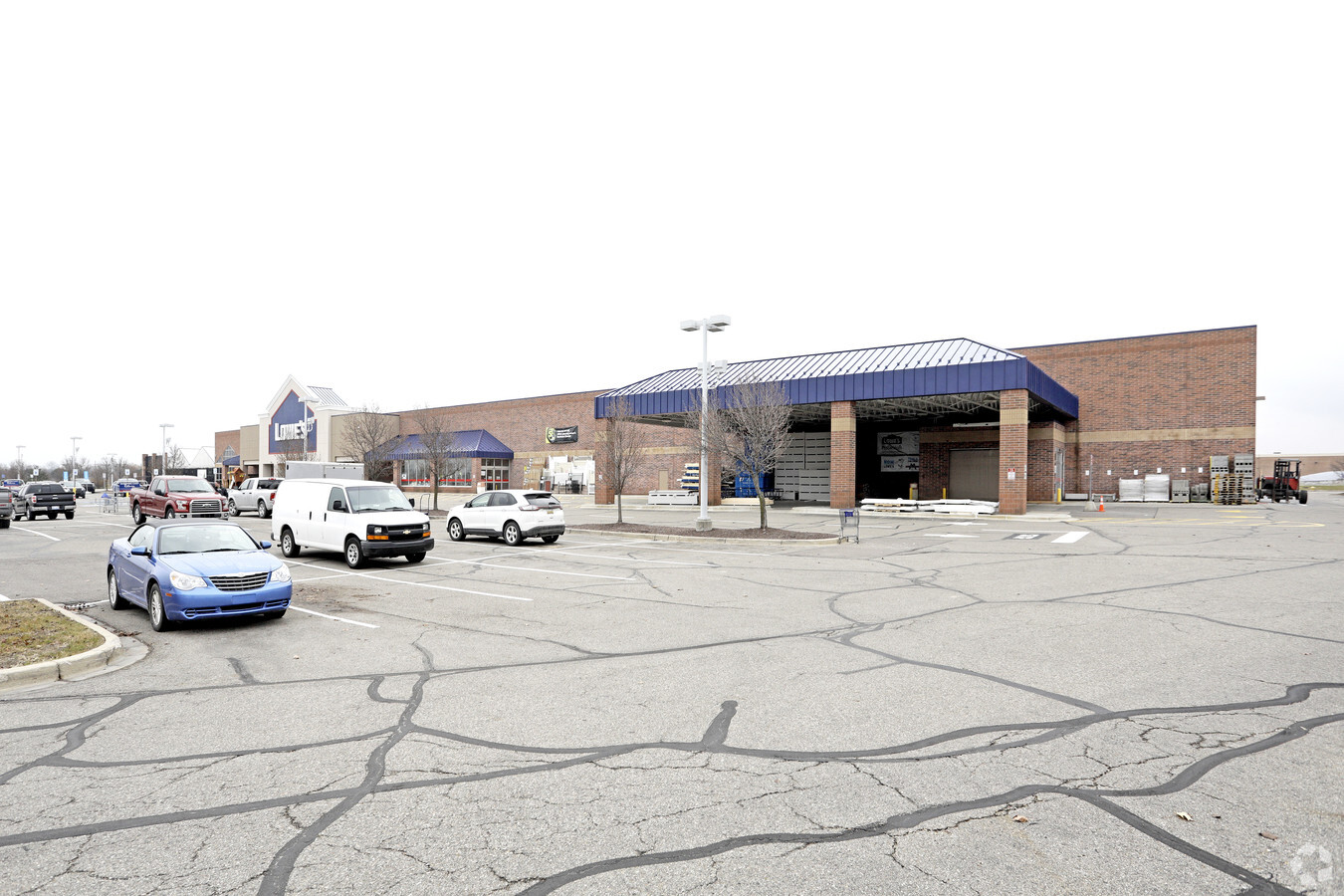
Property Record
27990 23 Mile Rd, Chesterfield, MI 48051

NEARBY LISTINGS FOR SALE OR LEASE
Property Detail
27990 23 Mile Rd
15-09-20-126-019
T3N, R14E, SEC 20, COM AT N 1/4 PT SEC 20, TH N83*55'W 78.80 FT, TH S01*57'56"W 60.16 FT T0 TO POB; TH S01*57'56"W 190.67 FT,
Wholesaleoutletdiscountstore
Macomb
X
Michigan
26099C0265G
18.25 AC
2024
Macomb East
2024
Detroit
221100
Detroit-Warren-Dearborn, MI
137,092 SF
DEMOGRAPHICS near 27990 23 Mile Rd
1 Mile
3 Mile
5 Mile
2024 Total Population
7,065
47,030
105,073
2029 Population
7,015
46,921
104,655
Pop Growth 2024-2029
(0.71%)
(0.23%)
(0.40%)
Average Age
41
41
40
2024 Total Households
3,131
18,495
39,048
HH Growth 2024-2029
(0.70%)
(0.22%)
(0.34%)
Median Household Inc
$64,126
$86,502
$83,708
Avg Household Size
2.20
2.50
2.60
2024 Avg HH Vehicles
2.00
2.00
2.00
Median Home Value
$208,589
$259,200
$270,407
Median Year Built
1996
1994
1996
Nearby Places
- Restaurants
- Banks
- Shops
- Fitness
- Groceries
PUBLIC TRANSPORTATION
AIRPORT
Windsor International
DRIVE
WALK
Distance
Windsor International
62 min
40.5 mi
Freight Ports
Port of Toledo
DRIVE
WALK
Distance
Port of Toledo
112 min
90.8 mi
Nearby Properties
Address
Land Use
TOTAL SIZE
Lot Size
Zoning
Address
Land Use
TOTAL SIZE
Lot Size
Zoning
808,240 SF
60.31 AC
RM 3 MU
Address
Land Use
TOTAL SIZE
Lot Size
Zoning
181,094 SF
14.89 AC
C3 GEN
Address
Land Use
TOTAL SIZE
Lot Size
Zoning
316,907 SF
21.18 AC
M2 GEN
Address
Land Use
TOTAL SIZE
Lot Size
Zoning
143,731 SF
16.25 AC
C2 SHO
Address
Land Use
TOTAL SIZE
Lot Size
Zoning
229,878 SF
19.93 AC
C4 MULT
Address
Land Use
TOTAL SIZE
Lot Size
Zoning
167,281 SF
16.12 AC
C3 GEN
Address
Land Use
TOTAL SIZE
Lot Size
Zoning
179,200 SF
10.12 AC
RT TECH
Address
Land Use
TOTAL SIZE
Lot Size
Zoning
124,956 SF
15.78 AC
C2 SHO
Address
Land Use
TOTAL SIZE
Lot Size
Zoning
600 SF
18.79 AC
R2L
Address
Land Use
TOTAL SIZE
Lot Size
Zoning
204,318 SF
27.75 AC
C3 GEN
Address
Land Use
TOTAL SIZE
Lot Size
Zoning
179,250 SF
26.35 AC
M2 GEN
Address
Land Use
TOTAL SIZE
Lot Size
Zoning
218,662 SF
16.61 AC
M2 GEN
Address
Land Use
TOTAL SIZE
Lot Size
Zoning
679,606 SF
29.98 AC
M2 GEN
Address
Land Use
TOTAL SIZE
Lot Size
Zoning
134,490 SF
6.09 AC
C4 MULT
Address
Land Use
TOTAL SIZE
Lot Size
Zoning
219,080 SF
20.05 AC
C4 MULT
Address
Land Use
TOTAL SIZE
Lot Size
Zoning
118,368 SF
14.46 AC
RM 3 MU
Address
Land Use
TOTAL SIZE
Lot Size
Zoning
100,982 SF
10.40 AC
C4 MULT
Address
Land Use
TOTAL SIZE
Lot Size
Zoning
16.46 AC
R2L
Address
Land Use
TOTAL SIZE
Lot Size
Zoning
184,401 SF
19.98 AC
RM 3 MU
Address
Land Use
TOTAL SIZE
Lot Size
Zoning
142,306 SF
10.22 AC
M1 LIG
Address
Land Use
TOTAL SIZE
Lot Size
Zoning
156,262 SF
16.23 AC
RM2 MU
Address
Land Use
TOTAL SIZE
Lot Size
Zoning
5,541 SF
130.51 AC
MHP MO
Address
Land Use
TOTAL SIZE
Lot Size
Zoning
96,251 SF
11.07 AC
C4 MULT
Address
Land Use
TOTAL SIZE
Lot Size
Zoning
78,805 SF
4.94 AC
M2 GEN
Address
Land Use
TOTAL SIZE
Lot Size
Zoning
88,183 SF
27.97 AC
RM1 MU
Address
Land Use
TOTAL SIZE
Lot Size
Zoning
128,187 SF
8.79 AC
M2 GEN
Address
Land Use
TOTAL SIZE
Lot Size
Zoning
313,174 SF
INDIMPR
Address
Land Use
TOTAL SIZE
Lot Size
Zoning
103,725 SF
12.79 AC
C2 SHO
Address
Land Use
TOTAL SIZE
Lot Size
Zoning
72,182 SF
5.29 AC
M1
The World's #1 Commercial Real Estate Marketplace
Connect with us
© 2025 CoStar Group
The information above has been obtained from sources believed reliable. While we do not doubt its accuracy we have not verified it and make no guarantee, warranty or representation about it. It is your responsibility to independently confirm its accuracy and completeness. Any projections, opinions, assumptions, or estimates used are for example only and do not represent the current or future performance of the property. The value of this transaction to you depends on tax and other factors which should be evaluated by your tax, financial, and legal advisors. You and your advisors should conduct a careful, independent investigation of the property to determine to your satisfaction the suitability of the property for your needs.