Property Record
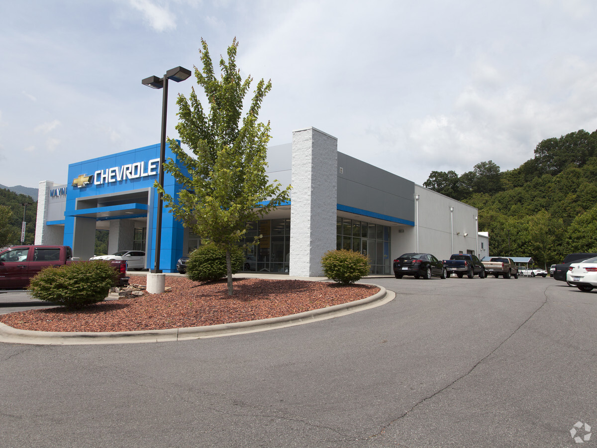
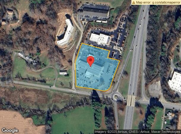
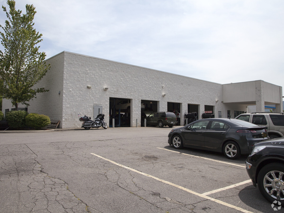
280 Hyatt Creek Rd, Waynesville, NC 28786
NEARBY LISTINGS FOR SALE OR LEASE
Property Detail
280 Hyatt Creek Rd
8604-58-1661
Hyatt Creek
Vehiclerentalsvehiclesales
280 HYATT CREEK RD #1
X
Haywood
3700860400J
North Carolina
0
4.06 AC
2024
Haywood County
920800
Asheville
4,294 SF
Asheville, NC
DEMOGRAPHICS near 280 Hyatt Creek Rd
1 Mile
3 Mile
5 Mile
2024 Total Population
3,211
14,619
23,191
2029 Population
3,335
15,147
24,044
Pop Growth 2024-2029
+ 3.86%
+ 3.61%
+ 3.68%
Average Age
44
46
47
2024 Total Households
1,409
6,588
10,577
HH Growth 2024-2029
+ 3.69%
+ 3.55%
+ 3.64%
Median Household Inc
$43,580
$43,376
$52,033
Avg Household Size
2.20
2.10
2.10
2024 Avg HH Vehicles
2.00
2.00
2.00
Median Home Value
$151,809
$222,747
$243,559
Median Year Built
1977
1977
1980
Nearby Places
- Restaurants
- Banks
- Shops
- Fitness
- Groceries
PUBLIC TRANSPORTATION
AIRPORT
Asheville Regional
DRIVE
WALK
Distance
Asheville Regional
48 min
36.8 mi
Freight Ports
North Charleston Terminal
DRIVE
WALK
Distance
North Charleston Terminal
319 min
280.6 mi
Nearby Properties
Address
Land Use
TOTAL SIZE
Lot Size
Zoning
Address
Land Use
TOTAL SIZE
Lot Size
Zoning
8,030.48 AC
Address
Land Use
TOTAL SIZE
Lot Size
Zoning
3,330 SF
3.72 AC
Address
Land Use
TOTAL SIZE
Lot Size
Zoning
2,756 SF
41.15 AC
PCND
Address
Land Use
TOTAL SIZE
Lot Size
Zoning
23,615 SF
7.17 AC
Address
Land Use
TOTAL SIZE
Lot Size
Zoning
3,017 SF
12.62 AC
SWND
Address
Land Use
TOTAL SIZE
Lot Size
Zoning
180,806 SF
17.13 AC
HCAC
Address
Land Use
TOTAL SIZE
Lot Size
Zoning
127,545 SF
12.45 AC
HCAC
Address
Land Use
TOTAL SIZE
Lot Size
Zoning
16,764 SF
8.28 AC
HND
Address
Land Use
TOTAL SIZE
Lot Size
Zoning
5,509 SF
7.12 AC
Address
Land Use
TOTAL SIZE
Lot Size
Zoning
2,924.62 AC
Address
Land Use
TOTAL SIZE
Lot Size
Zoning
25,344 SF
1.16 AC
CBD
Address
Land Use
TOTAL SIZE
Lot Size
Zoning
3,248 SF
102.66 AC
Address
Land Use
TOTAL SIZE
Lot Size
Zoning
71,831 SF
5.83 AC
SMBD
Address
Land Use
TOTAL SIZE
Lot Size
Zoning
49,732 SF
6.63 AC
Address
Land Use
TOTAL SIZE
Lot Size
Zoning
71,321 SF
19.56 AC
PCND
Address
Land Use
TOTAL SIZE
Lot Size
Zoning
39,484 SF
14 AC
SWND
Address
Land Use
TOTAL SIZE
Lot Size
Zoning
14,806 SF
9.76 AC
Address
Land Use
TOTAL SIZE
Lot Size
Zoning
124,013 SF
11.81 AC
RATC
Address
Land Use
TOTAL SIZE
Lot Size
Zoning
7,020 SF
2.22 AC
CBD
Address
Land Use
TOTAL SIZE
Lot Size
Zoning
35,494 SF
3.30 AC
WSND
Address
Land Use
TOTAL SIZE
Lot Size
Zoning
4,368 SF
1.49 AC
MSND
Address
Land Use
TOTAL SIZE
Lot Size
Zoning
10,754 SF
0.49 AC
CBD
Address
Land Use
TOTAL SIZE
Lot Size
Zoning
63,864 SF
5.57 AC
Address
Land Use
TOTAL SIZE
Lot Size
Zoning
4,800 SF
6 AC
HTC
Address
Land Use
TOTAL SIZE
Lot Size
Zoning
17,282 SF
1.10 AC
HND
Address
Land Use
TOTAL SIZE
Lot Size
Zoning
4,215 SF
86.32 AC
ENRD
Address
Land Use
TOTAL SIZE
Lot Size
Zoning
9,000 SF
2.93 AC
CBD
Address
Land Use
TOTAL SIZE
Lot Size
Zoning
13,034 SF
9.78 AC
Address
Land Use
TOTAL SIZE
Lot Size
Zoning
29,706 SF
4.36 AC
HCAC
Address
Land Use
TOTAL SIZE
Lot Size
Zoning
7,426 SF
80.72 AC
The World's #1 Commercial Real Estate Marketplace
Connect with us
© 2025 CoStar Group
The information above has been obtained from sources believed reliable. While we do not doubt its accuracy we have not verified it and make no guarantee, warranty or representation about it. It is your responsibility to independently confirm its accuracy and completeness. Any projections, opinions, assumptions, or estimates used are for example only and do not represent the current or future performance of the property. The value of this transaction to you depends on tax and other factors which should be evaluated by your tax, financial, and legal advisors. You and your advisors should conduct a careful, independent investigation of the property to determine to your satisfaction the suitability of the property for your needs.