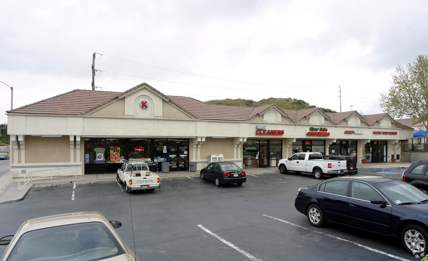
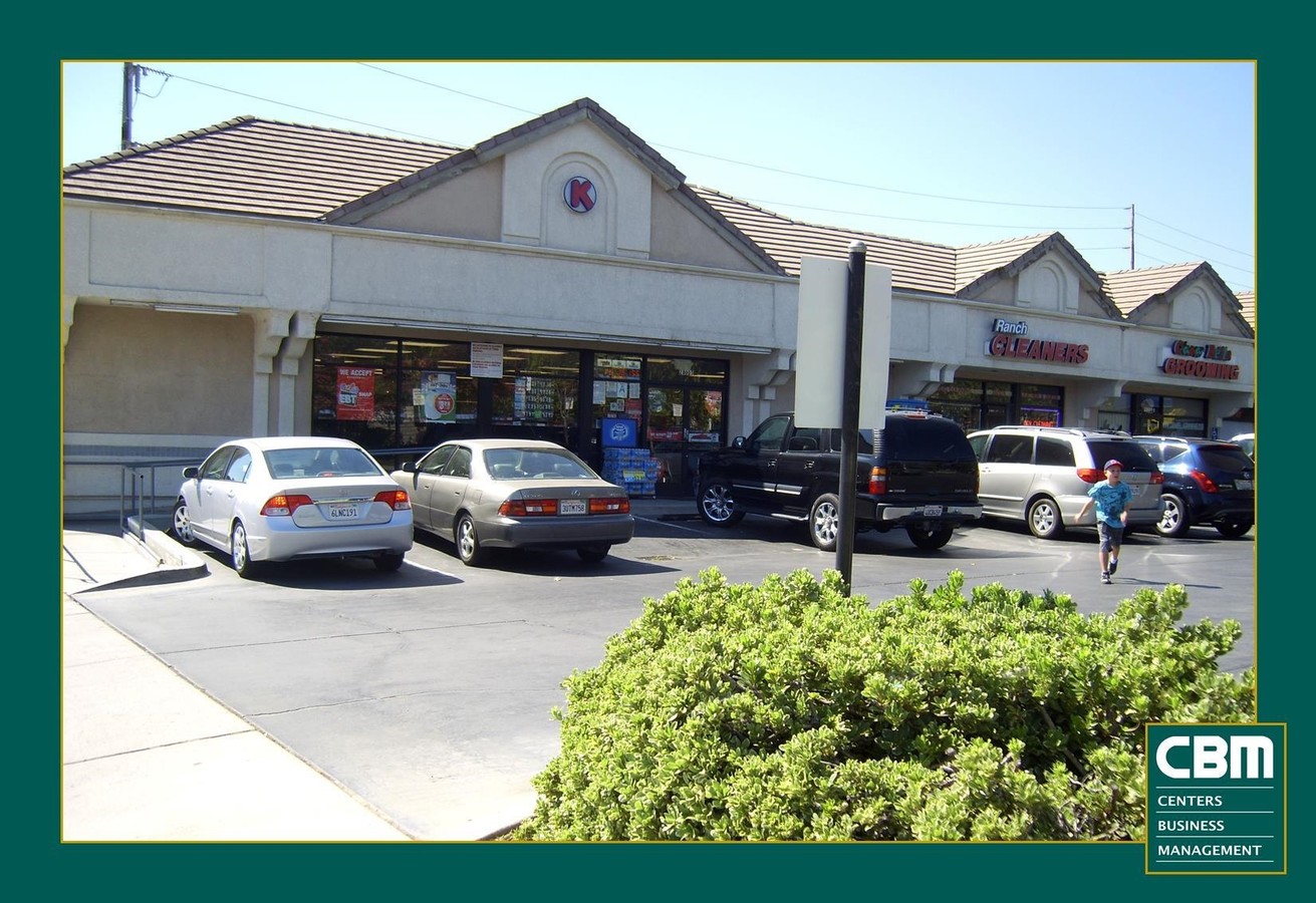
Property Record
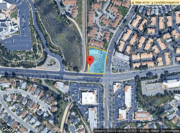
28005 Seco Canyon Rd, Santa Clarita, CA 91390

NEARBY LISTINGS FOR SALE OR LEASE
Property Detail
28005 Seco Canyon Rd
Los Angeles-Long Beach-Glendale, CA
43753
3244-070-003
TR=43753 LOT/SEC 203
Storemultistory
Los Angeles
X
California
06037C0810G
203
2024
1.18 AC
2024
Santa Clarita Valley
920015
Los Angeles
14,828 SF
DEMOGRAPHICS near 28005 Seco Canyon Rd
1 Mile
3 Mile
5 Mile
2024 Total Population
16,080
74,785
143,407
2029 Population
15,497
72,011
138,265
Pop Growth 2024-2029
(3.63%)
(3.71%)
(3.59%)
Average Age
40
39
40
2024 Total Households
5,397
24,238
47,693
HH Growth 2024-2029
(3.84%)
(4.01%)
(3.87%)
Median Household Inc
$141,159
$137,372
$121,784
Avg Household Size
3.00
3.00
2.90
2024 Avg HH Vehicles
3.00
2.00
2.00
Median Home Value
$733,346
$738,694
$723,928
Median Year Built
1988
1993
1990
Nearby Places
- Restaurants
- Banks
- Shops
- Fitness
- Groceries
PUBLIC TRANSPORTATION
COMMUTER RAIL
Santa Clarita (Antelope Valley Line - Southern California Regional Rail Authority (Metrolink))
DRIVE
WALK
Distance
Santa Clarita (Antelope Valley Line - Southern California Regional Rail Authority (Metrolink))
9 min
4.2 mi
Via Princessa (Antelope Valley Line - Southern California Regional Rail Authority (Metrolink))
DRIVE
WALK
Distance
Via Princessa (Antelope Valley Line - Southern California Regional Rail Authority (Metrolink))
15 min
8.0 mi
AIRPORT
Bob Hope
DRIVE
WALK
Distance
Bob Hope
36 min
26.1 mi
Freight Ports
The Port of Hueneme
DRIVE
WALK
Distance
The Port of Hueneme
75 min
52.8 mi
SALE & LEASE HISTORY
LISTING DATE
SALE/LEASE

Nov 01, 2016
For Lease
Jan 12, 2018
For Lease
Aug 10, 2017
For Lease
Nearby Properties
Address
Land Use
TOTAL SIZE
Lot Size
Zoning
Address
Land Use
TOTAL SIZE
Lot Size
Zoning
180,629 SF
40.68 AC
SCBP
Address
Land Use
TOTAL SIZE
Lot Size
Zoning
357,128 SF
17.04 AC
SCUR5
Address
Land Use
TOTAL SIZE
Lot Size
Zoning
264,769 SF
8.97 AC
LCA25*
Address
Land Use
TOTAL SIZE
Lot Size
Zoning
194,907 SF
7.82 AC
SCSP
Address
Land Use
TOTAL SIZE
Lot Size
Zoning
97,733 SF
13.14 AC
SCCC
Address
Land Use
TOTAL SIZE
Lot Size
Zoning
203,590 SF
10.09 AC
SCBP
Address
Land Use
TOTAL SIZE
Lot Size
Zoning
315,346 SF
15.99 AC
SCBP
Address
Land Use
TOTAL SIZE
Lot Size
Zoning
103,828 SF
6.23 AC
SCUR4
Address
Land Use
TOTAL SIZE
Lot Size
Zoning
211,874 SF
9.15 AC
SCSP
Address
Land Use
TOTAL SIZE
Lot Size
Zoning
84,893 SF
3.54 AC
LCA25*
Address
Land Use
TOTAL SIZE
Lot Size
Zoning
232,987 SF
16 AC
SCUR5
Address
Land Use
TOTAL SIZE
Lot Size
Zoning
346,419 SF
7.38 AC
SCSP
Address
Land Use
TOTAL SIZE
Lot Size
Zoning
196,958 SF
14.03 AC
SCUR5
Address
Land Use
TOTAL SIZE
Lot Size
Zoning
102,665 SF
10.41 AC
SCSP
Address
Land Use
TOTAL SIZE
Lot Size
Zoning
123,863 SF
23.15 AC
SCNU4
Address
Land Use
TOTAL SIZE
Lot Size
Zoning
76,039 SF
11.30 AC
SCCC
Address
Land Use
TOTAL SIZE
Lot Size
Zoning
57,300 SF
6.89 AC
SCCC
Address
Land Use
TOTAL SIZE
Lot Size
Zoning
44,256 SF
4.18 AC
SCBP
Address
Land Use
TOTAL SIZE
Lot Size
Zoning
47,703 SF
6.10 AC
SCCC
Address
Land Use
TOTAL SIZE
Lot Size
Zoning
59,240 SF
2.78 AC
SCCC
Address
Land Use
TOTAL SIZE
Lot Size
Zoning
Address
Land Use
TOTAL SIZE
Lot Size
Zoning
51,939 SF
3.50 AC
LCC2
Address
Land Use
TOTAL SIZE
Lot Size
Zoning
138,864 SF
15.81 AC
SCCC
Address
Land Use
TOTAL SIZE
Lot Size
Zoning
143,848 SF
4.89 AC
SCBP
Address
Land Use
TOTAL SIZE
Lot Size
Zoning
49,750 SF
1.96 AC
SCCC
Address
Land Use
TOTAL SIZE
Lot Size
Zoning
52,692 SF
9.52 AC
SCUR2
Address
Land Use
TOTAL SIZE
Lot Size
Zoning
38,126 SF
2.52 AC
SCMX-C
Address
Land Use
TOTAL SIZE
Lot Size
Zoning
52,568 SF
4.04 AC
SCSP
Address
Land Use
TOTAL SIZE
Lot Size
Zoning
60,148 SF
6.17 AC
SCSP
The World's #1 Commercial Real Estate Marketplace
Connect with us
© 2025 CoStar Group
The information above has been obtained from sources believed reliable. While we do not doubt its accuracy we have not verified it and make no guarantee, warranty or representation about it. It is your responsibility to independently confirm its accuracy and completeness. Any projections, opinions, assumptions, or estimates used are for example only and do not represent the current or future performance of the property. The value of this transaction to you depends on tax and other factors which should be evaluated by your tax, financial, and legal advisors. You and your advisors should conduct a careful, independent investigation of the property to determine to your satisfaction the suitability of the property for your needs.