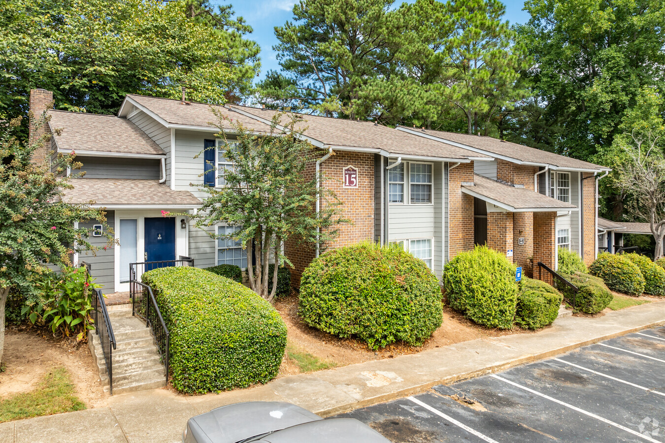
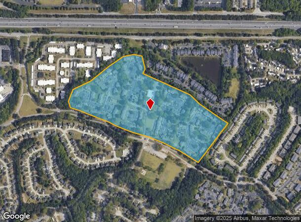
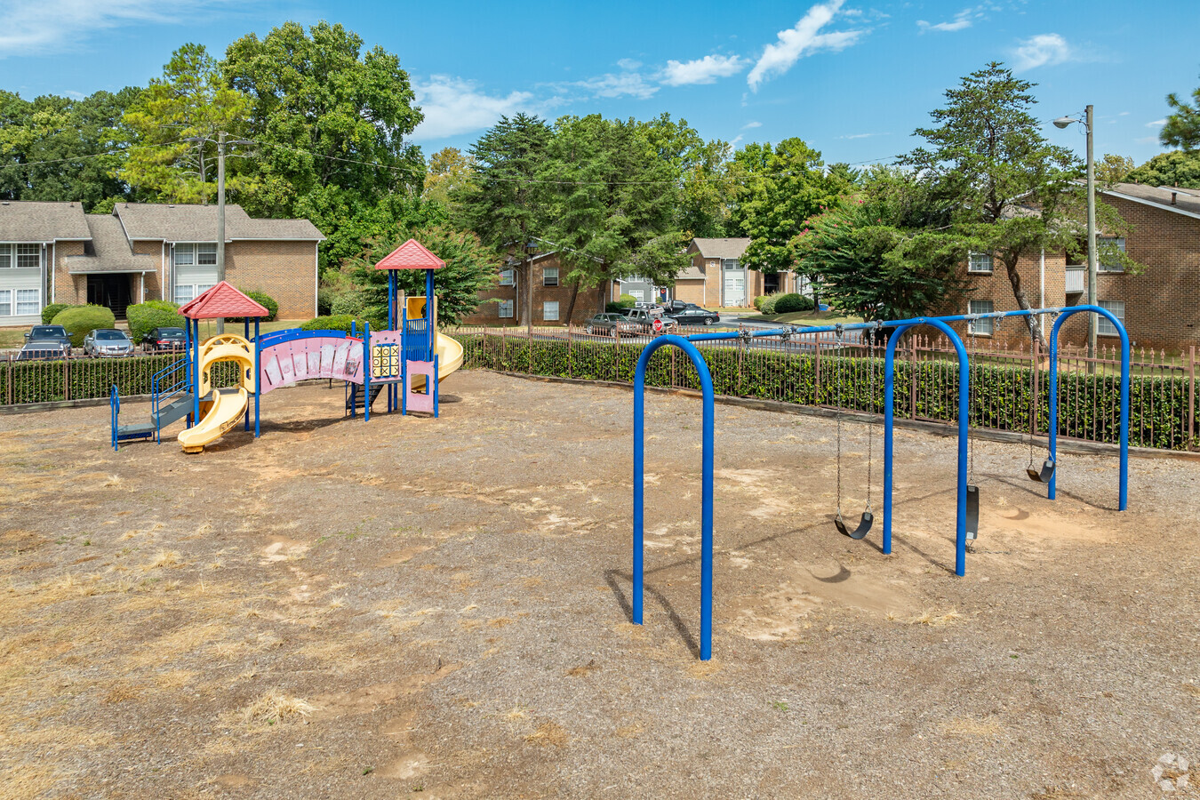
Property Record
2801 Fairington Pkwy, Lithonia, GA 30038
NEARBY LISTINGS FOR SALE OR LEASE
-
-
View all Lithonia listings for sale on LoopNet.com
Property Detail
2801 Fairington Pkwy
16-055-02-002
PARCEL NUMBER 16 055 02 002
Apartment
DeKalb
X
Georgia
13089C0158J
2
2023
32.10 AC
2023
Southeast DeKalb
023427
Atlanta
484,198 SF
Atlanta-Sandy Springs-Roswell, GA
DEMOGRAPHICS near 2801 Fairington Pkwy
1 Mile
3 Mile
5 Mile
2024 Total Population
13,946
72,704
160,284
2029 Population
13,831
72,242
159,320
Pop Growth 2024-2029
(0.82%)
(0.64%)
(0.60%)
Average Age
36
37
39
2024 Total Households
5,743
27,430
59,465
HH Growth 2024-2029
(0.98%)
(0.73%)
(0.68%)
Median Household Inc
$51,679
$58,288
$61,785
Avg Household Size
2.40
2.60
2.60
2024 Avg HH Vehicles
2.00
2.00
2.00
Median Home Value
$149,761
$174,172
$191,645
Median Year Built
1997
1991
1988
Nearby Places
- Restaurants
- Banks
- Shops
- Fitness
- Groceries
PUBLIC TRANSPORTATION
AIRPORT
Hartsfield - Jackson Atlanta International
DRIVE
WALK
Distance
Hartsfield - Jackson Atlanta International
31 min
19.3 mi
Freight Ports
Georgia Ports - Savannah
DRIVE
WALK
Distance
Georgia Ports - Savannah
280 min
241.2 mi
Nearby Properties
Address
Land Use
TOTAL SIZE
Lot Size
Zoning
Address
Land Use
TOTAL SIZE
Lot Size
Zoning
317,008 SF
37.40 AC
RM100
Address
Land Use
TOTAL SIZE
Lot Size
Zoning
834,629 SF
64.50 AC
RM100
Address
Land Use
TOTAL SIZE
Lot Size
Zoning
235,521 SF
15.10 AC
RM75
Address
Land Use
TOTAL SIZE
Lot Size
Zoning
250,496 SF
14.80 AC
OI
Address
Land Use
TOTAL SIZE
Lot Size
Zoning
81,537 SF
9.17 AC
C1
Address
Land Use
TOTAL SIZE
Lot Size
Zoning
108,519 SF
14.31 AC
Address
Land Use
TOTAL SIZE
Lot Size
Zoning
208,447 SF
26.75 AC
RM100
Address
Land Use
TOTAL SIZE
Lot Size
Zoning
217,925 SF
23 AC
RM100
Address
Land Use
TOTAL SIZE
Lot Size
Zoning
287,681 SF
20.60 AC
RM100
Address
Land Use
TOTAL SIZE
Lot Size
Zoning
1,810 SF
234 AC
RA8
Address
Land Use
TOTAL SIZE
Lot Size
Zoning
267,899 SF
47.90 AC
X
Address
Land Use
TOTAL SIZE
Lot Size
Zoning
189,472 SF
30.90 AC
RM100
Address
Land Use
TOTAL SIZE
Lot Size
Zoning
271,666 SF
30.50 AC
RM100
Address
Land Use
TOTAL SIZE
Lot Size
Zoning
249,506 SF
21 AC
RM100
Address
Land Use
TOTAL SIZE
Lot Size
Zoning
814,943 SF
40.70 AC
M
Address
Land Use
TOTAL SIZE
Lot Size
Zoning
218,152 SF
18.80 AC
RM100
Address
Land Use
TOTAL SIZE
Lot Size
Zoning
182,490 SF
12.40 AC
RM100
Address
Land Use
TOTAL SIZE
Lot Size
Zoning
198,140 SF
18 AC
RM100
Address
Land Use
TOTAL SIZE
Lot Size
Zoning
253,861 SF
19.30 AC
X
Address
Land Use
TOTAL SIZE
Lot Size
Zoning
144,950 SF
16.40 AC
RM100
Address
Land Use
TOTAL SIZE
Lot Size
Zoning
365,757 SF
31.50 AC
RM100
Address
Land Use
TOTAL SIZE
Lot Size
Zoning
314,474 SF
24.70 AC
RM75
Address
Land Use
TOTAL SIZE
Lot Size
Zoning
292,395 SF
20.70 AC
RM100
Address
Land Use
TOTAL SIZE
Lot Size
Zoning
155,447 SF
12.10 AC
X
Address
Land Use
TOTAL SIZE
Lot Size
Zoning
168,610 SF
19.20 AC
M
Address
Land Use
TOTAL SIZE
Lot Size
Zoning
209,022 SF
16.50 AC
RM100
Address
Land Use
TOTAL SIZE
Lot Size
Zoning
32,000 SF
6.80 AC
X
Address
Land Use
TOTAL SIZE
Lot Size
Zoning
249,668 SF
17.10 AC
RM100
Address
Land Use
TOTAL SIZE
Lot Size
Zoning
181,160 SF
15.60 AC
M
The World's #1 Commercial Real Estate Marketplace
Connect with us
© 2025 CoStar Group
The information above has been obtained from sources believed reliable. While we do not doubt its accuracy we have not verified it and make no guarantee, warranty or representation about it. It is your responsibility to independently confirm its accuracy and completeness. Any projections, opinions, assumptions, or estimates used are for example only and do not represent the current or future performance of the property. The value of this transaction to you depends on tax and other factors which should be evaluated by your tax, financial, and legal advisors. You and your advisors should conduct a careful, independent investigation of the property to determine to your satisfaction the suitability of the property for your needs.