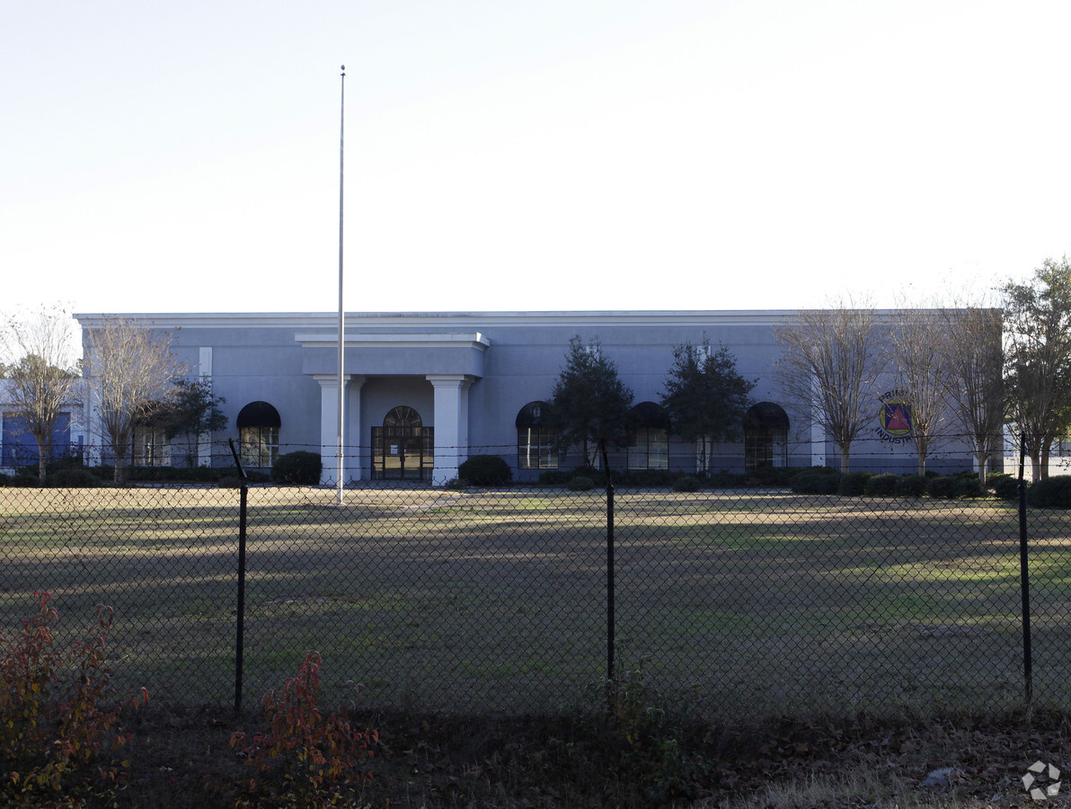
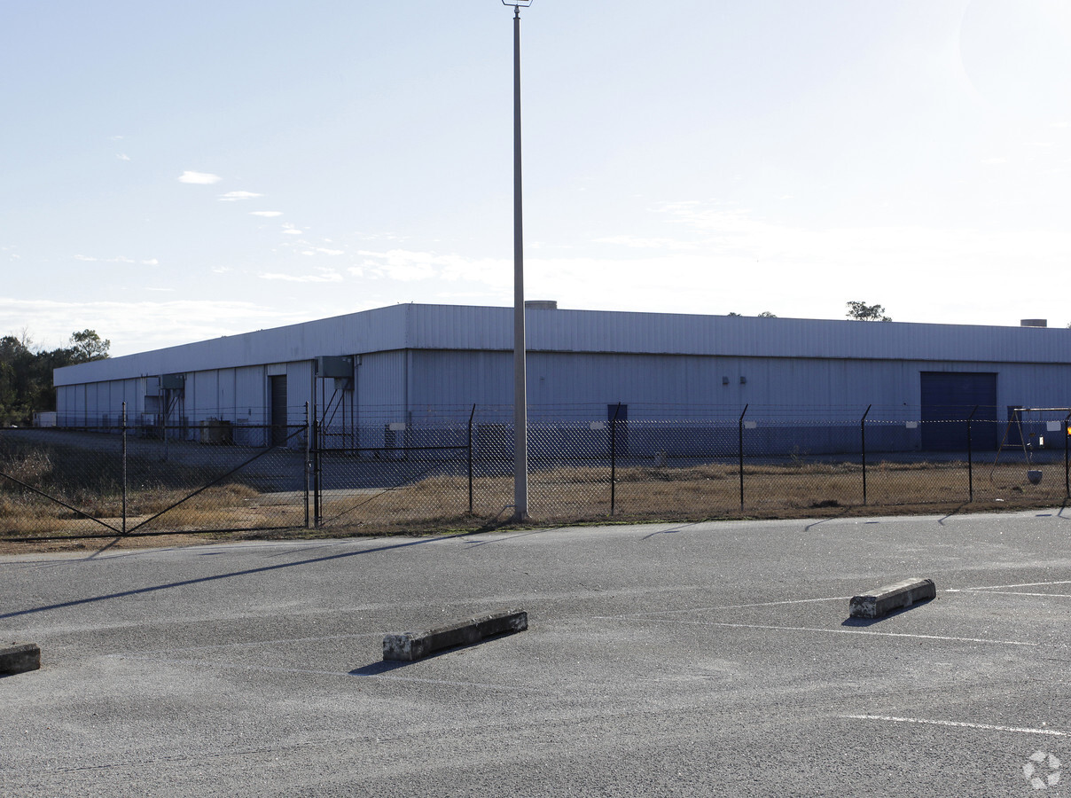
Property Record
2802 Phillips Dr, Albany, GA 31721
NEARBY LISTINGS FOR SALE OR LEASE
-
-
View all Albany listings for lease on LoopNet.com
Property Detail
2802 Phillips Dr
Albany, GA
Ind-Phillips Dr
00364-00020-015
LL 123 2ND DIST
Industrialgeneral
Dougherty
X
Georgia
13095C0105E
5.80 AC
2024
Albany/Southwest
2024
Other Market Areas
010402
DEMOGRAPHICS near 2802 Phillips Dr
1 Mile
3 Mile
5 Mile
2024 Total Population
1,153
22,410
54,893
2029 Population
1,078
21,139
52,576
Pop Growth 2024-2029
(6.50%)
(5.67%)
(4.22%)
Average Age
36
40
40
2024 Total Households
447
9,326
23,528
HH Growth 2024-2029
(6.49%)
(5.78%)
(4.34%)
Median Household Inc
$44,755
$50,790
$48,955
Avg Household Size
2.40
2.30
2.30
2024 Avg HH Vehicles
2.00
2.00
2.00
Median Home Value
$136,956
$159,197
$149,478
Median Year Built
1983
1979
1976
Nearby Places
- Restaurants
- Banks
- Shops
- Fitness
- Groceries
PUBLIC TRANSPORTATION
AIRPORT
Southwest Georgia Regional
DRIVE
WALK
Distance
Southwest Georgia Regional
10 min
4.3 mi
Freight Ports
Port of Panama City
DRIVE
WALK
Distance
Port of Panama City
229 min
157.4 mi
SALE & LEASE HISTORY
LISTING DATE
SALE/LEASE

Jun 01, 2017
For Lease
Nearby Properties
Address
Land Use
TOTAL SIZE
Lot Size
Zoning
Address
Land Use
TOTAL SIZE
Lot Size
Zoning
42,880 SF
31.25 AC
R6
Address
Land Use
TOTAL SIZE
Lot Size
Zoning
11,488 SF
12.23 AC
R6
Address
Land Use
TOTAL SIZE
Lot Size
Zoning
9,676 SF
10.73 AC
R6
Address
Land Use
TOTAL SIZE
Lot Size
Zoning
21,144 SF
11.79 AC
R6
Address
Land Use
TOTAL SIZE
Lot Size
Zoning
51,552 SF
13.26 AC
R6
Address
Land Use
TOTAL SIZE
Lot Size
Zoning
17,758 SF
5.73 AC
C3
Address
Land Use
TOTAL SIZE
Lot Size
Zoning
32,000 SF
14.19 AC
R1A
Address
Land Use
TOTAL SIZE
Lot Size
Zoning
204,625 SF
27.28 AC
M1
Address
Land Use
TOTAL SIZE
Lot Size
Zoning
44,670 SF
5.32 AC
R1A
Address
Land Use
TOTAL SIZE
Lot Size
Zoning
30,190 SF
212.69 AC
C5
Address
Land Use
TOTAL SIZE
Lot Size
Zoning
21,572 SF
5.27 AC
C1
Address
Land Use
TOTAL SIZE
Lot Size
Zoning
5,100 SF
18.93 AC
R6
Address
Land Use
TOTAL SIZE
Lot Size
Zoning
146,281 SF
17.87 AC
M1
Address
Land Use
TOTAL SIZE
Lot Size
Zoning
14,336 SF
8.91 AC
R6
Address
Land Use
TOTAL SIZE
Lot Size
Zoning
47,877 SF
6.08 AC
C3
Address
Land Use
TOTAL SIZE
Lot Size
Zoning
40,915 SF
6.99 AC
C1
Address
Land Use
TOTAL SIZE
Lot Size
Zoning
26,792 SF
3.28 AC
C2
Address
Land Use
TOTAL SIZE
Lot Size
Zoning
24,247 SF
2.37 AC
C7
Address
Land Use
TOTAL SIZE
Lot Size
Zoning
56,117 SF
7.01 AC
C7
Address
Land Use
TOTAL SIZE
Lot Size
Zoning
6,222 SF
5.50 AC
C3
Address
Land Use
TOTAL SIZE
Lot Size
Zoning
21,886 SF
2.55 AC
C2
Address
Land Use
TOTAL SIZE
Lot Size
Zoning
42,560 SF
11.48 AC
R6
Address
Land Use
TOTAL SIZE
Lot Size
Zoning
21,402 SF
5.32 AC
M1
Address
Land Use
TOTAL SIZE
Lot Size
Zoning
24,867 SF
1.94 AC
C7
Address
Land Use
TOTAL SIZE
Lot Size
Zoning
18,972 SF
10 AC
R6
Address
Land Use
TOTAL SIZE
Lot Size
Zoning
9,692 SF
2.54 AC
C-5
Address
Land Use
TOTAL SIZE
Lot Size
Zoning
9,692 SF
2.54 AC
C-R
Address
Land Use
TOTAL SIZE
Lot Size
Zoning
16,968 SF
5.74 AC
R6
Address
Land Use
TOTAL SIZE
Lot Size
Zoning
2,000 AC
Address
Land Use
TOTAL SIZE
Lot Size
Zoning
624 SF
4.86 AC
C3
The World's #1 Commercial Real Estate Marketplace
Connect with us
© 2025 CoStar Group
The information above has been obtained from sources believed reliable. While we do not doubt its accuracy we have not verified it and make no guarantee, warranty or representation about it. It is your responsibility to independently confirm its accuracy and completeness. Any projections, opinions, assumptions, or estimates used are for example only and do not represent the current or future performance of the property. The value of this transaction to you depends on tax and other factors which should be evaluated by your tax, financial, and legal advisors. You and your advisors should conduct a careful, independent investigation of the property to determine to your satisfaction the suitability of the property for your needs.