Property Record
2806 Raeford Rd, Fayetteville, NC 28303


NEARBY LISTINGS FOR SALE OR LEASE
Property Detail
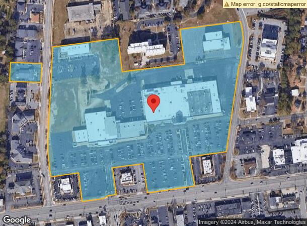
2806 Raeford Rd
Fayetteville, NC
8000S-Raeford Rd/Robeson To Exp Way
0427-22-8111
HIGHLAND CENTRE LO:MAJ PT 1 SE:01 PL:0093-0034
Commercialnec
Cumberland
X
North Carolina
3720042700J
1
2025
23.28 AC
2025
North Fayetteville
000701
Fayetteville
104,350 SF
DEMOGRAPHICS near 2806 Raeford Rd
1 Mile
3 Mile
5 Mile
2024 Total Population
6,510
55,904
143,552
2029 Population
6,477
56,143
143,955
Pop Growth 2024-2029
(0.51%)
+ 0.43%
+ 0.28%
Average Age
41
39
37
2024 Total Households
2,907
23,989
60,964
HH Growth 2024-2029
(0.48%)
+ 0.42%
+ 0.29%
Median Household Inc
$66,006
$46,900
$46,617
Avg Household Size
2.20
2.20
2.30
2024 Avg HH Vehicles
2.00
2.00
2.00
Median Home Value
$239,125
$159,505
$144,843
Median Year Built
1970
1971
1979
Nearby Places
Map Layers
Map Styles
 Street
 Aerial
- Restaurants
- Banks
- Shops
- Fitness
- Groceries
PUBLIC TRANSPORTATION
COMMUTER RAIL
DRIVE
WALK
Distance
6 min
2.7 mi
AIRPORT
Fayetteville Regional/Grannis Field
DRIVE
WALK
Distance
Fayetteville Regional/Grannis Field
11 min
6.6 mi
SALE & LEASE HISTORY
LISTING DATE
SALE/LEASE

Jun 08, 2017
For Lease
Nearby Properties
Address
Land Use
TOTAL SIZE
Lot Size
Zoning
Address
Land Use
TOTAL SIZE
Lot Size
Zoning
182,282 SF
38.72 AC
OI
Address
Land Use
TOTAL SIZE
Lot Size
Zoning
2,193 SF
133.52 AC
MR5
Address
Land Use
TOTAL SIZE
Lot Size
Zoning
46,110 SF
25.72 AC
OI
Address
Land Use
TOTAL SIZE
Lot Size
Zoning
47,832 SF
43.28 AC
CC
Address
Land Use
TOTAL SIZE
Lot Size
Zoning
91,620 SF
9.67 AC
CC
Address
Land Use
TOTAL SIZE
Lot Size
Zoning
1,377 SF
20.14 AC
MR5-MIXED
Address
Land Use
TOTAL SIZE
Lot Size
Zoning
5,755 SF
23.12 AC
CC-COMMUNI
Address
Land Use
TOTAL SIZE
Lot Size
Zoning
11,894 SF
8.39 AC
DTCZ
Address
Land Use
TOTAL SIZE
Lot Size
Zoning
2,842 SF
23.27 AC
MR5
Address
Land Use
TOTAL SIZE
Lot Size
Zoning
54,316 SF
28.64 AC
CC
Address
Land Use
TOTAL SIZE
Lot Size
Zoning
3,999 SF
44.59 AC
MR5
Address
Land Use
TOTAL SIZE
Lot Size
Zoning
37,786 SF
9.55 AC
CC
Address
Land Use
TOTAL SIZE
Lot Size
Zoning
181,147 SF
24.02 AC
CCCZ
Address
Land Use
TOTAL SIZE
Lot Size
Zoning
4,522 SF
12.59 AC
MR5
Address
Land Use
TOTAL SIZE
Lot Size
Zoning
135,996 SF
14.28 AC
CCCZ
Address
Land Use
TOTAL SIZE
Lot Size
Zoning
7,434 SF
5.87 AC
R5CZ
Address
Land Use
TOTAL SIZE
Lot Size
Zoning
1,682 SF
30.53 AC
CC-COMMUNI
Address
Land Use
TOTAL SIZE
Lot Size
Zoning
6,670 SF
7.11 AC
CC
Address
Land Use
TOTAL SIZE
Lot Size
Zoning
1 AC
DTCZ
Address
Land Use
TOTAL SIZE
Lot Size
Zoning
2,797 SF
54.38 AC
(UC) UNIVE
Address
Land Use
TOTAL SIZE
Lot Size
Zoning
26,717 SF
89.19 AC
SF10
Address
Land Use
TOTAL SIZE
Lot Size
Zoning
1 AC
DTCZ-DOWNT
Address
Land Use
TOTAL SIZE
Lot Size
Zoning
118,561 SF
13.70 AC
CC
Address
Land Use
TOTAL SIZE
Lot Size
Zoning
19,844 SF
13.98 AC
CC
Address
Land Use
TOTAL SIZE
Lot Size
Zoning
7,470 SF
11.11 AC
CC-COMMUNI
Address
Land Use
TOTAL SIZE
Lot Size
Zoning
780 SF
19.30 AC
SF10
Address
Land Use
TOTAL SIZE
Lot Size
Zoning
27,825 SF
1.67 AC
DT
Address
Land Use
TOTAL SIZE
Lot Size
Zoning
3,840 SF
17.54 AC
SF10-SGLFA
Address
Land Use
TOTAL SIZE
Lot Size
Zoning
10,158 SF
11.49 AC
SF6
Address
Land Use
TOTAL SIZE
Lot Size
Zoning
26,818 SF
OI-OFFICE
The World's #1 Commercial Real Estate Marketplace
Connect with us
© 2026 CoStar Group
The information above has been obtained from sources believed reliable. While we do not doubt its accuracy we have not verified it and make no guarantee, warranty or representation about it. It is your responsibility to independently confirm its accuracy and completeness. Any projections, opinions, assumptions, or estimates used are for example only and do not represent the current or future performance of the property. The value of this transaction to you depends on tax and other factors which should be evaluated by your tax, financial, and legal advisors. You and your advisors should conduct a careful, independent investigation of the property to determine to your satisfaction the suitability of the property for your needs.