Property Record
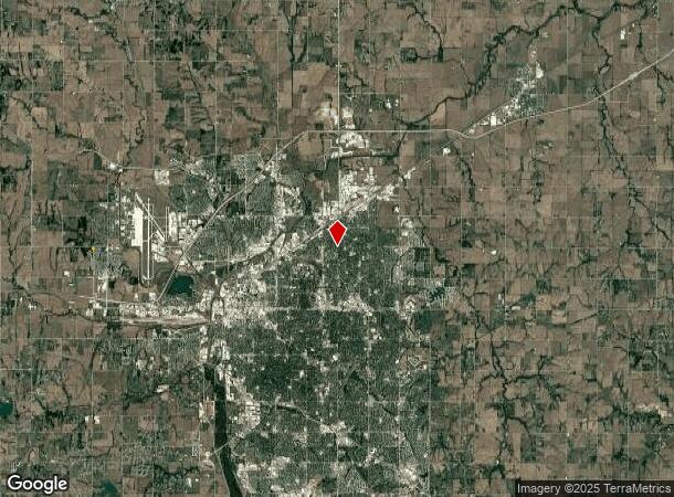
2905 N 56Th St, Lincoln, NE 68504
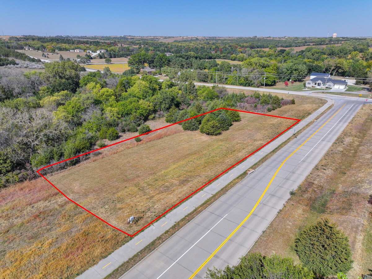
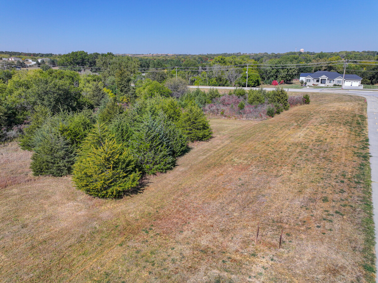
This Property Is For Sale
NEARBY LISTINGS FOR SALE OR LEASE
Property Detail
2905 N 56Th St
Lincoln
Airport Heights First Addition
Lincoln, NE
Lancaster
04-13-203-005-000
Nebraska
Sfr
0.20 AC
X
Northeast
31109C0285F
DEMOGRAPHICS near 2905 N 56Th St
1 Mile
3 Mile
5 Mile
2024 Total Population
16,165
90,570
192,124
2029 Population
16,651
93,843
198,946
Pop Growth 2024-2029
+ 3.01%
+ 3.61%
+ 3.55%
Average Age
37
38
37
2024 Total Households
7,031
38,713
81,255
HH Growth 2024-2029
+ 3.39%
+ 3.74%
+ 3.75%
Median Household Inc
$48,150
$56,040
$55,443
Avg Household Size
2.10
2.20
2.20
2024 Avg HH Vehicles
2.00
2.00
2.00
Median Home Value
$150,602
$179,335
$198,579
Median Year Built
1960
1973
1973
Nearby Places
- Restaurants
- Banks
- Shops
- Fitness
- Groceries
PUBLIC TRANSPORTATION
COMMUTER RAIL
Lincoln Amtrak Station (California Zephyr - Amtrak)
DRIVE
WALK
Distance
Lincoln Amtrak Station (California Zephyr - Amtrak)
9 min
4.6 mi
AIRPORT
Lincoln
DRIVE
WALK
Distance
Lincoln
12 min
6.7 mi
Freight Ports
Tulsa Port Of Catoosa
DRIVE
WALK
Distance
Tulsa Port Of Catoosa
471 min
392.4 mi
Nearby Properties
Address
Land Use
TOTAL SIZE
Lot Size
Zoning
Address
Land Use
TOTAL SIZE
Lot Size
Zoning
364,797 SF
25.06 AC
R1
Address
Land Use
TOTAL SIZE
Lot Size
Zoning
413,484 SF
44.25 AC
R6
Address
Land Use
TOTAL SIZE
Lot Size
Zoning
32,110 SF
14.60 AC
R5
Address
Land Use
TOTAL SIZE
Lot Size
Zoning
92,054 SF
6.22 AC
R5
Address
Land Use
TOTAL SIZE
Lot Size
Zoning
63,393 SF
11.10 AC
R5
Address
Land Use
TOTAL SIZE
Lot Size
Zoning
179,447 SF
7.85 AC
R6
Address
Land Use
TOTAL SIZE
Lot Size
Zoning
48,088 SF
28.06 AC
R5
Address
Land Use
TOTAL SIZE
Lot Size
Zoning
71,046 SF
23.72 AC
R5
Address
Land Use
TOTAL SIZE
Lot Size
Zoning
37,240 SF
17.06 AC
NULL
Address
Land Use
TOTAL SIZE
Lot Size
Zoning
36,751 SF
1.80 AC
B5
Address
Land Use
TOTAL SIZE
Lot Size
Zoning
43,276 SF
4.60 AC
R2
Address
Land Use
TOTAL SIZE
Lot Size
Zoning
27,171 SF
14.68 AC
NULL
Address
Land Use
TOTAL SIZE
Lot Size
Zoning
225,199 SF
31.18 AC
O3
Address
Land Use
TOTAL SIZE
Lot Size
Zoning
32,476 SF
11.06 AC
NULL
Address
Land Use
TOTAL SIZE
Lot Size
Zoning
65,064 SF
1.39 AC
R6
Address
Land Use
TOTAL SIZE
Lot Size
Zoning
63,003 SF
1.22 AC
O3
Address
Land Use
TOTAL SIZE
Lot Size
Zoning
430,949 SF
41.47 AC
P
Address
Land Use
TOTAL SIZE
Lot Size
Zoning
214,823 SF
19.37 AC
B5
Address
Land Use
TOTAL SIZE
Lot Size
Zoning
192,751 SF
18.49 AC
B5
Address
Land Use
TOTAL SIZE
Lot Size
Zoning
36,041 SF
5.43 AC
R5
Address
Land Use
TOTAL SIZE
Lot Size
Zoning
8,824 SF
12.33 AC
R5
Address
Land Use
TOTAL SIZE
Lot Size
Zoning
65,967 SF
11.65 AC
NULL
Address
Land Use
TOTAL SIZE
Lot Size
Zoning
73,737 SF
5.98 AC
B2
Address
Land Use
TOTAL SIZE
Lot Size
Zoning
63,914 SF
12.22 AC
R5
Address
Land Use
TOTAL SIZE
Lot Size
Zoning
139,986 SF
6.53 AC
R2
Address
Land Use
TOTAL SIZE
Lot Size
Zoning
30,608 SF
25.92 AC
R4
Address
Land Use
TOTAL SIZE
Lot Size
Zoning
114.02 AC
P
Address
Land Use
TOTAL SIZE
Lot Size
Zoning
38,769 SF
11.81 AC
NULL
Address
Land Use
TOTAL SIZE
Lot Size
Zoning
63,856 SF
2.30 AC
B1
Address
Land Use
TOTAL SIZE
Lot Size
Zoning
17,184 SF
15.39 AC
NULL
The World's #1 Commercial Real Estate Marketplace
Connect with us
© 2025 CoStar Group
The information above has been obtained from sources believed reliable. While we do not doubt its accuracy we have not verified it and make no guarantee, warranty or representation about it. It is your responsibility to independently confirm its accuracy and completeness. Any projections, opinions, assumptions, or estimates used are for example only and do not represent the current or future performance of the property. The value of this transaction to you depends on tax and other factors which should be evaluated by your tax, financial, and legal advisors. You and your advisors should conduct a careful, independent investigation of the property to determine to your satisfaction the suitability of the property for your needs.