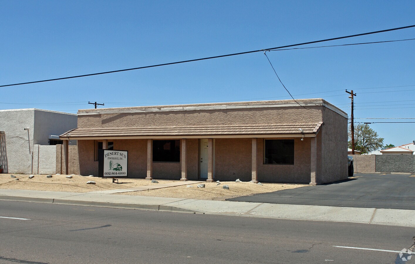
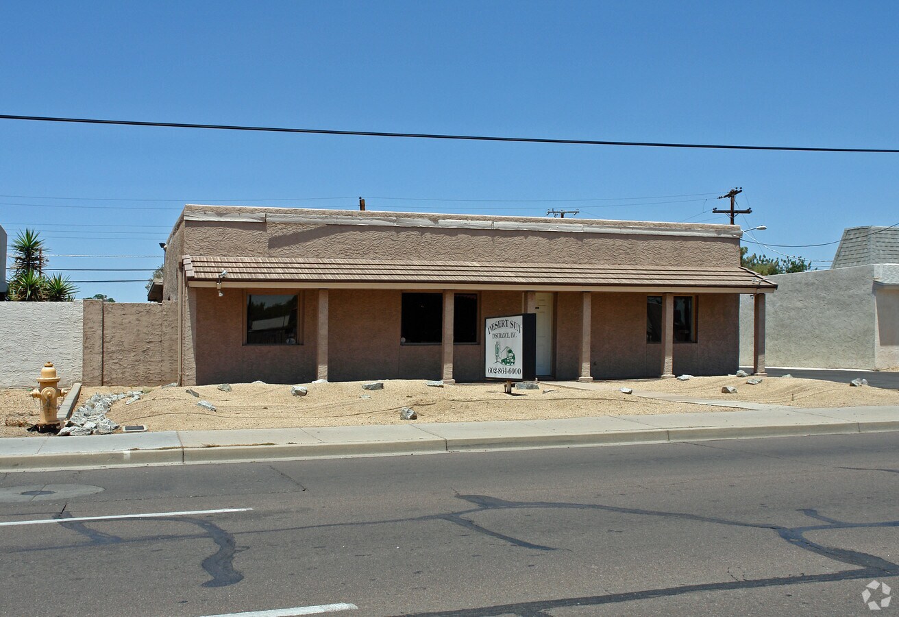
Property Record
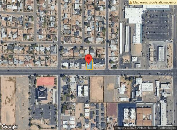
2814 W Northern Ave, Phoenix, AZ 85051
NEARBY LISTINGS FOR SALE OR LEASE
Property Detail
2814 W Northern Ave
Phoenix-Mesa-Scottsdale, AZ
Alta Vista 1
150-06-004
ALTA VISTA 1 LOT 5 & E 2 LOT 4
Officebuilding
Maricopa
X
Arizona
04013C1740L
5
2024
0.18 AC
2025
Northwest Phoenix
105601
Phoenix
1,432 SF
DEMOGRAPHICS near 2814 W Northern Ave
1 Mile
3 Mile
5 Mile
2024 Total Population
22,604
205,716
492,879
2029 Population
24,309
221,527
531,739
Pop Growth 2024-2029
+ 7.54%
+ 7.69%
+ 7.88%
Average Age
35
36
36
2024 Total Households
8,199
71,335
181,461
HH Growth 2024-2029
+ 7.72%
+ 8.13%
+ 8.18%
Median Household Inc
$45,223
$51,928
$54,553
Avg Household Size
2.60
2.60
2.60
2024 Avg HH Vehicles
2.00
2.00
2.00
Median Home Value
$236,856
$280,490
$299,858
Median Year Built
1974
1973
1974
Nearby Places
- Restaurants
- Banks
- Shops
- Fitness
- Groceries
PUBLIC TRANSPORTATION
AIRPORT
Phoenix Sky Harbor International
DRIVE
WALK
Distance
Phoenix Sky Harbor International
22 min
14.9 mi
Freight Ports
Port of San Diego
DRIVE
WALK
Distance
Port of San Diego
401 min
359.2 mi
Nearby Properties
Address
Land Use
TOTAL SIZE
Lot Size
Zoning
Address
Land Use
TOTAL SIZE
Lot Size
Zoning
956,022 SF
14.86 AC
Address
Land Use
TOTAL SIZE
Lot Size
Zoning
496,222 SF
29.53 AC
C-R
Address
Land Use
TOTAL SIZE
Lot Size
Zoning
474,952 SF
13.68 AC
C-C
Address
Land Use
TOTAL SIZE
Lot Size
Zoning
215,150 SF
13.24 AC
R-3
Address
Land Use
TOTAL SIZE
Lot Size
Zoning
276,102 SF
39.72 AC
AG
Address
Land Use
TOTAL SIZE
Lot Size
Zoning
211,015 SF
9.59 AC
R-6
Address
Land Use
TOTAL SIZE
Lot Size
Zoning
268,958 SF
38.42 AC
R-6
Address
Land Use
TOTAL SIZE
Lot Size
Zoning
194,523 SF
37.27 AC
R-6
Address
Land Use
TOTAL SIZE
Lot Size
Zoning
212,227 SF
27.70 AC
R-6
Address
Land Use
TOTAL SIZE
Lot Size
Zoning
584,674 SF
27.83 AC
R-3A
Address
Land Use
TOTAL SIZE
Lot Size
Zoning
362,729 SF
21.85 AC
Address
Land Use
TOTAL SIZE
Lot Size
Zoning
398,829 SF
11.66 AC
M-H
Address
Land Use
TOTAL SIZE
Lot Size
Zoning
99,714 SF
11.72 AC
R-6
Address
Land Use
TOTAL SIZE
Lot Size
Zoning
533,505 SF
27.68 AC
Address
Land Use
TOTAL SIZE
Lot Size
Zoning
154,128 SF
9.32 AC
I-1
Address
Land Use
TOTAL SIZE
Lot Size
Zoning
302,016 SF
28.06 AC
Address
Land Use
TOTAL SIZE
Lot Size
Zoning
139,343 SF
10.13 AC
R-6
Address
Land Use
TOTAL SIZE
Lot Size
Zoning
114,671 SF
13.28 AC
R-6
Address
Land Use
TOTAL SIZE
Lot Size
Zoning
228,072 SF
14.72 AC
C-C
Address
Land Use
TOTAL SIZE
Lot Size
Zoning
122,646 SF
14.69 AC
I-P
Address
Land Use
TOTAL SIZE
Lot Size
Zoning
259,062 SF
21.39 AC
C-R
Address
Land Use
TOTAL SIZE
Lot Size
Zoning
118,870 SF
10.49 AC
R1-10
Address
Land Use
TOTAL SIZE
Lot Size
Zoning
222,400 SF
6.42 AC
M-H
Address
Land Use
TOTAL SIZE
Lot Size
Zoning
206,428 SF
18.02 AC
C-C
Address
Land Use
TOTAL SIZE
Lot Size
Zoning
96,328 SF
15.58 AC
M-H
Address
Land Use
TOTAL SIZE
Lot Size
Zoning
252,368 SF
10.19 AC
R-3A
Address
Land Use
TOTAL SIZE
Lot Size
Zoning
113,313 SF
9.49 AC
R-6
Address
Land Use
TOTAL SIZE
Lot Size
Zoning
114,424 SF
10.88 AC
R-6
Address
Land Use
TOTAL SIZE
Lot Size
Zoning
143,422 SF
14.16 AC
C-C
Address
Land Use
TOTAL SIZE
Lot Size
Zoning
155,933 SF
4.46 AC
C-C
The World's #1 Commercial Real Estate Marketplace
Connect with us
© 2025 CoStar Group
The information above has been obtained from sources believed reliable. While we do not doubt its accuracy we have not verified it and make no guarantee, warranty or representation about it. It is your responsibility to independently confirm its accuracy and completeness. Any projections, opinions, assumptions, or estimates used are for example only and do not represent the current or future performance of the property. The value of this transaction to you depends on tax and other factors which should be evaluated by your tax, financial, and legal advisors. You and your advisors should conduct a careful, independent investigation of the property to determine to your satisfaction the suitability of the property for your needs.