Property Record
2821 Holland Rd, Suffolk, VA 23434

NEARBY LISTINGS FOR SALE OR LEASE
Property Detail
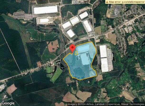
2821 Holland Rd
150413000
HWY 58 BAGGETT SO RWY EDWARDS
Commercialacreage
Suffolk City
A
Virginia
5101560210D
32.34 AC
2025
South Suffolk
2025
Hampton Roads
075702
Virginia Beach-Norfolk-Newport News, VA-NC
2,650 SF
DEMOGRAPHICS near 2821 Holland Rd
1 Mile
3 Mile
5 Mile
2024 Total Population
507
5,086
16,416
2029 Population
559
5,609
18,305
Pop Growth 2024-2029
+ 10.26%
+ 10.28%
+ 11.51%
Average Age
43
42
41
2024 Total Households
197
1,967
6,507
HH Growth 2024-2029
+ 10.66%
+ 10.63%
+ 11.82%
Median Household Inc
$90,312
$85,364
$69,918
Avg Household Size
2.60
2.60
2.50
2024 Avg HH Vehicles
2.00
2.00
2.00
Median Home Value
$283,950
$279,392
$281,567
Median Year Built
1986
1978
1975
Nearby Places
Map Layers
Map Styles
 Street
 Aerial
- Restaurants
- Banks
- Shops
- Fitness
- Groceries
PUBLIC TRANSPORTATION
AIRPORT
Norfolk International
DRIVE
WALK
Distance
Norfolk International
48 min
33.4 mi
Freight Ports
Virginia Port Authority - Portsmouth
DRIVE
WALK
Distance
Virginia Port Authority - Portsmouth
37 min
26.3 mi
SALE & LEASE HISTORY
LISTING DATE
SALE/LEASE

Sep 24, 2016
For Sale
Sep 24, 2016
For Sale
Nearby Properties
Address
Land Use
TOTAL SIZE
Lot Size
Zoning
Address
Land Use
TOTAL SIZE
Lot Size
Zoning
525 SF
161.67 AC
LIGHT INDU
Address
Land Use
TOTAL SIZE
Lot Size
Zoning
336,960 SF
27.70 AC
LIGHT INDU
Address
Land Use
TOTAL SIZE
Lot Size
Zoning
350,550 SF
21 AC
HEAVY INDU
Address
Land Use
TOTAL SIZE
Lot Size
Zoning
1,500 SF
69.49 AC
RES LOW-ME
Address
Land Use
TOTAL SIZE
Lot Size
Zoning
58,439 SF
15.27 AC
RES LOW-ME
Address
Land Use
TOTAL SIZE
Lot Size
Zoning
33,200 SF
41.33 AC
OFFICE-INS
Address
Land Use
TOTAL SIZE
Lot Size
Zoning
86,213 SF
61.69 AC
RES LOW-ME
Address
Land Use
TOTAL SIZE
Lot Size
Zoning
14,635 SF
2.58 AC
GENERAL CO
Address
Land Use
TOTAL SIZE
Lot Size
Zoning
7,540 SF
11.50 AC
LIGHT INDU
Address
Land Use
TOTAL SIZE
Lot Size
Zoning
2,640 SF
7.06 AC
GENERAL CO
Address
Land Use
TOTAL SIZE
Lot Size
Zoning
7,238 SF
7.96 AC
GENERAL CO
Address
Land Use
TOTAL SIZE
Lot Size
Zoning
25,642 SF
21.18 AC
HEAVY INDU
Address
Land Use
TOTAL SIZE
Lot Size
Zoning
3,010 SF
1.32 AC
GENERAL CO
The World's #1 Commercial Real Estate Marketplace
Connect with us
© 2025 CoStar Group
The information above has been obtained from sources believed reliable. While we do not doubt its accuracy we have not verified it and make no guarantee, warranty or representation about it. It is your responsibility to independently confirm its accuracy and completeness. Any projections, opinions, assumptions, or estimates used are for example only and do not represent the current or future performance of the property. The value of this transaction to you depends on tax and other factors which should be evaluated by your tax, financial, and legal advisors. You and your advisors should conduct a careful, independent investigation of the property to determine to your satisfaction the suitability of the property for your needs.