Property Record
2822 River Rd, Calverton, NY 11933


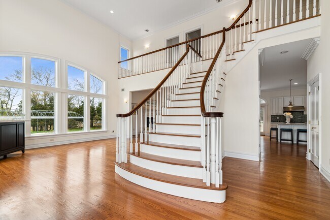
This Property Is For Sale
NEARBY LISTINGS FOR SALE OR LEASE
Property Detail
2822 River Rd
0600-136-00-01-00-004-000
N& E GAZZA &ANO SX RIV RD& ANO WX USA FLAG LOT
Vineyard
Suffolk
X
New York
36103C0442H
4
2024
15 AC
2024
Eastern Suffolk
169706
Long Island (New York)
4,965 SF
Nassau County-Suffolk County, NY
DEMOGRAPHICS near 2822 River Rd
1 Mile
3 Mile
5 Mile
2024 Total Population
584
5,461
30,940
2029 Population
580
5,392
30,857
Pop Growth 2024-2029
(0.68%)
(1.26%)
(0.27%)
Average Age
39
47
44
2024 Total Households
205
2,352
11,538
HH Growth 2024-2029
(0.49%)
(1.57%)
(0.29%)
Median Household Inc
$87,500
$65,088
$78,767
Avg Household Size
2.70
2.30
2.60
2024 Avg HH Vehicles
2.00
2.00
2.00
Median Home Value
$415,151
$289,328
$456,358
Median Year Built
1979
1984
1988
Nearby Places
Map Layers
Map Styles
 Street
 Aerial
- Restaurants
- Banks
- Shops
- Fitness
- Groceries
PUBLIC TRANSPORTATION
COMMUTER RAIL
Riverhead Station (Greenport Branch - Long Island Rail Road)
DRIVE
WALK
Distance
Riverhead Station (Greenport Branch - Long Island Rail Road)
12 min
5.7 mi
AIRPORT
Long Island MacArthur
DRIVE
WALK
Distance
Long Island MacArthur
41 min
24.6 mi
Freight Ports
Port of New Haven
DRIVE
WALK
Distance
Port of New Haven
146 min
57.7 mi
Nearby Properties
Address
Land Use
TOTAL SIZE
Lot Size
Zoning
Address
Land Use
TOTAL SIZE
Lot Size
Zoning
42.70 AC
9
Address
Land Use
TOTAL SIZE
Lot Size
Zoning
1,980.10 AC
10
Address
Land Use
TOTAL SIZE
Lot Size
Zoning
47.30 AC
9
Address
Land Use
TOTAL SIZE
Lot Size
Zoning
109.90 AC
Address
Land Use
TOTAL SIZE
Lot Size
Zoning
95.60 AC
PIP
Address
Land Use
TOTAL SIZE
Lot Size
Zoning
2,010 SF
115.10 AC
09
Address
Land Use
TOTAL SIZE
Lot Size
Zoning
25,620 SF
7.03 AC
9
Address
Land Use
TOTAL SIZE
Lot Size
Zoning
9,715 SF
82.50 AC
9
Address
Land Use
TOTAL SIZE
Lot Size
Zoning
20.72 AC
09
Address
Land Use
TOTAL SIZE
Lot Size
Zoning
26.39 AC
04
Address
Land Use
TOTAL SIZE
Lot Size
Zoning
92.73 AC
Address
Land Use
TOTAL SIZE
Lot Size
Zoning
1,435 SF
13.20 AC
Address
Land Use
TOTAL SIZE
Lot Size
Zoning
32.33 AC
Address
Land Use
TOTAL SIZE
Lot Size
Zoning
1,190 SF
32.16 AC
09
Address
Land Use
TOTAL SIZE
Lot Size
Zoning
45.10 AC
Address
Land Use
TOTAL SIZE
Lot Size
Zoning
385.40 AC
9
Address
Land Use
TOTAL SIZE
Lot Size
Zoning
70,775 SF
13 AC
4
Address
Land Use
TOTAL SIZE
Lot Size
Zoning
32.44 AC
Address
Land Use
TOTAL SIZE
Lot Size
Zoning
15,840 SF
50 AC
LI
Address
Land Use
TOTAL SIZE
Lot Size
Zoning
191.70 AC
04
Address
Land Use
TOTAL SIZE
Lot Size
Zoning
131,859 SF
28.62 AC
09
Address
Land Use
TOTAL SIZE
Lot Size
Zoning
2,880 SF
5.20 AC
09
Address
Land Use
TOTAL SIZE
Lot Size
Zoning
7.80 AC
DRC
Address
Land Use
TOTAL SIZE
Lot Size
Zoning
26.11 AC
Address
Land Use
TOTAL SIZE
Lot Size
Zoning
20.60 AC
PIP
Address
Land Use
TOTAL SIZE
Lot Size
Zoning
24.30 AC
4
Address
Land Use
TOTAL SIZE
Lot Size
Zoning
672 SF
13.90 AC
09
Address
Land Use
TOTAL SIZE
Lot Size
Zoning
14.78 AC
Address
Land Use
TOTAL SIZE
Lot Size
Zoning
1,785 SF
5.98 AC
09
Address
Land Use
TOTAL SIZE
Lot Size
Zoning
66,810 SF
10.08 AC
9
The World's #1 Commercial Real Estate Marketplace
Connect with us
© 2026 CoStar Group
The information above has been obtained from sources believed reliable. While we do not doubt its accuracy we have not verified it and make no guarantee, warranty or representation about it. It is your responsibility to independently confirm its accuracy and completeness. Any projections, opinions, assumptions, or estimates used are for example only and do not represent the current or future performance of the property. The value of this transaction to you depends on tax and other factors which should be evaluated by your tax, financial, and legal advisors. You and your advisors should conduct a careful, independent investigation of the property to determine to your satisfaction the suitability of the property for your needs.