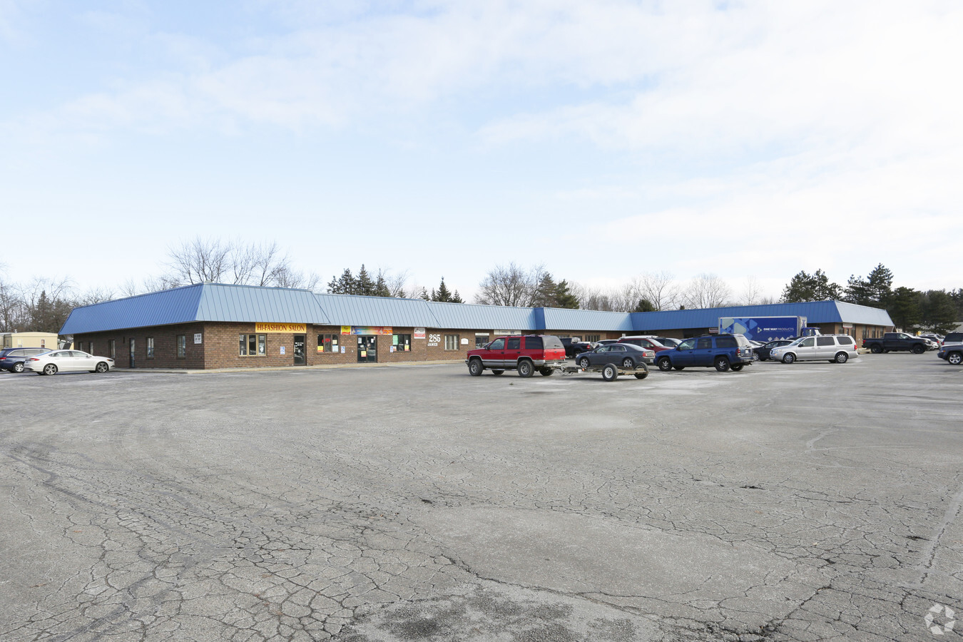
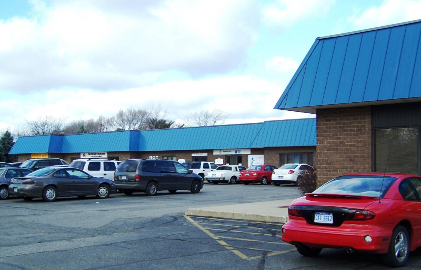
Property Record
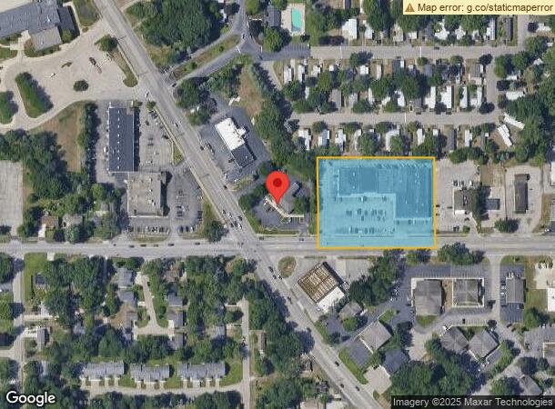
285 James St, Holland, MI 49424
NEARBY LISTINGS FOR SALE OR LEASE
Property Detail
285 James St
Grand Rapids-Wyoming, MI
PART SE 1/4 COM SE SEC COR, TH S 89D 48M 11S W 59749 FT TO PT OF BEG, TH CONT S 89D 48M 11S W 3702 FT, N 0D 05M 49S W 283 FT, N 89D 48M 11S E 3702, TH S 0D 05M 49S E 283 FT TO BEG SEC 18 T5N R15W
70-16-18-400-123
Ottawa
Stripcommercialcenter
Michigan
2023
2.12 AC
2024
Holland West
022208
West Michigan
40,827 SF
DEMOGRAPHICS near 285 James St
1 Mile
3 Mile
5 Mile
2024 Total Population
8,913
55,036
97,427
2029 Population
9,301
57,582
101,852
Pop Growth 2024-2029
+ 4.35%
+ 4.63%
+ 4.54%
Average Age
37
37
39
2024 Total Households
3,212
20,060
36,438
HH Growth 2024-2029
+ 4.51%
+ 4.88%
+ 4.70%
Median Household Inc
$59,579
$69,406
$75,564
Avg Household Size
2.70
2.60
2.50
2024 Avg HH Vehicles
2.00
2.00
2.00
Median Home Value
$185,994
$219,886
$247,619
Median Year Built
1979
1981
1983
Nearby Places
- Restaurants
- Banks
- Shops
- Fitness
- Groceries
PUBLIC TRANSPORTATION
COMMUTER RAIL
Holland Amtrak Station (Pere Marquette - Amtrak)
DRIVE
WALK
Distance
Holland Amtrak Station (Pere Marquette - Amtrak)
6 min
2.6 mi
Freight Ports
Port Milwaukee
DRIVE
WALK
Distance
Port Milwaukee
281 min
237.1 mi
SALE & LEASE HISTORY
LISTING DATE
SALE/LEASE

Sep 24, 2024
For Lease
Nearby Properties
Address
Land Use
TOTAL SIZE
Lot Size
Zoning
Address
Land Use
TOTAL SIZE
Lot Size
Zoning
572,832 SF
10.89 AC
PUD
Address
Land Use
TOTAL SIZE
Lot Size
Zoning
377,049 SF
24.47 AC
I-2
Address
Land Use
TOTAL SIZE
Lot Size
Zoning
346,440 SF
32.15 AC
PUD
Address
Land Use
TOTAL SIZE
Lot Size
Zoning
3,150 SF
25.40 AC
AG
Address
Land Use
TOTAL SIZE
Lot Size
Zoning
362,916 SF
19.23 AC
I-2
Address
Land Use
TOTAL SIZE
Lot Size
Zoning
508,619 SF
85.45 AC
I-2
Address
Land Use
TOTAL SIZE
Lot Size
Zoning
391,255 SF
40.67 AC
I-2
Address
Land Use
TOTAL SIZE
Lot Size
Zoning
176,802 SF
17.58 AC
AG
Address
Land Use
TOTAL SIZE
Lot Size
Zoning
320,270 SF
33.25 AC
PUD
Address
Land Use
TOTAL SIZE
Lot Size
Zoning
83,100 SF
Address
Land Use
TOTAL SIZE
Lot Size
Zoning
171 AC
Address
Land Use
TOTAL SIZE
Lot Size
Zoning
131,497 SF
37.54 AC
I-2
Address
Land Use
TOTAL SIZE
Lot Size
Zoning
137,917 SF
I-2
Address
Land Use
TOTAL SIZE
Lot Size
Zoning
90,508 SF
I-2
Address
Land Use
TOTAL SIZE
Lot Size
Zoning
660,002 SF
32.13 AC
I-2
Address
Land Use
TOTAL SIZE
Lot Size
Zoning
1,040 SF
32.85 AC
I-2
Address
Land Use
TOTAL SIZE
Lot Size
Zoning
118,444 SF
4.39 AC
PUD
Address
Land Use
TOTAL SIZE
Lot Size
Zoning
22.66 AC
Address
Land Use
TOTAL SIZE
Lot Size
Zoning
58,710 SF
6.96 AC
C-2
Address
Land Use
TOTAL SIZE
Lot Size
Zoning
210,792 SF
22.91 AC
C-2
Address
Land Use
TOTAL SIZE
Lot Size
Zoning
Address
Land Use
TOTAL SIZE
Lot Size
Zoning
209,455 SF
17 AC
C-2
Address
Land Use
TOTAL SIZE
Lot Size
Zoning
94,790 SF
1.74 AC
C-2
Address
Land Use
TOTAL SIZE
Lot Size
Zoning
329,784 SF
38.51 AC
I-2
Address
Land Use
TOTAL SIZE
Lot Size
Zoning
1,801 SF
23.26 AC
PUD
Address
Land Use
TOTAL SIZE
Lot Size
Zoning
134,490 SF
15.76 AC
C-2
Address
Land Use
TOTAL SIZE
Lot Size
Zoning
180,160 SF
Address
Land Use
TOTAL SIZE
Lot Size
Zoning
1,240 SF
90.07 AC
PUD
Address
Land Use
TOTAL SIZE
Lot Size
Zoning
90,865 SF
4.14 AC
C-2
Address
Land Use
TOTAL SIZE
Lot Size
Zoning
149,348 SF
9.22 AC
I-2
The World's #1 Commercial Real Estate Marketplace
Connect with us
© 2025 CoStar Group
The information above has been obtained from sources believed reliable. While we do not doubt its accuracy we have not verified it and make no guarantee, warranty or representation about it. It is your responsibility to independently confirm its accuracy and completeness. Any projections, opinions, assumptions, or estimates used are for example only and do not represent the current or future performance of the property. The value of this transaction to you depends on tax and other factors which should be evaluated by your tax, financial, and legal advisors. You and your advisors should conduct a careful, independent investigation of the property to determine to your satisfaction the suitability of the property for your needs.