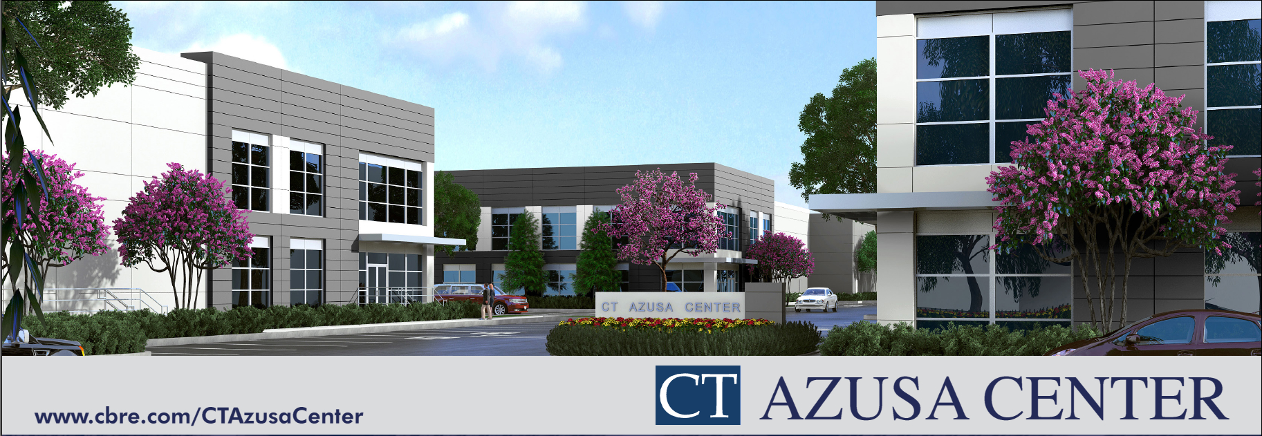
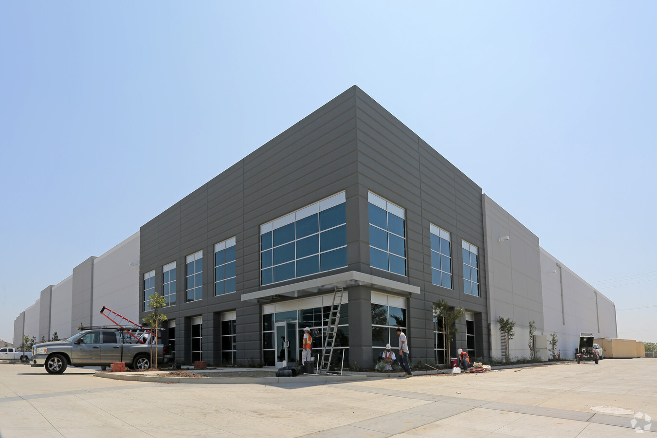
Property Record
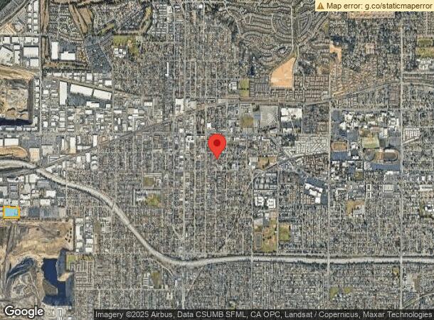
289 N Aerojet Dr, Azusa, CA 91702

NEARBY LISTINGS FOR SALE OR LEASE
Property Detail
289 N Aerojet Dr
Los Angeles-Long Beach-Glendale, CA
Parcel Map 73554
8615-001-405
P M 391-61-68 LOT 3
Warehouse
Los Angeles
X
California
06037C1420F
3
2024
4.67 AC
2024
Upper San Gabriel Valley
404301
Los Angeles
107,403 SF
DEMOGRAPHICS near 289 N Aerojet Dr
1 Mile
3 Mile
5 Mile
2024 Total Population
5,531
132,621
355,031
2029 Population
5,306
128,144
342,700
Pop Growth 2024-2029
(4.07%)
(3.38%)
(3.47%)
Average Age
38
39
40
2024 Total Households
1,421
38,647
107,720
HH Growth 2024-2029
(4.29%)
(3.55%)
(3.68%)
Median Household Inc
$83,817
$81,904
$85,254
Avg Household Size
3.70
3.30
3.20
2024 Avg HH Vehicles
3.00
2.00
2.00
Median Home Value
$614,811
$646,729
$696,865
Median Year Built
1954
1962
1960
Nearby Places
- Restaurants
- Banks
- Shops
- Fitness
- Groceries
PUBLIC TRANSPORTATION
TRANSIT/SUBWAY
Azusa Downtown Station (Metro A-Line - Metro - Los Angeles)
DRIVE
WALK
Distance
Azusa Downtown Station (Metro A-Line - Metro - Los Angeles)
1 min
12 min
0.5 mi
COMMUTER RAIL
Covina (San Bernardino Line - Southern California Regional Rail Authority (Metrolink))
DRIVE
WALK
Distance
Covina (San Bernardino Line - Southern California Regional Rail Authority (Metrolink))
7 min
3.7 mi
Baldwin Park (San Bernardino Line - Southern California Regional Rail Authority (Metrolink))
DRIVE
WALK
Distance
Baldwin Park (San Bernardino Line - Southern California Regional Rail Authority (Metrolink))
11 min
6.3 mi
AIRPORT
Ontario International
DRIVE
WALK
Distance
Ontario International
31 min
22.9 mi
Bob Hope
DRIVE
WALK
Distance
Bob Hope
41 min
31.8 mi
Long Beach (Daugherty Field)
DRIVE
WALK
Distance
Long Beach (Daugherty Field)
43 min
33.1 mi
Freight Ports
Port of Long Beach
DRIVE
WALK
Distance
Port of Long Beach
49 min
38.8 mi
SALE & LEASE HISTORY
LISTING DATE
SALE/LEASE

Sep 24, 2016
For Sale
Mar 22, 2017
For Sale
Nearby Properties
Address
Land Use
TOTAL SIZE
Lot Size
Zoning
Address
Land Use
TOTAL SIZE
Lot Size
Zoning
836,910 SF
75.03 AC
IRM25*
Address
Land Use
TOTAL SIZE
Lot Size
Zoning
533,650 SF
5.27 AC
GDCM
Address
Land Use
TOTAL SIZE
Lot Size
Zoning
1,104,998 SF
28 AC
IRM2*
Address
Land Use
TOTAL SIZE
Lot Size
Zoning
250,688 SF
13.90 AC
LCRA8000*
Address
Land Use
TOTAL SIZE
Lot Size
Zoning
221,911 SF
2.24 AC
AZCBD*
Address
Land Use
TOTAL SIZE
Lot Size
Zoning
270,111 SF
12.79 AC
IRM2*
Address
Land Use
TOTAL SIZE
Lot Size
Zoning
200,000 SF
11.41 AC
AZM2*
Address
Land Use
TOTAL SIZE
Lot Size
Zoning
822,602 SF
20.93 AC
AZM1
Address
Land Use
TOTAL SIZE
Lot Size
Zoning
160,000 SF
6.74 AC
AZM2*
Address
Land Use
TOTAL SIZE
Lot Size
Zoning
145,468 SF
21.59 AC
AZC2*
Address
Land Use
TOTAL SIZE
Lot Size
Zoning
108,544 SF
6.24 AC
LCC4*
Address
Land Use
TOTAL SIZE
Lot Size
Zoning
717,472 SF
16.11 AC
AZC3*
Address
Land Use
TOTAL SIZE
Lot Size
Zoning
155,884 SF
7.50 AC
AZA171/2
Address
Land Use
TOTAL SIZE
Lot Size
Zoning
329,324 SF
21.84 AC
AZM2
Address
Land Use
TOTAL SIZE
Lot Size
Zoning
66,831 SF
6.01 AC
GDC_RT66SP
Address
Land Use
TOTAL SIZE
Lot Size
Zoning
155,907 SF
4.38 AC
CVR3-RD150
Address
Land Use
TOTAL SIZE
Lot Size
Zoning
147,852 SF
5.29 AC
AZM2YY
Address
Land Use
TOTAL SIZE
Lot Size
Zoning
150,032 SF
3.14 AC
AZCB
Address
Land Use
TOTAL SIZE
Lot Size
Zoning
229,179 SF
13.50 AC
IRM1
Address
Land Use
TOTAL SIZE
Lot Size
Zoning
117,847 SF
10 AC
CVC3AY
Address
Land Use
TOTAL SIZE
Lot Size
Zoning
216,889 SF
27.71 AC
AZM2*
Address
Land Use
TOTAL SIZE
Lot Size
Zoning
76,220 SF
2.85 AC
AZR3B*
Address
Land Use
TOTAL SIZE
Lot Size
Zoning
160,160 SF
8.32 AC
GDR3
Address
Land Use
TOTAL SIZE
Lot Size
Zoning
589,171 SF
15.01 AC
IRM2
Address
Land Use
TOTAL SIZE
Lot Size
Zoning
271,440 SF
14.08 AC
AZM2*
Address
Land Use
TOTAL SIZE
Lot Size
Zoning
195,523 SF
5.04 AC
GDMS*
Address
Land Use
TOTAL SIZE
Lot Size
Zoning
63,600 SF
4.58 AC
CVC3A*
Address
Land Use
TOTAL SIZE
Lot Size
Zoning
436,341 SF
9.90 AC
IRM2
Address
Land Use
TOTAL SIZE
Lot Size
Zoning
72,000 SF
4.10 AC
AZM2*
Address
Land Use
TOTAL SIZE
Lot Size
Zoning
106,660 SF
3.75 AC
CVR3-RD150
The World's #1 Commercial Real Estate Marketplace
Connect with us
© 2025 CoStar Group
The information above has been obtained from sources believed reliable. While we do not doubt its accuracy we have not verified it and make no guarantee, warranty or representation about it. It is your responsibility to independently confirm its accuracy and completeness. Any projections, opinions, assumptions, or estimates used are for example only and do not represent the current or future performance of the property. The value of this transaction to you depends on tax and other factors which should be evaluated by your tax, financial, and legal advisors. You and your advisors should conduct a careful, independent investigation of the property to determine to your satisfaction the suitability of the property for your needs.