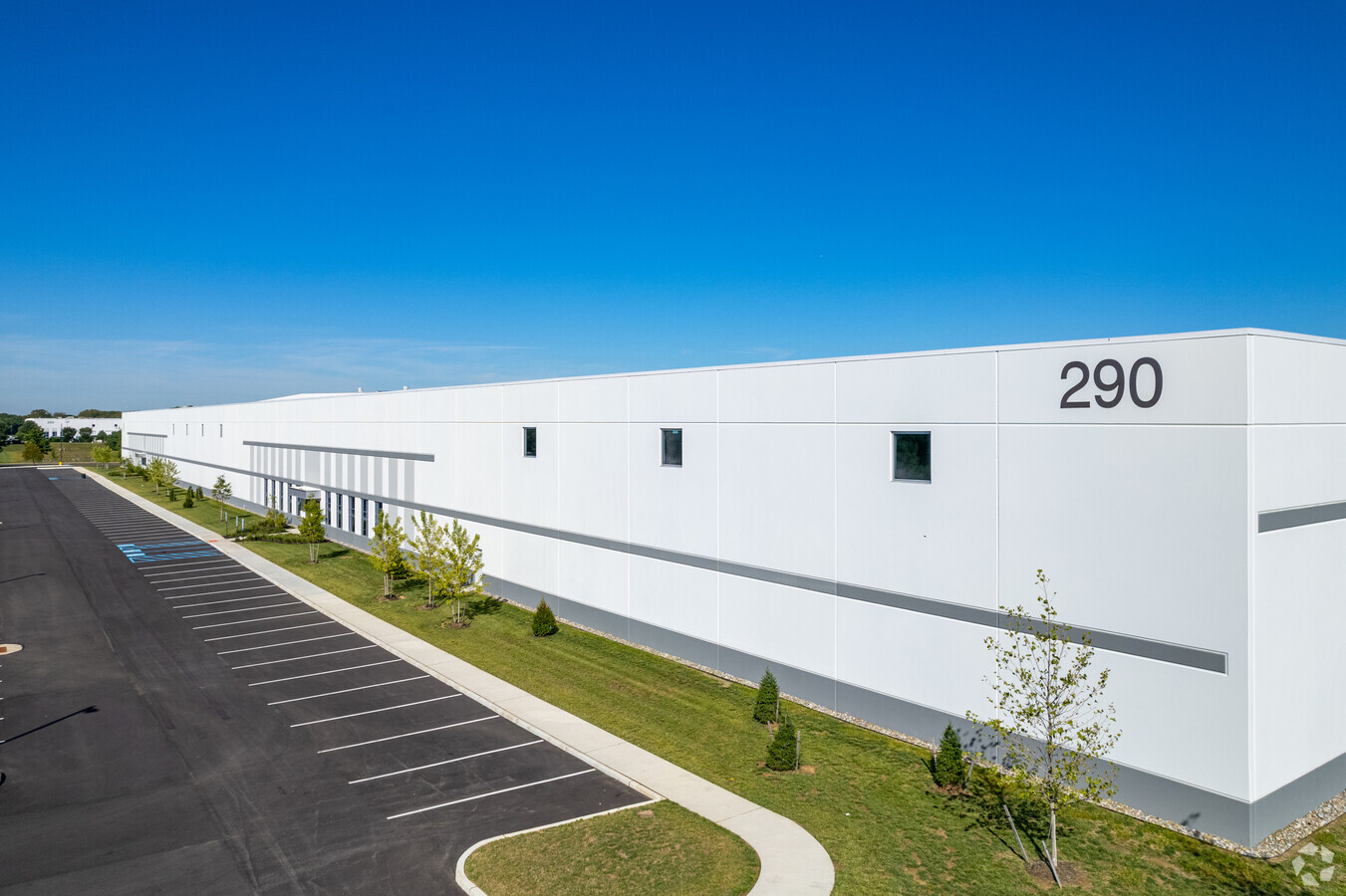
Property Record
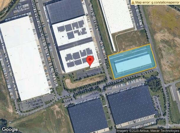
290 Daniels Way, Burlington, NJ 08016
NEARBY LISTINGS FOR SALE OR LEASE
Property Detail
290 Daniels Way
15-00158-0000-00001-02-QFARM
Burlington
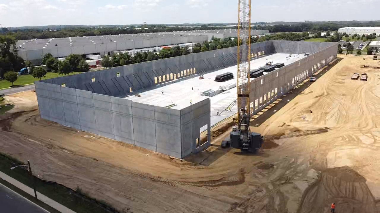
Industrialgeneral
New Jersey
X
1.2
34005C0131F
10.21 AC
2023
Burlington
2024
Philadelphia
701303
Philadelphia-Camden-Wilmington, PA-NJ-DE-MD
131,702 SF
DEMOGRAPHICS near 290 Daniels Way
1 Mile
3 Mile
5 Mile
2024 Total Population
3,242
42,678
133,183
2029 Population
3,309
43,035
133,720
Pop Growth 2024-2029
+ 2.07%
+ 0.84%
+ 0.40%
Average Age
42
41
41
2024 Total Households
1,329
16,394
50,469
HH Growth 2024-2029
+ 2.18%
+ 0.84%
+ 0.40%
Median Household Inc
$80,322
$83,723
$82,948
Avg Household Size
2.40
2.50
2.60
2024 Avg HH Vehicles
2.00
2.00
2.00
Median Home Value
$251,092
$260,940
$258,100
Median Year Built
1964
1957
1958
Nearby Places
- Restaurants
- Banks
- Shops
- Fitness
- Groceries
PUBLIC TRANSPORTATION
TRANSIT/SUBWAY
Florence (River LINE - River LINE (River LINE))
DRIVE
WALK
Distance
Florence (River LINE - River LINE (River LINE))
4 min
16 min
0.8 mi
COMMUTER RAIL
Bristol (R7 - Southeastern Pennsylvania Transportation Authority Regional Rail (SEPTA Regional Rail))
DRIVE
WALK
Distance
Bristol (R7 - Southeastern Pennsylvania Transportation Authority Regional Rail (SEPTA Regional Rail))
16 min
7.9 mi
Levittown (R7 - Southeastern Pennsylvania Transportation Authority Regional Rail (SEPTA Regional Rail))
DRIVE
WALK
Distance
Levittown (R7 - Southeastern Pennsylvania Transportation Authority Regional Rail (SEPTA Regional Rail))
17 min
9.0 mi
AIRPORT
Trenton Mercer
DRIVE
WALK
Distance
Trenton Mercer
35 min
19.6 mi
Philadelphia International
DRIVE
WALK
Distance
Philadelphia International
56 min
36.0 mi
Freight Ports
Port of Philadelphia
DRIVE
WALK
Distance
Port of Philadelphia
37 min
20.5 mi
SALE & LEASE HISTORY
LISTING DATE
SALE/LEASE

Aug 22, 2017
For Lease
Nearby Properties
Address
Land Use
TOTAL SIZE
Lot Size
Zoning
Address
Land Use
TOTAL SIZE
Lot Size
Zoning
65.99 AC
Address
Land Use
TOTAL SIZE
Lot Size
Zoning
22,300 SF
59.13 AC
Address
Land Use
TOTAL SIZE
Lot Size
Zoning
Address
Land Use
TOTAL SIZE
Lot Size
Zoning
913,620 SF
Address
Land Use
TOTAL SIZE
Lot Size
Zoning
16,960 SF
107.84 AC
Address
Land Use
TOTAL SIZE
Lot Size
Zoning
39.18 AC
Address
Land Use
TOTAL SIZE
Lot Size
Zoning
Address
Land Use
TOTAL SIZE
Lot Size
Zoning
77.35 AC
I-2
Address
Land Use
TOTAL SIZE
Lot Size
Zoning
486,812 SF
44.42 AC
Address
Land Use
TOTAL SIZE
Lot Size
Zoning
Address
Land Use
TOTAL SIZE
Lot Size
Zoning
Address
Land Use
TOTAL SIZE
Lot Size
Zoning
Address
Land Use
TOTAL SIZE
Lot Size
Zoning
Address
Land Use
TOTAL SIZE
Lot Size
Zoning
46.66 AC
I-1
Address
Land Use
TOTAL SIZE
Lot Size
Zoning
Address
Land Use
TOTAL SIZE
Lot Size
Zoning
Address
Land Use
TOTAL SIZE
Lot Size
Zoning
Address
Land Use
TOTAL SIZE
Lot Size
Zoning
Address
Land Use
TOTAL SIZE
Lot Size
Zoning
Address
Land Use
TOTAL SIZE
Lot Size
Zoning
Address
Land Use
TOTAL SIZE
Lot Size
Zoning
19,188 SF
29.52 AC
Address
Land Use
TOTAL SIZE
Lot Size
Zoning
23.38 AC
Address
Land Use
TOTAL SIZE
Lot Size
Zoning
Address
Land Use
TOTAL SIZE
Lot Size
Zoning
27.99 AC
Address
Land Use
TOTAL SIZE
Lot Size
Zoning
37.98 AC
I-2
Address
Land Use
TOTAL SIZE
Lot Size
Zoning
Address
Land Use
TOTAL SIZE
Lot Size
Zoning
300,700 SF
30.82 AC
Address
Land Use
TOTAL SIZE
Lot Size
Zoning
Address
Land Use
TOTAL SIZE
Lot Size
Zoning
23,591 SF
72.69 AC
I-1
Address
Land Use
TOTAL SIZE
Lot Size
Zoning
14.78 AC
R-20
The World's #1 Commercial Real Estate Marketplace
Connect with us
© 2025 CoStar Group
The information above has been obtained from sources believed reliable. While we do not doubt its accuracy we have not verified it and make no guarantee, warranty or representation about it. It is your responsibility to independently confirm its accuracy and completeness. Any projections, opinions, assumptions, or estimates used are for example only and do not represent the current or future performance of the property. The value of this transaction to you depends on tax and other factors which should be evaluated by your tax, financial, and legal advisors. You and your advisors should conduct a careful, independent investigation of the property to determine to your satisfaction the suitability of the property for your needs.