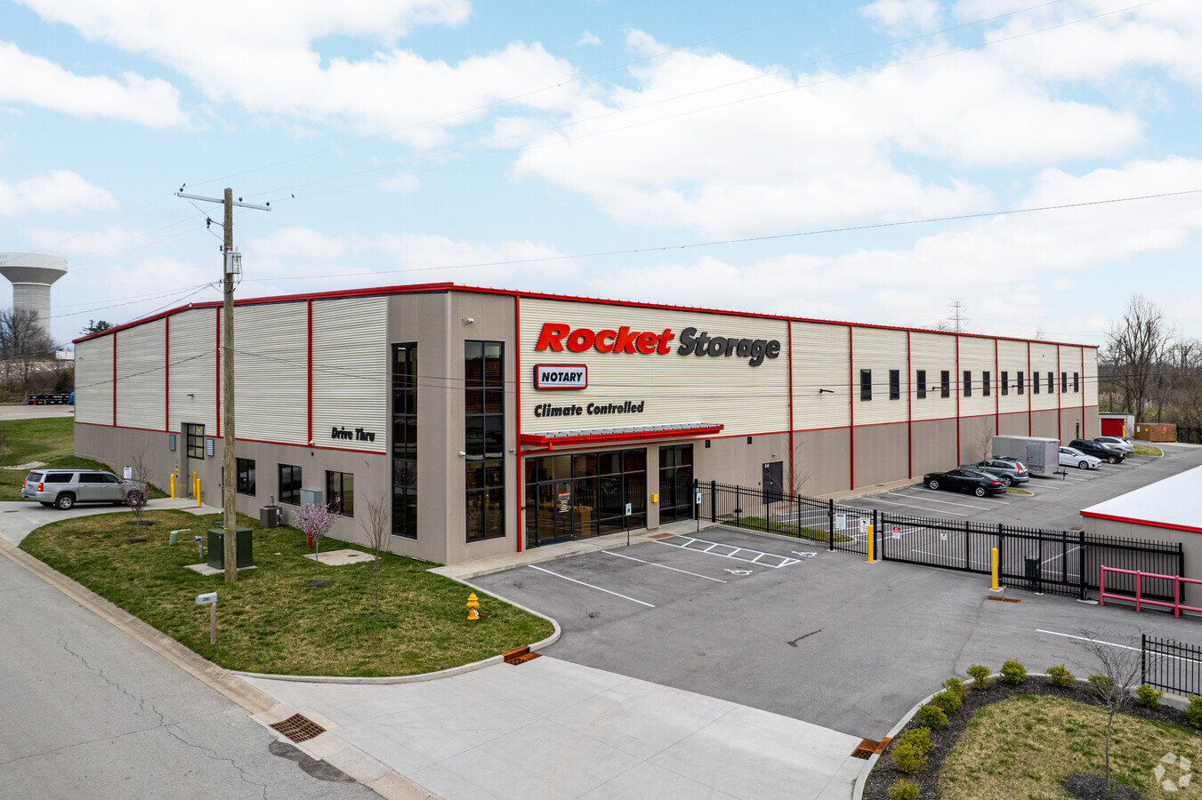
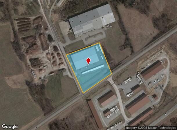
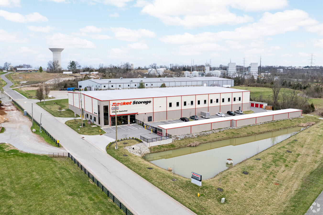
Property Record
2901 Interior Way, La Grange, KY 40031
NEARBY LISTINGS FOR SALE OR LEASE
-
-
View all La Grange listings for sale on LoopNet.com
Property Detail
2901 Interior Way
Louisville-Jefferson County, KY-IN
Morris A Talbott
39-00-00-3E
STORAGE BLDS & 3.293AC
Commercialnec
Oldham
X
Kentucky
21185C0120D
3e
2023
3.29 AC
2023
Oldham County
030301
Louisville
DEMOGRAPHICS near 2901 Interior Way
1 Mile
3 Mile
5 Mile
2024 Total Population
2,289
23,312
38,400
2029 Population
2,385
24,575
40,454
Pop Growth 2024-2029
+ 4.19%
+ 5.42%
+ 5.35%
Average Age
44
40
40
2024 Total Households
362
7,109
12,220
HH Growth 2024-2029
+ 8.29%
+ 6.22%
+ 5.92%
Median Household Inc
$126,826
$91,567
$96,595
Avg Household Size
2.90
2.80
2.80
2024 Avg HH Vehicles
2.00
2.00
2.00
Median Home Value
$311,403
$298,904
$313,196
Median Year Built
1987
1993
1993
Nearby Places
- Restaurants
- Banks
- Shops
- Fitness
- Groceries
PUBLIC TRANSPORTATION
AIRPORT
Louisville Muhammad Ali International
DRIVE
WALK
Distance
Louisville Muhammad Ali International
41 min
28.2 mi
Freight Ports
Port of Toledo
DRIVE
WALK
Distance
Port of Toledo
330 min
283.6 mi
Nearby Properties
Address
Land Use
TOTAL SIZE
Lot Size
Zoning
Address
Land Use
TOTAL SIZE
Lot Size
Zoning
Address
Land Use
TOTAL SIZE
Lot Size
Zoning
85.51 AC
Address
Land Use
TOTAL SIZE
Lot Size
Zoning
11.84 AC
Address
Land Use
TOTAL SIZE
Lot Size
Zoning
67.01 AC
Address
Land Use
TOTAL SIZE
Lot Size
Zoning
Address
Land Use
TOTAL SIZE
Lot Size
Zoning
56.97 AC
Address
Land Use
TOTAL SIZE
Lot Size
Zoning
295.27 AC
Address
Land Use
TOTAL SIZE
Lot Size
Zoning
151.49 AC
Address
Land Use
TOTAL SIZE
Lot Size
Zoning
17.68 AC
Address
Land Use
TOTAL SIZE
Lot Size
Zoning
33.71 AC
Address
Land Use
TOTAL SIZE
Lot Size
Zoning
Address
Land Use
TOTAL SIZE
Lot Size
Zoning
25.49 AC
Address
Land Use
TOTAL SIZE
Lot Size
Zoning
105,000 SF
45.85 AC
Address
Land Use
TOTAL SIZE
Lot Size
Zoning
11.95 AC
Address
Land Use
TOTAL SIZE
Lot Size
Zoning
7.07 AC
Address
Land Use
TOTAL SIZE
Lot Size
Zoning
Address
Land Use
TOTAL SIZE
Lot Size
Zoning
1.45 AC
Address
Land Use
TOTAL SIZE
Lot Size
Zoning
2.08 AC
Address
Land Use
TOTAL SIZE
Lot Size
Zoning
5.19 AC
Address
Land Use
TOTAL SIZE
Lot Size
Zoning
3.36 AC
Address
Land Use
TOTAL SIZE
Lot Size
Zoning
Address
Land Use
TOTAL SIZE
Lot Size
Zoning
9.58 AC
Address
Land Use
TOTAL SIZE
Lot Size
Zoning
0.81 AC
Address
Land Use
TOTAL SIZE
Lot Size
Zoning
75.21 AC
Address
Land Use
TOTAL SIZE
Lot Size
Zoning
60.37 AC
Address
Land Use
TOTAL SIZE
Lot Size
Zoning
3.34 AC
Address
Land Use
TOTAL SIZE
Lot Size
Zoning
0.28 AC
Address
Land Use
TOTAL SIZE
Lot Size
Zoning
48.82 AC
The World's #1 Commercial Real Estate Marketplace
Connect with us
© 2025 CoStar Group
The information above has been obtained from sources believed reliable. While we do not doubt its accuracy we have not verified it and make no guarantee, warranty or representation about it. It is your responsibility to independently confirm its accuracy and completeness. Any projections, opinions, assumptions, or estimates used are for example only and do not represent the current or future performance of the property. The value of this transaction to you depends on tax and other factors which should be evaluated by your tax, financial, and legal advisors. You and your advisors should conduct a careful, independent investigation of the property to determine to your satisfaction the suitability of the property for your needs.