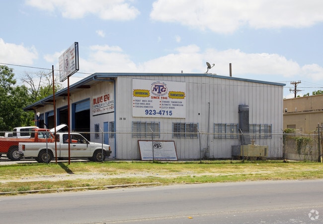
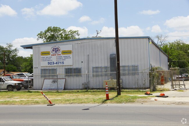
Property Record
2910 S Zarzamora St, San Antonio, TX 78225

NEARBY LISTINGS FOR SALE OR LEASE
Property Detail
2910 S Zarzamora St
San Antonio-New Braunfels, TX
Conv A/S Code
06968-003-0011
NCB 6968 BLK 3 LOT 1, 2, 10 FT STRIP BETWEEN 1 & 2 & S 34.01 FT OF 3
Autorepair
Bexar
X
Texas
48029C0395G
1
2024
0.50 AC
2025
South
160300
San Antonio
4,500 SF
DEMOGRAPHICS near 2910 S Zarzamora St
1 Mile
3 Mile
5 Mile
2024 Total Population
19,083
136,023
330,529
2029 Population
20,081
144,526
351,196
Pop Growth 2024-2029
+ 5.23%
+ 6.25%
+ 6.25%
Average Age
38
38
38
2024 Total Households
6,383
45,861
114,073
HH Growth 2024-2029
+ 5.36%
+ 6.69%
+ 6.75%
Median Household Inc
$35,508
$37,069
$39,583
Avg Household Size
2.90
2.80
2.70
2024 Avg HH Vehicles
2.00
2.00
2.00
Median Home Value
$93,894
$93,286
$121,648
Median Year Built
1951
1956
1958
Nearby Places
Map Layers
Map Styles
 Street
 Aerial
- Restaurants
- Banks
- Shops
- Fitness
- Groceries
PUBLIC TRANSPORTATION
COMMUTER RAIL
DRIVE
WALK
Distance
11 min
5.0 mi
AIRPORT
San Antonio International
DRIVE
WALK
Distance
San Antonio International
19 min
11.7 mi
Nearby Properties
Address
Land Use
TOTAL SIZE
Lot Size
Zoning
Address
Land Use
TOTAL SIZE
Lot Size
Zoning
180,980 SF
1,373.90 AC
Address
Land Use
TOTAL SIZE
Lot Size
Zoning
15,468 SF
4.18 AC
Address
Land Use
TOTAL SIZE
Lot Size
Zoning
7,018 SF
3.24 AC
Address
Land Use
TOTAL SIZE
Lot Size
Zoning
548,048 SF
27.53 AC
Address
Land Use
TOTAL SIZE
Lot Size
Zoning
399,007 SF
22.03 AC
Address
Land Use
TOTAL SIZE
Lot Size
Zoning
156,480 SF
3.46 AC
Address
Land Use
TOTAL SIZE
Lot Size
Zoning
13,153 SF
2.62 AC
Address
Land Use
TOTAL SIZE
Lot Size
Zoning
14,492 SF
6.62 AC
Address
Land Use
TOTAL SIZE
Lot Size
Zoning
291,374 SF
13.49 AC
Address
Land Use
TOTAL SIZE
Lot Size
Zoning
176,336 SF
18.74 AC
Address
Land Use
TOTAL SIZE
Lot Size
Zoning
7,542 SF
1.30 AC
Address
Land Use
TOTAL SIZE
Lot Size
Zoning
197,115 SF
2.29 AC
Address
Land Use
TOTAL SIZE
Lot Size
Zoning
242,297 SF
7.45 AC
Address
Land Use
TOTAL SIZE
Lot Size
Zoning
442,263 SF
37.97 AC
Address
Land Use
TOTAL SIZE
Lot Size
Zoning
447,169 SF
46.74 AC
Address
Land Use
TOTAL SIZE
Lot Size
Zoning
245,371 SF
20.50 AC
Address
Land Use
TOTAL SIZE
Lot Size
Zoning
63,850 SF
33.42 AC
Address
Land Use
TOTAL SIZE
Lot Size
Zoning
98,208 SF
0.94 AC
Address
Land Use
TOTAL SIZE
Lot Size
Zoning
280,704 SF
1.62 AC
Address
Land Use
TOTAL SIZE
Lot Size
Zoning
306,922 SF
32.07 AC
Address
Land Use
TOTAL SIZE
Lot Size
Zoning
Address
Land Use
TOTAL SIZE
Lot Size
Zoning
89,000 SF
1.48 AC
Address
Land Use
TOTAL SIZE
Lot Size
Zoning
102,456 SF
7.35 AC
Address
Land Use
TOTAL SIZE
Lot Size
Zoning
218,003 SF
12.33 AC
Address
Land Use
TOTAL SIZE
Lot Size
Zoning
Address
Land Use
TOTAL SIZE
Lot Size
Zoning
251,400 SF
10.62 AC
Address
Land Use
TOTAL SIZE
Lot Size
Zoning
153,244 SF
2.04 AC
Address
Land Use
TOTAL SIZE
Lot Size
Zoning
87,686 SF
32.01 AC
Address
Land Use
TOTAL SIZE
Lot Size
Zoning
231,592 SF
47.96 AC
Address
Land Use
TOTAL SIZE
Lot Size
Zoning
20.58 AC
The World's #1 Commercial Real Estate Marketplace
Connect with us
© 2026 CoStar Group
The information above has been obtained from sources believed reliable. While we do not doubt its accuracy we have not verified it and make no guarantee, warranty or representation about it. It is your responsibility to independently confirm its accuracy and completeness. Any projections, opinions, assumptions, or estimates used are for example only and do not represent the current or future performance of the property. The value of this transaction to you depends on tax and other factors which should be evaluated by your tax, financial, and legal advisors. You and your advisors should conduct a careful, independent investigation of the property to determine to your satisfaction the suitability of the property for your needs.