Property Record
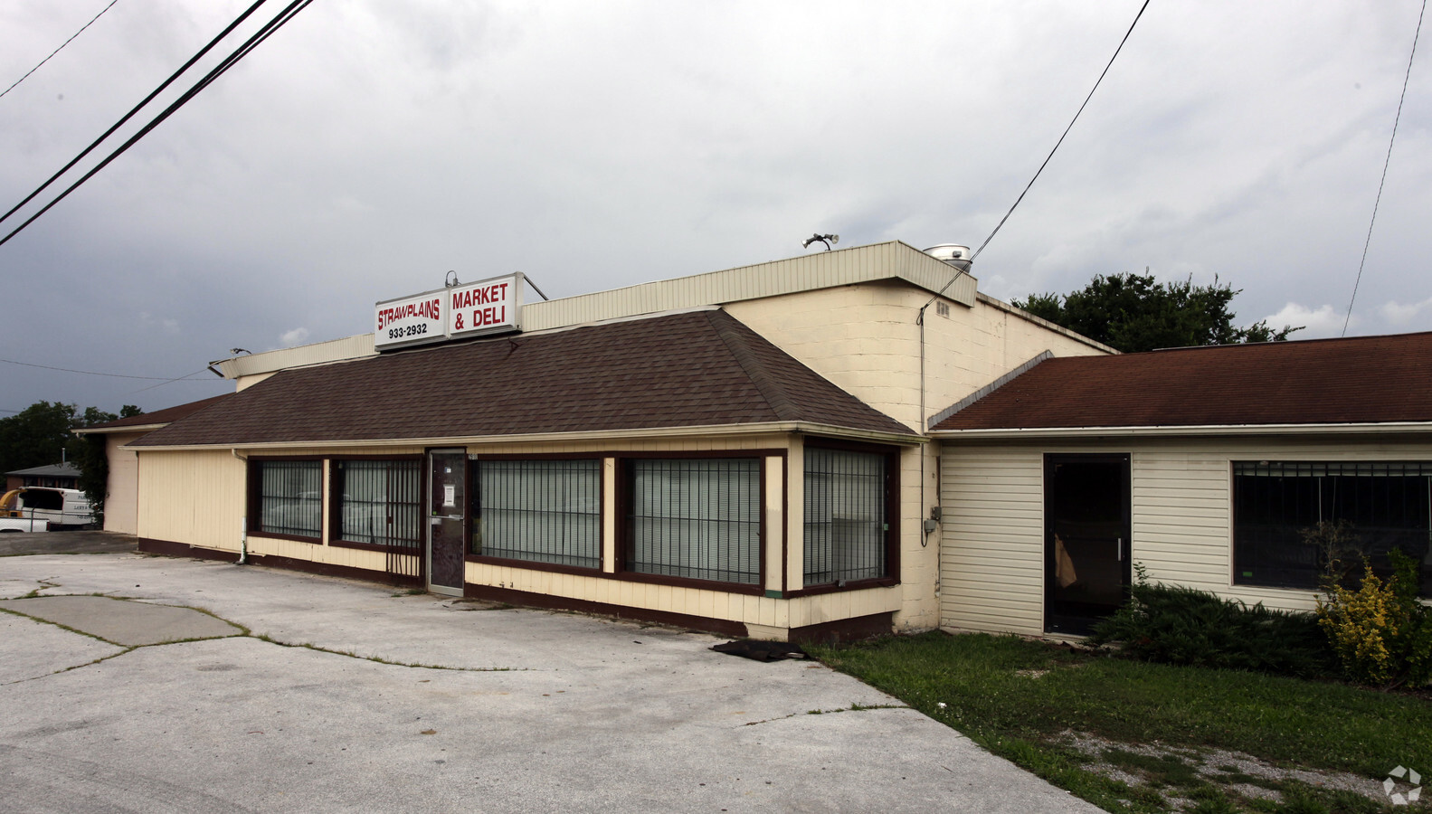
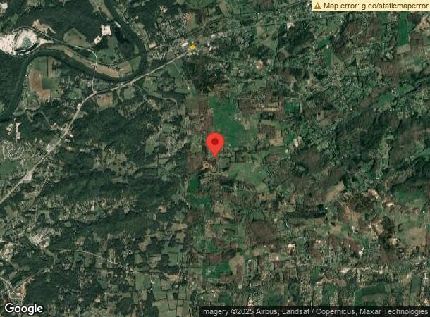
2910 W Highway 11-E W, Strawberry Plains, TN 37871
NEARBY LISTINGS FOR SALE OR LEASE
-
-
View all Strawberry Plains listings for sale on LoopNet.com
Property Detail
2910 W Highway 11-E W
041M-E-015.00
215X164.6 IRR
Countyproperty
Jefferson
X
Tennessee
47089C0125D
1 AC
2022
Tennessee East Area
2022
Other Market Areas
005302
Morristown, TN
8,116 SF
DEMOGRAPHICS near 2910 W Highway 11-E W
1 Mile
3 Mile
5 Mile
2024 Total Population
1,053
5,463
16,314
2029 Population
1,155
5,965
17,649
Pop Growth 2024-2029
+ 9.69%
+ 9.19%
+ 8.18%
Average Age
42
42
41
2024 Total Households
418
2,149
6,355
HH Growth 2024-2029
+ 9.33%
+ 9.03%
+ 8.15%
Median Household Inc
$64,166
$67,303
$59,639
Avg Household Size
2.50
2.50
2.50
2024 Avg HH Vehicles
2.00
2.00
2.00
Median Home Value
$158,707
$170,714
$191,143
Median Year Built
1982
1984
1986
Nearby Places
- Restaurants
- Banks
- Shops
- Fitness
- Groceries
PUBLIC TRANSPORTATION
AIRPORT
McGhee Tyson
DRIVE
WALK
Distance
McGhee Tyson
56 min
34.6 mi
Freight Ports
North Charleston Terminal
DRIVE
WALK
Distance
North Charleston Terminal
411 min
349.1 mi
Nearby Properties
Address
Land Use
TOTAL SIZE
Lot Size
Zoning
Address
Land Use
TOTAL SIZE
Lot Size
Zoning
4,386.24 AC
Address
Land Use
TOTAL SIZE
Lot Size
Zoning
25,906 SF
59.39 AC
Address
Land Use
TOTAL SIZE
Lot Size
Zoning
31.95 AC
Address
Land Use
TOTAL SIZE
Lot Size
Zoning
Address
Land Use
TOTAL SIZE
Lot Size
Zoning
Address
Land Use
TOTAL SIZE
Lot Size
Zoning
5,817 SF
137.50 AC
Address
Land Use
TOTAL SIZE
Lot Size
Zoning
Address
Land Use
TOTAL SIZE
Lot Size
Zoning
Address
Land Use
TOTAL SIZE
Lot Size
Zoning
14,435 SF
205.51 AC
R-1
Address
Land Use
TOTAL SIZE
Lot Size
Zoning
24,733 SF
10.27 AC
Address
Land Use
TOTAL SIZE
Lot Size
Zoning
Address
Land Use
TOTAL SIZE
Lot Size
Zoning
Address
Land Use
TOTAL SIZE
Lot Size
Zoning
1,352 SF
5.50 AC
Address
Land Use
TOTAL SIZE
Lot Size
Zoning
21,520 SF
95 AC
I1
Address
Land Use
TOTAL SIZE
Lot Size
Zoning
Address
Land Use
TOTAL SIZE
Lot Size
Zoning
Address
Land Use
TOTAL SIZE
Lot Size
Zoning
Address
Land Use
TOTAL SIZE
Lot Size
Zoning
Address
Land Use
TOTAL SIZE
Lot Size
Zoning
Address
Land Use
TOTAL SIZE
Lot Size
Zoning
Address
Land Use
TOTAL SIZE
Lot Size
Zoning
Address
Land Use
TOTAL SIZE
Lot Size
Zoning
Address
Land Use
TOTAL SIZE
Lot Size
Zoning
Address
Land Use
TOTAL SIZE
Lot Size
Zoning
Address
Land Use
TOTAL SIZE
Lot Size
Zoning
Address
Land Use
TOTAL SIZE
Lot Size
Zoning
Address
Land Use
TOTAL SIZE
Lot Size
Zoning
Address
Land Use
TOTAL SIZE
Lot Size
Zoning
10,044 SF
4.96 AC
Address
Land Use
TOTAL SIZE
Lot Size
Zoning
9,750 SF
1.90 AC
R-1
Address
Land Use
TOTAL SIZE
Lot Size
Zoning
The World's #1 Commercial Real Estate Marketplace
Connect with us
© 2025 CoStar Group
The information above has been obtained from sources believed reliable. While we do not doubt its accuracy we have not verified it and make no guarantee, warranty or representation about it. It is your responsibility to independently confirm its accuracy and completeness. Any projections, opinions, assumptions, or estimates used are for example only and do not represent the current or future performance of the property. The value of this transaction to you depends on tax and other factors which should be evaluated by your tax, financial, and legal advisors. You and your advisors should conduct a careful, independent investigation of the property to determine to your satisfaction the suitability of the property for your needs.