Property Record
2921 Wilson Dr Nw, Grand Rapids, MI 49534


NEARBY LISTINGS FOR SALE OR LEASE
Property Detail
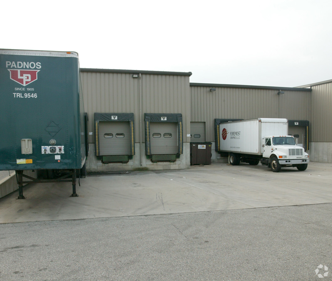
2921 Wilson Dr Nw
West Michigan
North Wilson Commerce Park
Grand Rapids-Wyoming, MI
LOT 1 * NORTH WILSON COMMERCE PARK
41-13-06-376-007
Kent
Manufacturinglight
Michigan
2024
1
2024
3.50 AC
011601
W Grand Rapids/Walker
66,294 SF
DEMOGRAPHICS near 2921 Wilson Dr Nw
1 Mile
3 Mile
5 Mile
2024 Total Population
3,032
20,669
58,751
2029 Population
3,123
21,064
59,638
Pop Growth 2024-2029
+ 3.00%
+ 1.91%
+ 1.51%
Average Age
40
40
40
2024 Total Households
1,213
8,002
24,511
HH Growth 2024-2029
+ 3.13%
+ 1.87%
+ 1.44%
Median Household Inc
$73,762
$74,698
$69,635
Avg Household Size
2.50
2.60
2.30
2024 Avg HH Vehicles
2.00
2.00
2.00
Median Home Value
$273,482
$258,994
$240,703
Median Year Built
1990
1985
1977
Nearby Places
- Restaurants
- Banks
- Shops
- Fitness
- Groceries
PUBLIC TRANSPORTATION
COMMUTER RAIL
Grand Rapids Vernon J. Ehlers Station (Pere Marquette - Amtrak)
DRIVE
WALK
Distance
Grand Rapids Vernon J. Ehlers Station (Pere Marquette - Amtrak)
14 min
9.8 mi
AIRPORT
Gerald R Ford International
DRIVE
WALK
Distance
Gerald R Ford International
32 min
22.8 mi
Freight Ports
Port Milwaukee
DRIVE
WALK
Distance
Port Milwaukee
308 min
263.3 mi
Nearby Properties
Address
Land Use
TOTAL SIZE
Lot Size
Zoning
Address
Land Use
TOTAL SIZE
Lot Size
Zoning
455,639 SF
42.06 AC
MH
Address
Land Use
TOTAL SIZE
Lot Size
Zoning
340,744 SF
69.50 AC
RPUD - 2
Address
Land Use
TOTAL SIZE
Lot Size
Zoning
337,324 SF
10.15 AC
C-3
Address
Land Use
TOTAL SIZE
Lot Size
Zoning
Address
Land Use
TOTAL SIZE
Lot Size
Zoning
410,206 SF
54.36 AC
MH
Address
Land Use
TOTAL SIZE
Lot Size
Zoning
183,517 SF
44.93 AC
ML
Address
Land Use
TOTAL SIZE
Lot Size
Zoning
190,882 SF
30.17 AC
MP
Address
Land Use
TOTAL SIZE
Lot Size
Zoning
113,016 SF
33.69 AC
IPUD
Address
Land Use
TOTAL SIZE
Lot Size
Zoning
389,181 SF
51.01 AC
RPUD - 2
Address
Land Use
TOTAL SIZE
Lot Size
Zoning
670,966 SF
40.67 AC
C-3
Address
Land Use
TOTAL SIZE
Lot Size
Zoning
59.89 AC
R-4
Address
Land Use
TOTAL SIZE
Lot Size
Zoning
132,680 SF
17.24 AC
IPUD
Address
Land Use
TOTAL SIZE
Lot Size
Zoning
267,000 SF
15.63 AC
IPUD
Address
Land Use
TOTAL SIZE
Lot Size
Zoning
332,315 SF
17.71 AC
MP
Address
Land Use
TOTAL SIZE
Lot Size
Zoning
247,168 SF
9.60 AC
MP
Address
Land Use
TOTAL SIZE
Lot Size
Zoning
250,469 SF
14.11 AC
ML
Address
Land Use
TOTAL SIZE
Lot Size
Zoning
134,118 SF
17.04 AC
IPUD
Address
Land Use
TOTAL SIZE
Lot Size
Zoning
162,765 SF
22.63 AC
MP
Address
Land Use
TOTAL SIZE
Lot Size
Zoning
200,831 SF
11.69 AC
MH
Address
Land Use
TOTAL SIZE
Lot Size
Zoning
140,841 SF
8.96 AC
Address
Land Use
TOTAL SIZE
Lot Size
Zoning
285,000 SF
17.66 AC
MH
Address
Land Use
TOTAL SIZE
Lot Size
Zoning
222,833 SF
20.49 AC
MH
Address
Land Use
TOTAL SIZE
Lot Size
Zoning
160,097 SF
11.58 AC
C-3
Address
Land Use
TOTAL SIZE
Lot Size
Zoning
197,220 SF
10.94 AC
MP
Address
Land Use
TOTAL SIZE
Lot Size
Zoning
123,668 SF
8.10 AC
Address
Land Use
TOTAL SIZE
Lot Size
Zoning
85,472 SF
12.17 AC
ARM - MULT
Address
Land Use
TOTAL SIZE
Lot Size
Zoning
278,088 SF
22.75 AC
MP
Address
Land Use
TOTAL SIZE
Lot Size
Zoning
150,000 SF
19.41 AC
IPUD
Address
Land Use
TOTAL SIZE
Lot Size
Zoning
261,550 SF
15.72 AC
MP
Address
Land Use
TOTAL SIZE
Lot Size
Zoning
196,250 SF
12.67 AC
MP
The World's #1 Commercial Real Estate Marketplace
Connect with us
© 2025 CoStar Group
The information above has been obtained from sources believed reliable. While we do not doubt its accuracy we have not verified it and make no guarantee, warranty or representation about it. It is your responsibility to independently confirm its accuracy and completeness. Any projections, opinions, assumptions, or estimates used are for example only and do not represent the current or future performance of the property. The value of this transaction to you depends on tax and other factors which should be evaluated by your tax, financial, and legal advisors. You and your advisors should conduct a careful, independent investigation of the property to determine to your satisfaction the suitability of the property for your needs.