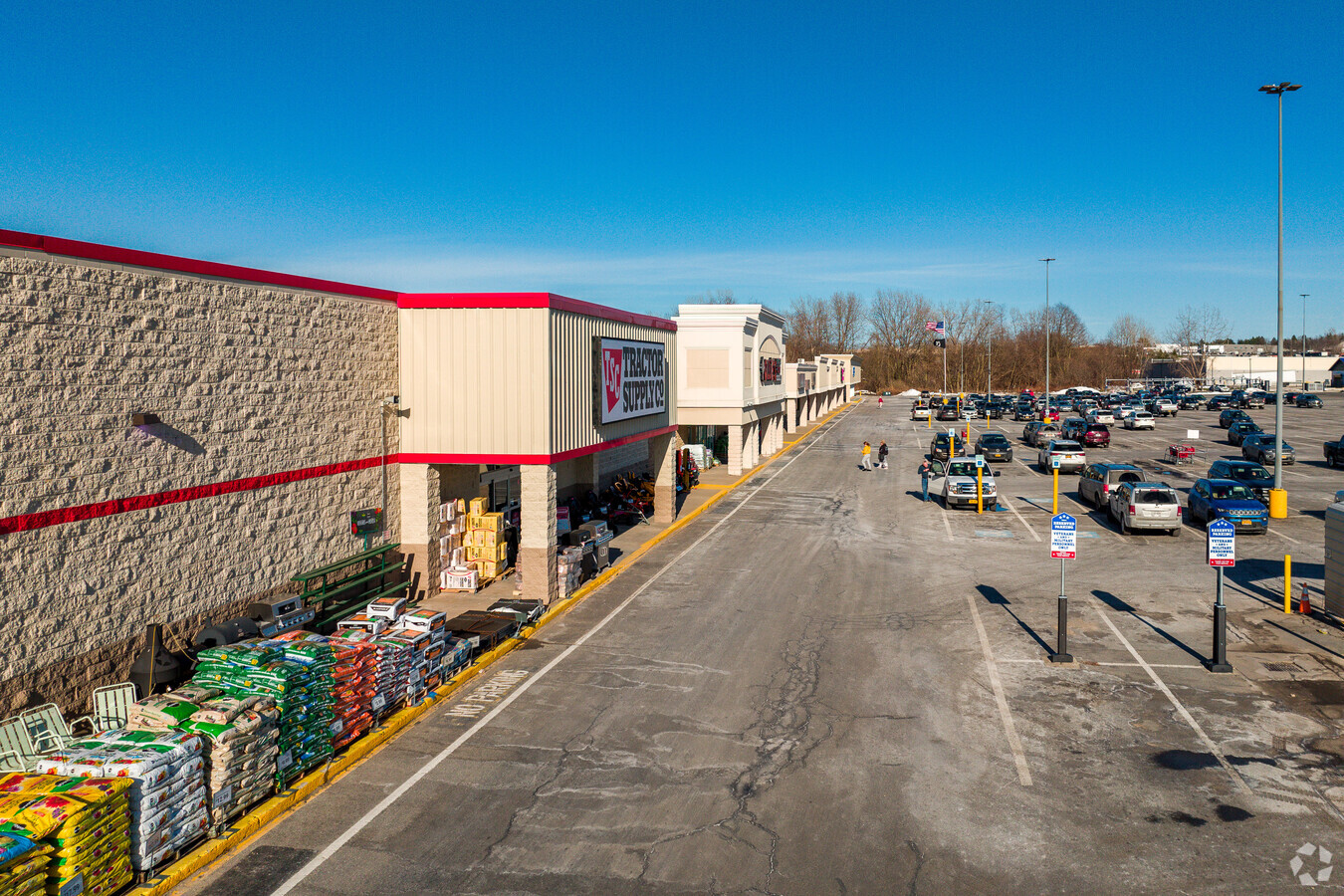
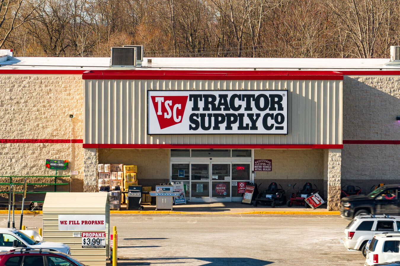
Property Record
293 State Route 104, Oswego, NY 13126
NEARBY LISTINGS FOR SALE OR LEASE
Property Detail
293 State Route 104
Syracuse, NY
Hamiltons Gore
351200-128-044-0001-003-000-0000
Oswego
Stripcommercialcenter
New York
AE
19.74 AC
36075C0278G
Oswego County
144,497 SF
Syracuse
DEMOGRAPHICS near 293 State Route 104
1 Mile
3 Mile
5 Mile
2024 Total Population
5,186
21,581
30,516
2029 Population
5,150
21,741
30,693
Pop Growth 2024-2029
(0.69%)
+ 0.74%
+ 0.58%
Average Age
40
41
39
2024 Total Households
2,257
9,250
11,528
HH Growth 2024-2029
(0.66%)
+ 0.75%
+ 0.59%
Median Household Inc
$54,760
$50,150
$53,669
Avg Household Size
2.20
2.20
2.20
2024 Avg HH Vehicles
2.00
2.00
2.00
Median Home Value
$106,701
$122,605
$130,507
Median Year Built
1954
1953
1960
Nearby Places
- Restaurants
- Banks
- Shops
- Fitness
- Groceries
SALE & LEASE HISTORY
LISTING DATE
SALE/LEASE

Sep 25, 2016
For Lease
Sep 24, 2020
For Lease
Oct 24, 2019
For Lease
Oct 10, 2016
For Lease
Aug 16, 2017
For Lease
Nearby Properties
Address
Land Use
TOTAL SIZE
Lot Size
Zoning
Address
Land Use
TOTAL SIZE
Lot Size
Zoning
54.93 AC
Address
Land Use
TOTAL SIZE
Lot Size
Zoning
51.50 AC
NONE
Address
Land Use
TOTAL SIZE
Lot Size
Zoning
178,730 SF
114.65 AC
IN
Address
Land Use
TOTAL SIZE
Lot Size
Zoning
Address
Land Use
TOTAL SIZE
Lot Size
Zoning
368 SF
27.36 AC
IN
Address
Land Use
TOTAL SIZE
Lot Size
Zoning
101,675 SF
3.27 AC
TD
Address
Land Use
TOTAL SIZE
Lot Size
Zoning
41,130 SF
6.30 AC
SR
Address
Land Use
TOTAL SIZE
Lot Size
Zoning
158,327 SF
91.50 AC
SR
Address
Land Use
TOTAL SIZE
Lot Size
Zoning
494.36 AC
Address
Land Use
TOTAL SIZE
Lot Size
Zoning
12,159 SF
4.54 AC
IN
Address
Land Use
TOTAL SIZE
Lot Size
Zoning
5,250 SF
0.28 AC
SR
Address
Land Use
TOTAL SIZE
Lot Size
Zoning
15.85 AC
IN
Address
Land Use
TOTAL SIZE
Lot Size
Zoning
55,212 SF
61.45 AC
TB
Address
Land Use
TOTAL SIZE
Lot Size
Zoning
4.50 AC
Address
Land Use
TOTAL SIZE
Lot Size
Zoning
35,960 SF
9.04 AC
PD
Address
Land Use
TOTAL SIZE
Lot Size
Zoning
151,461 SF
17.79 AC
CB
Address
Land Use
TOTAL SIZE
Lot Size
Zoning
117,256 SF
37.68 AC
SR
Address
Land Use
TOTAL SIZE
Lot Size
Zoning
65,058 SF
5.38 AC
SR
Address
Land Use
TOTAL SIZE
Lot Size
Zoning
111,479 SF
TB
Address
Land Use
TOTAL SIZE
Lot Size
Zoning
42,116 SF
4.88 AC
TB
Address
Land Use
TOTAL SIZE
Lot Size
Zoning
18,666 SF
128.63 AC
08 - GOVER
Address
Land Use
TOTAL SIZE
Lot Size
Zoning
36,820 SF
0.51 AC
TB
Address
Land Use
TOTAL SIZE
Lot Size
Zoning
7.89 AC
Address
Land Use
TOTAL SIZE
Lot Size
Zoning
70,137 SF
3.50 AC
Address
Land Use
TOTAL SIZE
Lot Size
Zoning
197,611 SF
11.29 AC
TN2
Address
Land Use
TOTAL SIZE
Lot Size
Zoning
30,210 SF
14.93 AC
CB
Address
Land Use
TOTAL SIZE
Lot Size
Zoning
72,004 SF
2.25 AC
TB
Address
Land Use
TOTAL SIZE
Lot Size
Zoning
110,438 SF
15.85 AC
CB
Address
Land Use
TOTAL SIZE
Lot Size
Zoning
84,153 SF
16.11 AC
TN2
The World's #1 Commercial Real Estate Marketplace
Connect with us
© 2025 CoStar Group
The information above has been obtained from sources believed reliable. While we do not doubt its accuracy we have not verified it and make no guarantee, warranty or representation about it. It is your responsibility to independently confirm its accuracy and completeness. Any projections, opinions, assumptions, or estimates used are for example only and do not represent the current or future performance of the property. The value of this transaction to you depends on tax and other factors which should be evaluated by your tax, financial, and legal advisors. You and your advisors should conduct a careful, independent investigation of the property to determine to your satisfaction the suitability of the property for your needs.