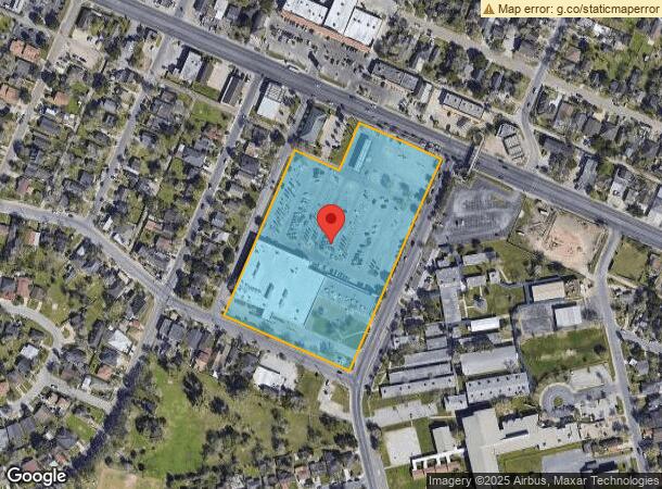
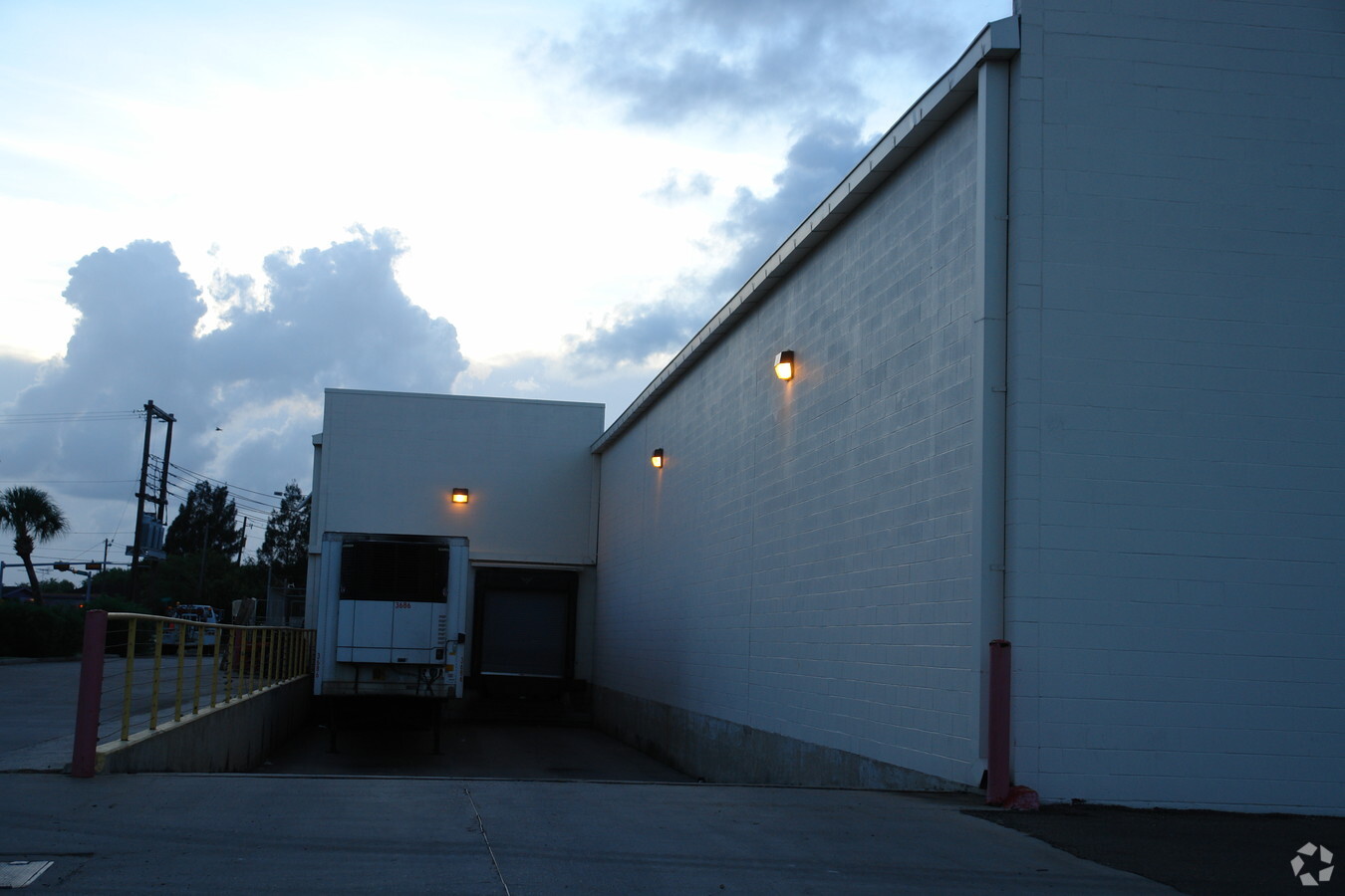
Property Record
2950 Southmost Rd, Brownsville, TX 78521

NEARBY LISTINGS FOR SALE OR LEASE
Property Detail
2950 Southmost Rd
Brownsville-Harlingen, TX
H E Butt No 4 Subdivision
034560-0000-001000
BROWNSVILLE-H E B NO 4 SUBD LOTS 1 & 2 , ACRES 7.292
Commercialnec
Cameron
X
Texas
48061C0590F
1,2
2023
7.29 AC
2024
Greater Brownsville
013903
Brownsville/Harlingen
80,407 SF
DEMOGRAPHICS near 2950 Southmost Rd
1 Mile
3 Mile
5 Mile
2024 Total Population
15,774
86,258
160,532
2029 Population
16,008
88,542
164,722
Pop Growth 2024-2029
+ 1.48%
+ 2.65%
+ 2.61%
Average Age
36
36
36
2024 Total Households
4,791
26,978
50,032
HH Growth 2024-2029
+ 1.54%
+ 2.63%
+ 2.61%
Median Household Inc
$34,619
$34,811
$38,667
Avg Household Size
3.20
3.10
3.10
2024 Avg HH Vehicles
2.00
2.00
2.00
Median Home Value
$57,200
$73,809
$83,323
Median Year Built
1978
1984
1989
Nearby Places
- Restaurants
- Banks
- Shops
- Fitness
- Groceries
PUBLIC TRANSPORTATION
AIRPORT
Brownsville/South Padre Island International
DRIVE
WALK
Distance
Brownsville/South Padre Island International
6 min
2.7 mi
Valley International
DRIVE
WALK
Distance
Valley International
39 min
29.1 mi
Freight Ports
Port of Brownsville
DRIVE
WALK
Distance
Port of Brownsville
10 min
5.8 mi
Nearby Properties
Address
Land Use
TOTAL SIZE
Lot Size
Zoning
Address
Land Use
TOTAL SIZE
Lot Size
Zoning
591,279 SF
49.02 AC
Address
Land Use
TOTAL SIZE
Lot Size
Zoning
319,798 SF
46.28 AC
Address
Land Use
TOTAL SIZE
Lot Size
Zoning
248,857 SF
37.16 AC
Address
Land Use
TOTAL SIZE
Lot Size
Zoning
302,902 SF
6.61 AC
C
Address
Land Use
TOTAL SIZE
Lot Size
Zoning
72,436 SF
22.08 AC
Address
Land Use
TOTAL SIZE
Lot Size
Zoning
145,240 SF
17.49 AC
Address
Land Use
TOTAL SIZE
Lot Size
Zoning
132,197 SF
10.70 AC
Address
Land Use
TOTAL SIZE
Lot Size
Zoning
167,653 SF
5.10 AC
Address
Land Use
TOTAL SIZE
Lot Size
Zoning
392,622 SF
55 AC
I
Address
Land Use
TOTAL SIZE
Lot Size
Zoning
213,521 SF
38.75 AC
Address
Land Use
TOTAL SIZE
Lot Size
Zoning
98,006 SF
20.30 AC
Address
Land Use
TOTAL SIZE
Lot Size
Zoning
142,385 SF
0.50 AC
Address
Land Use
TOTAL SIZE
Lot Size
Zoning
133,476 SF
8.14 AC
Address
Land Use
TOTAL SIZE
Lot Size
Zoning
107,815 SF
10 AC
Address
Land Use
TOTAL SIZE
Lot Size
Zoning
96,314 SF
6.77 AC
C
Address
Land Use
TOTAL SIZE
Lot Size
Zoning
87,909 SF
12 AC
Address
Land Use
TOTAL SIZE
Lot Size
Zoning
80,480 SF
10.68 AC
Address
Land Use
TOTAL SIZE
Lot Size
Zoning
88,256 SF
18.16 AC
Address
Land Use
TOTAL SIZE
Lot Size
Zoning
174,826 SF
5.82 AC
Address
Land Use
TOTAL SIZE
Lot Size
Zoning
57,845 SF
10.52 AC
Address
Land Use
TOTAL SIZE
Lot Size
Zoning
195,810 SF
26.95 AC
Address
Land Use
TOTAL SIZE
Lot Size
Zoning
101,588 SF
14 AC
Address
Land Use
TOTAL SIZE
Lot Size
Zoning
462.60 AC
Address
Land Use
TOTAL SIZE
Lot Size
Zoning
69,922 SF
4.13 AC
Address
Land Use
TOTAL SIZE
Lot Size
Zoning
102,316 SF
10.93 AC
Address
Land Use
TOTAL SIZE
Lot Size
Zoning
56,918 SF
2.95 AC
Address
Land Use
TOTAL SIZE
Lot Size
Zoning
85,803 SF
2.75 AC
Address
Land Use
TOTAL SIZE
Lot Size
Zoning
151,872 SF
Address
Land Use
TOTAL SIZE
Lot Size
Zoning
82,098 SF
20.25 AC
Address
Land Use
TOTAL SIZE
Lot Size
Zoning
63,315 SF
5.92 AC
C
The World's #1 Commercial Real Estate Marketplace
Connect with us
© 2025 CoStar Group
The information above has been obtained from sources believed reliable. While we do not doubt its accuracy we have not verified it and make no guarantee, warranty or representation about it. It is your responsibility to independently confirm its accuracy and completeness. Any projections, opinions, assumptions, or estimates used are for example only and do not represent the current or future performance of the property. The value of this transaction to you depends on tax and other factors which should be evaluated by your tax, financial, and legal advisors. You and your advisors should conduct a careful, independent investigation of the property to determine to your satisfaction the suitability of the property for your needs.