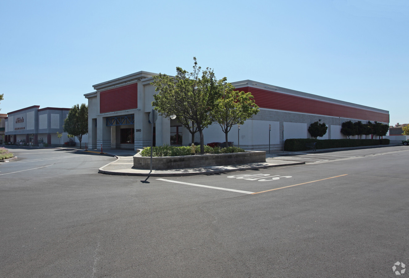
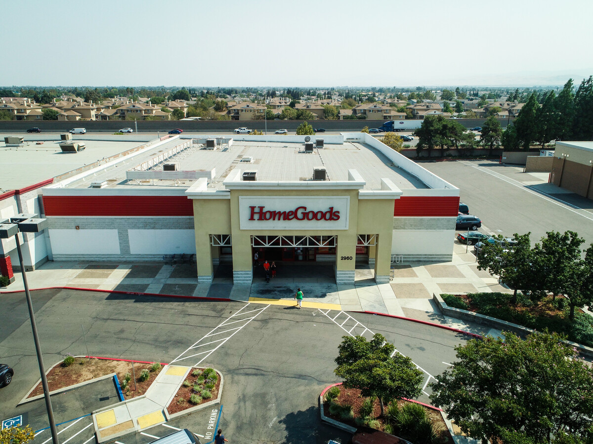
Property Record
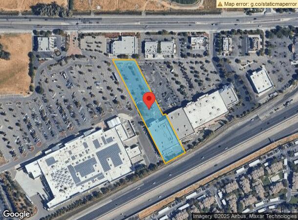
2960 W Grant Line Rd, Tracy, CA 95304

NEARBY LISTINGS FOR SALE OR LEASE
Property Detail
2960 W Grant Line Rd
238-600-12
Park Atherton
Storemultistory
REDRAWN APR-05-2007 FROM ORIGINAL APN 238-020-49
X
San Joaquin
06077C0590F
California
2024
2.18 AC
2024
Tracy/Manteca
005225
Stockton/Modesto
24,021 SF
Stockton-Lodi, CA
DEMOGRAPHICS near 2960 W Grant Line Rd
1 Mile
3 Mile
5 Mile
2024 Total Population
12,550
68,317
127,011
2029 Population
13,280
72,152
134,504
Pop Growth 2024-2029
+ 5.82%
+ 5.61%
+ 5.90%
Average Age
36
37
36
2024 Total Households
3,622
20,658
37,408
HH Growth 2024-2029
+ 5.85%
+ 5.63%
+ 5.93%
Median Household Inc
$107,395
$102,541
$118,627
Avg Household Size
3.40
3.20
3.30
2024 Avg HH Vehicles
3.00
2.00
3.00
Median Home Value
$737,945
$600,931
$662,345
Median Year Built
2002
1991
1998
Nearby Places
- Restaurants
- Banks
- Shops
- Fitness
- Groceries
PUBLIC TRANSPORTATION
COMMUTER RAIL
Tracy (Altamont Corridor Express - Altamont Commuter Express (ACE))
DRIVE
WALK
Distance
Tracy (Altamont Corridor Express - Altamont Commuter Express (ACE))
10 min
6.0 mi
AIRPORT
Stockton Metro
DRIVE
WALK
Distance
Stockton Metro
26 min
20.5 mi
Freight Ports
Port of Stockton
DRIVE
WALK
Distance
Port of Stockton
29 min
23.8 mi
SALE & LEASE HISTORY
LISTING DATE
SALE/LEASE

Aug 24, 2020
For Sale
Nearby Properties
Address
Land Use
TOTAL SIZE
Lot Size
Zoning
Address
Land Use
TOTAL SIZE
Lot Size
Zoning
94.93 AC
AG40
Address
Land Use
TOTAL SIZE
Lot Size
Zoning
663,568 SF
158.06 AC
Address
Land Use
TOTAL SIZE
Lot Size
Zoning
1,034,066 SF
61.05 AC
Address
Land Use
TOTAL SIZE
Lot Size
Zoning
8.90 AC
Address
Land Use
TOTAL SIZE
Lot Size
Zoning
653,447 SF
66.62 AC
IG
Address
Land Use
TOTAL SIZE
Lot Size
Zoning
1,601 SF
17.08 AC
PUD1
Address
Land Use
TOTAL SIZE
Lot Size
Zoning
3.77 AC
Address
Land Use
TOTAL SIZE
Lot Size
Zoning
77.75 AC
Address
Land Use
TOTAL SIZE
Lot Size
Zoning
726,000 SF
32.29 AC
M1
Address
Land Use
TOTAL SIZE
Lot Size
Zoning
223,849 SF
12.06 AC
Address
Land Use
TOTAL SIZE
Lot Size
Zoning
22,726 SF
8.96 AC
PUD1
Address
Land Use
TOTAL SIZE
Lot Size
Zoning
Address
Land Use
TOTAL SIZE
Lot Size
Zoning
16.37 AC
Address
Land Use
TOTAL SIZE
Lot Size
Zoning
225,000 SF
11.13 AC
M
Address
Land Use
TOTAL SIZE
Lot Size
Zoning
64,582 SF
3.10 AC
Address
Land Use
TOTAL SIZE
Lot Size
Zoning
190,388 SF
13.50 AC
Address
Land Use
TOTAL SIZE
Lot Size
Zoning
55,576 SF
2.65 AC
Address
Land Use
TOTAL SIZE
Lot Size
Zoning
92,211 SF
4.96 AC
Address
Land Use
TOTAL SIZE
Lot Size
Zoning
109,438 SF
6.23 AC
Address
Land Use
TOTAL SIZE
Lot Size
Zoning
8.30 AC
Address
Land Use
TOTAL SIZE
Lot Size
Zoning
62,246 SF
5.82 AC
NS
Address
Land Use
TOTAL SIZE
Lot Size
Zoning
47,064 SF
2.36 AC
GC
Address
Land Use
TOTAL SIZE
Lot Size
Zoning
158,572 SF
8.83 AC
Address
Land Use
TOTAL SIZE
Lot Size
Zoning
112,850 SF
8.11 AC
Address
Land Use
TOTAL SIZE
Lot Size
Zoning
11,375 SF
4.51 AC
Address
Land Use
TOTAL SIZE
Lot Size
Zoning
11.15 AC
Address
Land Use
TOTAL SIZE
Lot Size
Zoning
93,557 SF
9.70 AC
Address
Land Use
TOTAL SIZE
Lot Size
Zoning
3,000 SF
37.96 AC
IG
Address
Land Use
TOTAL SIZE
Lot Size
Zoning
31,862 SF
1.53 AC
Address
Land Use
TOTAL SIZE
Lot Size
Zoning
65,715 SF
5.01 AC
The World's #1 Commercial Real Estate Marketplace
Connect with us
© 2025 CoStar Group
The information above has been obtained from sources believed reliable. While we do not doubt its accuracy we have not verified it and make no guarantee, warranty or representation about it. It is your responsibility to independently confirm its accuracy and completeness. Any projections, opinions, assumptions, or estimates used are for example only and do not represent the current or future performance of the property. The value of this transaction to you depends on tax and other factors which should be evaluated by your tax, financial, and legal advisors. You and your advisors should conduct a careful, independent investigation of the property to determine to your satisfaction the suitability of the property for your needs.