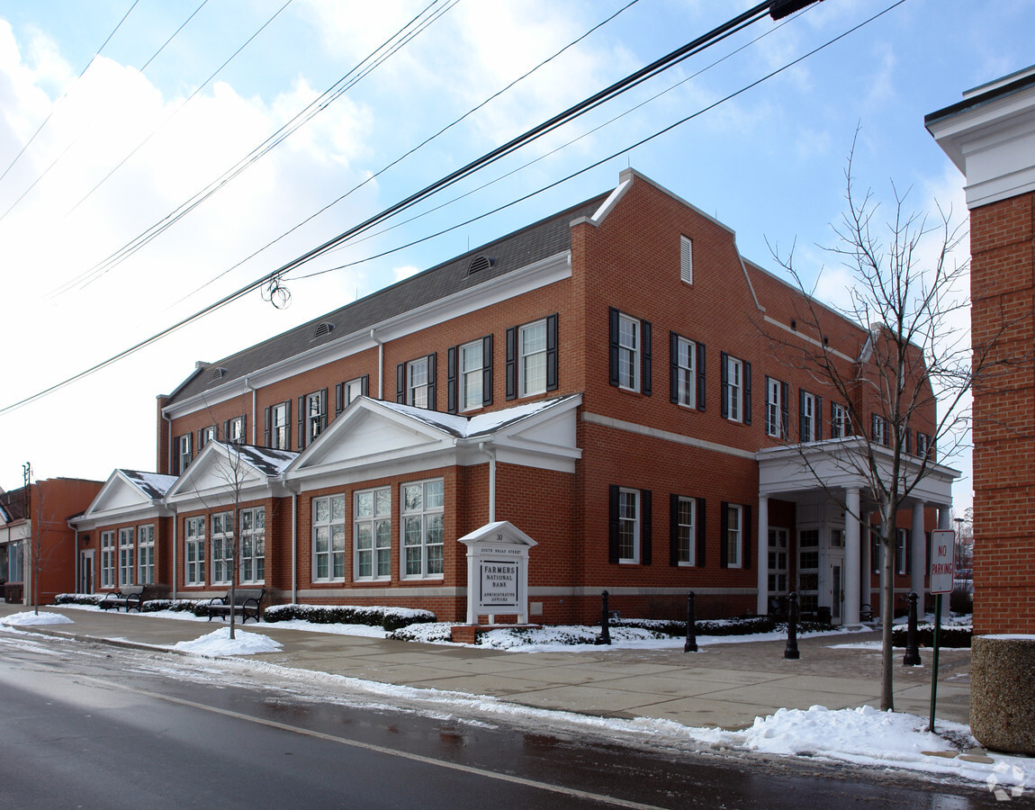
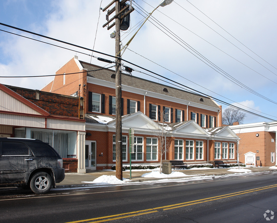
Property Record
30 S Broad St, Canfield, OH 44406
NEARBY LISTINGS FOR SALE OR LEASE
Property Detail
30 S Broad St
Youngstown/Warren/Boardman
Farmers National Bank Pl1
Youngstown-Warren-Boardman, OH-PA
LOT 2853 321.20 X 187.14 IRR FARMERS NATIONAL BANK PL1
28-005-0-108.01-0
Mahoning
Officebuilding
Ohio
2023
2853
2023
1.39 AC
812200
Mahoning County
14,094 SF
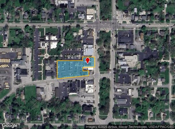
DEMOGRAPHICS near 30 S Broad St
1 Mile
3 Mile
5 Mile
2024 Total Population
4,071
17,729
59,654
2029 Population
3,965
17,231
57,974
Pop Growth 2024-2029
(2.60%)
(2.81%)
(2.82%)
Average Age
45
45
44
2024 Total Households
1,840
7,465
26,471
HH Growth 2024-2029
(2.83%)
(2.84%)
(2.86%)
Median Household Inc
$93,086
$88,293
$65,267
Avg Household Size
2.20
2.30
2.20
2024 Avg HH Vehicles
2.00
2.00
2.00
Median Home Value
$182,444
$256,801
$172,811
Median Year Built
1962
1981
1970
Nearby Places
- Restaurants
- Banks
- Shops
- Fitness
- Groceries
Nearby Properties
Address
Land Use
TOTAL SIZE
Lot Size
Zoning
Address
Land Use
TOTAL SIZE
Lot Size
Zoning
326,658 SF
78.41 AC
S
Address
Land Use
TOTAL SIZE
Lot Size
Zoning
Address
Land Use
TOTAL SIZE
Lot Size
Zoning
161,184 SF
29.51 AC
S
Address
Land Use
TOTAL SIZE
Lot Size
Zoning
47,538 SF
16.14 AC
C
Address
Land Use
TOTAL SIZE
Lot Size
Zoning
110,472 SF
18.39 AC
M1
Address
Land Use
TOTAL SIZE
Lot Size
Zoning
33,854 SF
3.36 AC
R1
Address
Land Use
TOTAL SIZE
Lot Size
Zoning
69,651 SF
2.43 AC
Address
Land Use
TOTAL SIZE
Lot Size
Zoning
46,813 SF
8.40 AC
Address
Land Use
TOTAL SIZE
Lot Size
Zoning
163,207 SF
9.19 AC
S
Address
Land Use
TOTAL SIZE
Lot Size
Zoning
332.96 AC
A
Address
Land Use
TOTAL SIZE
Lot Size
Zoning
59,999 SF
6.06 AC
B
Address
Land Use
TOTAL SIZE
Lot Size
Zoning
Address
Land Use
TOTAL SIZE
Lot Size
Zoning
56,432 SF
8.42 AC
B3
Address
Land Use
TOTAL SIZE
Lot Size
Zoning
58,972 SF
23.65 AC
S
Address
Land Use
TOTAL SIZE
Lot Size
Zoning
54,832 SF
2.01 AC
R2
Address
Land Use
TOTAL SIZE
Lot Size
Zoning
120.10 AC
Address
Land Use
TOTAL SIZE
Lot Size
Zoning
4,014 SF
22.66 AC
AG
Address
Land Use
TOTAL SIZE
Lot Size
Zoning
133,763 SF
39.18 AC
R1
Address
Land Use
TOTAL SIZE
Lot Size
Zoning
25,941 SF
6.10 AC
C
Address
Land Use
TOTAL SIZE
Lot Size
Zoning
43,236 SF
13.30 AC
S
Address
Land Use
TOTAL SIZE
Lot Size
Zoning
48,546 SF
1.74 AC
B
Address
Land Use
TOTAL SIZE
Lot Size
Zoning
26,649 SF
23.60 AC
A
Address
Land Use
TOTAL SIZE
Lot Size
Zoning
19,348 SF
3.40 AC
B
Address
Land Use
TOTAL SIZE
Lot Size
Zoning
36,619 SF
76.78 AC
A
Address
Land Use
TOTAL SIZE
Lot Size
Zoning
39,684 SF
4.48 AC
B3
Address
Land Use
TOTAL SIZE
Lot Size
Zoning
33,912 SF
1.44 AC
Address
Land Use
TOTAL SIZE
Lot Size
Zoning
31,542 SF
7.83 AC
B2
Address
Land Use
TOTAL SIZE
Lot Size
Zoning
18,361 SF
2.68 AC
R2
Address
Land Use
TOTAL SIZE
Lot Size
Zoning
55,109 SF
13.97 AC
S
Address
Land Use
TOTAL SIZE
Lot Size
Zoning
97,760 SF
10.22 AC
I
The World's #1 Commercial Real Estate Marketplace
Connect with us
© 2025 CoStar Group
The information above has been obtained from sources believed reliable. While we do not doubt its accuracy we have not verified it and make no guarantee, warranty or representation about it. It is your responsibility to independently confirm its accuracy and completeness. Any projections, opinions, assumptions, or estimates used are for example only and do not represent the current or future performance of the property. The value of this transaction to you depends on tax and other factors which should be evaluated by your tax, financial, and legal advisors. You and your advisors should conduct a careful, independent investigation of the property to determine to your satisfaction the suitability of the property for your needs.